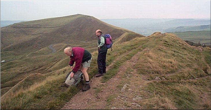
Looking towards Mam Tor as Paul searches for his camera to capture the scene
|

|
|
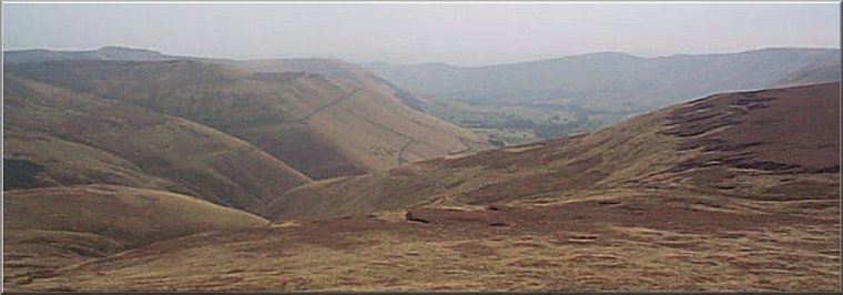
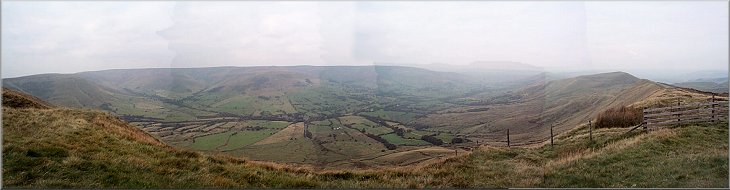
Looking back along Rushup Edge to Mam Tor
We set off just after 10.00am and climbed up through the woods behind
the car park to the Mam Tor ridge. Here we crossed the road and headed west
along Rushup Edge for 2.5km where we turned right to follow a path for almost
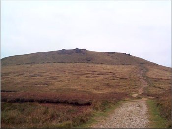
3km to the trig point at Brown Knoll. The trig point itself is a sorry sight.
These nostalgic landmarks are no longer used by the Ordnance Survey (redundant
in the days of aerial photography and computers) and this one has fallen off
it's stone pedestal to lie forlornly in the mud. |
It's been quite a day to-day. I drove to Mam Tor above Edale in Derbyshire to meet
two friends I used to be in the boy scouts with over 40 years ago. One of
them, Paul, I haven't seen for over 20 Years and the other, Ray, I haven't
seen for over 40 years. Needless to say I didn't recognise him when I got
to the car park on Mam Tor (map ref. SK123832). The last time I saw him he
was a boy in short trousers, just like me. Now we're both quite a bit older. Paul
hadn't aged much in the last 20 years, just a bit greyer but alarmingly fit.
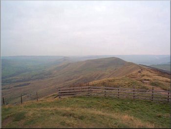
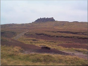
Looking towards Brown Knoll from the end of Rushup Edge
|
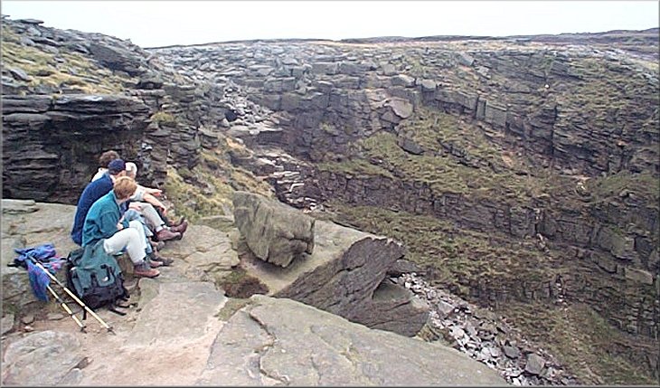
Looking down Edale from Brown Knoll
with the rocky outline of Kinder Scout to the left and the peaks of the Mam
Tor ridge to the right
|
The Swine's Back ridge on the skyline
Causeway at Edale Head
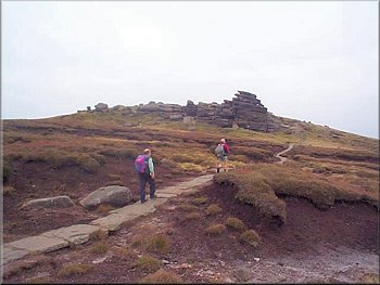
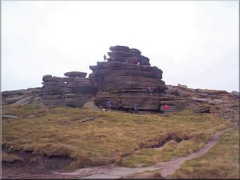
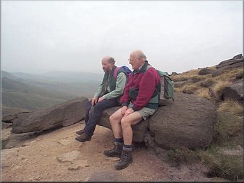
From the Swine's Back we continued up onto the edge of Kinder Scout itself at
a large anvil shaped rock called the Noe Stool. From here we walked a few
hundred metres along the edge to another rocky outcrop called Pym Chair where
we stopped for some lunch with a view over Edale from the rocky edge of Kinder
Scout. |
The sky was a uniform overcast grey but the view down Edale was still spectacular
with the rocky outline of Kinder Scout to the left and the Mam
Tor ridge to the right. From Brown Knoll we continued north past the Swine's Back (a short rocky ridge).
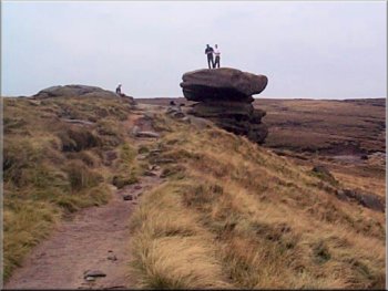
The Noe Stool
Rock climber on an outcrop near Edale Head
|
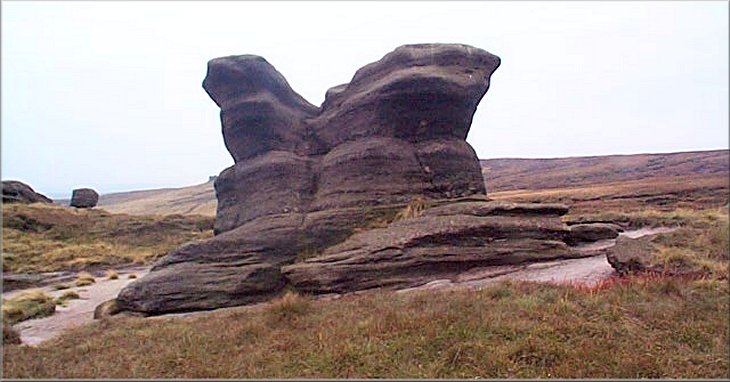
The Pym Chair
|
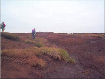
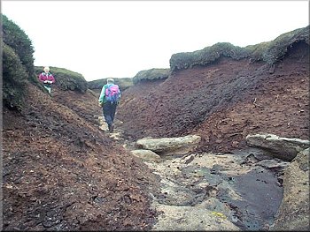
Crossing the peaty wastes of Kinder Scout
Following the Kinder river system to the Downfall
We followed the dry bed of the watercourse for about 2km until we emerged at the downfall
itself. The whole river system is dry at this time of year. The downfall is
the point where the watercourse pours over the rocky edge of the Kinder plateau
at an impressive site.
|
After lunch we headed north east on a compass bearing for 400m and then north
for 400m across the peaty wastes of Kinder Scout until we intercepted one
of the tributaries of the Kinder river system that flows towards the Kinder downfall.
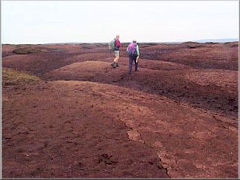
Crossing the peaty wastes of Kinder Scout
Taking in the view at Kinder Downfall
|
Kinder Downfall
|
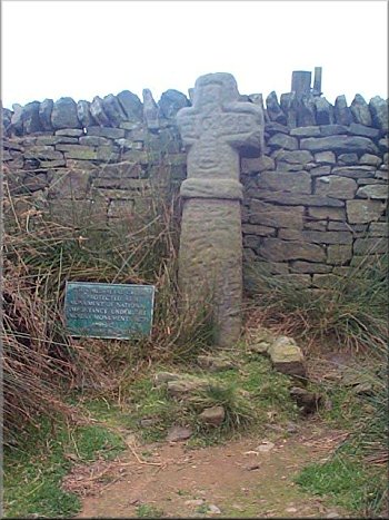
Medieval Cross by the Swine's Back ridge
From the
cross we took the bridleway east for 400m to rejoin the path we used on our
outward route from Brown Knoll. We then followed our outward route for about
6.5km back to the car park. The whole route is about 20km and took us over
six and a half hours including plenty of stops for drinks and to take in the
wonderful scenery. It had been a really good day with good company and lots
of references to "do you remember so-and-so" etc. We agreed to met again soon,
well definitely less than 20 years. |
From the Kinder Downfall we turned south to follow the Pennine Way
route for about 2.5km as far as Edale Rocks where we took a paved path
(not marked on my old map) going behind the Swine's Back ridge
to Edale Cross - a medieval stone cross with a carved inscription.
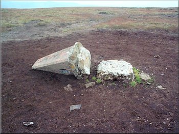
Fallen trig point on Brown Knoll
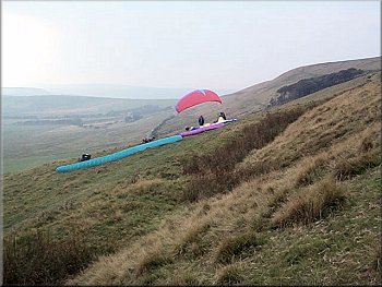
Paragliding enthusiasts waiting for the wind on Rushup Edge
|
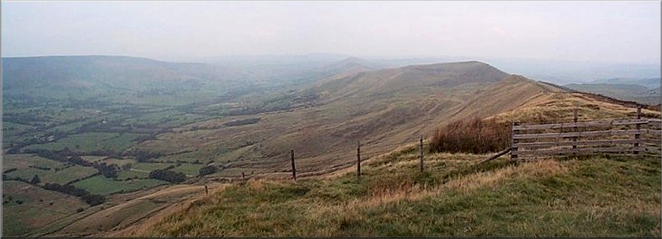
Looking along Rushup Edge towards Mam Tor
|