|
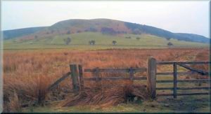
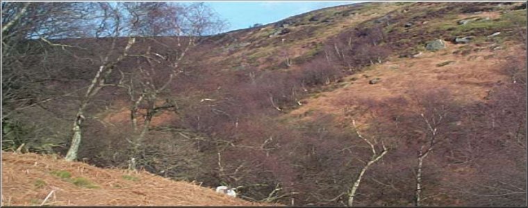
Birk Nab
He was very friendly and commented on the lovely
weather, but he declined to give my friend's toe nails a trim. We
continued along the green road for 1km to map ref. SE 624921 and turned
right onto a path that crosses a green road called Little Roll Gate
and then goes across the moor on an odd curved path. There is a well
defined path on the ground but it doesn't follow the path on the map.
The path on the ground goes to map ref. SE 631925 at the wall corner
and you can follow the wall round to map ref. SE 634926 to rejoin
the path where it enters the wood. On the map the path in the wood
follows the ridge down the end of the spur to the river, but be careful
at the top where it is very boggy. We kept just to the south side
of the ridge where a track which leads down in the right direction.
There is a new wooden footbridge over Hodge Beck and after crossing
the bridge we climbed the path to Ankness ridge and on through the
farm yard at Ankness.
|
Today, tree of us drove to map ref. SE 609903 opposite the phone
box about 7km north of Helmsley on the road through Carlton towards
Bransdale. We started walking about 9.45 on the path beside the phone
box over the fields to Lund Farm. The path goes to the north side
of the farm and just beyond the farm we turned right to head south
west to map ref. SE 621902 on a narrow tarmac lane. We turned left
to head north past Birk Nab Farm and on to an old green road. The
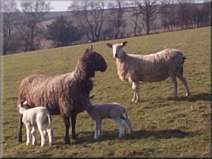
farmer was out with his dog and we couldn't make out what he was doing.
The dog seemed to be running into the flock of sheep and breaking
them up instead of gathering them together, but in a few moments all
became clear. He was isolating one particular ewe that was very lame
and as soon as the dog had brought the ewe within reach the farmer
grabbed it, sat it on it's bum and began to trim its feet with a very
sharp clasp knife.

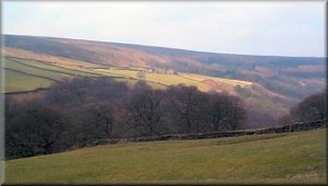
Green road near Birk Nab Farm
|
|
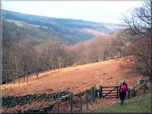
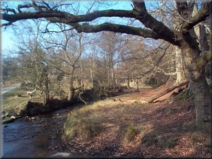
Hodge Beckbelow Ankness ridge
We crossed the road and made our way across some
rough heather to the farm road to "Old Kiln" We took the path down
the side of Old Kiln and crossed Bogmire Gill to climb about 100m
up through the woods to a forest track at map ref. SE 602921. We turned
left on to the track and followed it for about 1.5km to map ref. SE
607906, where we joined a footpath along a farm track over a footbridge
back to the road about 100m from our starting point. The whole walk
was about 13km and took us four and a half hours including a couple
of stops in the sunshine.
|
We followed the footpath up the valley to the footbridge back over
Hodge Beck by the weir at map ref. SE 626945. We climbed up through
the woods to the ruined farm at map ref. SE 623945. From here we took
the bridleway up to the Little Roll Gate green road at map ref. SE
615947. This path gives some lovely views up to the head of Bransdale
that you miss if you stick to the stoney track up from the ruined
farm. We turned south along the green road to map ref. SE 618933 where
we turned right and continued up to the road at map ref. SE 607929.
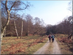
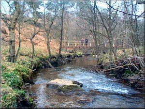
Looking along Hodge Beck from Ankness ridge
|