white horse logo

Low Mill - Farndale
Low Mill - Farndale

Menu:

National Parks

| 2001 walks | 2002 walks | 2003 walks | 2004 walks |
| 2005 walks | 2006 walks | 2007 walks | 2008 walks |
| 2009 walks | 2010 walks | 2011 walks | 2012 walks |
| 2013 walks | 2014 walks | 2015 walks | 2016 walks |
| 2017 walks | 2018 walks | 2019 walks |2020 walks |
| 2021 walks | 1993-2000 library | Find a Route Index |
| A few Routes to print out | Request a Route... |

Route No 119
Tuesday 22 December 2004
Rudland Rigg, Farndale, Low Mill circuit
North York Moors . . .

Map: OS Explorer OL26 North York Moors Western area at 1:25000
Ordnance Survey route map on the Landranger series map base
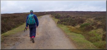
Setting out along Rudland Rigg
My neighbour, Jim, and I drove up to Rudland Rigg this morning. The reason for coming back to this area was quite simple. We planned to get a bag full of organic vegetables for the Christmas dinner from the farm shop on the village green in Fadmoor. We did some hedgelaying for the farmer, Howard Wass, last winter and we were very impressed with the quality of his produce. After finishing our shopping we parked at map ref. SE 659926 where the track over Rudland Rigg leaves the modern tarmac road. The weather was quite cloudy but there were some breaks in the cloud and overall it was a good day for a walk.
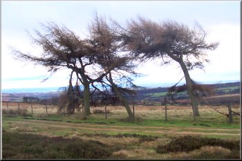
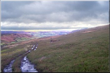
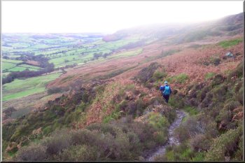
We followed the track along Rudland Rigg roughly northwards for over 4km to map ref SE 644969 where we turned right on to a bridleway heading down West Gill for about 3km to Low Mill. As we descended West Gill the scenery was stunning with dark clouds and the shafts of sunlight breaking through onto the valley floor. We stopped for a break and a drink in a grouse shooting butt beside the path before we had descended too far to see the view down Farndale. From Low Mill we followed the road up the hill to map ref. SE 669948. Here we took the path that initially crosses the back garden of a cottage before crossing a lane and climbing up to some woods. At the top of the woods the path turns left to climb diagonally up a steep rocky slope passing a disused quarry near the top and then breaking out onto the open moor. The path joins a track at map ref. SE 669935 where there are three larch trees on the fence line providing an excellent land mark. We followed the track to rejoin the track on Rudland Rigg at map ref. SE 657934 and turned left to walk the final 600m back to the car. The whole route had been just over 12km and had taken us almost 4 hours to walk including our lunch stop. We had a final drink back at the car before returning home with our organic vegetables for Christmas.
three larch trees on the fence line providing  an excellent land mark
Three larch trees on the fence line
providing an excellent land mark
The path down West Gill
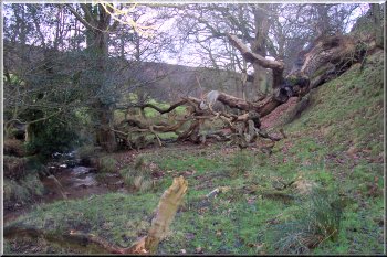
Fallen tree where the path crosses West Gill Beck
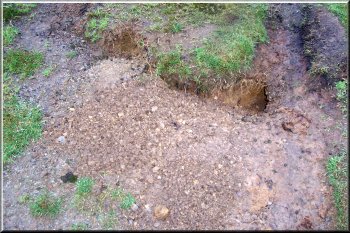
Rabbit hole with fresh excavation
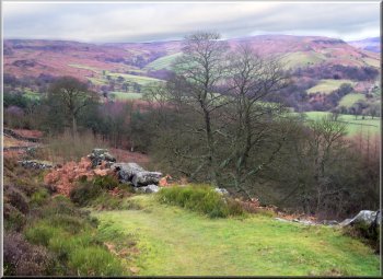
Looking back up West Gill from the path at map ref. SE 667944
Looking back up West Gill
from the path at map ref. SE 667944
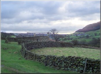
Ruined barn in West Gill
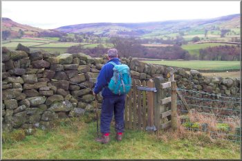
Leaving the cottage garden at map ref SE 668947
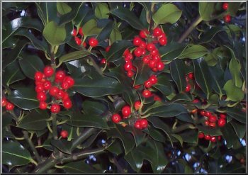
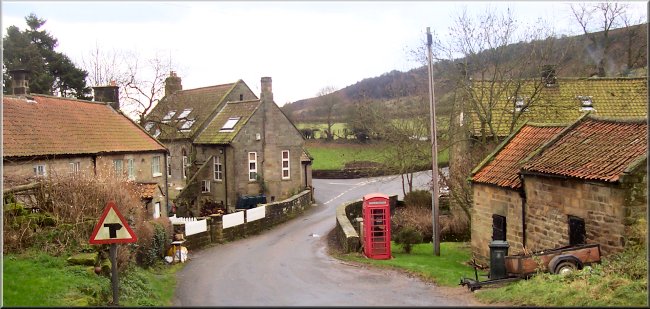
Seasonal holly by the road near Low Mill
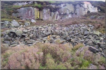
Disused quarry at map ref. SE667942
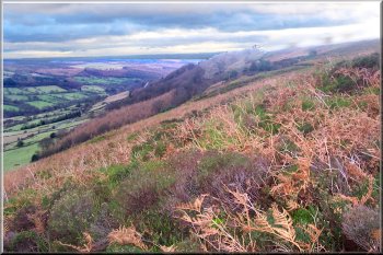
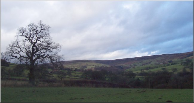
View down Farndale
View down Farndale

Looking up Farndale from the West Gill