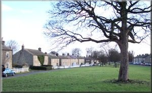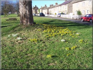
Spring flowers on the village green at East Witton
We managed to make
our way to the edge of the woods and rejoin the proper path. We
dropped down to Gollinglith Foot and turned right along the road
following the river Burn up stream. After a few hundred metres
we found a pleasant spot to sit by the river for our lunch. The
sky was quite black over Wensleydale, and quite bright and sunny
to the south giving us a splendid complete rainbow over the hill
we had just descended. I tried to take a photo of it only to find
that the batteries in my camera had given up the ghost. After
lunch we continued along the road up a short sharp hill to turn
off right onto a bridleway at map ref. SE 143814. We climbed to
rocky eroded track between Slipstone Crags and Brown Beck Crags
to cross the boggy top of Witton moor and drop down to Snowden
Beck Farm. We stayed on the permissive path from Witton moor all
the way back to our starting point at East Witton. The whole route
had been about 14km. and had taken us four and a half hours including
a couple of stops. |
This
morning we drove to East Witton in Wensleydale to meet a group
of friends for our monthly walk together. One couple went to West
Witton (allegedly due to my instructions!!) so it was around 11am
before the mix up was sorted by mobile phone and we could at last
begin our walk. It was quite a bright day with a strong cold wind.
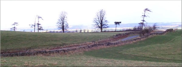
At the eastern end of the village, at map ref SE 144859, we turned
right to follow the lane and then the track to Thirsting Castle
Lodge, where we took the path up the hill through Grey Yaud Plantation
to the road at map ref.SE 166 837. We walked along the road for
about 400m and turned right onto a footpath that runs along the
edge of a wood and then across fields to Gollinglith Foot, a tiny
hamlet about three kilometer away. We were all chatting away and
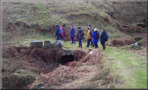
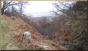
set off into the
wood along a wide grassy track. After about 750m the track crossed
a little valley and turned sharp left. This is not right - we
should be skirting the edge of the wood. We had just followed
the easy track and not kept an eye on the map. 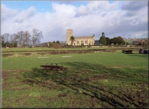
The parish church at East Witton
|