white horse logo

Setting off towards Easterside Hill

Menu:

National Parks

| 2001 walks | 2002 walks | 2003 walks | 2004 walks |
| 2005 walks | 2006 walks | 2007 walks | 2008 walks |
| 2009 walks | 2010 walks | 2011 walks | 2012 walks |
| 2013 walks | 2014 walks | 2015 walks | 2016 walks |
| 2017 walks | 2018 walks | 2019 walks |2020 walks |
| 2021 walks | 1993-2000 library | Find a Route Index |
| A few Routes to print out | Request a Route... |

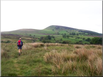
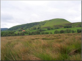
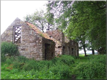
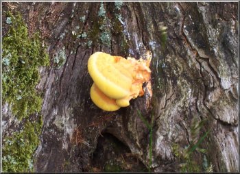
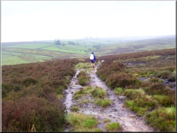
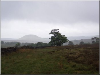
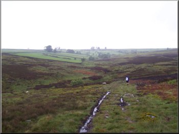
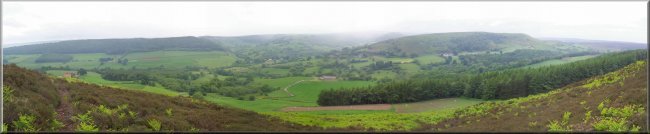
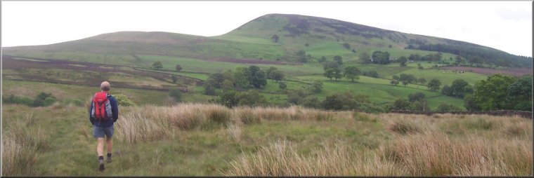
Route No 142 - Wednesday 15 June 2005
Moorgate, Easterside Hill, Hawnby Moor - 12km
North York Moors

Map OS Explorer OL26 North York Moors Western area at 1:25000
Route Map on 'Landranger' map base from OS Open Space service

Setting off towards Easterside Hill
The weather forecast was for rain today so we abandoned our plan for a longer walk in Bilsdale in favour of a shorter route on the moors above Hawnby. We drove out to the little parking area at Moor Gate, map ref. SE 540917 and were ready to start walking by about 9.45am. There was just one other car there with another walker getting ready to set off with his dog. We took a path across some rough pasture to cross the footbridge over Ladhill Beck at map ref. SE 545916. We continued up the hill to the ruined Crow Nest farm and passed above High Banniscue farm. We followed the farm track to the road at map ref. SE 550898, where we turned left to follow the road to Easterside farm. Opposite the farm we turned off the road on to the footpath to the top of Easterside Hill. By now the drizzle had started and there was quite a strong wind. The view from the top over Hawnby Hill and the river Rye was still beautiful in spite of the rain.
We followed the path as it droped dowm the eastern side of the hill and met the walker with his dog that we had seen at the car park. As he approached my friend suddenly recognised him as the walker we had chatted to on our walk in the Yorkshire Wolds on 4 May so we stopped for a moment to comment on the rain. Our path took us round the base of Easterside Hill and we sat with our backs to the wall for some shelter whilst we had a drink and a sandwich. We continued on the path to a track at map ref. SE 547917 and followed the track across the moor for about 2km to map ref. SE 560935. By now the rain was quite heavy with a strong wind driving it into us, not very pleasant at all. We took the left hand fork in the track and and turned left again on to the footpath at map ref. SE 559940.
Hawnby Hill off to our right at the start of our walk

The moors are wild and bleak up here and still have a facination for me even in such awful weather. We followed the path down the slope to cross Ladhill Beck about 2km upstream of the crossing at the start of our walk. We turned on to the track at map ref. SE 546935 and followed it for about 2km back to the car. Today's walk had been about 12km and had taken us 4 hours to walk including one short stop.

Left: Ruins of Crow Nest farm

I couldn't identify this fungus on an old  dead oak stump
I couldn't identify this soft yellow fungus on an old dead oak stump
Moorland track above Ladhill Beck
Looking back to Easterside Hill through the rain
Looking back
through the rain to Easterside Hill
Dropping down to cross Ladhill Beck

View over the river Rye from the top of Easterside Hill
View over Hawnby Hill and the river Rye from the top of Easterside Hill