white horse logo

Looking up Coverdale from the hill above Arkleside

Menu:

National Parks

| 2001 walks | 2002 walks | 2003 walks | 2004 walks |
| 2005 walks | 2006 walks | 2007 walks | 2008 walks |
| 2009 walks | 2010 walks | 2011 walks | 2012 walks |
| 2013 walks | 2014 walks | 2015 walks | 2016 walks |
| 2017 walks | 2018 walks | 2019 walks |2020 walks |
| 2021 walks | 1993-2000 library | Find a Route Index |
| A few Routes to print out | Request a Route... |

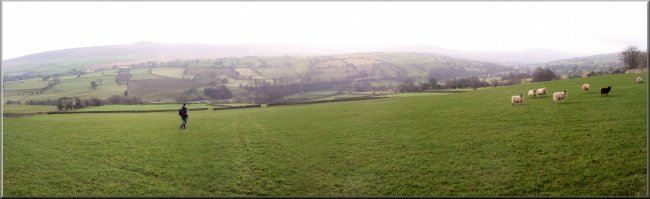
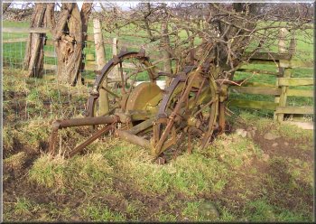
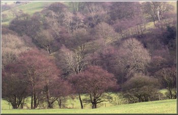
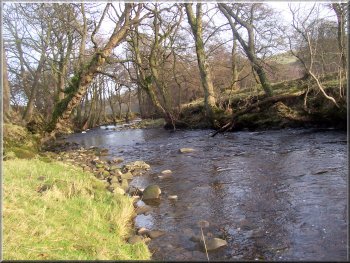
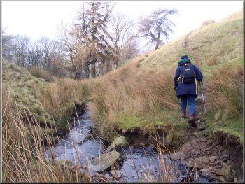
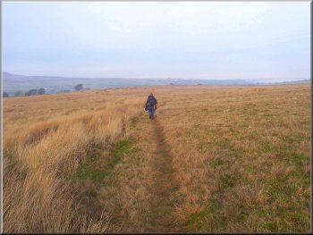
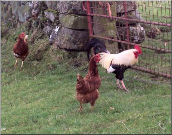
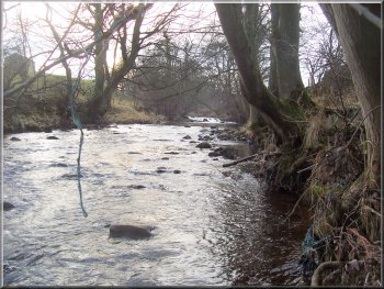
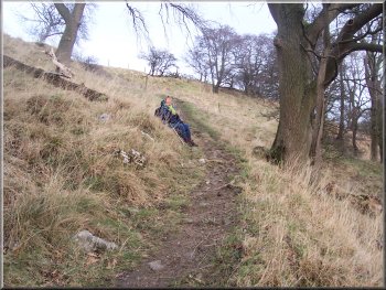
Route No. 165 - Sunday 22 January 2006
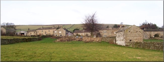
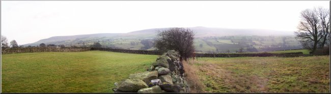
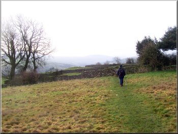
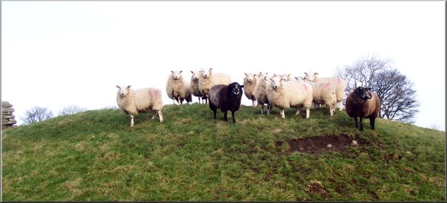
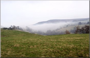
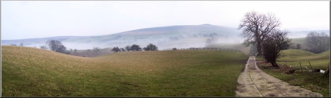
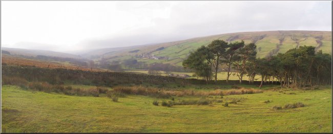
Carlton, Horsehouse, Arkleside,
Swineside, West Scrafton - 13km
Coverdale, Yorkshire Dales . . .

Maps: OS Explorer OL30 Northern & Central areas at 1:25000
Route Map on 'Landranger' base from OS Open Space service

Carlton in Coverdale

This morning we drove to Carlton in Coverdale. There was a thick layer of white mist all the way from home and almost as far as Leyburn, but as we approached the dales market town we ran out of the mist and into bright sunshine. We drove down thw slope from Leyburn to Wensley the valley to our left was filled with the white mist with a few stark winter trees poking through. It was a wonderful sight.

Looking across Coverdale from the fields below Carlton
Crossing the narrow fields below Carlton
Coverdale was mist free and we parked in the sunshine at the village hall (honesty box provided) in Carlton at map ref. SE 069847. We started walking at about 11am up the village street and turned left on to a footpath at map ref. SE 065846 which took us across some narrow fields to a bend in the road at map ref. SE 063844. We Imediately turned off the road on to another path across the fields to meet the road further down the valley side at map ref. SE 064839. We walked along the road for just over 100m to the next bend and took the path off the right hand side of the road to the tiny village of Gammersgill about 1.3km away.

We were observed by a group of wary locals

Heading up Coverdale from Carlton
Ancient farm machinery - I think it's a hay turner
Winter trees waiting for the spring
River Cover near Horsehouse
The church in Horshouse

We walked through the village on the road and turned off right on to the footpath at map ref. SE 054828. The path crossed the fields for about 1km and then followed the river bank until we were opposite the village of Horsehouse where the path turned away from the river and up to the village.

Approaching Horsehouse across the fields

Golden Retriever enjoying a river bath despite the chilly temeratures
Stone lime kiln now used as a dust bin store
Stone lime kiln now used as a dust bin store at Arkleside bridge
Ponies at Arkleside
Ponies at Arkleside
Highland cattle on the climb up from Arkleside

We followed the road through Arkleside to map ref. SE 043803, where we turned left on to a stoney track climbing straight up the valley side for about 1km to map ref. SE 048796. There is a gate across the track here and some sheep handling pens. The track turns right and on the bend a bridleway goes off to the left across the steep little valley of Arkleside Gill. We followed the bridleway for about 2km to Hindlethwaite Gill.

Ponies on the moor above Arkleside

This is another steep little valley which has to be crossed before we continued along the bridleway for another 2km to the tiny village of Swineside. The bridleway bypasses the village and joins a narrow tramac lane which we followed for about 1.5km to West Scrafton.

Left: Ponies on the moor above Arkleside

Below: Crossing Hindlethwaite Gill

Crossing Hindlethwaite Gill

Approaching Swineside across the moor
I love to see hens strutting about - these were in West Scrafton
River Cover at  Cargill foot bridge
River Cover at Cargill foot bridge
Starting the climb up from the Cargill foot bridge
Mist creeping up Coverdale from the Ure
In this village we joined a path at the side of the Methodist Chapel which goes behind a stone cottage and follows a stream down the side of the valley over some glacial terraces to the river Cover at Cargill foot bridge. The mist was starting to fill the valley like a milky white sea and we had only just crossed the river Cover ahead of its advance. We followed the path up the other side of the valley to a track at map ref. SE 072846. The track led us back to the village street in Carlton and we walked along the street back to the car park at the village hall. The whole route had been about 13km and had taken us four and a half hours to walk including a couple of refreshment stops. As we drove home we imediately dropped down into the mist and it was a misty journey all the way back. The mist had not lifted all day in the Vale of York.
Coverdale filling with the evening mist

Background Notes:
This walk is a 13km, 8miles, circuit from the village of Carlton in Coverdale. This is a side valley off Wensleydale running southwest from Middleham for almost 20km towards Kettlewell. We start from the village hall where there is a small car park with an honesty box for the modest parking charge. There is clearly a strong community spirit in Carlton where the local pub, 'The Foresters Arms', was about to close down for good early last year. Public meetings were held and a group of around 80 villagers got together to buy the pub and just before Christmas the new community pub with new tenant opened for business. I'd like to wish them well with this excellent project. From Carlton the walk follows a public footpath across the fields through a great many squeeze stiles in the limestone walls. There are lovely views across Coverdale and both up and down the valley. First we reach the village of Gammersgill and then continue on to the village of Horsehouse. In the past Coverdale was an importent packhorse route from Middleham in Wensleydale through to Kettlewell in Wharfedale and from the top of Park Rash over into Nidderdale. There were two inns in Horsehouse that provided overnight accommodation for pack horse trains of 30 or 40 horses but only one of these remains, that's the Thwaite Arms. The church in Horsehouse is called St. Botolphs founded in 1530. There is a magnificent weeping beech tree in the churchyard that's around 150 years old. From Horse house we cross the River Cover to Arkleside and follow a track straight up the steep hillside with the stream called Arkleside Gill below us on the left. The views along the valley just get better and better as the track climbs up the valley side. In total we climb about 170m, 500feet, to a public bridleway across the moor to our left. The bridleway drops down to cross Arkleside Gill where there used to be a rough rocky crossing point. This has now been replaced with a smart cobbled ford crossing built as a joint project by Otley & Yorkshire Dales branch of the Dry Stone Walling Association and the Yorkshire Dales National Park Authority volunteers. About 1.5km further on the bridleway crosses another watercourse called Hindlethwaite Gill and continues to the hamlet of Swineside. In this remote spot there's a country hotel and we join a mettalled road that takes us into the tiny village of West Scrafton. From this village we drop down the hillside to cross the river Cover on the Cargill footbridge and then follow the track climbing up to Carlton and the end of our walk.

top of page