| 2001 walks | 2002
walks | 2003 walks | 2004
walks |
| 2005 walks | 2006
walks | 2007 walks | 2008
walks |
| 2009 walks | 2010
walks | 2011 walks | 2012 walks |
| 2013 walks | 2014 walks | 2015 walks | 2016 walks |
| 2017 walks | 2018 walks | 2019 walks |2020 walks |
| 2021 walks | 1993-2000 library | Find a Route Index |
| A few Routes to print out | Request a Route... |
Route No 193 - Thursday
7 September 2006
Blubberhouses, Roman Road
Lipersley Ridge, Timble circuit - 12km
Washburn Valley,
Lower Wharfedale
Map: OS
explorer 297 Lower Wharfedale & Washburn Valley
Route
Map on 'Landranger' base from OS Open Space service
Open this route in Google Earth
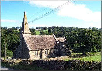
Blubberhouses Church
We
set off up the hill past the church and turned off on
a little track at map ref. SE 167551. Some rather well
to do houses have been created out of old farm buildings
and just beyond the houses we came out on to the moor.
|
This
morning I had arranged to meet a friend in the car park
at Blubberhouses at the head of Fewston reservoir at about
10.00am. We were both a bit early and we were ready to
start walking by 10.
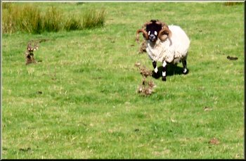
A tupp with a fine pair if horns -
I think its a Dalesbred, not the usual Swaledale that we see here
|
Blubberhouses Church and Blubberhouses Hall
from the start of our climb up the moor
|
|
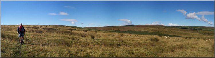
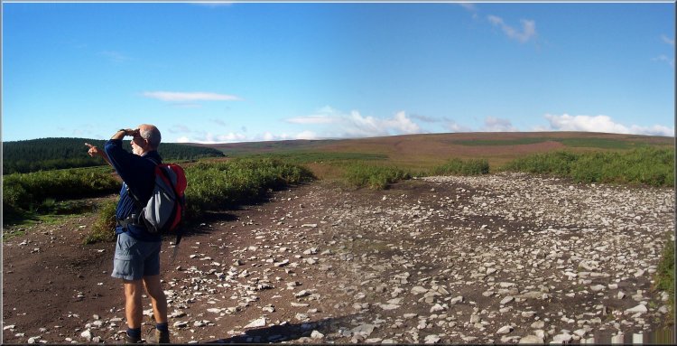
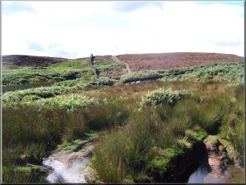
We
followed a well worn path up the moor to the route of
a Roman Road on the ridge at map ref. SE 163544. We followed
the Roman Road for about 3km to map ref SE 139536.
|
 Foundation
of the Roman Road became strew all over the moor after the
top paving was robbed for building ceturies ago.
Foundation
of the Roman Road became strew all over the moor after the
top paving was robbed for building ceturies ago. |
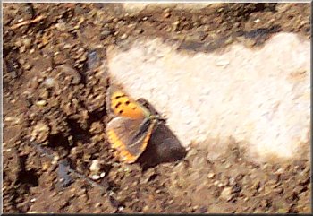
A Small Copper - a pretty little butterfly
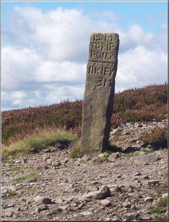
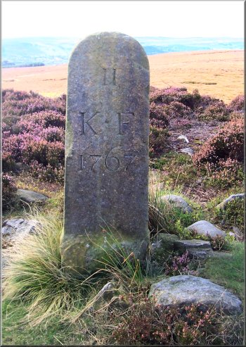
Milestone
on the Ripon to Ikley route
|
From
this high point on the moor we could look back and see
the modern A59 on the hill top next to Menwith Hill base
where a long straight section of the A59 lines up exactly
with the track along the Roman Road.
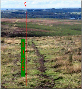
The
modern A59 follows the line of the Roman Road
Looking from the Roman Road to Gawk Hall
Gate
|
|
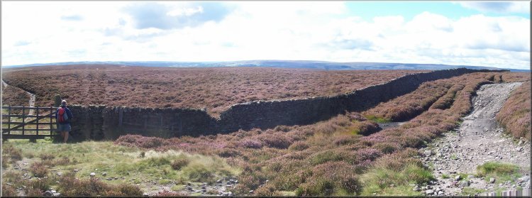
At
this point we left the route of the Roman Road and followed
a well worn path across the moor for about 1km to Gawk
Hall Gate. There are some interesting old marker posts
in this area and just though the gate is an old mile post
showing the distances to Ripon and Ilkley. It was a fine
sunny day and we stopped with our backs to a wall for
a drink and to admire the view.
Start of the path along Lippersley Ridge
|
|
Looking back north east from Gawk Hall Gate
|
Looking over Ilkley from Lippersley Ridge
|
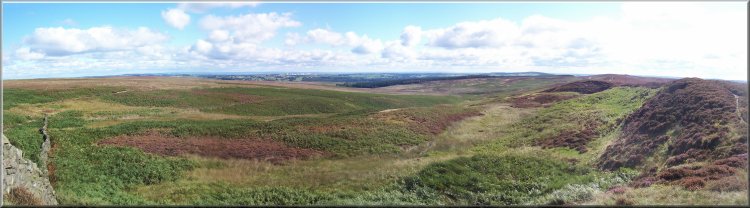
After
our break we set off along a path to Lippersley Ridge.
We had only been walking a few minutes when we noticed
two red kites wheeling through the air above us looking
for things to scavenge. We watched them for a few minutes
until their search took them too far away for us to see.
There is a red kite breeding and release programme based
at Harewood House less than 20km away as the kite flies.
Knaresborough Forest boundary stone
|
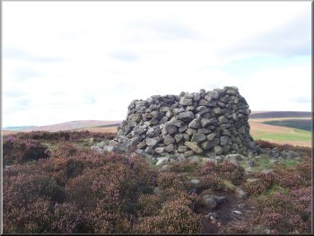
Cairn on Lippersley Ridge
Path
into Timble Ings woods
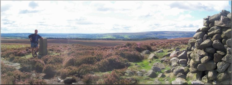
On
Lippersley Ridge we saw an old boundary marker for the
edge of Karesborough Forest, and old royal hunting forest
used by King John when staying (as he often did) at Knaresborough
Castle, so the peasants needed to know where the boundaries
were to keep out.
|
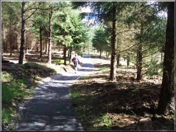
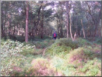
New gravel path through Timble Ings woods
|
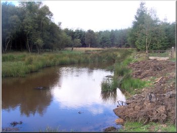
Pond in Timble Ings woods |
|
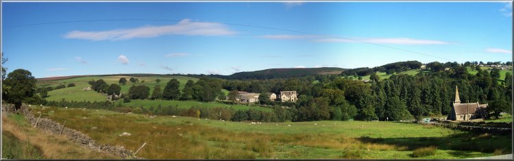
Looking down the Washburn Valley from the
road into Timble |
At
the end of Lippersley Ridge we took the path through woods
from map ref. SE 149526. A new gravel path had been laid
for several hundred metres. We followed the path through
the woods for about 2km to the cross road at map ref.
SE 170530.
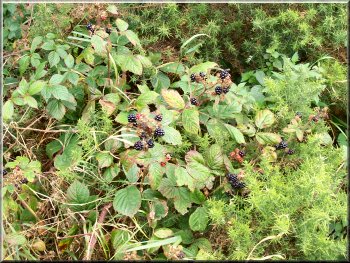
Blackberries - there was a bumper crop of them all along
our route
|
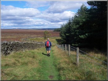
Footpath through Beecroft Moor Plantation
We
went straight across the crossroads and continued into
the village of Timble. At map ref. SE 179529 we turned
left off the road to follow a path across the fields to
a road at map ref. SE 177534. We crossed the road and
took the path through the woods opposite to come out into
the fields by a footbridge at map ref. SE 174540.
|
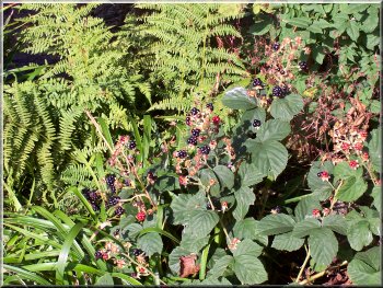
Blackberries - there was a bumper crop of them all along
our route |
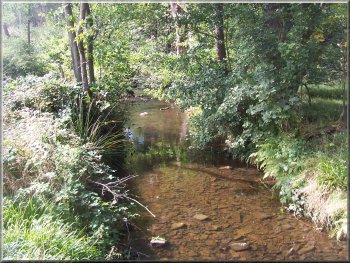
Thackray beck by the footbridge out of the woods |
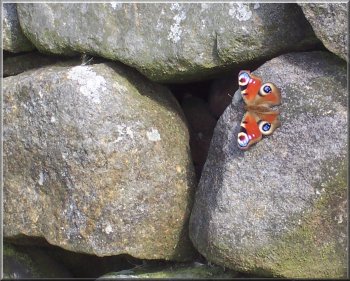
Peacock butterfly |
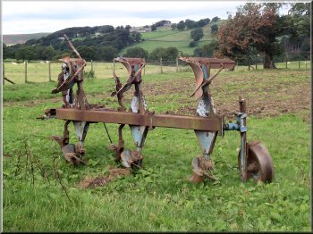
Three bladed plough ready for action at the egde of a field
|
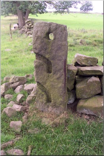
Stone gate post with carved recesses for the poles that
made up the gate |
We
then followed the path across the fields for about 1km
back to the car park. The whole route had been about 12km
and had taken us three and three quarter hours to walk
including our stops.
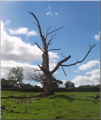
Dead tree above Blubberhouses car park
(I just liked the shape against the sky)
|