| 2001 walks | 2002
walks | 2003 walks | 2004
walks |
| 2005 walks | 2006
walks | 2007 walks | 2008
walks |
| 2009 walks | 2010
walks | 2011 walks | 2012 walks |
| 2013 walks | 2014 walks | 2015 walks | 2016 walks |
| 2017 walks | 2018 walks | 2019 walks |2020 walks |
| 2021 walks | 1993-2000 library | Find a Route Index |
| A few Routes to print out | Request a Route... |
Route No. 201 - Saturday
4 November 2006
Hole-of-Horcum, Maylo Cross, Bridestones
Staindale, Warren Farm
circuit - 17km
North York Moors
Map: OS
Explorer OL27 North York Moors Eastern area at 1:25000
Route
Map on 'Landranger' base from OS Open Space service
Open this route in Google Earth
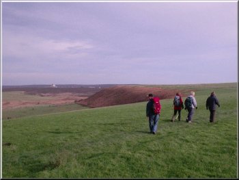
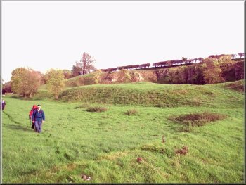
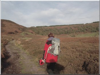
Crossing the hill top toward Maylo Cross |
To-day
my wife and I were invited to a friend's wedding in Wakefield,
so we had to miss to-day's walk. The first Saturday in the
month is my regular date for a walk with a group of friends,
so Pete led a walk for the group from the Hole-of-Horcum
on the Pickering to Whitby road at map ref. SE 852937. They
met at our usual time of about 10.30am and set off on the
path round the edge of the wood and across the hill top
to Maylo Cross at map ref. SE 867949. From the cross they
headed south down the side of the plantation to pass the
little farm at Newgate Foot. Then with Blakey Topping behind
them the group walked across an area of moorland to map
ref. SE 882921. Here they doubled back on a path to the
foot of the wooded bank at map ref. SE 877922. The start
of the path up the bank is quite hard to find. You have
to look out for the gate into the woodland above you across
the stream and trace the line of the path back to find where
to cross the stream (well I do anyway - Pete is a very experience
walker and competitive orienteer so I expect he had no trouble
at all!)
|
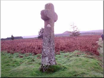
Maylo Cross |
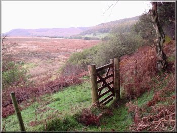
'Landmark' gate into the woods at map ref. SE 877922 above
Crosscliff Beck |
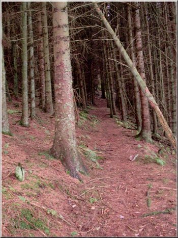
Steep path up the bank through the plantation |
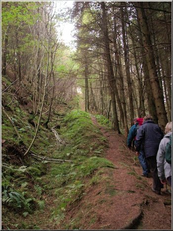
Steep path up the bank through the plantation |
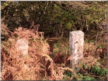
Old stone gate posts at the top of the bank
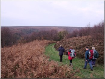
They
turned right off the track at this point to follow a path
through the heather to the Bridestones. These are large
blocks of soft sandstone weathered into odd shapes by
the windblown sand. The stones are on the two ridges either
side of a little valley.
|
Once
through the liitle gate there is a nice, but steep path
up through the plantation to the top of the bank at map
ref. SE 874923. Here they crossed the stoney track and
cut through a short stretch of woodland to join the track
heading along the outside of the plantation until they
reached map ref. SE 876914.
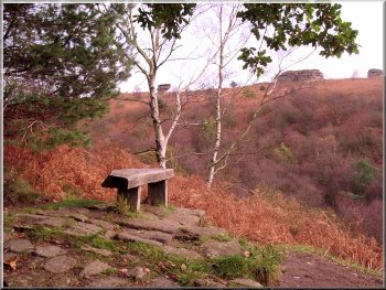
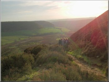
View point at the Bridestones
|
Footpath across the fields from Mount Pleasant to the A169
|
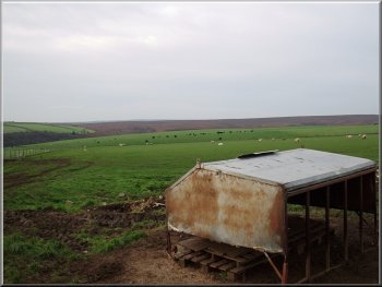
Pasture land between Warren Farm and the Hole-of-Horcum
|
Starting the descent into the Hole-of-Horcum
They crossed the road and took the track to Warren Farm.
Just before the farm they took the path across the fields
to the woods on the edge of the Hole-of-Horcum at map
ref. SE 841920. From here there is a lovely path down
through the woods into the Hole-of-Horcum.
|
The group took the path down the western ridge and dropped
down into Staindale at map ref. SE 872905. They joined
the track at Low Staindale farm and followed the farm
access road for just over 1km to Mount Pleasant at map
ref. SE 855911. Here they left the road and followed the
path over the fields to the main road (A 169) at map ref.
SE 850908.
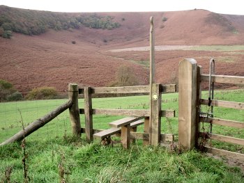
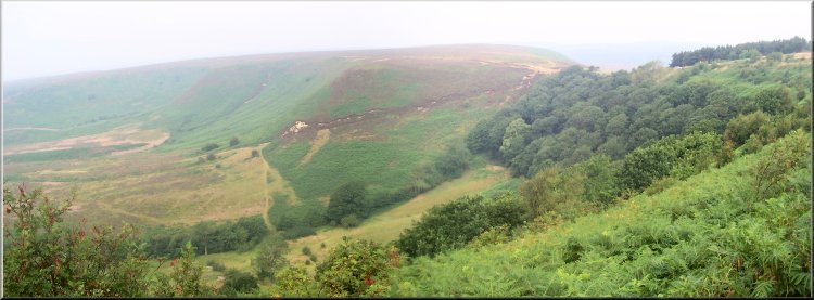
The Hole-of-Horcum
|
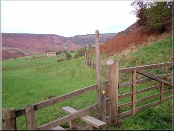
Looking to Low Horcum farm |
Path through the bottom of the Hole-of-Horcum |
Climbing out of the Hole-of-Horcum to the A169
They got back just before a quarter to four in the evening
sunshine. The whole route had been about 17km and had
taken five and a quarter hours to walk including their
lunch breaks. All the photo's of this walk are Pete's
and he retains the copyright.
|
They followed the path through the Hole-of-Horcum to the
hairpin bend on the main road at map ref. SE 849940 and
followed the road the few hundred metres back to the car
park.
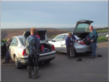
Back at the Hole-of-Horcum car park
|