| 2001 walks | 2002
walks | 2003 walks | 2004
walks |
| 2005 walks | 2006
walks | 2007 walks | 2008
walks |
| 2009 walks | 2010
walks | 2011 walks | 2012 walks |
| 2013 walks | 2014 walks | 2015 walks | 2016 walks |
| 2017 walks | 2018 walks |1993-2000 library | Find a Route |
| A few Routes to print out | Request a Route... |
Route No. 228 Tuesday -
2 October 2007
Bolderwood, The Eagle Oak,
The Knightwood Oak, circuit - 10.5 km
The New Forest,
Hampshire . . .
Map:
OS Explorer OL22 New Forest at 1:25000
Route
Map on 'Landranger' base map from OS Open Space service
Open this route in Google Earth
| Saturday | Monday
| Tuesday | Wednesday
| Thursday |
| New Forest Index |
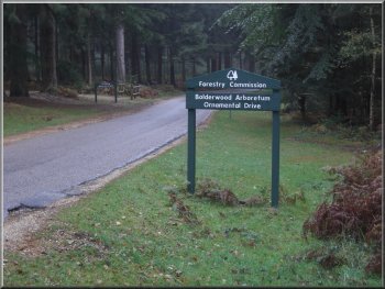
Start of the Bolderwood Arboretum Ornamental Drive
We
walked to the viewing platform at the western end of the
car park overlooking the deer sanctuary, but there were
no deer to be seen. I believe the best time to see them
is early morning or late evening when the deer are provided
with extra feed in the winter.
|
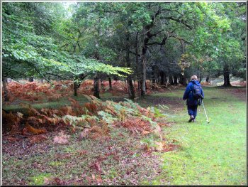
Today
we drove to the car park at Bolderwood again. Our little
walk from here on Saturday tempted us to try a longer
route from the same starting point, map ref. SU243086.
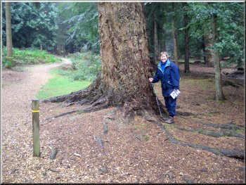
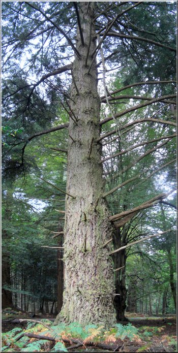
One of many large spruce trees in this part of the New
Forest
|
Path down the slope by the deer sanctuary at Bolderwood
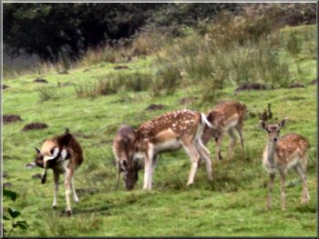
I
approached very quietly and the deer took no notice of
me so I was able to get a photo of them.
|
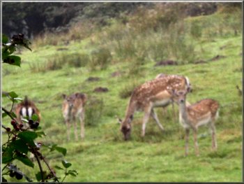
We
continued down the slope for about 600m and on our left
my wife spotted some fallow deer grazing an area well
screened from the viewing platform by a high bank.
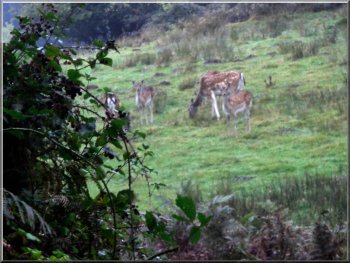
Fallow deer grazing on the edge of the Bolderwood deer
sanctuary
|
Fallow deer grazing on the edge of the Bolderwood deer sanctuary
|
Fallow deer grazing on the edge of the Bolderwood deer sanctuary
|
Roe deer browsing by the track near Bolderwood
We
followed this track as it wound its way through the woodland
for about 2 km to map ref. SU243064. Here we followed
the track round to the left and we continued for about
another kilometre to map ref. SU 252062.
|
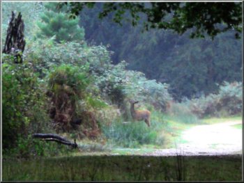
At
the bottom of the slope we came to a forest track at map
ref. SU238081where we turned left to follow this track.
On our right some distance along the track we spotted
a roe deer browsing at the edge of the track.
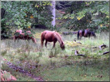
Ponies grazing by the path near Bolderwood
|
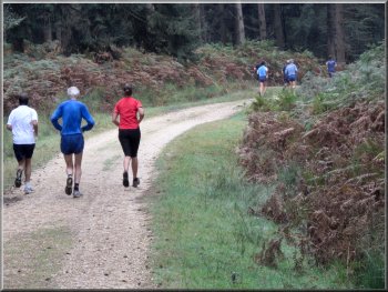
I felt even slower after this group of joggers sped by |
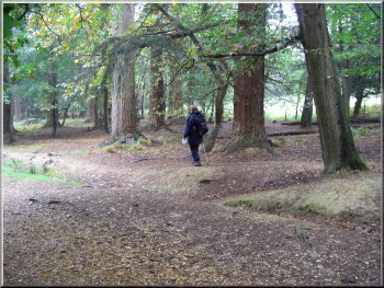
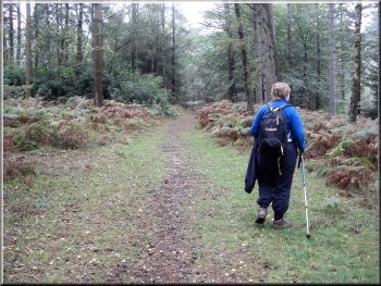
Heading through the woods to the Eagle Oak |
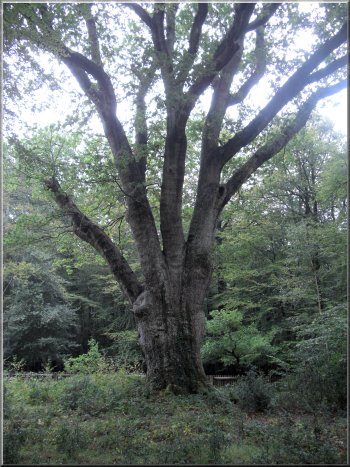
At
this junction in the forest tracks we turned right for
about 200m, then turned left for about 400m, then left
for about 100m to map ref. SU256061 to the "Eagle
Oak". Apparently someone shot a sea eagle from the
oak's branches in the early 1800's. The tree has a girth
of over 5.5m so must be over 350 years old
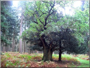
The Eagle Oak
|
The Eagle Oak |
Heading for the Knightwood Oak
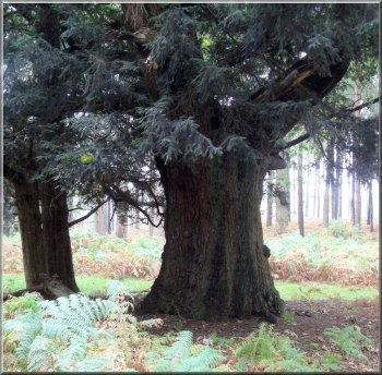
We followed the path to the Knightwood Oak at map ref.
SU266065 and sat on a bench to admire this ancient tree
and have some lunch.
The tree has a girth of around 7.5m and is said to be
over 600 years old.
|
From
the Eagle Oak we made our way along forest tracks for
about a kilometre to the car park at map ref. SU 263063
on the Bolderwood Arboretum Ornamental Drive. At the car
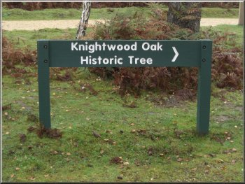
park there is a sign post to the "Knightwood Oak"
about 200m away.
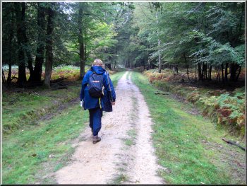
Heading
for the Knightwood Oak
|
The
information board by the tree explains that the shape
of the tree is the result of pollarding when the tree
was young, but it goes on to say that pollarding was made
illegal in 1698 because it spoiled the shape of the tree
for shipbuilding.
The Knightwood Oak - about 600 years old
|
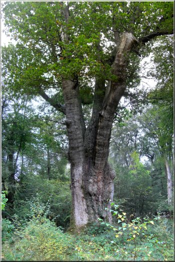
The Knightwood Oak - about 600 years old
Almost
all the large straight oaks in the country were cut down
for building both naval and trading ships until iron ships
began to take over in the nineteenth century.
|
A huge spruce tree |
From
the Knightwood Oak we followed the fence to the north
west for about 250m to the path at map ref. SU264068.
We continued along this path for about a kilometre to
the road at map ref. SU264078. We crossed the road and
continued on the path opposite for about 1.5 km to map
ref. SU254085. At this 'T'-junction in the forest tracks
we turned left and followed the track for about 1.3 km
to map ref. SU247087. Here we turned left off the track
to follow a path up a firebreak to rejoin the track just
before the road back at the Bolderwood car park.
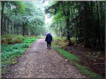
Woodland path back to Bolderwood car park
Woodland
path back to Bolderwood car park
|
|
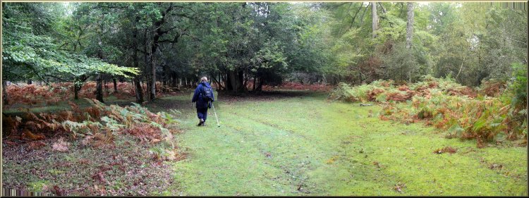
Woodland path back to Bolderwood car park
The
whole route had been 10.5 km and had taken us through
some lovely woodland and to the Knightwood Oak, one of
the oldest trees in the New Forest. The route was taken
from the book called "Mike Power's Walks in the New
Forest"
|