|
|
Just
over a year ago my wife and I spent a wet week in Grassmere
in the Lake District with my son and his family.
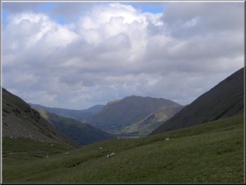
Looking towards Ullswater from the Kirstone pass
|
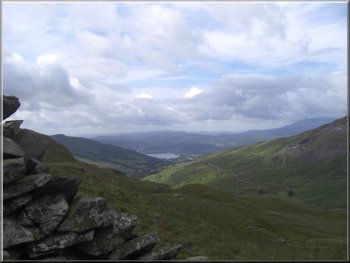
Looking towards lake Windermere from the Kirstone pass
It's
also a good chance for me to continue my build up after
being unable to do a decent walk for so long.
|
The
weather forcast for today was good so my son suggested
that we have a day out together and do the walk again
- this time to see the views.
Looking towards Ulswater from the Kirstone pass
|
Path snaking it's way up to St Raven's Edge
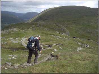
Dropping down from St Raven's Edge towards Caudale Moor
|
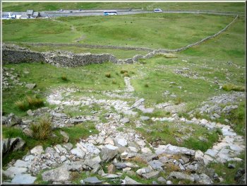
We
made an early start and parked in the car park at the
top of the Kirkstone Pass at about 9.20am. We got our
boots on and started walking just after 9.30. The first
500m from the car park are very steep and climb about
250 metres on a rocky path onto St. Raven's Edge.
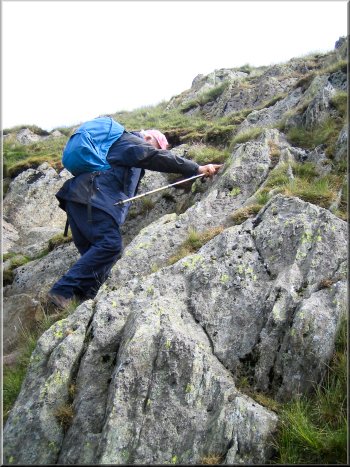
Climbing the rocky path up to St Raven's Edge
|
|
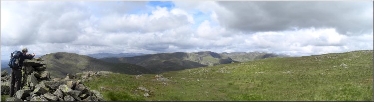
Looking from St Raven's Edge to High Street and Ill Bell
|
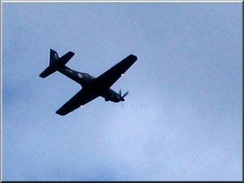
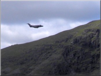
RAF trainer buzzing Kirkstone Pass
Kirkstone
pass is often used for military training flights and the
aircraft fly very low between the hills and we saw an
RAF trainer fly below us over the pass.
|
The
views improved all the way up and on top of St. Raven's
Edge we had superb views South over Lake Windermere and
North to Ullswater.
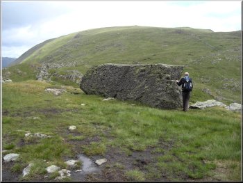
A glacial erratic boulder? - a bit too angular?
|
He
was the curate in Ambleside in the mid 1600's and walked
these fells where the boundary of his parish ran - indeed
it is still a parish boundary today.
|
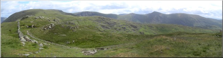
From
St. Raven's Edge we dropped down almost 100m to a little
col before starting to climb up again for 1km. to Caudale
Moor. This is also known as John Bell's Banner or boundary.
|
|
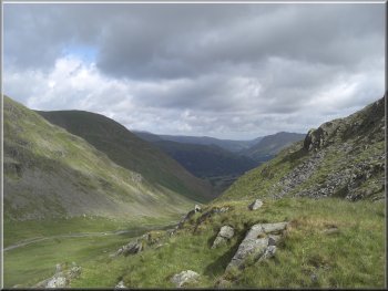
Looking towards Helvellyn from Pike How on the climb to
Caudale Moor |
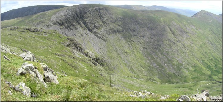
Looking from our lunch stop at Stoney Cove Pike across to
Park Fell Head with a drop of about 250m to the Trout Beck
below us in the valley |
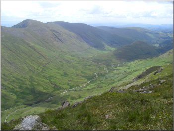
Looking down Trout Beck valley from Stoney Cove Pike
We
sat there for our lunch and whilst we were eating my son
noticed some movement on the valley floor far below us.
It was a deer and I managed to get a rather fuzzy photo
of it. I was quite surprised that my camera could do it!
|
Caudale
Moor is really just the wide, flatish top of Stoney Cove
Pike. There is a large cairn at the Pike and we found
a good spot on some flat rock nearby looking down the
valley of Trout Beck.
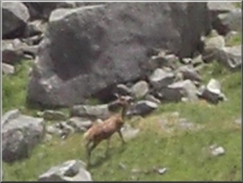
The fuzzy shape of a deer grazing by Trout Beck about
250m below us
|
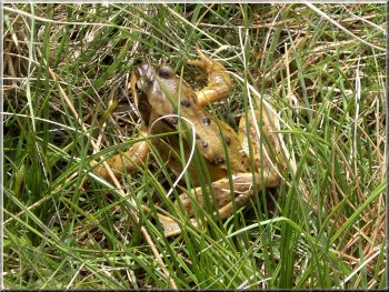
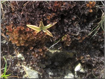
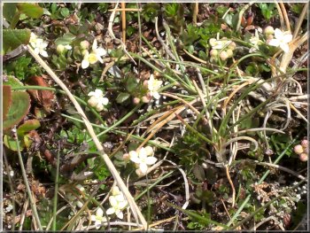
A frog near the tarns on Caudale Moor
Just
before we rejoined the route up we came to a large cairn
with a cross in the top. This is a memorial to Mark Atkinson
who was the publican at the Kirkstone Inn during and after
the first world war.
|
After
our lunch, quite a long leisurely one admiring the scenery,
we walked around the summit plateau to see the view in
every direction.
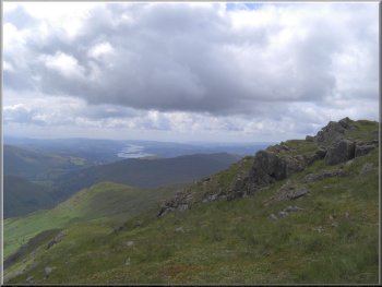
Looking down to lake Windermere from Stoney Cove Pike
|
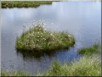
Island of cotton
grass in a tarn on Caudale Moor |
|
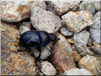
A dung beetle - where would we be without them?
It
had taken us four and a half hours including our many
stops to look at things along the way and to have our
lunch. The weather conditions had been ideal for walking
- a very pleasant day out.
|
From
there we reftraced our steps back to the Kirkstone Pass
car park. The round trip had been about 8km with over
500m of climbing including the col between St. Raven's
Edge and Caudale Moor.
Military training flight skimming Kirkstone Pass
|
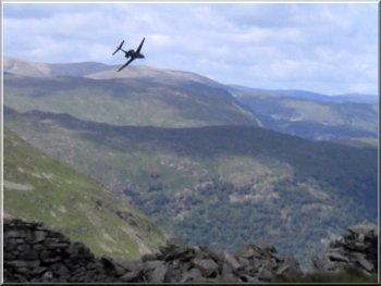
Military training flight skimming Kirkstone Pass |
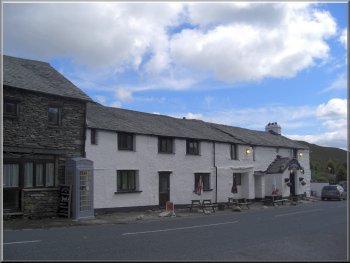
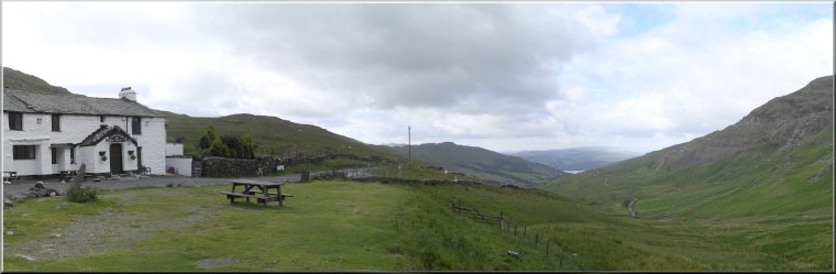
Back at the Kirkstone Inn |