|
Leaving Pickering along Ruffa Lane
I parked in the 'pay-and-display' car park by the roundabout at the
junction of the A169 and the A170. Much of my walk today would follow
the boundary of the North York Moors National Park.
|
This morning I drove to Pickering, mainly because I could get there
on main roads via York and Malton and avoid the minor roads which are
still very icy after the recent snowfall.
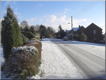
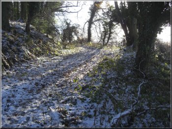
The lane heading east out of Pickering
|
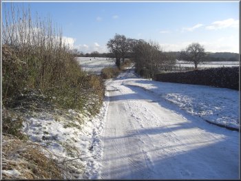
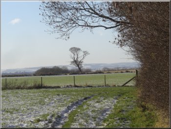
Path across farmland towards Howl Dale
|
|
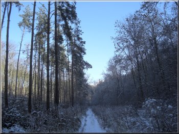
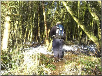
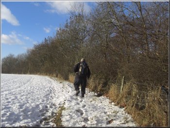
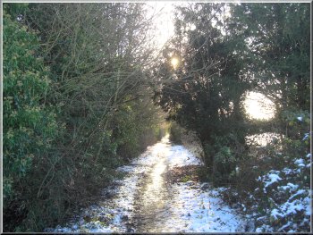
Path through the woods in Howl Dale
After a few hundred metres the track ended at map ref. SE812836. There
was a stile to continued along a path between fences at the edge of
a field. At the end of the field the path turned left around the edge
of the field and entered the woods in Howl Dale at map ref. SE815836.
|
From the car park I took the A169 towards Whitby for about 100m to
Ruffa Lane on the left. I walked along Ruffa Lane for just over 1km
until the houses came to an end and the track continued between the
fields.
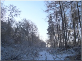
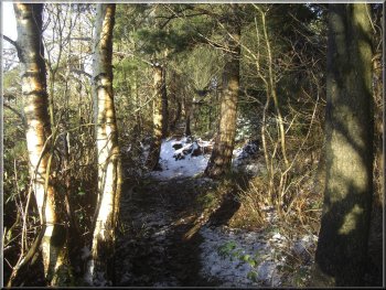
Path through the woods in Howl Dale
|
Path through the woods in Howl Dale
|
|
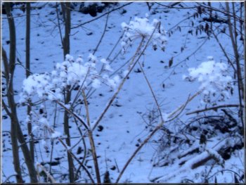
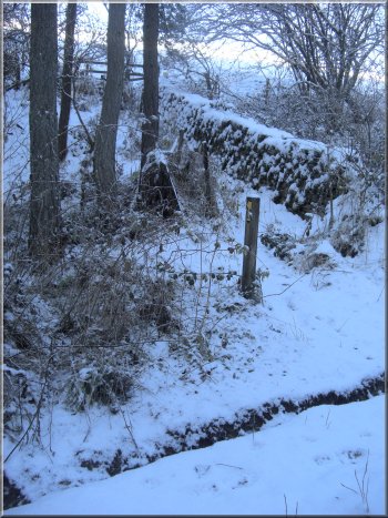
The seed heads of giant hogweed covered in snow
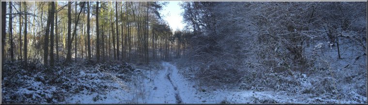
Every so often the ice would break through into the water below. I
followed this track along the bottom of Howl Dale for over 2km to map
ref. SE828849.
|
The track along Howl Dale was full with water filled ruts covered with
ice and a layer of snow. It was rough and awkward underfoot.
Path through the woods in Howl Dale
|
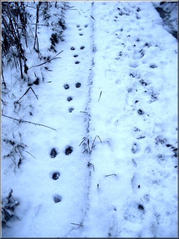
Rabbit tracks coming towards the camera
|
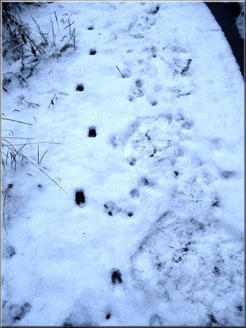
Deer tracks heading towards the camera
|
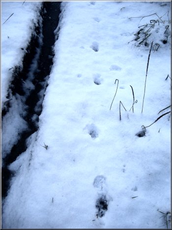
Fox tracks heading away from the camera
|
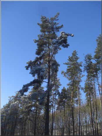
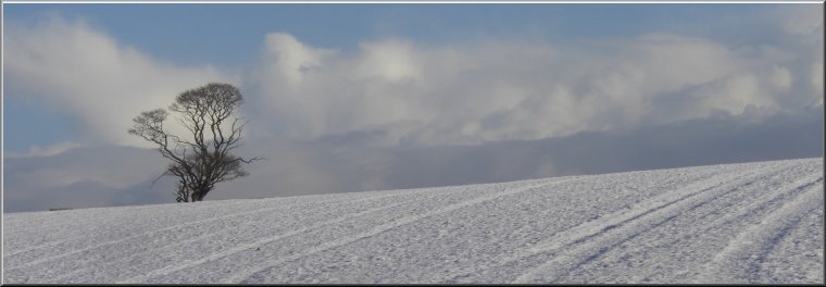
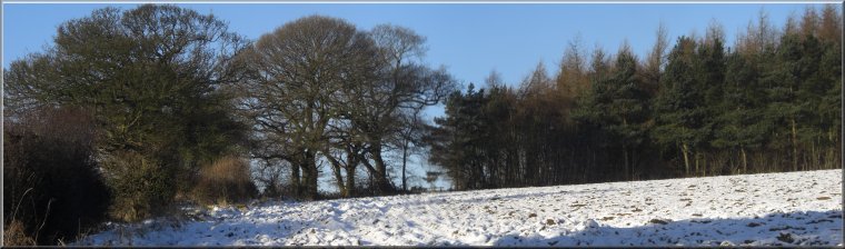
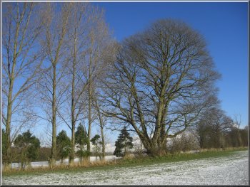
Scots pine against the clear blue sky
|
|
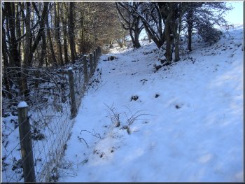
Here I turned left to follow a path up the side of
the valley along a field edge. After crossing another field I came to
a small wood and the path led me through it to the A169 at map ref.
SE823855.
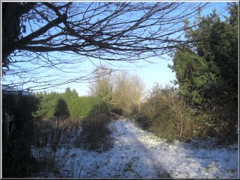
The track up out of Howl Dale
|
The track up out of Howl Dale
Looking back down the track out of Howl Dale
|
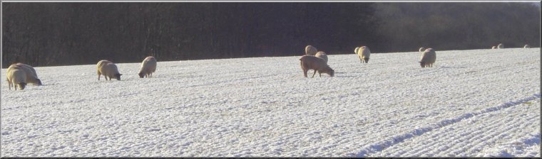
Sheep picking a living from below the snow |
Heading for a small wood near the A169 |
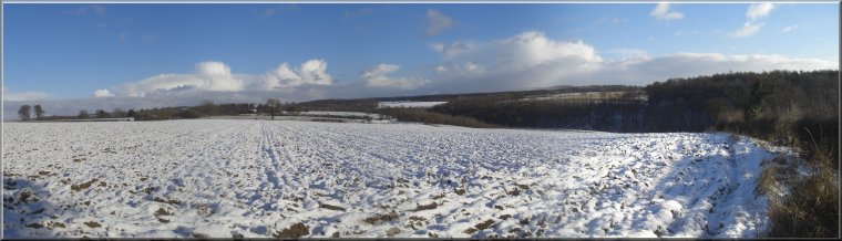
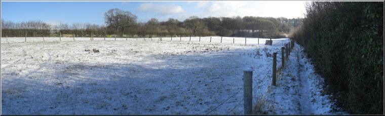
Looking east across Howl Dale |
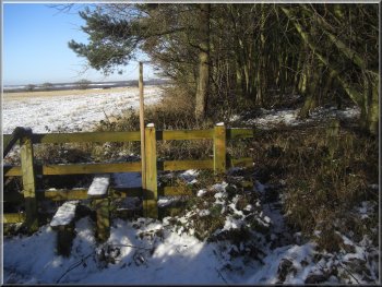
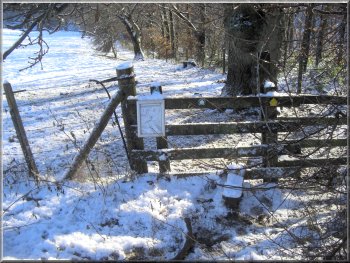
Stile on the National Park boundary |
Small wood by the A169 on the National Park boundary |
|
Small wood by the A169 on the National Park boundary
I turned left in the wood to follow a path in the fields along the
top edge of the woods above the valley of Pickering Beck.
|
I crossed the road by the North York Moors National Park Boundary
sign and continued down the side of a field to Little Park Wood.
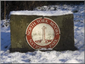
National Park boundary marker on the A169
|
|
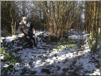
My lunch stop on a convenient wall
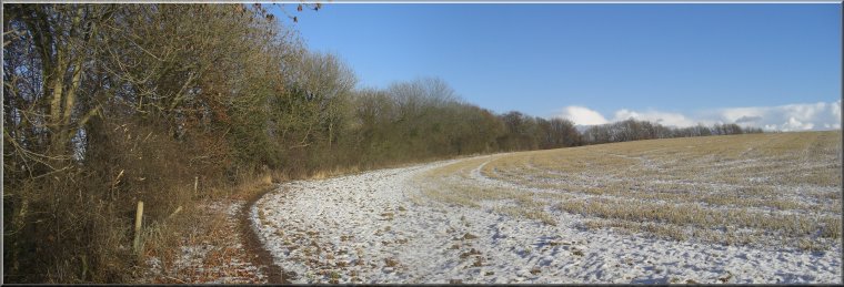
Path around the top edge of Little Park Wood
|
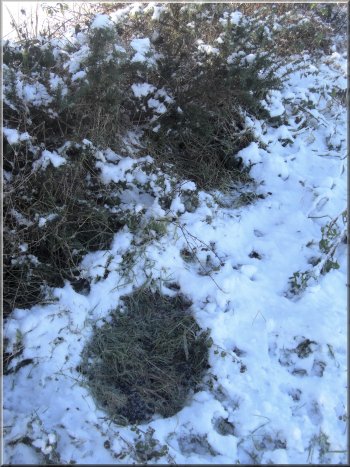
Sheltered spot under a hedge where two deer rested safe from the bad weather.
There were plenty of droppings to confirm their identity |
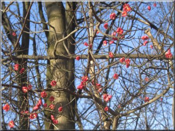
Beautiful pink fruits of the Spindle Tree . . . |
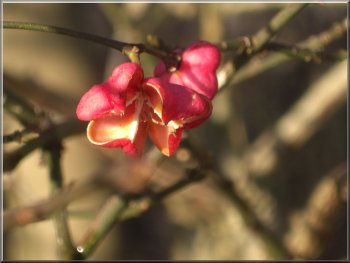
. . . they split open revealing yellow seeds which are soon eaten by birds |
Heading back to Pickering around the top edge of the woods |
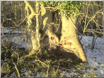
The hollow bowl of an old ash tree |
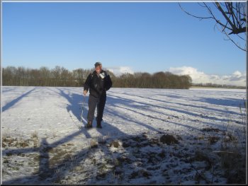
The path leaves the edge of the woods here to cross the field heading
towards Pickering |
|
About to join the track into Pickering
This track leads into a housing estate on the edge of Pickering and
continues in a straight line through the estate to the A169 at map ref.
SE801843.
|
After about 2km, at map ref. SE803851, the path turns south away from
the woods to cross the field and join a track called Lowe Lane.
Winter trees against the blue sky - every season has its own magic
|
|
Lowe Lane - track into Pickering
I had just enough time to drive home and collect my grand daughter
from her nursery. It had been a very pleasant walk in the snow on a
bright clear winter's day.
|
From there I walked along the A169, back down the hill to the car park
where I had started. The whole route had been about 9km and had taken
me three and a half hours to walk including a stop for a drink and a
sandwich.
Lowe Lane heading back into Pickering
|