|
Moorings by the flats near Skeldergate Bridge
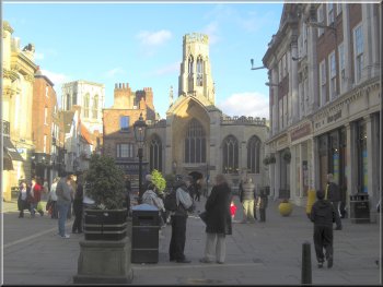
We used her office parking spot to park near the city centre and walked
past Cliford's tower to St Georges Field car park.
|
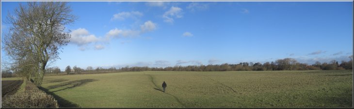
This morning was fine and bright and my wife wanted a flat walk where
she could "stride-out" so we decided to drive into York
River Foss flood barrier
|
|
Footbridge over the River Foss as it joins the River Ouse
There were lots of strollers, joggers and cyclists enjoying the morning
sunshine by the river as we walked the 1.5km down river to the Millennium
Footbridge at map ref. SE603495.
|
From the car park we crossed onto the river side path heading downstream
on the east bank of the River Ouse.
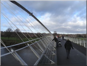
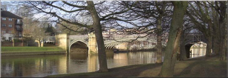
The Millennium Footbridge over the River Ouse
|
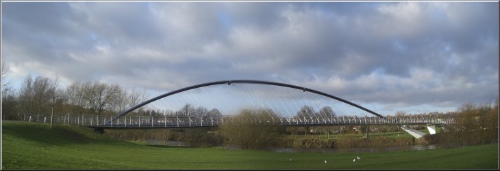
The Millennium Footbridge over the River Ouse |
|
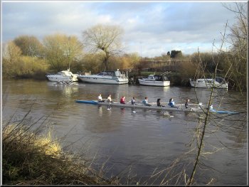
A ladies eight on the river
Here the path has followed the river bank through a slow right angle
turn and just before the stile at the field boundary we turned right
to follow a path diagonally across the large field cutting off the corner
and rejoining the riverside path at map ref. SE605490.
|
We crossed the river on the footbridge and continued downstream on
the footpath along the west bank. We followed the path across the fields
along the low floodbank for about another kilometre to map ref. SE605485.
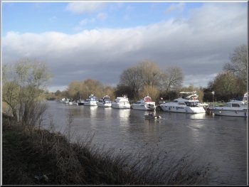
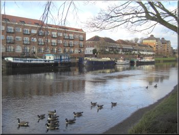
Moorings on the River Ouse
|
Starting back across the field to rejoin the riverside path |
|
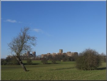
The old Terry's Chocolate Factory
We walked past the lake and the children's playground, and rejoined
the riverside path. We continued along the riverside to Skeldergate
Bridge, where the path led us under the bridge and into the street called
Skeldergate.
|
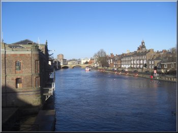
We walked along the riverbank back towards the centre of York, past
the Millennium Footbridge and up to Rowantree park where there is a
cafe and public toilets. We turned off the riverside path to make a
very pleasant diversion through the park.
Looking upstream from Skeldergate Bridge
|
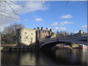
Skeldergate Bridge |
|
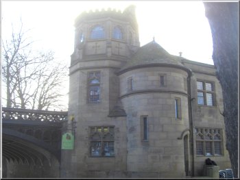
Cafe in the tower on Skeldergate Bridge
Just at the start of the bridge we turned left off the bridge to go
along a walkway between the buildings and the river.
|
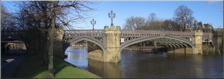
We walked along Skeldergate to the traffic lights at the far end where
we turned right to Ouse Bridge.
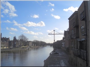
Looking downstream from Ouse Bridge
|
|
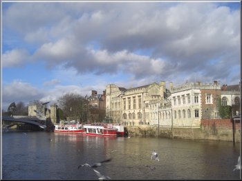
The Guild Hall across the river near Lendle Bridge
From there we continued on the same side of the river to the next bridge.
|
The walkway led us to the next bridge upstream called Lendle Bridge.
Lendle Tower at the end of Lendle Bridge
|
|
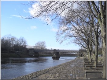
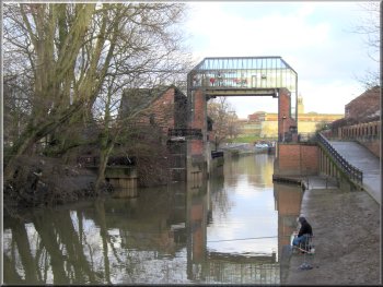
Railway bridge and footbridge over the R Ouse
We crossed the river here, map ref. SE596520, and made our way back
down the other side of the river.
|
This is a railway bridge with a footbridge attached on the downstream
side of the bridge.
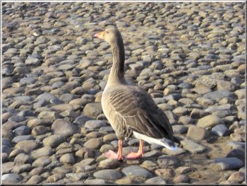
One of many grey-lag geese on the riverside
|
|
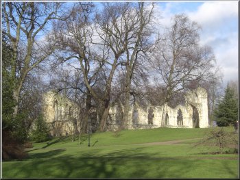
Ruins of St. Mary's Abbey in the Museum Gardens
We crossed Museum Street (A1036) and walked along Lendle and then along
Coney Street and Spurriergate (it's all one continuous street really),
to Low Ousegate. Here we turned right to Ouse Bridge.
|
Afre about 250m we came to a gate in the railings into the Museum
Gardens at map ref. SE598520. We walked through the Museum Gardens to
the exit opposite a street called Lendle at map ref. SE600520.
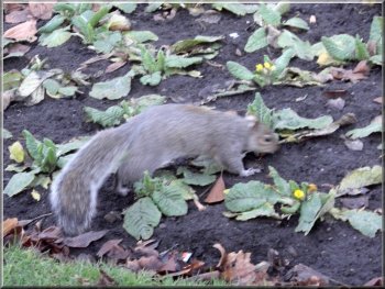
A squirrel in the Museum Gardens
|
|
Looking across St Helen's Square from Coney St.
It had been a very pleasant walk of about 8.5km in the winter sunshine,
and there were plenty of cafes in York for a break at the start, middle
and end of the walk.
|
At the bridge we turned left off the road to descend some stone steps
to the cobbled riverside. We walked along the riverside path back to
the start of our walk at Skeldergate Bridge and the car park at St George's
Field.
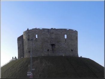
Cliford's Tower
|