| 2001 walks | 2002
walks | 2003 walks | 2004
walks |
| 2005 walks | 2006
walks | 2007 walks | 2008
walks |
| 2009 walks | 2010
walks | 2011 walks | 2012 walks |
| 2013 walks | 2014 walks | 2015 walks | 2016 walks |
| 2017 walks | 2018 walks | 2019 walks |2020 walks |
| 2021 walks | 1993-2000 library | Find a Route Index |
| A few Routes to print out | Request a Route... |
Route No. 304 - Saturday 1 August 2009
(Also walked Thursday 30 July 2009)
Whitby, Gnipe Howe(nr. Hawsker),
Cleveland Way, Saltwick Bay circuit - 12km
North York Moors. . .
Ordnance Survey route map on
the Landranger series map base.
View the route in Google Earth
Map: Ordnance Survey Explorer OL27 North York Moors Eastern area at 1:25000
|
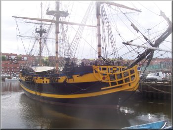
Full size replica of the man'o war, "The Grand Turk"
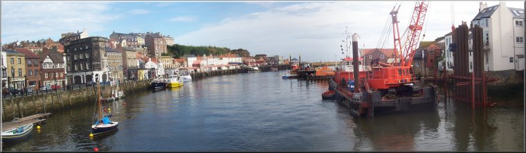
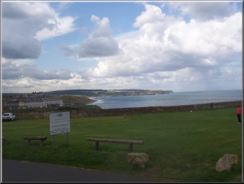
Today we met at the visitor centre in the town at map ref. NZ899108
at about 10.15 am.We set off past the "Grand
Turk" full size replica of the sailing ship moored in the harbour.
|
This morning my wife and I drove to Whitby to meet a group of friends
for our regular monthly walk. I had checked the route out on my own
on the previous Thusday, 30 July when the weather early in the day was
very pleasant.
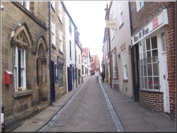
Cobbled Whitby street leading to the Abbey Steps
|
|
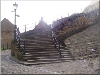
The start of the Abbey Steps
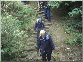
Over the bridge we turned left up a cobbled side street leading to
the foot of the Abbey Steps at map ref. NZ900113. We climbed the steps,
all 199 of them. They are numbered with a little round metal plaque
on every tenth step.
|
The weather forecast was poor but there seemed to be a chance of missing
the worst of the rain passing across the country today. We crossed the
bridge over the harbour (River Esk).
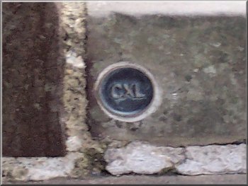
Step number 140 (CXL)
|
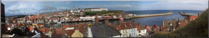
Looking across Whitby harbour from about half way up the Abbey Steps |
|
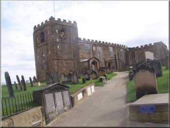
Whitby Parish Church, St Mary's
Just beyond the church is the entrance to the ruins of Whitby Abbey,
which are surrounded by a high stone wall.
|
At the top of the steps is the Whitby parish church, St Mary's. If
you know where to look there are the graves of two pirates with the
skull & crossed bones carved on the head stones.
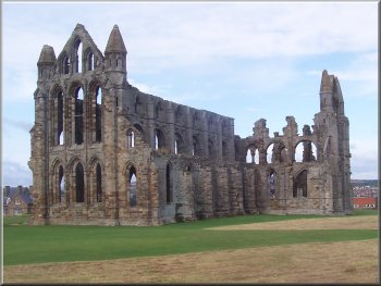
The ruins of Whitby Abbey
|
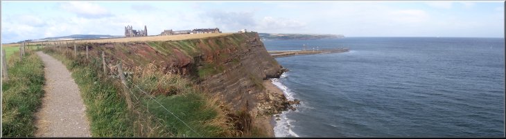
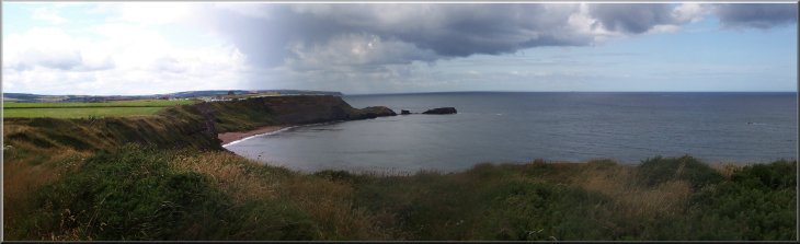
Looking back to Whitby Abbey from the Cleveland Way cliff top path |
|
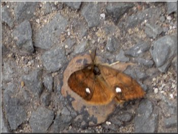
Male Vapourer, day-flying moth
Looking inland from the track at Brook House
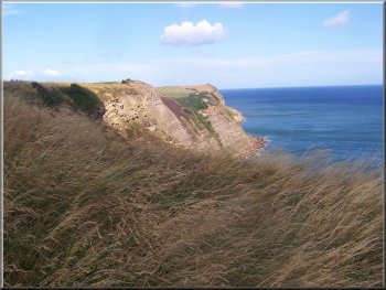
We continued along the cliff path for about 1.5km to the caravan site
at Saltwick Bay. Saltwick Bay was the site of the wreck of the Rohilla
in 1914, a hospital ship caught in a terrible storm.
|
We followed the footpath around the outside of the wall for about 200m
to map ref. NZ903112. Here we turned left off the road to follow the
Cleveland Way path down a short farm access road and out to the cliff
top.
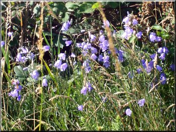
Harebells by the path
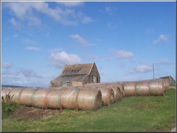
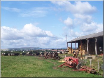
Straw bales by an old barn at Ling Hill Farm
|
|
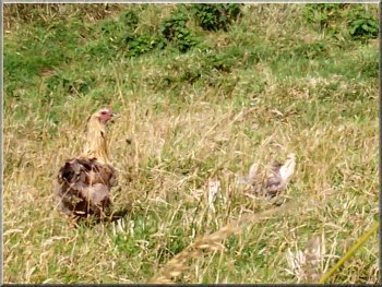
Hen with a well camouflaged brood in the grass
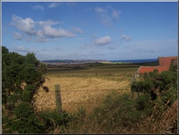
Looking NW from Ling Hill Farm
Here we turned on to the access road first to Brook House, and then
after about 1.3km to a series of buildings and Ling Hill Farm.
|
We left the Cleveland Way here and walked along the caravan site access
road to a public road at map ref. NZ913102. We followed the road for
about 250m to a farm access road on the left.
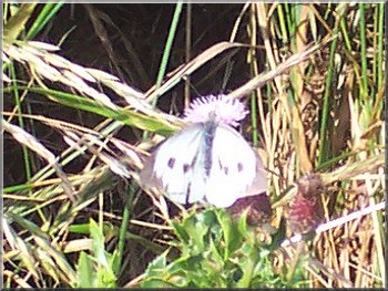
Female large white butterfly - the male has no spots
Looking back to the coast from the path to Beacon Hill
|
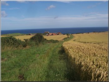
Looking inland from the track to Gnipe Howe farm |
|
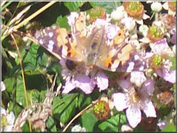
Painted Lady butterfly on some blackberry flowers
We turned left here on to a farm track which we followed for about
1.5km to Gnipe Howe farm at map ref. NZ933084.
|
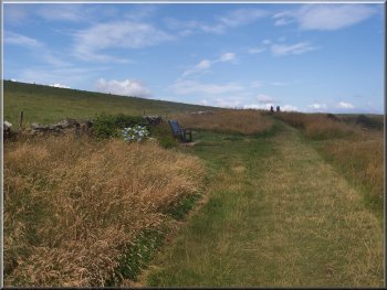
At Ling Hill Farm we turned right off the access road to follow a path
across the fields to Beacon Hill and Whitby Laithes farm at map ref.
NZ925095.
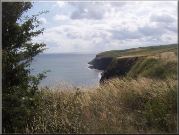
The Cleveland Way path below Gnipe Howe
|
Looking NW along the Cleveland Way path from the bank below Gnipe Howe |
|
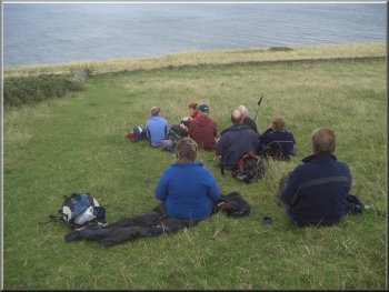
Our lunch stop on the bank below Gnipe Howe
Cliffs from the Cleveland way path
Cleveland Way path crossing a gulley
So far the weather had kept fine but as we were finishing our break
a shower caught up with us and we had to get the wet weather gear out.
After just a few minutes the rain stopped and there was no more until
had returned to Whitby.
|
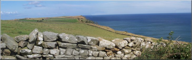
At the farm we took a path across the field and down the slope to the
Cleveland Way coastal path on the cliff top at map ref. NZ936086. There
is a steep bank down to the Cleveland Way and we sat on the bank with
a pleasant view over the sea to have our lunch.
Cliffs from the Cleveland way path
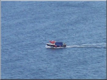
One of the many small boats moving along the coast
Cleveland Way path crossing a gulley
|
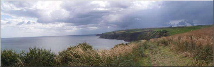
Looking SE along the Cleveland Way cliff top path |
|
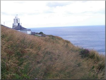
Whitby Lighthouse
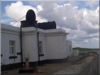
The old Whitby Fog Horn
and a few yards further on, the old fog-horn
building. They're all holiday cottages now.
|
We followed the Cleveland Way along the cliff top to the lighthouse
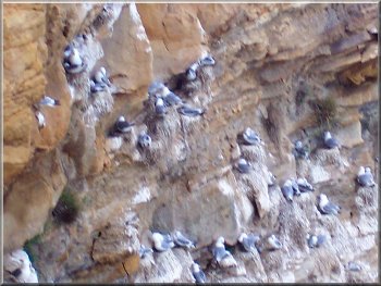
Kittiwake colony on the cliff near the lighthouse
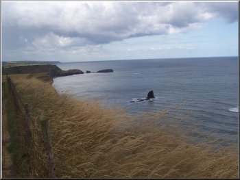
Approaching Saltwick Bay
|
Saltwick Bay, scene of the wreck of the hospital ship, Rohilla, in 1914
|
|
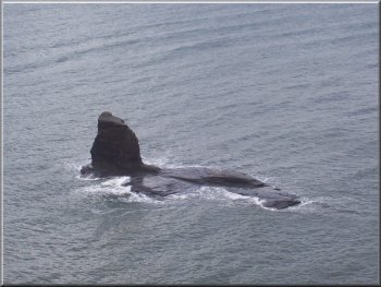
Rocky outcrop in Saltwick Bay
Looking NW from Whitby Abbey
We bought some Whitby kippers and a side of smoked salmon - absolutely
delicious! We found a cafe near the station for a coffee and a toasted
teacake before heading for home. The whole walk had been about 12km
and it had taken us about four hours to walk including our lunch stop.
|
From the fog horn building we continued along the Cleveland way back
to Saltwick Bay. From there we retraced our steps to Whitby
Abbey and back down the steps to the town. At the bottom of the
steps we turned right to walk about 100m to the kipper smoke house
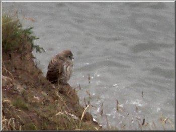
A newly fledged kestrel on the cliffs
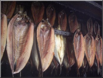
Whitby kippers in the smoke house near the Abbey steps
|