|
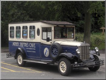
Mother Shipton's Cave publicity bus in Conyngham Hall car park
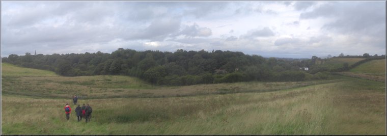
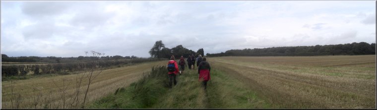
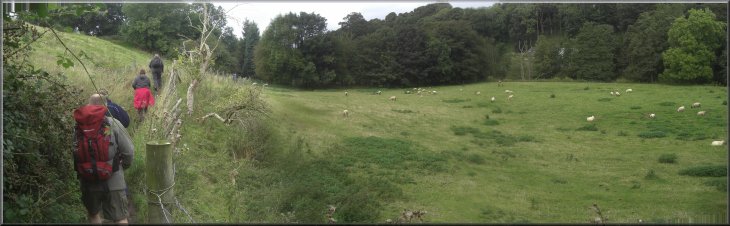
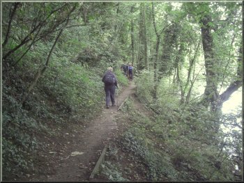
Setting out following the R.Nidd through Knaresborough
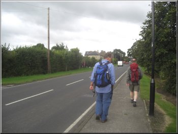
His barbecues are legendary and we hoped the gloomy weather would
brighten up a bit for it. The car park is beside the River Nidd and
we started walking at about 10.30am following the road downstream, along
the riverside.
|
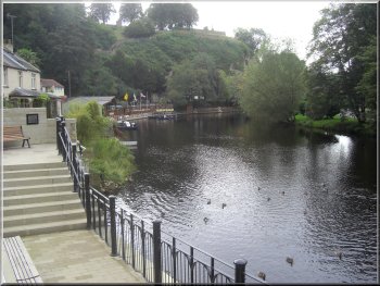
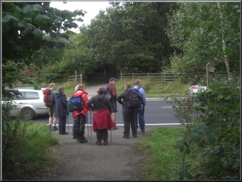
We drove to the Conyngham Hall car park in Knaresborough at map ref.
SE344572, this morning to meet a group of friends for our regular monthly
walk. This time the walk was led by Geoff and we were all invited back
to his home in Wetherby for a barbecue afterwards.
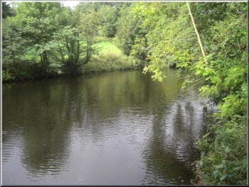
River Nidd by Conyngham Hall car park
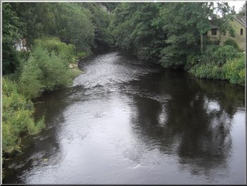
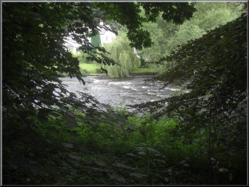
R.Nidd below the castle in Knaresborough
|
|
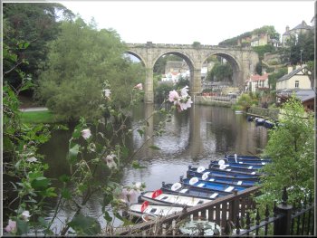
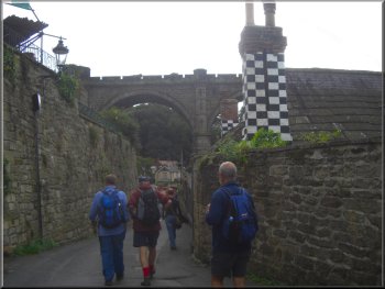
Railway viaduct across the R.Nidd in Knaresborough
R.Nidd from the B6163 road bridge
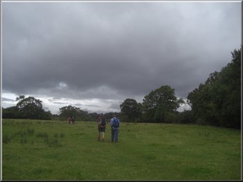
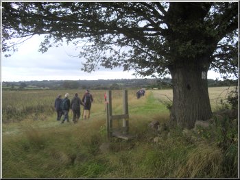
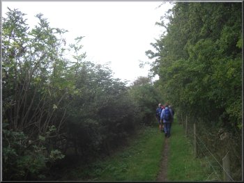
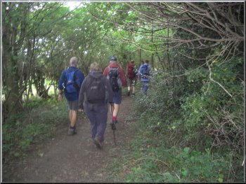
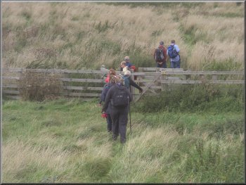
We turned right to walk along the main road across the river and up
the hill for about 250m. Here, at map ref. SE349563, we crossed the
road to take a public footpath through some woodland and out across
the fields.
|
We walked under the railway viaduct that crosses the river near the
castle and continued until we came to the B6163 at map ref. SE350565.
Riverside road through Knaresborough
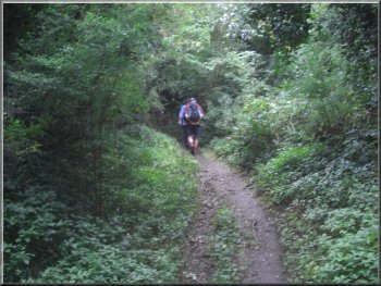
Woodland path leaving the B6163 behind
|
|
Path across the fields to Calcutt
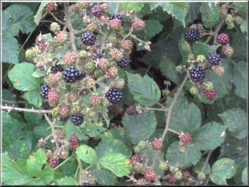
Blackberries in the hedgerow
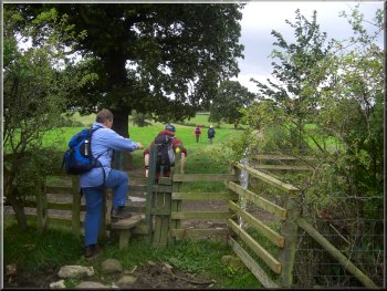
At the road we turned right and walked along the road through Calcutt
for about 800m to map ref. SE340556 where we turned left off the road
onto a footpath across the fields.
|
After almost a kilometer at map ref. SE342561, we turned left around
the corner of a large field and followed the path out to a track to
a road at map ref. SE347559.
Path across the fields to Calcutt
Walking along the road through Calcutt
|
|
Path across the fields from Calcutt
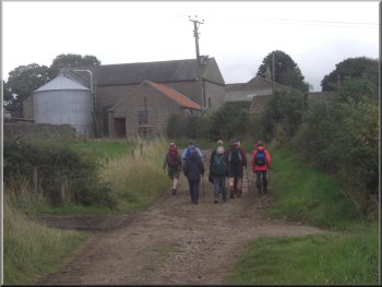
Approaching Rudfarlington Farm near the A661
After about 400m we needed to cross the road to join a footpath opposite,
but we had to wait until the driver of a car, slowing down as another
queue built up, was good enough to stop and let us cross.
|
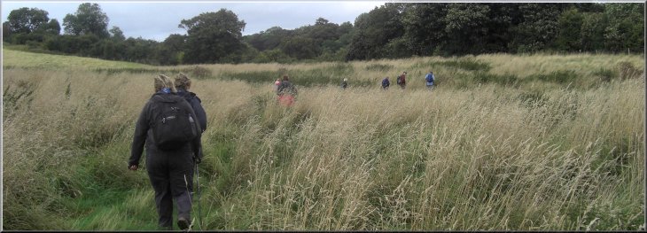
We followed the path across the fields for about 1.7km to the A661
at map ref. SE342540. We turned right to walk along the wide grass verge
at the side of the road. The traffic was very heavy and long queues
of cars and lorries kept building up and then moving on again.
Path between the fields from Calcutt
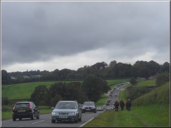
Walking along the A661
|
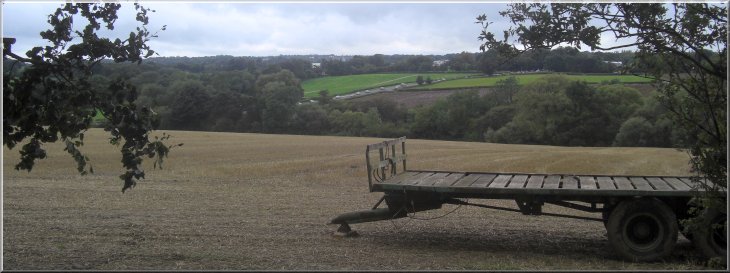
Looking across to the traffic on the A661 from the track above Rudfarlington
Farm |
Fording Crimple Beck |
|
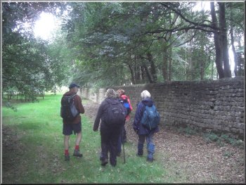
Path around the boundary of Rudding Park
Once across the beck (which incidentally gave its name to "Crimplene",
the man-made fibre, which was developed at the old ICI research centre
just a little way upstream) we followed the path to the corner of Rudding
Park at map ref. SE335537. Here we turned left to follow a path around
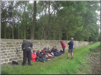
the stone wall boundary of Rudding Park. A fairly heavy shower was starting
but we were very well sheltered by the high wall and the overhanging
trees so we decided to stop for our lunch break with the wall for a
comfortable backrest.
|
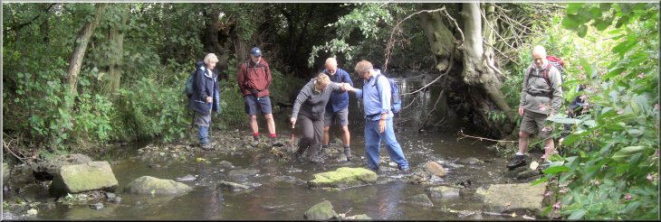
We headed south from the road along a path to Crimple Beck. There is
a ford across the beck but the water was higher than normal after the
recent rain. We paddled across a shallow rocky part of the beck and
only one person slipped and sat in the water. It was my wife, but fortunately
my pork pie for lunch that she was carrying in a small rucksack did
not get wet or crushed so everything was fine.
Lunch break next to Rudding Park
|
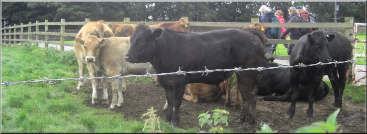
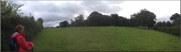
Cattle at the start of our path around Rudding Park |
|
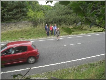
Crossing the A658, Harrogate by-pass to Follifoot
Another busy road with very fast traffic and we had to pick a gap and
run for it to get across. Once over the road we crossed the fields to
Follifoot at map ref. SE343526.
|
By the time we had finished our lunch the rain had stopped and despite
the overcast threatening sky we had no more rain today (it was even
fine for our barbecue later). We continued around the boundary of Rudding
Park until we reached the A658 (Harrogate By-pass).
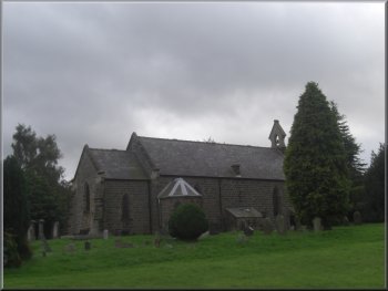
The church in Follifoot
|
Path across the fields from the Harrogate by-pass to Follifoot |
|
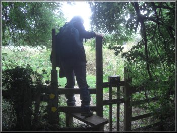
Climbing a stile at Brown Hill Wood
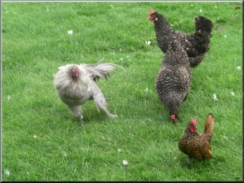
Fancy breeds of hens by the drive to Plumpton Hall
We turned right to follow the main road (again quite busy) for about
200m. Then we turned left off the road to walk up the drive towards
Plumpton Hall.
|
At the road in Follifoot we turned left to follow the road out of the
village to a bend in the road at Brown Hill wood. Here we took a footpath
along the side of the wood for about 350m to the A661 at map ref. SE352534.
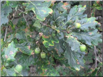
The long stalks on the acorns identify pedunculate oak
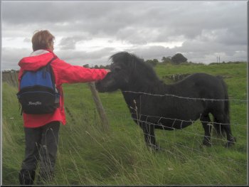
Pony by the drive to Plumpton Hall
|
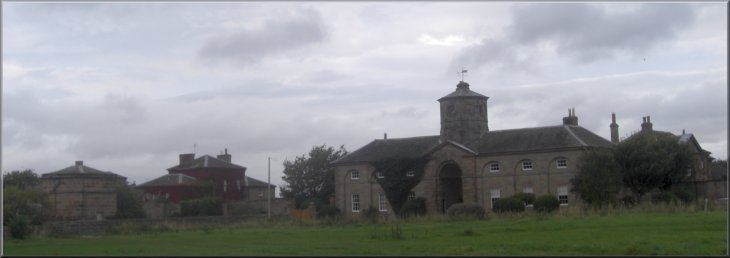
Plumpton Hall |
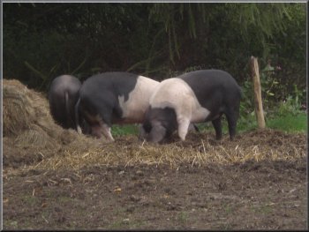
Saddleback pigs at Plumpton Hall |
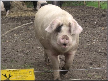
Gloucester Old Spot boar coming to see us |
Heading for Birkham Wood from Plumpton Hall |
|
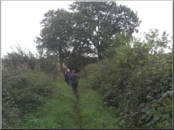
Path along the side of Birkham Wood
Path along the side of Birkham Wood
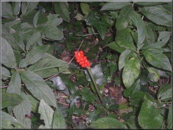
Berries of the Cuckoo Pint surrounded by dogs mercury
About 10 years ago we had helped to lay the hedge at the side of the
path working as volunteers with the BTCV
and was good to see how well the hedge had grown. At the by-pass we
had another hair raising road crossing and my friends commented on my
unaccustomed agility as I scuttled across with my dodgy knees.
|
Just before the hall the path took us across a field and along the
bottom of a wood to map ref. SE354543. Here we turned right up the side
of the wood to join a field track coming from Plumpton Hall. We followed
this track out to Birkham Wood. At the corner of the wood (map ref.
SE358547) we continued along the path in the edge of the wood to the
A658, Harrogate By-pass.
Waiting for a chance to cross the A658
Crossing the fields towards the R.Nidd
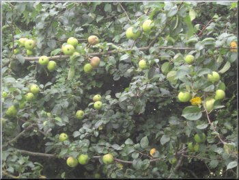
A bumper crop of crab apples in the hedgerow
|
Crossing the fields towards the R.Nidd |
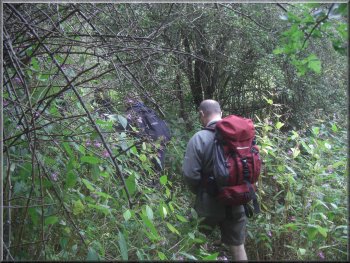
Tangled patch of woodland near the R.Nidd |
Tangled patch of woodland near the R.Nidd |
Crossing the fields towards the R.Nidd |
|
R.Nidd through the trees
Geoff had taken the route from a book called "Further Walks Around
Harrogate" published by the local branch of the Ramblers in 1984. It
is route no. 39 Knaresborough & Follifoot which is a little shorter
than our walk today at 11km because it starts from the bus station in
Knaresborough. After our walk we drove back to Geoff's house and had
a very pleasant evening and delicious barbecue
|
We continued along the path across the fields to the River Nidd, and
followed the riverside path back to the B6163 road bridge over the River
Nidd at map ref. SE350564. From there we retraced our steps along the
riverside back to the car park at Conyngham Hall. The whole route had
been 14km and it had taken us four and a half hours to walk including
our lunch stop and the various scary road crossings.
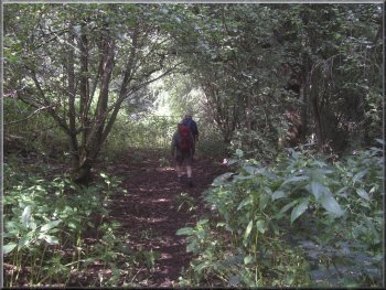
Woodland path by the R.Nidd
|
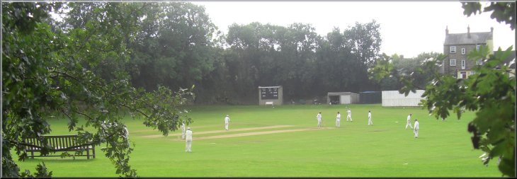
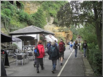
Local cricket match in progress as we approached the B6163 in Knaresborough
|