All Saints Parish Church at Rudston
|
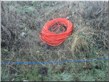
There were masses of cabling for a seismic survey
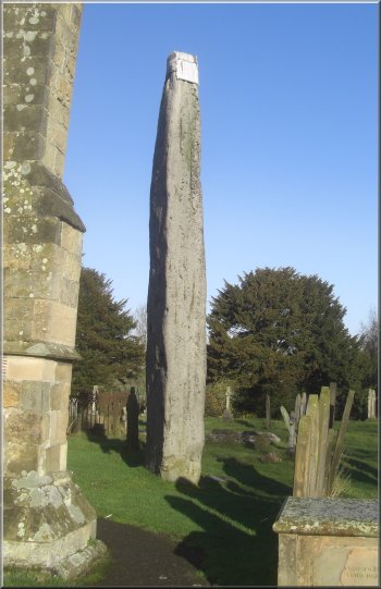
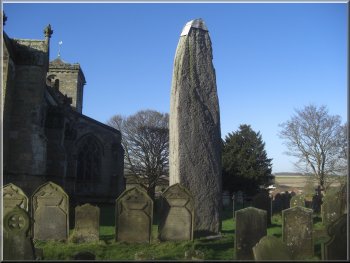
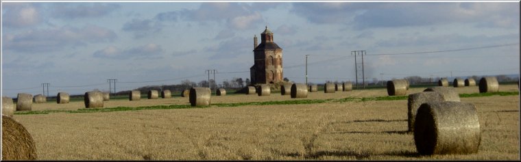
The 7.6m high monolith at Rudston church
From this
parking spot we walked back along the lane to the crossroads and turned left to walk along the B1253 for about 250m to the parish church of All
Saints on the right hand side of the road. We walked up the path into the churchyard, not just to see the church but mainly to see the famous stone
age monolith there. It is 7.6m tall and dates from the neolithic period, just before the bronze age began. The rock is moor grit conglomerate from the
North York Moors area about 30km away from Rudston. |
We had a bright autumn day today, just right for our regular monthly walk with a group of friends. We all met in a lane off a crossroads on the B1253 in
Rudston village, at map ref. TA095679. About 150m from the crossroads there is room to park off the lane on the left hand side along the grass
verge. In the village (and all over the surrounding land we discovered later) there were lines of cables linked to instruments set in the ground. It turned
out that the equipment was being set up for a seismic survey. I think that this is part of the exploration of the area for oil and gas reserves.
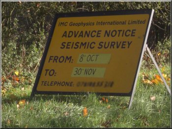
The survey work was well underway
The 7.6m high monolith at Rudston church
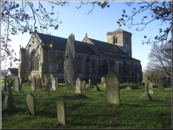
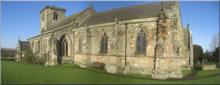
Rudston church & its monolith in the graveyard
|
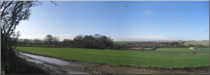
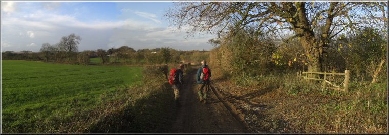
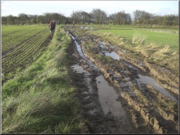
The muddy track as we left Rudston
|
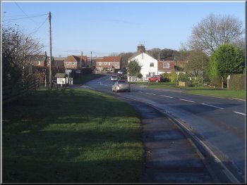
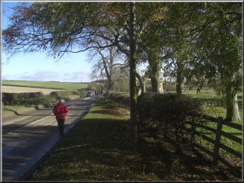
The main road (B1253) through Rudston
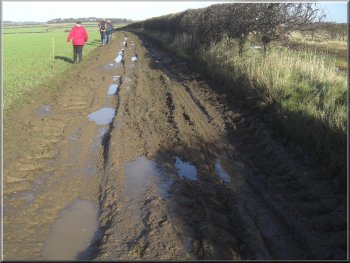
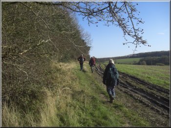
A muddy section of the track out of Rudston
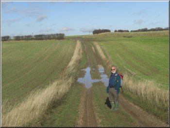
Approaching the minor road at map ref. TA106692
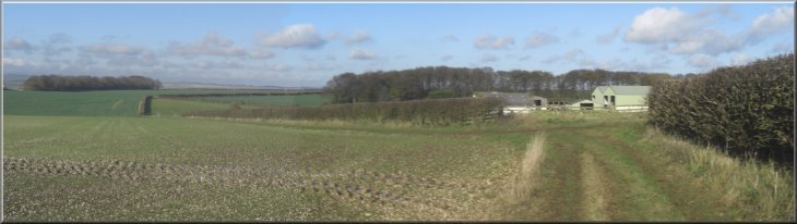
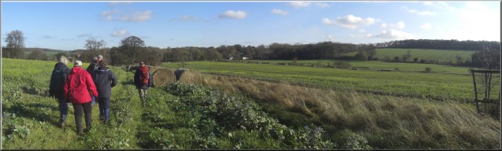
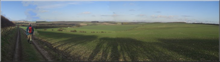
The bridleway followed the edge of the field
for about 1km to a minor road at map ref. TA106692. Here we turned right to walk along this unfenced road for about 1km to the edge of a hamlet
called High Caythorpe. We turned right off the road here at map ref. TA114698 on to a bridleway along the edge of the fields heading roughly
southwards for about 2km back to the B1253 at Low Caythorpe. |
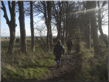
From the churchyard we followed the path out to the main road (B1253) and turned right to follow
the main road for about 250m to a track on the left hand side of the road. We followed the public bridleway up this track for about 200m where the
track turned right for another 100m. The track became a bridleway along the edge of some woodland for about 500m to another track at map ref.
TA106681. Here we turned left to walk along the track which soon became a bridleway across the fields.
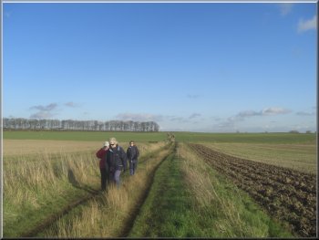
The track out of Rudston
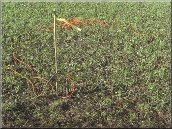
More cable for the seismic survey
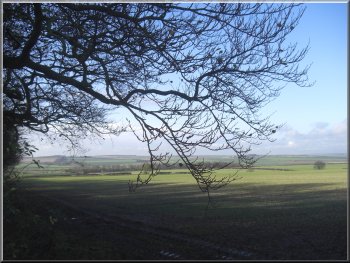
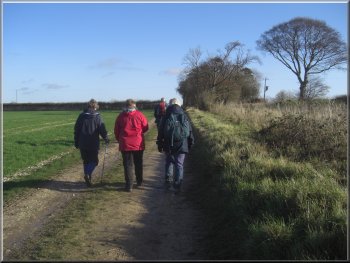
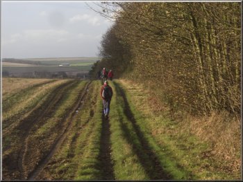
View from the path near High Caythorpe
|
|
|
Track across the fields from High Caythorpe down to Low Caythorpe
|
The B1253 heading east from Low Caythorpe
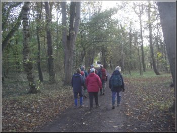
Path around the edge of West Lawn Wood
Track from Boynton to the Gypsey Race
We turned briefly on to this lane
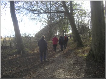
and then immediately off the lane to the left on to a public footpath around the edge of West Lawn Wood. From the wood we continued along the path
across a couple of fields to the southern edge of Boynton village. At the edge of the village we turned right along a track that led us down to the river
called the Gypsey Race. |
At Low Caythorpe we turned left and walked along the grass verge of the main road
for about 1km to a sharp left hand bend in the main road. On the crown of the bend there is a lane off to the right.
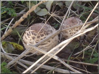
Ceps(?) (boletus) by the path
Path across the fields to Boynton
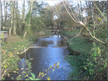
The Gypsey Race at Boynton
|
Path across the fields to Boynton
|
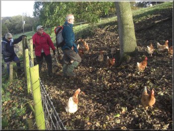
Free range poultry enclosure at Home Farm
The minor road south of Boynton
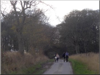
The track with Carnaby Temple away to our left
We followed this track for about 1km with a good of the monument called Carnaby Temple about 400m away from
the track to our left. After 1km along the track we came to another minor road at map ref. TA138660. Here we crossed the road and followed a grassy
track opposite between the fields. |
We crossed the river and followed a bridleway from Home Farm climbing up through a free range poultry enclosure and
across the field to a minor road at map ref. TA139671 about 600m away. At the road we turned right and walked along the road for about 250m to a
bridleway along a track on our left
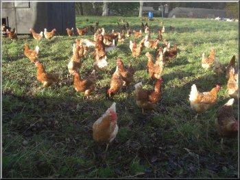
Free range poultry enclosure at Home Farm
The track with Carnaby Temple away to our left
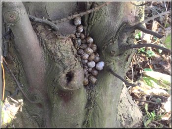
Snails hibernating in a cleft in a tree by the track
|
|
Carnaby Temple seen across the field from the track
|
The track heading west from Church Lane
Muddy track where the survey team were working
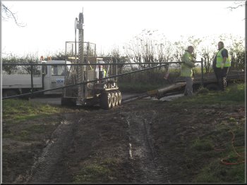
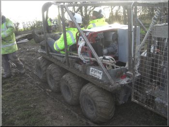
The survey team preparing to move on
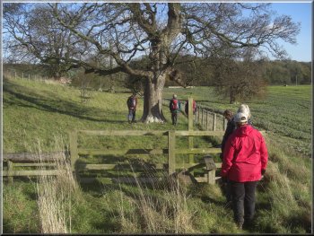
The gateway was a
scene of a great activity by a team of workmen engaged on the local seismic survey. Their eight wheel off road vehicle had churned the track into a
quagmire. We turned on to the muddy track and followed it across the fields and around the edge of woodlands called The Belt and then Zig-Zag
Plantation to join a track that led us into the southern edge of Rudston village. |
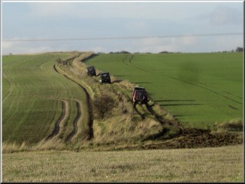
Ahead of us and to our right there was a small convoy of half a dozen off road vehicles making their way slowly
along the track. After about 1km we came to a 'T'-junction in the track where we turned right and continued along the track for another 800m to a minor
road at map ref. TA120664. At the road we turned left and walked along the road for about 600m to a gate to a track on our right.
Off road club using the track
The survey team's off road vehicle
Path along the edge of a wood called The Belt
|
Track along the edge of Zig-Zag Plantation
|
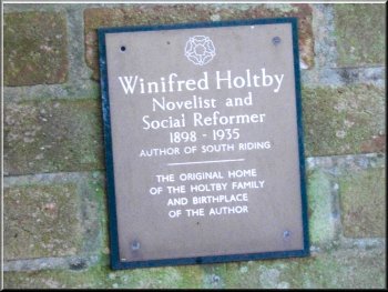
Memorial plaque to Winifred Holtby
Our parking spot and the end of our walk was along the lane opposite. The whole walk had been 16km and it had
taken us about five and a half hours to walk including our lunch stop. |
We followed a minor road back through Rudston village to the
crossroads on the main road (B1253).
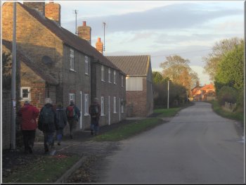
Returning to the crossroads through Rudston village
|