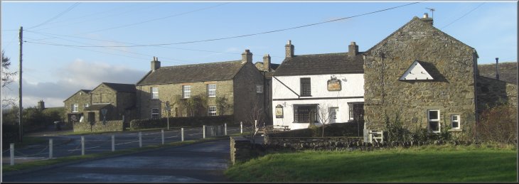
The Pheasant Inn on the A684 at Harmby near Leyburn
|
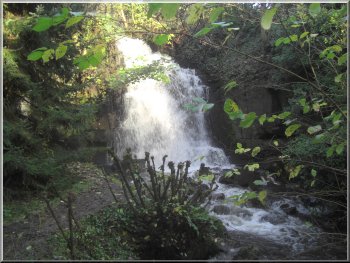
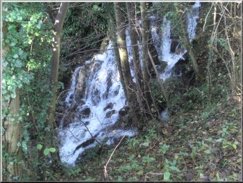
Waterfall on Harmby Mill Beck below the A684 at Harmby
So
before starting the walk we crossed the main road and walked down a footpath opposite for about 50m. There's a path off to the right and there a
large stream called Harmby Mill Beck emerges from its culvert under the main road and plunges down a very nice waterfall. After viewing the falls we
retraced our steps across the main road to our parking spot. |
Last night my wife and I stayed at our daughter's home near Bedale and today we planned to have a short walk before driving home. We drove to the
village of Harmby on the A684 about 1.5km east of Leyburn. There's a road junction in the village next to The Pheasant Inn where there's room to
park away from the main road at map ref. SE128899. I like waterfalls and there's one here right next to the main road but completely hidden.
Waterfall on Harmby Mill Beck below the A684 at Harmby
|
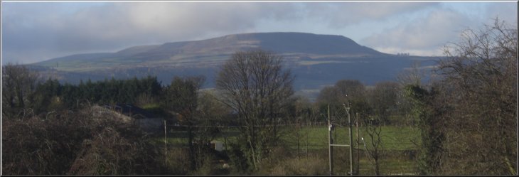
Looking up Wensleydale to Pen Hill from the road above Harmby
|
Road bridge over the Wensleydale railway at Harmby
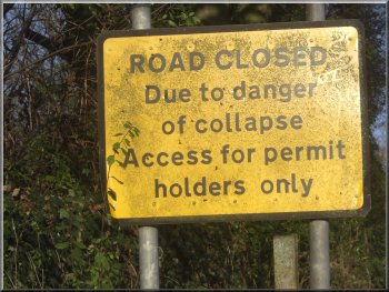
Apparently a permit stabilises the road then?
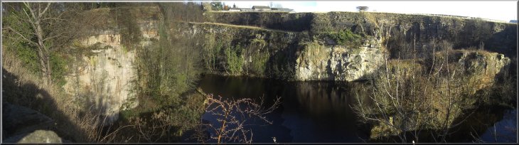
About 300m along the lane from the junction we discovered what the problem was. There is a deep quarry right up to the road on
both sides and the road runs along a tall, narrow column of rock between the quarry on the left where there is a caravan site on the quarry floor, and
the quarry on the right where there is a large lake. |
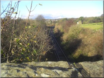
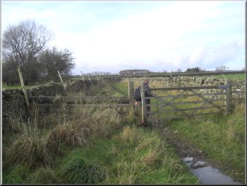
From our parking spot we continued along the minor road crossing the railway bridge
over the Wensleydale railway. Just over the railway bridge we came to a 'T'-junction where there's also room to park off the road. At this junction we
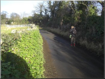
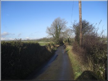
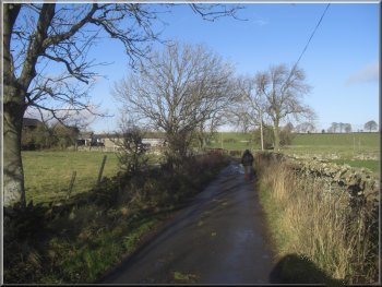
turned left and followed the lane slowly climbing up from the village. There are signs warning vehicles not to use this unstable road and we wondered
what was going on.
The lane heading north west out of Harmby
Caravan site on the quarry floor to the left of the road
|
|
Large lake in the quarry to the right of the road
|
The lane leading to Cow Close farm
Ripening ivy berries on the road side
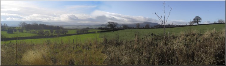
As the road climbed up away from the village there was a lovely view up
Wensleydale with the distinctive shape of Pen Hill in the distance sitting between Wensleydale and Coverdale. |
Fortunately our combined weights did not cause the road to collapse and we continued along the
lane for about 1.5km to Cow Close farm on the right hand side of the road.
Rose hips on the road side
The lane leading to Cow Close farm
|
Looking up Wensleydale from the road near Cow Close farm
|
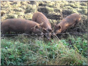
Tamworth pig beside the path
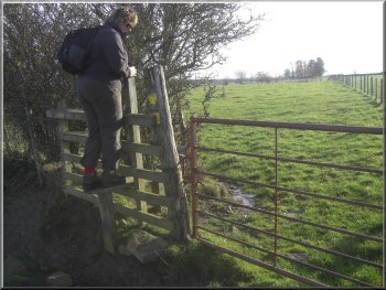
At South Moor Lane we turned
right to walk along it for about 400m to a public footpath on the right at map ref. SE122922. |
At Cow Close farm we forked right off
the lane to follow a footpath across the fields for about 300m to a minor road called South Moor Lane, at map ref. SE118921.
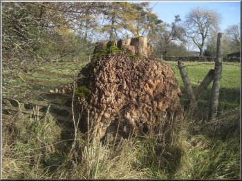
Gnarled tree stump by the path
|
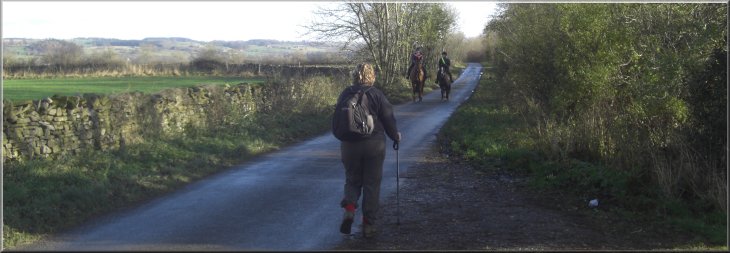
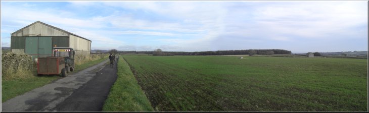
Horse riders passing us on South Moor Lane
|
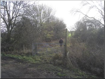
Our turning off South Moor Lane
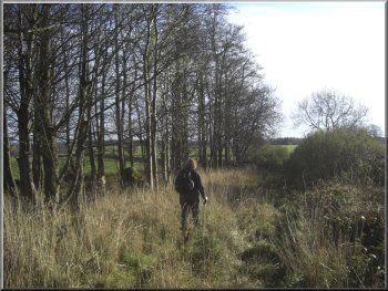
We followed this path for about 2km to a farm access track near Givendale Wood at map ref. SE138913. |
We turned off the road to follow this footpath across the
fields.
Path across the fields from South Moor Lane
|
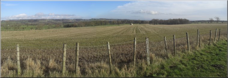
Path across the fields, known as Harmby Moor
|
Farm access track near Givendale Wood
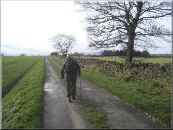
The lane back into Harmby
We retraced our steps over the railway bridge to our parking spot and the end of our walk. The whole
route had been 7km and it had taken us about two and a half hours to walk in the autumn sunshine before we had to drive home.
|
We followed the track for a few
hundred metres until the track became a tarmaced public road. We continued along this minor road for about 1.2km back to the 'T'-junction and the
bridge over the Wensleydale railway at Harmby.
Farm access track leading to the public road
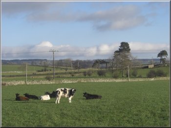
Cattle in a roadside field
|
The lane back into Harmby
|