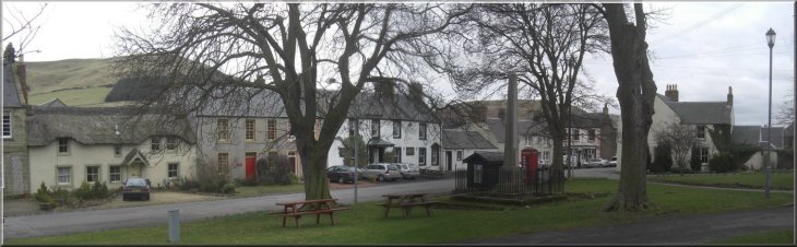
High Street in Town Yetholm in the Scottish borders
|
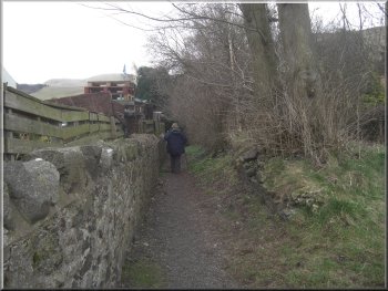
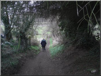
Passageway from Yewtree Bank towards Bowmont Water
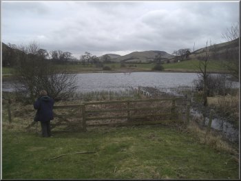
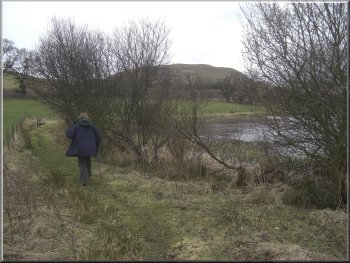
Gate into the Romany Marsh nature reserve
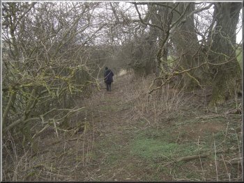
Where the fenced path comes out into the open field there is a path down to the river side but we turned sharp right to
follow a path alongside the hedge. After about 400m this path brought us to the edge of a small nature reserve called Romany Marsh. Town Yetholm
& Kirk Yetholm have a long history of association with the Romany people and Romany House in the town that was the residence of the 'King Of The
Gipsies'. The last king to live there died in 1883 and the house is now a hotel. At the nature reserve there is a small lake with numerous wild fowl.
There is a path around part of the lake and a seat to sit and enjoy the scene. We saw several herons feeding amongst the reeds. |
Over the last few years a family tradition has grown up whereby my wife and I and her two sisters and their husbands all have a Spring break together.
This year we are staying in a lovely cottage with a stream running through the garden near Kirk Yetholm in the Cheviots border country. For today's
walk we started from the green by the High Street in Town Yetholm at map ref. NT819279 where there is room to park a few cars. We crossed
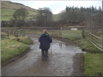
the High Street and walked down Grafton Road opposite for about 80m to a sharp left hand bend. At the bend we turned right off the road to follow a
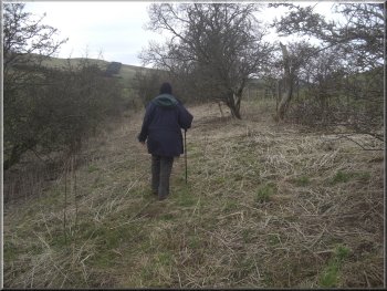
footpath between the houses. The footpath took us across Yewtree Bank and continued from the other side of the road down to the fields between
the town and Bowmont Water.
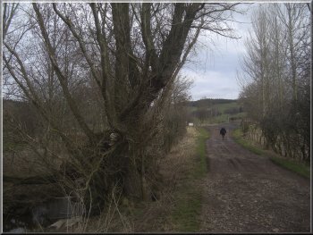
Path from Yewtree Bank to the fields by Bowmont Water
Path round the lake at the Romany Marsh nature reserve
|
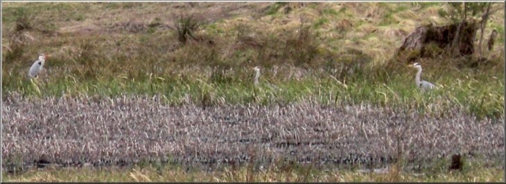
Herons feeding amongst the reeds at the Romany Marsh nature reserve
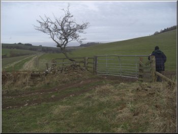
The gate on to the lane used as part of the St. Cuthbert's Way long distance path
|
Stream ford 200m before the bridge over Bowmont Water
Our turning off the B6401 on to a farm track
The farm track was a bit overgrown in places
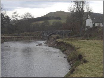
After around 600m where the river was close to the road (B6401) we could see the road bridge over Bowmont Water at Primsidemill. Here we turned right away from the river and walked up the edge of a field to a gate on to the road. At the road we turned left and walked along the road past the minor roads on the left for 300m to a farm track on the right at map ref. NT810265. We turned right off the road and walked along the farm track which was quite overgrown in places but we managed to get through. After 400m the track turned sharp left but we continued straight on following a path along the field edge. |
From the lake we
followed the path to a track at map ref. NT820274 on the route of the St. Cuthbert's Way long distance walk from Melrose to Holy Island. At the track
we turned right and followed the track for about 400m to a minor road. At the road we turned left and walked down the road towards a ford across a small stream about 200m before a bridge over Bowmont Water at Hayhope. As soon as we had crossed the ford we turned right off the road to walk along a path following the Bowmont Water upstream.
Path beside Bowmont Water looking to the bridge at Primsidemill
The farm track was a bit overgrown in places
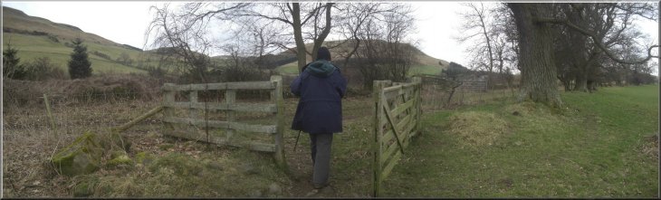
Gate from the farm track to the field path
|
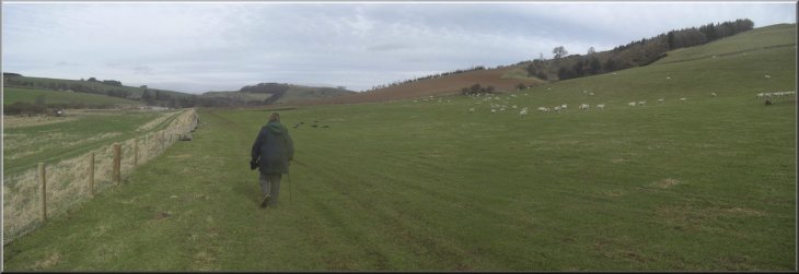
Continuing along the path at the field edge towards Yetholm Loch
|
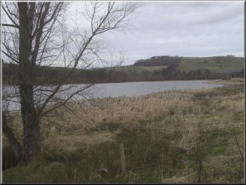
Approaching Yetholm Loch
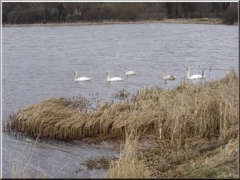
Swans on Yetholm Loch
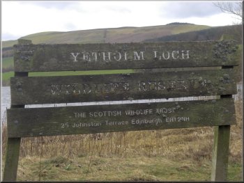
Dilapidated nature reserve sign
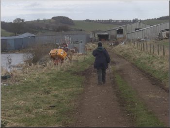
The path took us past a farm called Lochtower on the map, and we followed a track from the edge of the farm out to the public road (B6352) at map ref. NT806285. |
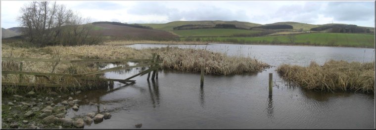
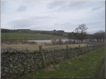
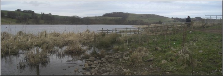
After 700m this path brought us to the edge of the Yetholm Loch Nature Reserve. The site is managed by the Scottish Wild Life Trust. Yetholm Loch is a large body of water in a very attractive setting and there were a number of swans on the water as we walked by.
Yetholm Loch
Path by Yetholm Loch to Lochtower farm
Track to the B6352 from Lochtower farm
|
Yetholm Loch Nature Reserve
|
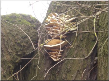
Bracket fungus on a tree by the track
The road heading back to Town Yetholm
This led us back to our parking spot and the end of our walk. The whole route had been 7km and it had taken us two and a half hours to walk it. |
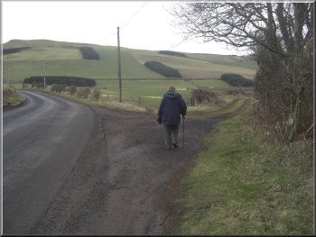
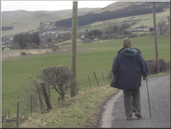
At the road we turned left and walked along the road for 1.5km back to Town Yetholm. In the town we turned right off the B6352 and followed the High Street.
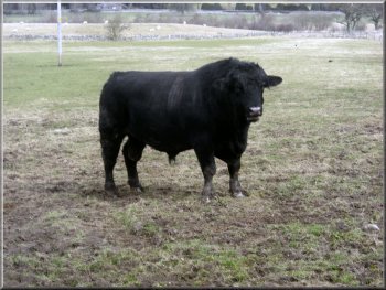
Very sturdy Aberdeen Angus bull beside the road
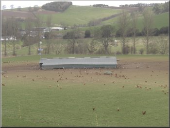
Free range poultry by the road
|
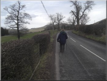
The road heading back to Town Yetholm
|
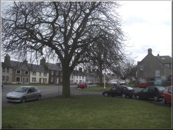
The green in Town Yetholm where we had parked
|