| 2001 walks | 2002
walks | 2003 walks | 2004
walks |
| 2005 walks | 2006
walks | 2007 walks | 2008
walks |
| 2009 walks | 2010
walks | 2011 walks | 2012 walks |
| 2013 walks | 2014 walks | 2015 walks | 2016 walks |
| 2017 walks | 2018 walks | 2019 walks |2020 walks |
| 2021 walks | 1993-2000 library | Find a Route Index |
| A few Routes to print out | Request a Route... |
Route No. 352 - Saturday 24 July 2010
Oldstead, High Kilburn,
Oldstead Grange circuit - 7km
The Hambleton Hills . . .
Route map from Ordnance
Survey Open Space service.
Map: OS Explorer OL26 North York Moors Western area at 1:25000
|
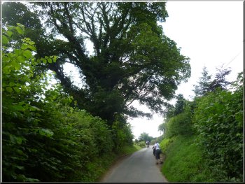
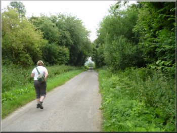
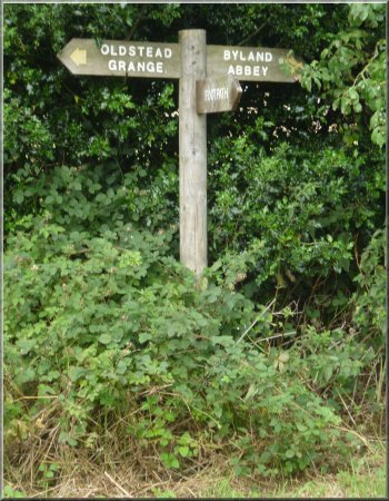
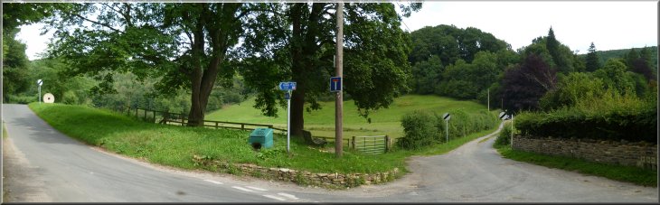
The road into Oldstead
To be honest it's not very satisfactory parking spot and it may be
better to start and finish the walk from the road near Oldstead Grange
at map ref. SE533798, where there is a reasonably wide grass verge.
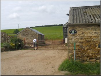
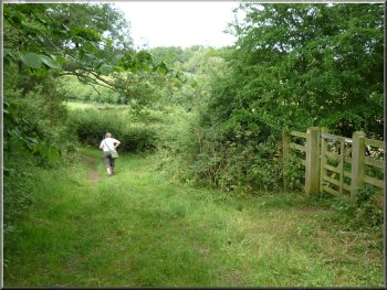
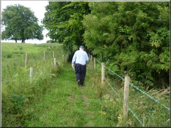
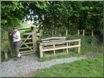
From our parking spot we walked back into Oldstead to Scawling Farm
on the right hand side of the road at map ref. SE530801. Here we took
the footpath up through the farm and followed the path heading southwards
roughly parallel to the road through the village.
|
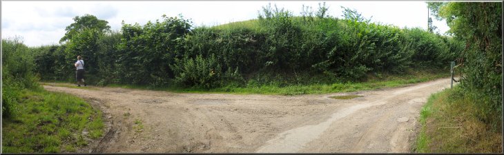
It was fine and sunny today so after doing some little jobs at home
my wife and I drove a few kilometers to Oldstead for a short walk. Parking
in the village is awkward. It's a narrow road with little or no verge.
We drove through the village to a junction at map ref. SE530804. Here
we turned right to drive about 150m along the lane where we managed
to squeeze our car just off the road by a footpath sign where the road
turns right and a track goes off straight ahead.
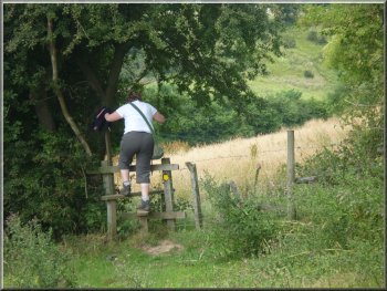
Start of the path through Scawling Farm
|
Path across the fields from Scawling Farm |
|
The little valley above Beckside Farm
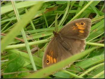
One of many meadow brown butterflies we saw today
As the path climbed up from the beck we came to another path at map
ref. SE527797. Here we turned right to follow the path towards High
Kilburn.
|
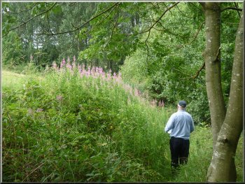
After about 600m we crossed a pretty little valley with a beck flowing
down it. About 200m down stream the beck crosses the road at Beckside
Farm.
The little valley above Beckside Farm
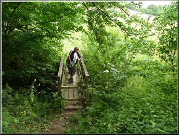
Footbridge over the beck above Beckside Farm
|
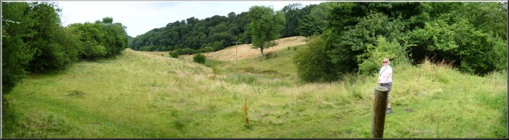
Looking up the little valley above Beckside Farm |
|
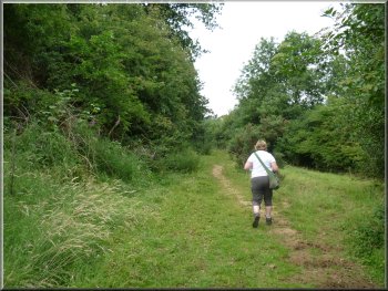
The path heading for High Kilburn
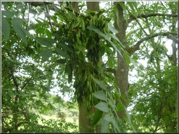
Bunches of young ash keys (ash tree seeds)
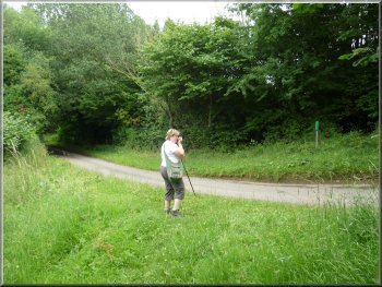
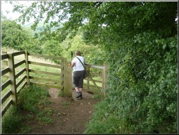
We continued on the path to the road at map ref. SE521796, near High
Kilburn. We turned left onto the road, a narrow lane really, and followed
it for about 200m to a track on the left at a right hand bend in the
lane. Here we turned left onto the track.
|
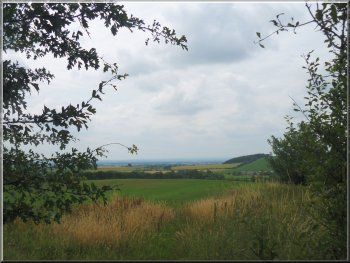
The path followed the line of the beck for a few hundred metres and
then turned south west. From this part of the path we could see the
Kilburn White Horse cut into the hillside about 1.5km away to our right.
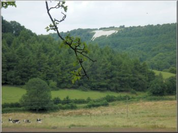
Kilburn White Horse about 2km away to our right
Approaching the road near High Kilburn
|
Turning onto the track to Weatherall Barn |
|
Track to Weatherall Barn
Path heading towards the road at Kilburn Thicket
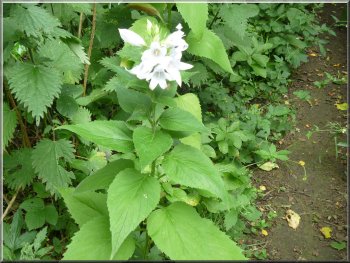
A one of several white giant bellflowers by the path
After about 700m from Weatherall barn we came out on to a bend in a
road at the edge of a wood called Kilburn Thicket.
|
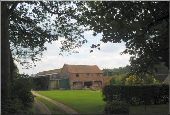
We followed the track for about 300m to Wetherall Barn. Just beyond
the barn the path turned left to follow the field edges.
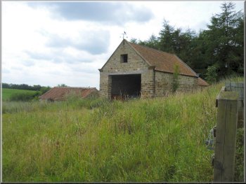
Weatherall Barn
View westwards from the path
Path heading towards the road at Kilburn Thicket
|
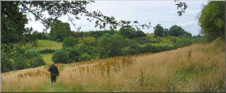
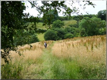
Large wheat field opposite Weatherall Barn |
|
Joining the road near Kilburn Thicket
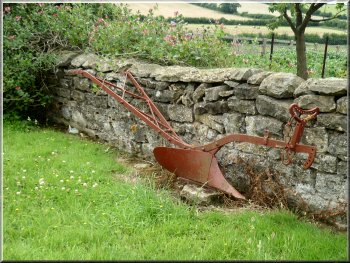
Horse drawn plough used as a garden ornament
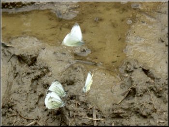
Green Veined White butterflies drinking
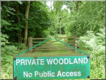
There is no public access to this private wood. We continued along
the road to a right hand bend in the road at map ref. SE529783, about
250m past Fox Folly Farm.
|
We joined the road to walk along it past Kilburn Thicket. I believe
this wood was owned by the Forestry Commission until the early 1990's
when it was sold off along with other small woodlands all over the country.
Entrance to Kilburn Thicket
The road passing Kilburn Thicket
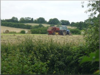
Bailing the hay near Fox Folly Farm
|
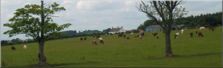
Herd of beef cattle grazing by the path to Oldstead Grange |
|
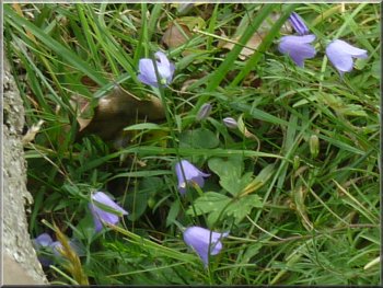
Harebells by the path
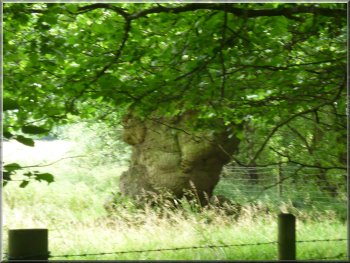
Ancient oak marking where the
parish boundary leaves the stream
This tree is recorded on the "Ancient Tree Hunt" database and it seems
likely that it is a boundary marker for the point where the parish boundary
turns north east away from the stream.
|
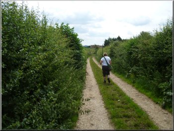
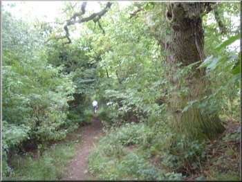
At the bend we turned left off the road to follow a path across the
fields for just over a kilometer to Oldstead Grange. Where the footpath
crosses a stream at map ref. SE534787, there is a large old oak tree
visible in the field on the right of the path.
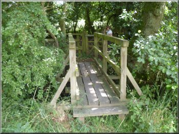
Footbridge over a stream that is the parish boundary here
The path to Oldstead Grange
|
|
The path to Oldstead Grange
At the road we turned right and walked along the road for about 150m
to a right hand bend in the road. As we approached the bend there was
a wide grass verge on the right hand side of the road where I think
we could have parked to start and finish the walk from this point.
|
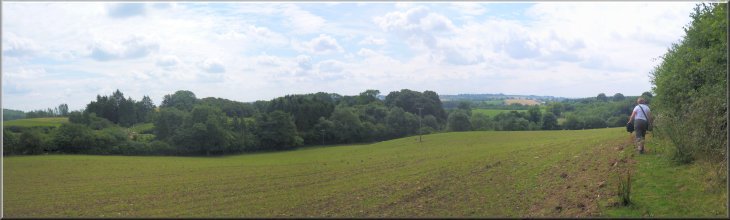
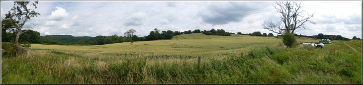
From Oldstead Grange we followed the farm access road through a very
large wheat field to the road at map ref. SE532797.
The path to Oldstead Grange
Looking back to Oldstead Grange
|
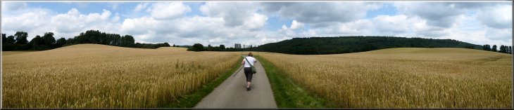
Following the access road from Oldstead Grange through a large wheat field
|
|
Path along the field edge towards Oldstead Hall
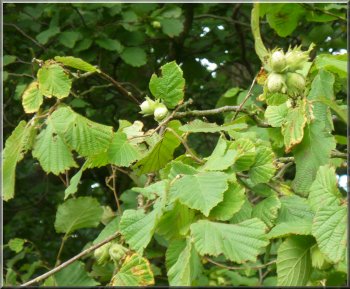
Hazel Nuts overhanging the path
Steep descent to Oldstead Hall entrance
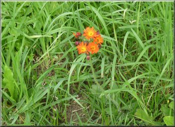
"Fox & Cubs" growing by the road,
a member of the daisy family
The access road is lined with lime trees and we walked along this
avenue to the road through the village at map ref. SE530803. At the
road we turned right and retraced our steps for about 200m back to our
car. It had been a very pretty route of about 7km and it had taken us
two and a quarter hours to walk.
|
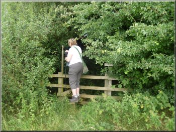
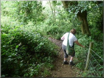
At the bend in the road we turned left onto a footpath along the edge
of the fields to our left and a steep wooded bank on our right. The
bank goes down to the beck that flows past Byland Abbey and on into
the lake at Newburgh Priory. After about 300m from the road, the path
drops down a steep bank to the access road to Oldstead Hall and Oldstead
Mill.
A seat fenced to keep the livestock off
Path along the field edge nearing Oldstead Hall
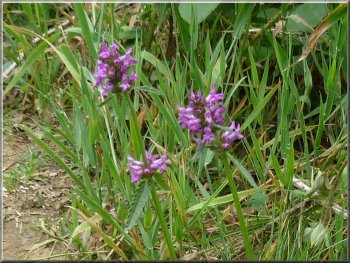
Betony flowers on the bank by the road
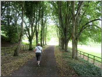
Avenue of limes from Oldstead Hall
|
The lane back to our car on the edge of Oldstead |