| 2001 walks | 2002
walks | 2003 walks | 2004
walks |
| 2005 walks | 2006
walks | 2007 walks | 2008
walks |
| 2009 walks | 2010
walks | 2011 walks | 2012 walks |
| 2013 walks | 2014 walks | 2015 walks | 2016 walks |
| 2017 walks | 2018 walks | 2019 walks |2020 walks |
| 2021 walks | 1993-2000 library | Find a Route Index |
| A few Routes to print out | Request a Route... |
Route No. 392 - Thursday 24 February 2011
Cowhouse Beck circuit - 9km
Helmsley
North York Moors . . .
Route map from Ordnance Survey
Open Space service.
Map: OS Explorer OL26 North York Moors Western area at 1:25000
A walk by Ray Brown of Northallerton - Thanks Ray for another
great contribution
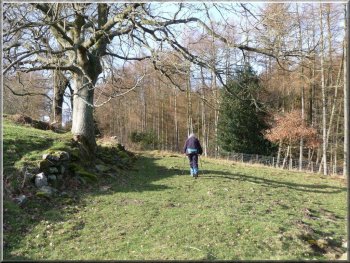
Path through Riccal Dale Wood |
|
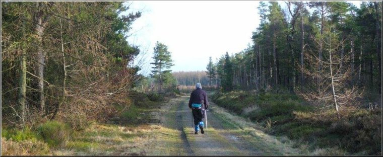
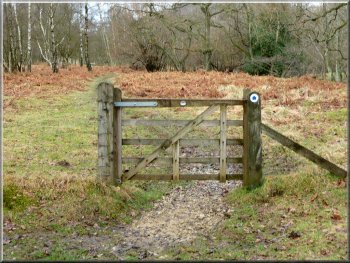
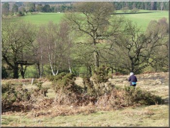
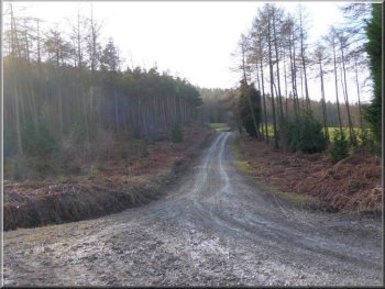
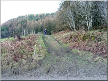
Leaving the forest track at SE622879 on the Tabular Hills route
Across the road we entered Riccal Dale Wood on a forest track that
heads south east. We continued in this direction until, after a kilometre,
we reached a signpost "Tabular Hills Walk" (SE622879) where we turned
sharp left to follow the Tabular Hills route down the valley side.
|
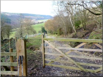
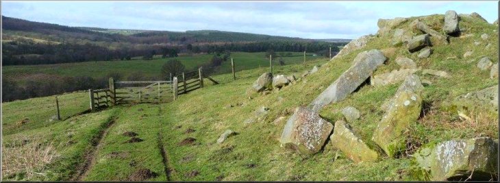
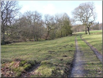
Today's weather forecast promised fine warm conditions following seemingly
endless dull cold days. We drove to the car park at the top of Cowhouse
bank (SE613886) and began by crossing over the Helmsley-Bransdale road.
Crossing a track at SE624881 in Riccal Dale
|
|
Waymarked gate on our left leading to Cowhouse Beck
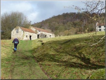
Path uphill took us through Hasty Bank Farm
Fording a small stream on the way to Howl Wood Farm
Within 50 metres the track divided and we declined to use the waymarked
gate on the right which led uphill. Instead the gate immediately ahead
of us gave access to a farm track that roughly followed the contour
line. After we had forded a small stream, this track led us towards
Howl Wood Farm.
|
Soon we descended quite steeply until we crossed over a track by a
bench (SE624881) where a couple of walkers were taking lunch. Within
a few minutes where the path veered right, a waymarked gate on our left
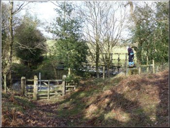
gave access to a path leading to a footbridge over Cowhouse Beck. Then
the path uphill took us through Hasty Bank Farm to a track where we
turned left.
Footbridge over Cowhouse Beck
Gate above Hasty Bank Farm led to Howl Wood Farm access track
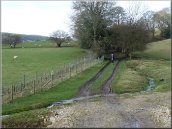
The access track leading to Howl Wood Farm
|
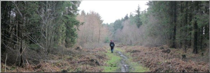
We continued along a sodden grassy track from Howl Wood Farm along Coning's
Birks |
|
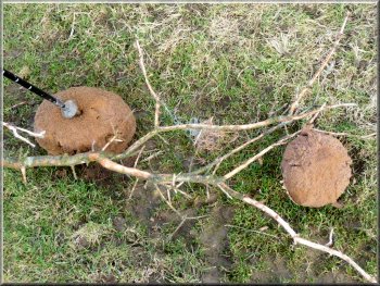
There were several large puff-ball fungi by the path
Where the track forked we kept to the left downhill through a waymarked
gate.
|
Passing through the farmyard we veered right and continued along a
sodden grassy track on which lay several large puffball fungi.
Dropping down to the beck from Coning's Birks
|
Keeping to the left downhill from Coning's Birks through a waymarked gate
|
|
Helped by a waymark on a low post, we approached a footbridge
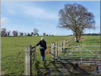
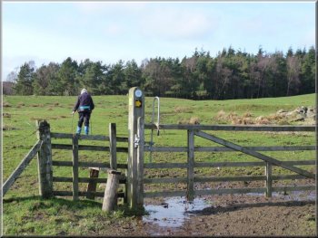
Taking the left of two gates across the fields to East Moors
The route now followed a fence on the right towards a stile showing
alternative waymarks.
|
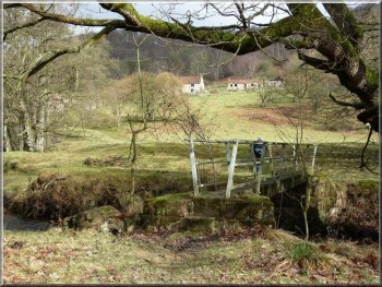
Soon, helped by a waymark on a low post, we were walking on grass towards
a footbridge at SE614899. Ascending from the stream we encountered a
pair of gates, taking the one on the left which was waymarked and easily
opened.
Footbridge over Bonfield Gill at SE614899
Stile on the way to East Moors showing alternative waymarks
|
|
Our path kept well to the left of this cottage
Track down to Cowhouse Beck from the Helmsley-Bransdale road at SE609902
|
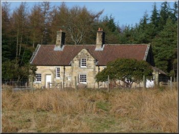
A cottage lay ahead but we chose the leftmost direction (west) which
pointed to a tree stump, well to the left of the cottage.
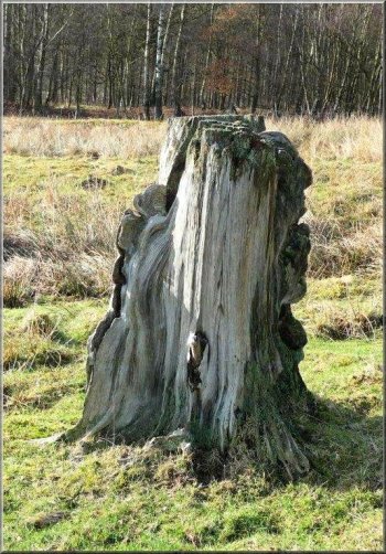
Tree stump by the path to the left of the cottage
|
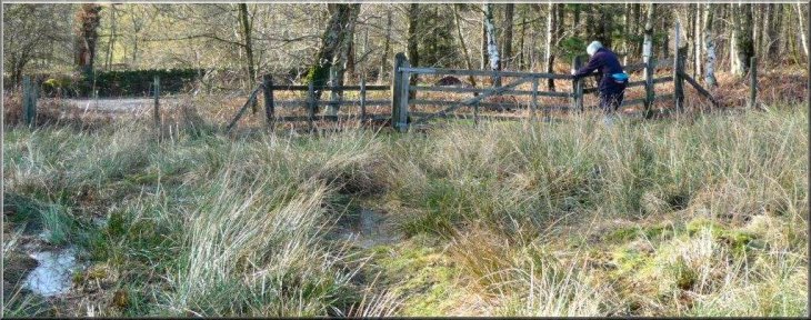
Negotiating a small bog with reeds as we approached the Helmsley/Bransdale
road at East Moors |
|
Footbridge over Cowhouse Beck
Track past Old Fold cottage
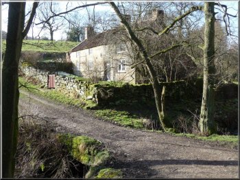
Here we took the left fork in the track that runs parallel to the
beck to reach Old Fold cottage where the track crosses the beck. After
passing by the cottage we immediately bore right towards a disused quarry.
|
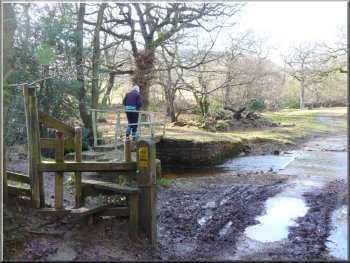
After negotiating a small bog with reeds, we reached the Helmsley-Bransdale
road and crossed it to follow a public footpath sign pointing to a footbridge
over Cowhouse Beck.
Track to Old Fold Cottage, parallel to the beck
Grassy path climbing up from Old Fold Cottage
|
|
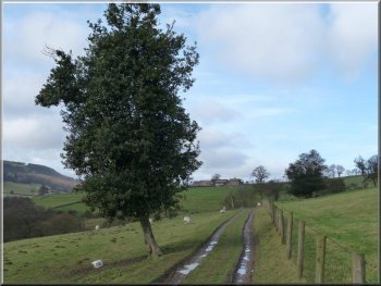
Track leading uphill from Cowhouse Bank Wood
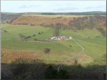
Howl Wood farm from Cowhouse car park
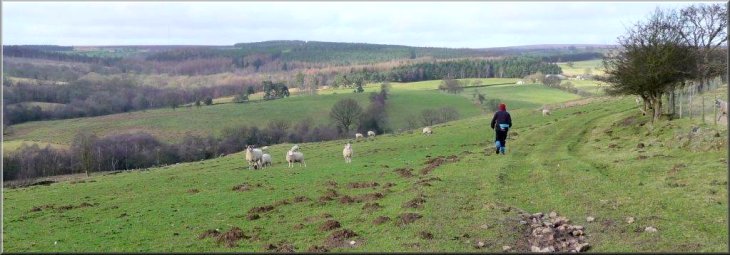
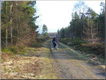
The remaining 2km was level and easy walking back to the car park from
where we were able to review some of our route. Conclusion: this is
an excellent short walk for dry summer conditions but an excess of mud
wrestling after rain made it slow and heavy-going on tracks used by
horse riders or vehicles and so detracted from the enjoyment
- Ray Brown
|
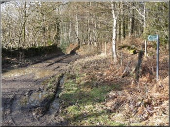
When the path reached a crossing of forest tracks we took the track
directly ahead leading uphill. Ignoring the first track off to the left,
we took the second such track (waymarked) at SE597905 shortly after
the main track had veered right. This climbed steeply up Clark Bank
until it merged with another main track coming in from the right.
Track (waymarked) at SE597905 leading up to Baxton's Wood
Returning to Cowhouse Bank car park through Baxton's Wood
|