|
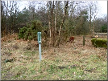
Footpath sign at the start of our walk
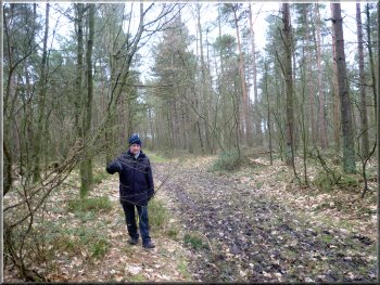
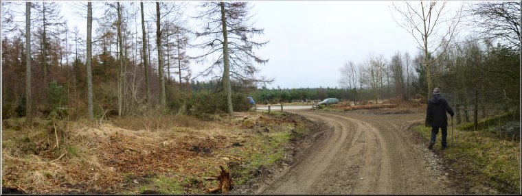
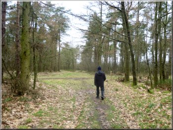
Public footpath heading northwards through the woods
It was a grey overcast day, but it was fine. We set off at about 10.30am
on the track through the forest to the left of the road heading northwards.
There were clearly some forestry operations in progress judging by the
amount of mud and vehicle ruts on the track. After about 150m the track
turned sharp left and here we continued straight on along a grassy public
footpath through the trees.
|
It's four weeks and two days since I had my knee replacement operation.
So far I've walked around the local housing estate and been to my physiotherapy
sessions at the hospital. Today my mate, Jim, had offered to drive us
out for a short flat walk and a cafe stop. Thanks Jim! We drove to the
top of Wass Bank and parked on the wide grass verge at map ref. SE561806,
where a forest track crossed the road.
Public footpath heading northwards through the woods
Public footpath heading northwards through the woods
|
|
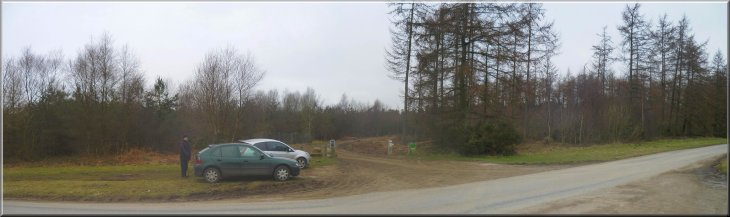
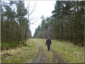
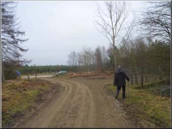
Approaching a forest access road at map ref. SE559815
Heading for a 'T'-junction with another forest access road
Here we turned left to walk along the access road for about 350m to
a 'T'-junction with another forest access road. At this junction we
turned left and followed this access road up a slope.
|
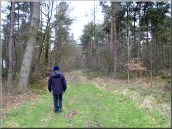
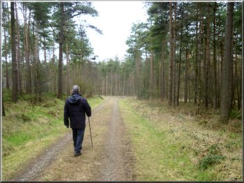
We followed this path northwards for about 800m until we came to a
forest access road at map ref. SE559815.
Following the forest access road from map ref. SE559815
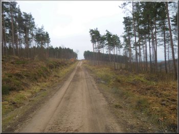
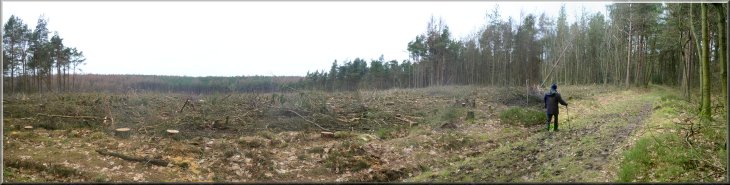
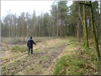
Heading back past an area of cleared forest
|
|
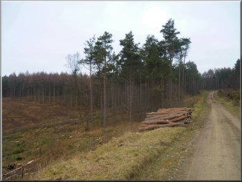
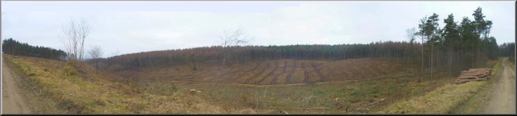
One of a few remaining stacks of logs
From there we retraced our steps for the final 150m back to the car.
This little 2km walk had taken me about an hour and it was far enough
for my first out of town walk after my operation. We drove into Helmsley
and found a cafe for a bacon sandwich and a coffee before returning
home. It had been a very pleasant outing and something I hope to repeat
and extend over the coming weeks.
|
All the forest in the valley to our right had been felled and cleared
and a few stacks of logs remained beside the access road. After about
600m the road turned sharp left and then after another 100m it turned
sharp right. This was the point where we had left the road to follow
a public footpath near the start of the walk.
Returning to the car at the top of Wass Bank
|