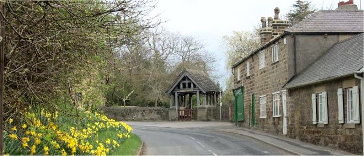
The road past Bardsey church at the start of the walk |
|
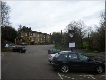
Bingley Arms pub in Bardsey
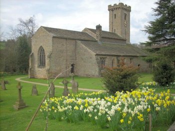
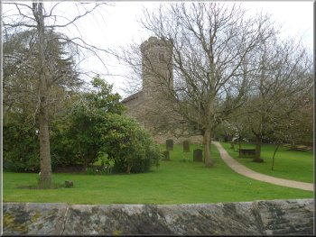
Bardsey church
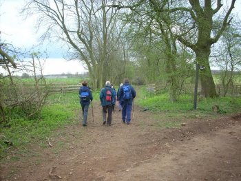
After my little walk I retired to the Bingley Arms for a very nice
lunch to wait for the group to return. The group set off from the pub
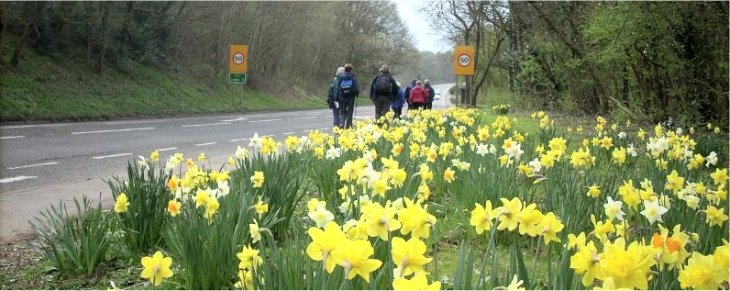
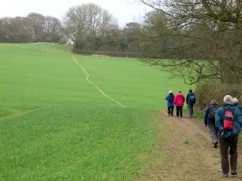
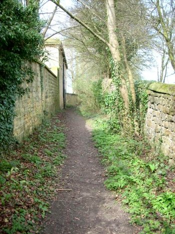
car park to walk down the road past the church to the A58. At the main
road, map ref. SE369432, they turned right to walk along the road for
about 200m to a footpath off to the left of the road. (There is a dog
walkers' path in the woods to the East of the road if you want to avoid
the 200m along the main road)
|
It's the first Saturday in the month so time to meet up with a group
of friends for our regular monthly walk. This time we all met in the
car park of the Bingley Arms in Bardsey at map ref. SE364430, about
500m West of the A58 Wetherby to Leeds road. I still have a long recovery
period ahead after my knee replacement operation so I just did a little
4km circuit of my own.
Bardsey church
Path from the A58 on the old railway bed
|
Walking along the A58 to the start of the path on the old railway bed
|
|
Wood anemones by the path
The path approaching Hetchell Wood
|
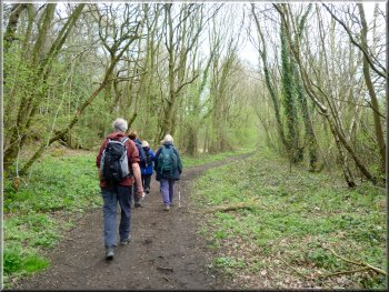
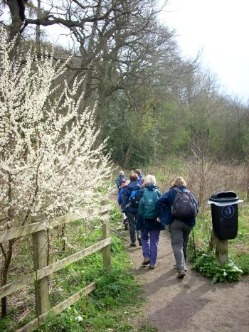
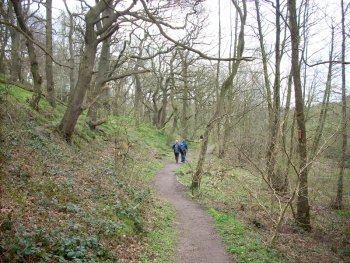
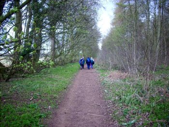
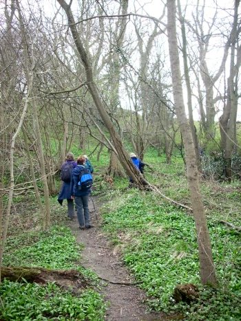
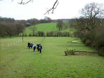
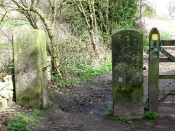
The group turned off the main road to follow the public footpath initially
on the bed of a disused railway and then along the edge of some woodland
and fields to the edge of Hetchell Wood at map ref. SE375427. Hetchell
Wood is a nature reserve managed by the 'Yorkshire Wildlife Trust'.
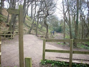
Entering Hetchell Wood
|
|
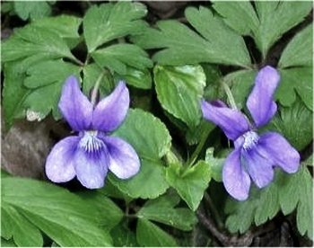
Violet by the footpath
Wild garlic in the woods
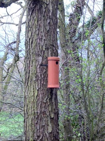
Nesting box in Hetchell wood
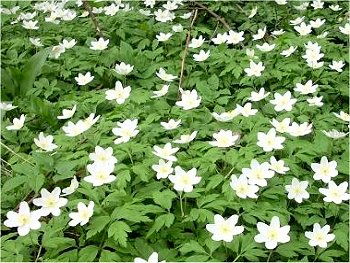
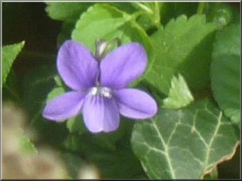
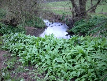
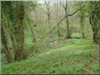
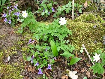
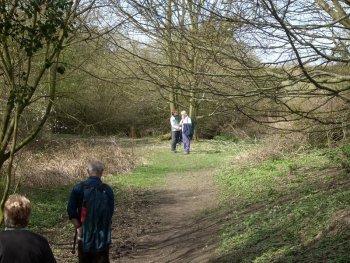
The group followed the public footpath through the nature reserve.
There was already a carpet of wild flowers in the wood including wood
anemones, cellandines and violets in flower and the leaves of wild garlic
and bluebells well advanced.
|
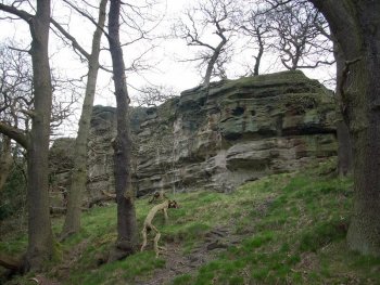
There is a particularly rich variety of plants, insects, and birds
because the wood straddles the boundary of gritstone and limestone outcrops.
Hetchell woods
The path through Hetchell woods
Hetchell craggs in the woods
More violets in the woods
|
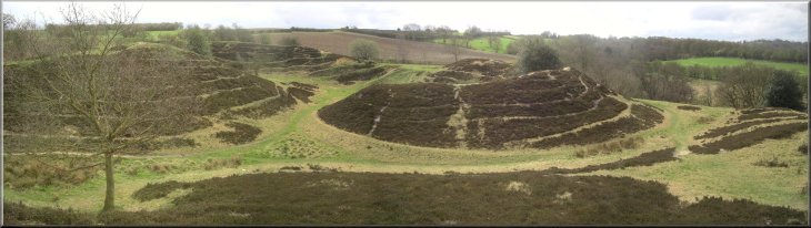
Roman earthworks at Pompocali |
|
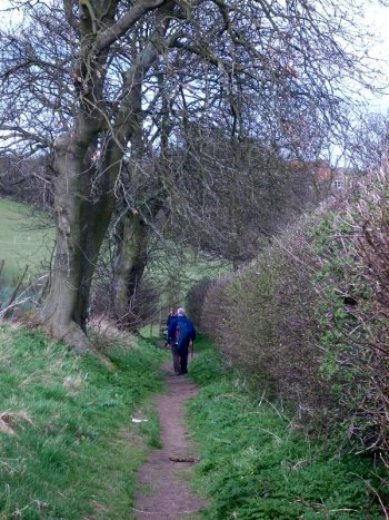
Path leaving Hetchell wood
An interesting theory about the origins of the Pompocali earthworks
is set out on a Pompocali web site at http://pompocaliandhetchell.co.uk/
|
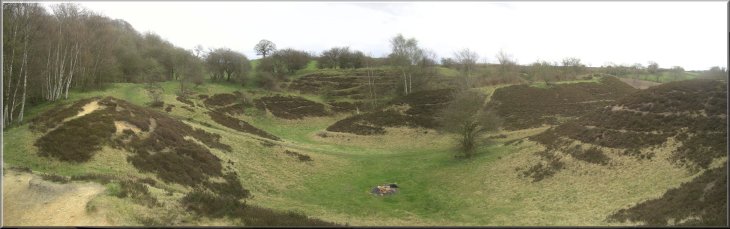
At the Southern edge of the wood they came to Pompocali. This is a
large area of high earthworks built by the Romans at the side of the
Roman road going from York via Bramham and Adel to Ilkley.
Path following the course of the Roman road
|
|
Heading for Stubbing Moor Plantation
More woodland flowers
Path through Norwood Bottoms
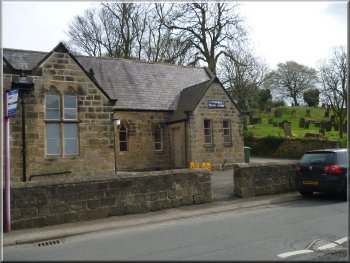
Thorner Parish Centre - a community hall
They walked along Kennels Lane for about 1.5km to map ref. SE382417.
Here they turned left off the lane to follow a footpath across Norwood
Bottoms and Milner Beck to the road at map ref. SE379409. At the road
they turned left to walk down the road into the centre of Thorner.
|
From Pompocali the group followed the public footpath up through the
woods to cross a minor road at map ref. SE379422 and then along the
Roman road for a few hundred metres before bearing right and following
the path through Stubbing Moor Plantation to a track at map ref. SE392426.
They turned right to walk along the track and then make a large arc
on the footpath through Ragdale Plantation to the start of Kennels Lane
at map ref. SE393421.
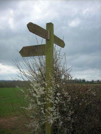
Blackthorn flowers around the signpost
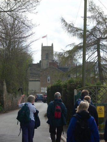
Approaching the church in Thorner
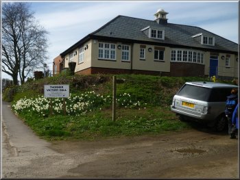
Thorner Victory Hall - a community centre
|
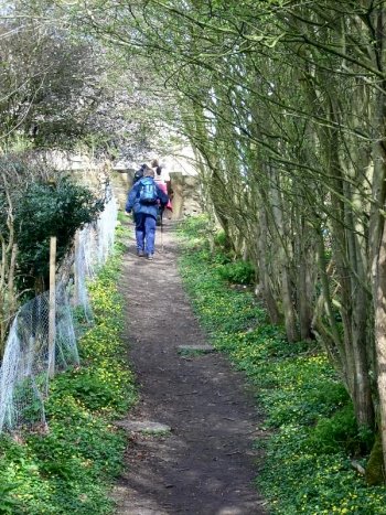
The Leeds Country Way leaving Thorner |
|
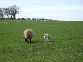
New lambs are everywhere now
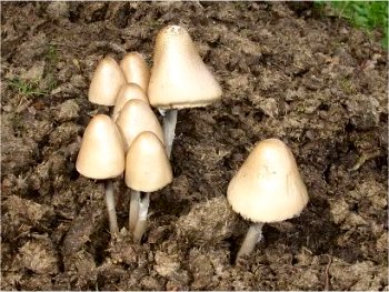
Hard to identify but these could be Tawny Grisette
|
Beyond the church they followed the road round to the right and after
another 150m they turned right opposite the Mexborough Arms. Here they
had joined the route of the 'Leeds
Country Way' and after about 200m where the road turned left the
Leeds Country way kept straight on across the fields. The group followed
the Leeds Country Way route for a little over 3km.
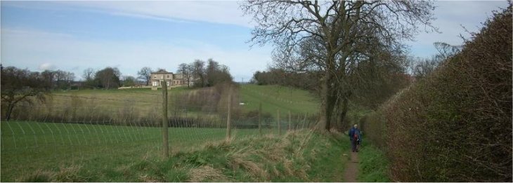
Leeds Country Way heading back to Bardsey
|
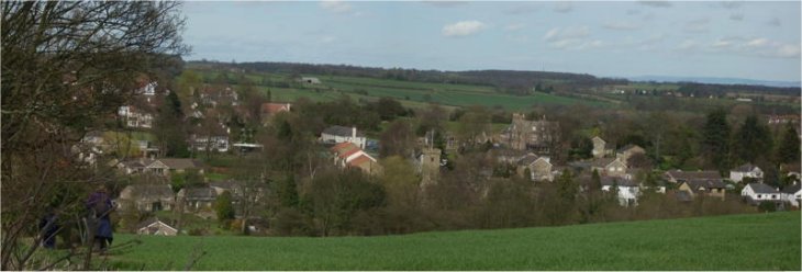
Bardsey seen from the Leeds Country Way |
|
They followed the Leeds Country Way through Scarcroft Hill across
the A58 and back to the church in Bardsey to complete the circuit to
the Bingley Arms car park.
Leeds Country Way heading back to Bardsey
|
Leeds Country Way heading back to Bardsey
Leeds Country Way heading back to Bardsey
|
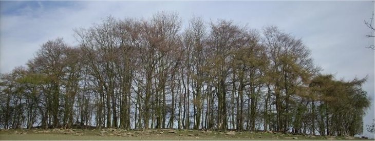
Stand of trees - a la Hockney?(His huge painting of trees was in York Art
Gallery when we did this walk) |
|
Leeds Country Way approaching Bardsey
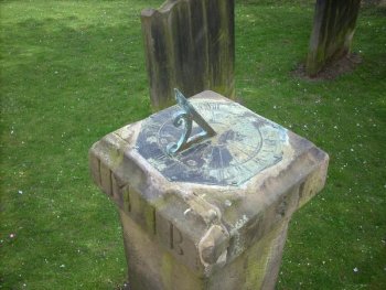
Sundial at Bardsey church
|
They arrived there a bit sooner than I expected and I was still enjoying
my pub lunch when they arrived, much to their amusement as I have a
reputation for enjoying my food rather too much.
Leeds Country Way approaching Bardsey church
|
Background Notes:
This walk is a circular route of 11km, about 7 miles, from Bardsey between Wetherby and Leeds. As you drive through Bardsey on the A58 it seems to be just a rather well to do commuter village but there'e a lot more to Bardsey than that. It is steeped in history and was listed in the Doomsday Book of 1086.
Our walk starts at the Bingley Arms pub. This is claimed to be the oldest pub in England, well it's certainly old dating from the early 900's. It was used as a safe house for catholic priests during the reformation after which it became known as 'The Priests Inn'.
From the pub we walk down the road past the church to the main road. Here we cross the road and follow a pleasant wooded path to Hetchell Wood. This is a nature reserve managed by the Yorkshire Wildlife Trust. It contains diverse habitats because it is sited across the boundary between an outcrop of millstone grit rocks which produce acid soils and an outcrop of limestone which produces alkaline soils, so the wood has a whole range of plants that like the differing conditions created by these two rock types. In the wood there is Hetchell Crag, a gritstone cliff that is popular with rock climbers.
At the end of the wood we go straight on for a few metres and climb up a steep grassy bank. At the top there is an amazing sight. You are looking over the Roman earthworks called Pompocali. These are a series of large mounds arranged in two large arcs and no-one knows why they are here. There are quarries nearby that go back to Roman times and the mounds are constructed of the sandy material that would have been removed from the quarry site to expose the bedrock. But it's far too complex and carefully constructed to be just a spoil heap so what on earth could they have been? No-one seems to know.
From Pompocali we follow a bridleway up the edge of the site roughly along the route of a Roman road. We continue to cross a pretty wooded valley called Norwood Bottoms and on to the village of Thorner which itself dates from pre-Norman times. One of Thorner's claims to fame is that it has no public street lights.
From Thorner we join a route called the Leeds Country Way. This is a circular route of about 100km, a little over 60 miles, around the outskirts of Leeds and through some surprisingly attractive countryside. We follow part of this route for about 3km through Scarcroft Hill and back to Bardsey.
We reach Bardsey through the churchyard of All Hallows church which was built in Saxon times before the Norman conquest. It has been much extended and altered since then but the base of the Saxon tower remains, although it's had some more added on top and part of the Saxon knave is still there too. We return to the Bingley arms pub car at the end of our walk and some refreshments there too if you wish before heading for home.
top of page
|