| 2001 walks | 2002
walks | 2003 walks | 2004
walks |
| 2005 walks | 2006
walks | 2007 walks | 2008
walks |
| 2009 walks | 2010
walks | 2011 walks | 2012 walks |
| 2013 walks | 2014 walks | 2015 walks | 2016 walks |
| 2017 walks | 2018 walks | 2019 walks |2020 walks |
| 2021 walks | 1993-2000 library | Find a Route Index |
| A few Routes to print out | Request a Route... |
Route No. 433 - Wednesday 14 September 2011
Dalby Visitor Centre, Housedale Rigg,
Sand Dale, Thornton Dale circuit - 11km
Dalby Forest, North York Moors . . .
Route map from Ordnance Survey
Open Space service.
Map: OS Explorer OL27 North York Moors Eastern area at 1:25000
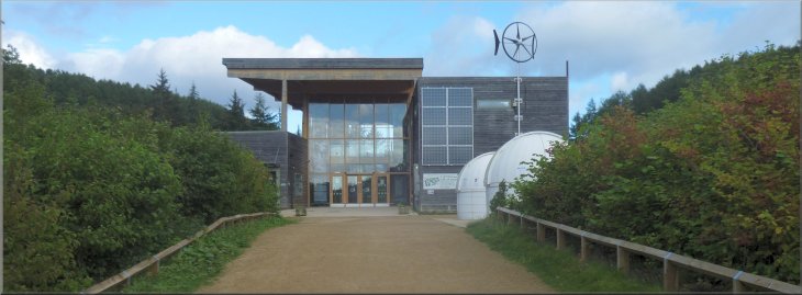
The Visitor Centre in the Dalby Forest |
|
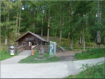
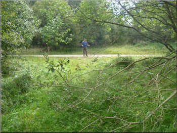
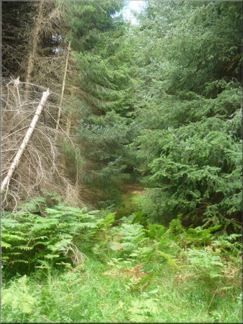
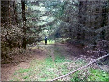
"Go Ape" treetop activity centre in Snever Dale
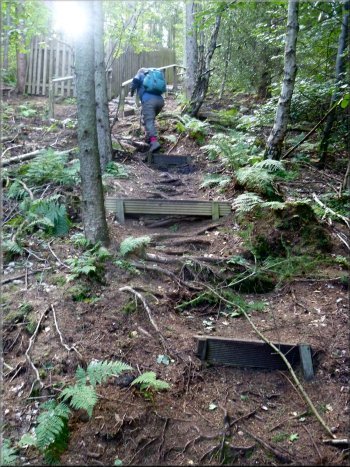
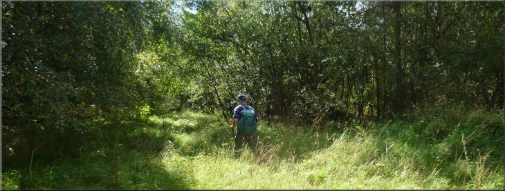
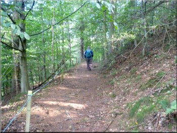
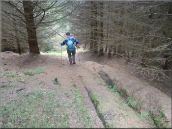
Climbing up to Housedale Rigg from Snever Dale
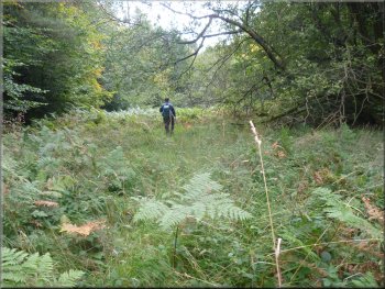
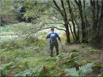
This is the base for the "Go Ape" treetop activity centre. Opposite
the activity centre cabin we turned off the road to follow a path climbing
up the valley side above the end of the zip-wire run. After about 100m
we turned left to double back still climbing to the anchorage of another
of the treetop activities. Here there were some rough steps in the hillside
which led us up to the forest access road along Housedale Rigg at map
ref. SE857878.
|
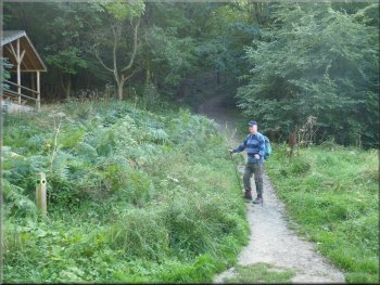
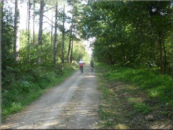
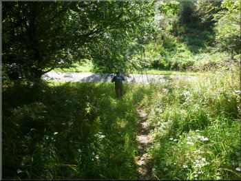
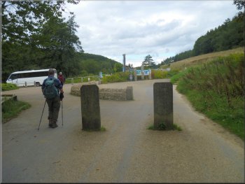
This morning Jim & I drove out to the visitor centre car park in the
Dalby Forest next to Dalby village at map ref. SE855876. It's a toll
road called the Dalby Forest Drive, and the Forestry Commission charge
£7 per car, but the car parks are free (well included in the initial
£7 charge). We started waking at about 10.15am and followed the
road northwards for 200m from the car park to the start of Snever Dale
on our right.
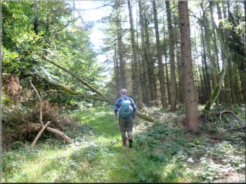
Start of the climb up to Housedale Rigg from Snever Dale
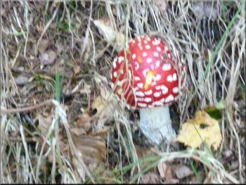
Fly agaric - the fairy toadstool
Climbing up to Housedale Rigg from Snever Dale
|
|
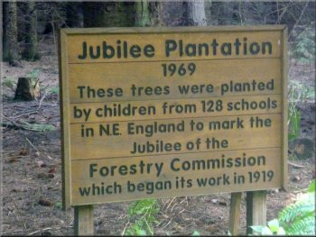
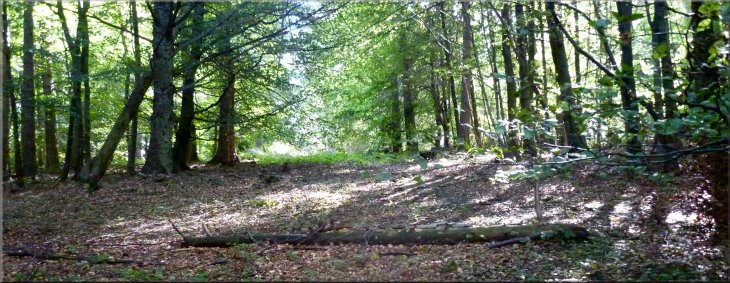
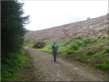
Plantation on Housedale Rigg
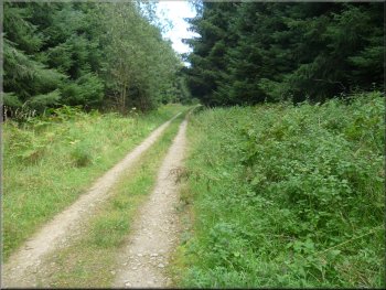
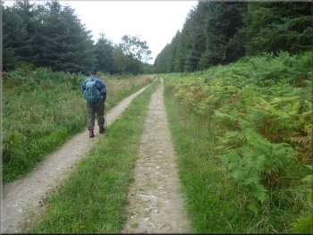
The forest track along Housedale Rigg
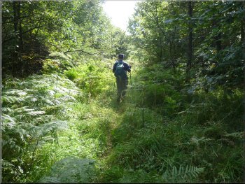
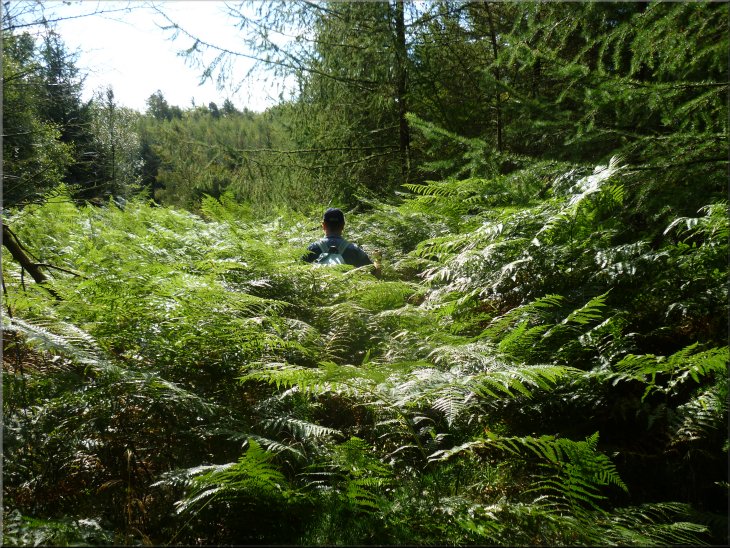
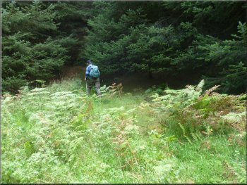
Here we turned right off the forest access road to follow a firebreak
through the forest. The fire break is marked on the OS Explorer map
as a narrow white gap in the green forest area. The gap is not so obvious
on the ground although if you look carefully there is a narrow path
along it.
|
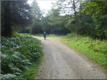
We turned right to follow the access road along the rigg for about
1.4km to map ref. SE869880. We did not see any other walkers but the
forest access road is a well used mountain bike route.
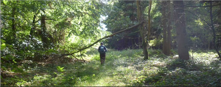
The forest track along Housedale Rigg
The firebreak path from Housedale Rigg
|
Start of the firebreak path from Housedale Rigg |
|
Emerging from the firebreak onto the track in House Dale
And from House Dale we climbed up along the firebreak path to Sutherbruff
Rigg.
|
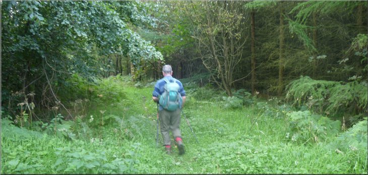
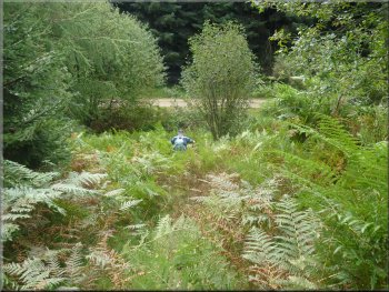
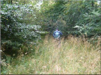
We followed the firebreak across a series of small valleys. First dropping
down into House Dale.
Reaching the track on Sutherbruff Rigg
|
Following the firebreak "path" from Sutherbruff Rigg down to Flax Dale
|
|
Approaching the track in the bottom of Flax Dale
Dropping down into Heck Dale from Flainsey Rigg
Crossing the track in the bottom of Heck Dale
Leaving Heck Dale to start the climb up to White Cliff Rigg
The rough path along the firebreak led us down into Heck Dale and then
climbed up again onto White Cliff Rigg.
|
From Sutherbruff Rigg we dropped down into Flax Dale and came out
onto the forest track in the bottom of the valley at map ref. SE873874
where a track from an old quarry joins the valley track. From here we
climbed up again on to Flainsey Rigg and continued to follow the firebreak
across the rigg.
Leaving Flainsey Rigg on the firebreak path
Looking back up towards Flainsey Rigg from Heck Dale along the route
we had taken on the firebreak path.
The firebreak path up from Heck dale towards White Cliff Rigg
|
|
The firebreak path up from Heck dale towards White Cliff Rigg
The firebreak path up from Heck dale towards White Cliff Rigg
|
|

Looking back along the firebreak path towards Heck Dale from the track
on White Cliff Rigg
Leaving White Cliff Rigg along the firebreak path
Approaching the track in Sand Dale
Passing a clear felled area in Sand Dale
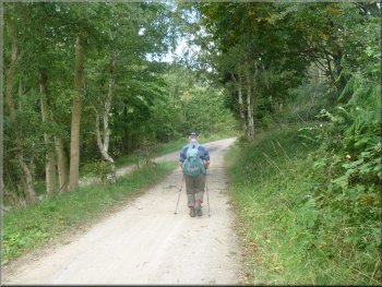
After our lunch we continued to follow the fire break and dropped down
into Sand Dale. Here we turned right to walk along the access track
in the bottom of Sand Dale for about 3km to Thornton Dale. We joined
the track running northwards along Thornton Dale.
|
Where we crossed the access road on top of White Cliff Rigg there
are some conifers where the ground is closely shaded and we sat on a
carpet of dry needles with a tree to provide a backrest for our lunch.
We had been there enjoying the quiet of the forest for about 15 minutes
when a buzzard glided slowly over the tree top directly above us and
disappeared from view.
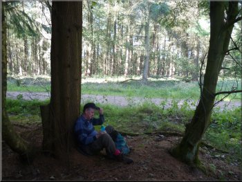
Lunch stop on White Cliff Rigg
Dropping down to Sand Dale from White Cliff Rigg
The track along Sand Dale
Track down Sand Dale joins the track along Thornton Dale
|
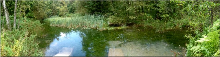
Small pond by the track along Thornton Dale |
|
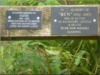
Commemorative plaques in Thornton Dale
Forest track along Thornton Dale
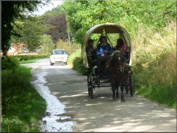
Carriage rides from the visitor centre down Thornton Dale
We continued to follow the track along Thornton Dale and just before
we reached Dalby village we passed a small horse drawn carriage which
provides rides for visitors from the visitor centre car park.
|
After about 1.5km along Thornton Dale we came to a pretty pond on
the right of the track and noticed two commemorative plaques fixed to
the rail around the pond. Both were in memory of pet dogs. You may wish
to share the sentiment in this lovely spot?
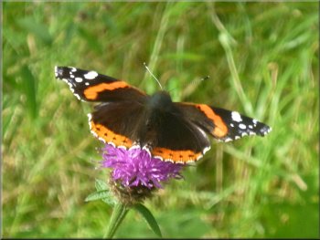
A red admiral butterfly taking nectar from a Knapweed flower
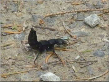
Beetle called a devil's
coach horse
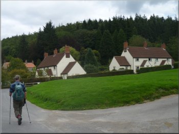
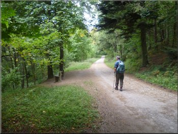
Walking through Dalby village
|
|
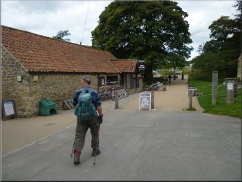
The cycle hire centre in Dalby village
The cafe is a first floor level with an outside terrace and a very
nice view of the surrounding forest. The whole walk was about 11km and
it took us 4 hours to walk including our lunch stop.
|
We walked through Dalby village and back to the car park. When we had
changed out of our boots we made our way to the visitor centre cafe
for a coffee and a toasted teacake to finish the walk off properly.
Leaving Dalby village for the visitor centre car park
|