| 2001 walks | 2002
walks | 2003 walks | 2004
walks |
| 2005 walks | 2006
walks | 2007 walks | 2008
walks |
| 2009 walks | 2010
walks | 2011 walks | 2012 walks |
| 2013 walks | 2014 walks | 2015 walks | 2016 walks |
| 2017 walks | 2018 walks | 2019 walks |2020 walks |
| 2021 walks | 1993-2000 library | Find a Route Index |
| A few Routes to print out | Request a Route... |
Route No. 436 - Friday 7 October 2011
Sinnington, Appleton-le-Moors,
Cropton, River Seven circuit - 10km
North York Moors . . .
Route map from Ordnance Survey
Open Space service.
Map: OS Explorer OL26 & OL27 North York Moors Western & Eastern
areas respectively - the route overlaps the join between these two maps.
Another pleasant, interesting walk contributed by Ray Brown
- thanks Ray!
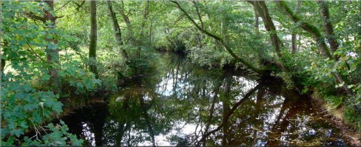
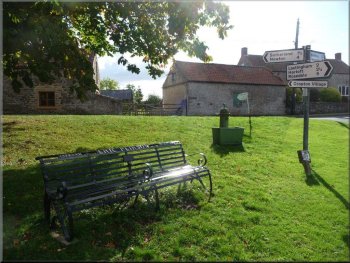
Sinnington and River Seven |
|
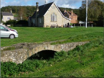
Miniature bridge and village hall at Sinnington
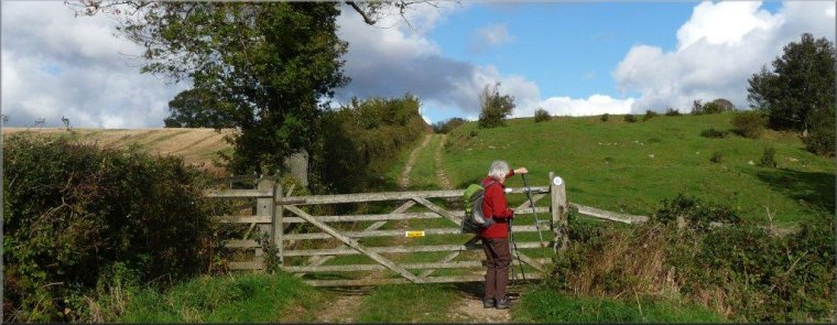
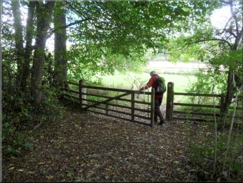
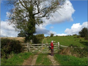
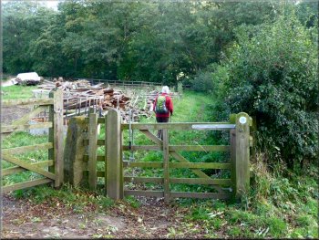
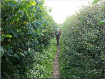
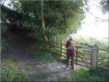
The small gate at SE 738864 into the woods
The well-signed track known as "The Stripe" led us through a farm gate
to a 90° left turn corresponding to a similar bend in the river.
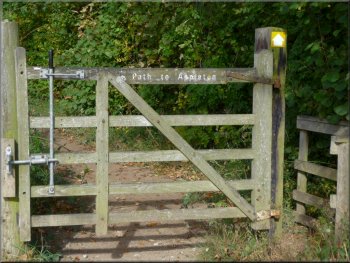
Here the track was carpeted with acorns and at SE 738864 a small gate
with the notice "Path to Appleton" on the right of the track accessed
a narrow route through woodland initially some 20 metres above the river
on our right. Emerging from the woodland through a farm gate the bridleway
continued across a field.
|
With its weather forecast to be the best of the week, today was not
to be missed. We chose a gentle circuit around these three delightful
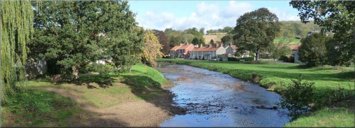
villages. We parked at the East side of the River Seven on Sinnington
village green by a miniature nonfunctional packhorse bridge. We began
our walk by crossing the old stone bridge which spans the river and
then turning sharp right to proceed North along its West bank. A bridleway
runs from Sinnington to Appleton.
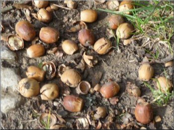
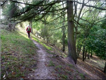
A carpet of acorns
Emerging from the woodland heading for Appleton
|
|
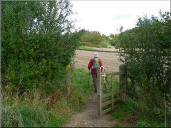
A small gate to a farm track to Appleton-le-Moors
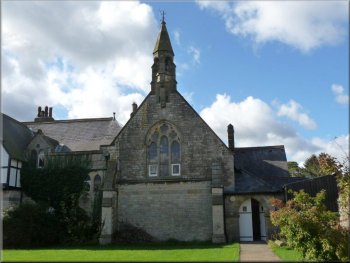
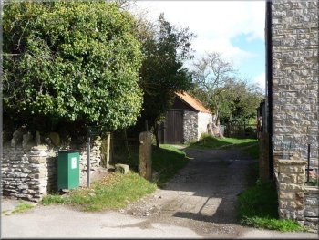
Village Hall at Appleton-le-Moors
Continuing up Headlands Road in the village for some 220 metres we
turned right at a "Public Footpath" sign, obscured by foliage.
|
Some 130 metres ahead we reached a small gate and turned left on to
a farm track which, after 3 farm gates and 800 metres, reached Appleton-le-Moors.
The farm track to Appleton-le-Moors
Public footpath sign obscured by foliage
|
|
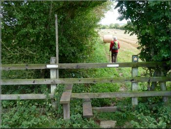
The path leaving Appleton-le-Moors
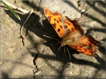
Comma butterfly
Red Admirals were especially active in the sunlight along with some
Commas and the occasional Small Tortoiseshell. After some 0.6 km we
entered woodland at SE 743881 where a winding path took us down to turn
right and join the route of the Tabular Hills Walk on a narrow metalled
road.
|
In 100 metres the path reached a track where we turned left for only
30 metres before crossing a stile on our right to resume our previous
direction. As we walked through the newly-harvested field with a hedge
on our left.
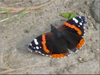
Red Admiral

Entering woodland at SE 743881
|
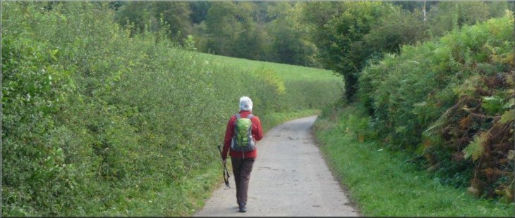
We joined the route of the Tabular Hills Walk along this lane |
|
Leaving the farm access road to cross the River Seven
Over the footbridge we turned left on to the bridleway Mill Bank Low
Lane which we would follow for a mile through 3 gates to the Rosedale
Abbey to Wrelton road.
|
Where, some 250 metres further on, this road bent sharply right into
a farm we took to a path on the left and crossed the River Seven using
a substantial footbridge.
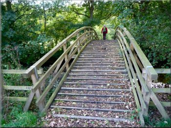
Footbridge over the River Seven
|
River Seven near Appleton Mill farm |
|
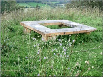
Memorial bench on the summit of the motte at Cropton
A path around the back of the church led us to the site of an 11th
century motte and bailey castle. On the summit of the mound was
a fine memorial bench; an ideal spot to look out over the countryside
whilst having lunch.
|
Turning right on to a narrow footpath we climbed quite steeply alongside
the road for 250 metres where the Tabular Hills Walk leaves the road
at a right bend to use a track on the left which leads to the Church
of St Gregory in Cropton.
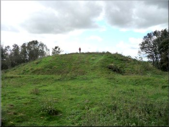
Remains of the Motte & Bailey castle at Cropton
|
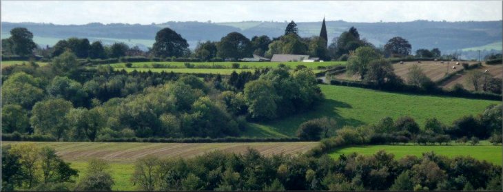
Appleton church from our lunch spot on the summit of the motte at Cropton |
|
Rejoining the Wrelton road as we left Cropton
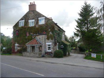
Cropton home brew - micro brewery at the New Inn
Some 150 metres along the road, immediately beyond the brewery, the
Bull Ing Lane bridleway on the right set us on course for Sinnington.
|
Retracing the path to the church we bore right to walk through Cropton
village and at SE 756890 turned right to rejoin the Wrelton road by
a memorial seat and one of the disused village pumps.
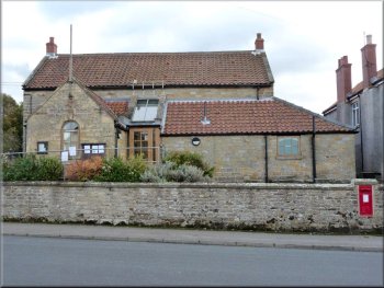
Cropton village hall
Bull Ing Lane leaving Cropton
|
|
Taking the central path at SE 753881 towards Sinnington
In 90 metres a signpost offered a choice of routes to Sinnington: to
the left a bridleway via Church Lane or a footpath straight ahead; we
chose the footpath and then forked left after a further 40 metres before
dropping down to Dark Lane where we turned left into the village to
complete the walk - Ray Brown.
|
After 800 metres, at SE 753881 the central path of three led via a
couple of gates to Wiley Flat Lane which ran for more than a kilometre
along the edge of farmland on our left and a steep, deep wooded ravine
on our right. On emerging from the wood we stayed along the contour
until the bridleway turned right at SE 746866.
Wiley Flat Lane heading for Sinnington
|
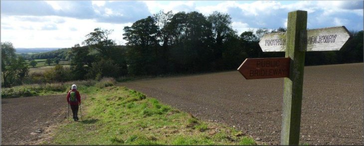
Your choice; left or straight on back to Sinnington |