| 2001 walks | 2002
walks | 2003 walks | 2004
walks |
| 2005 walks | 2006
walks | 2007 walks | 2008
walks |
| 2009 walks | 2010
walks | 2011 walks | 2012 walks |
| 2013 walks | 2014 walks | 2015 walks | 2016 walks |
| 2017 walks | 2018 walks | 2019 walks |2020 walks |
| 2021 walks | 1993-2000 library | Find a Route Index |
| A few Routes to print out | Request a Route... |
Route No. 462 - Tuesday 27 March 2012
Wolsingham, Tunstall Reservoir,
Waskerley Beck circuit - 11km
Wear Dale, Co. Durham . . .
Route map from Ordnance Survey
Open Space service.
Map: OS Explorer 307 Consett & Derwent Reservoir
& Explorer OL31 North Pennines
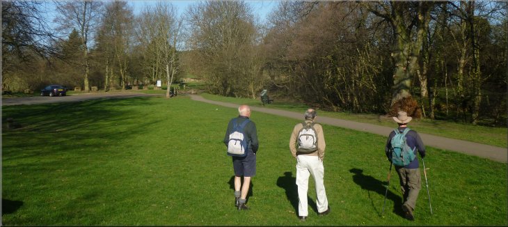
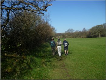
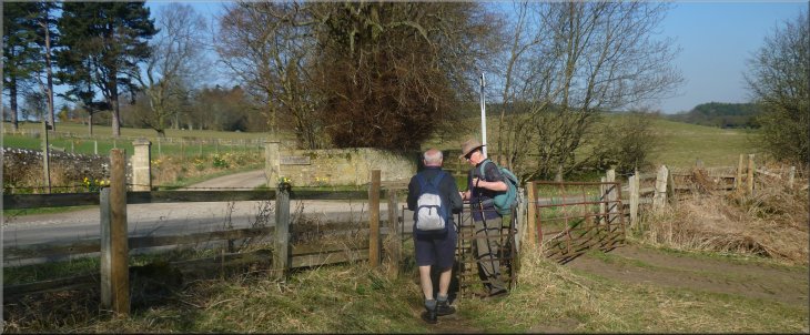
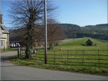
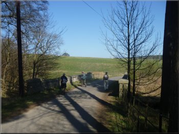
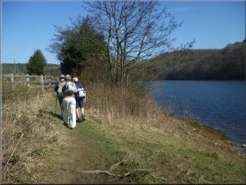
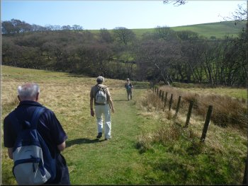
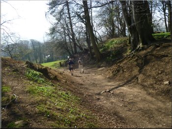
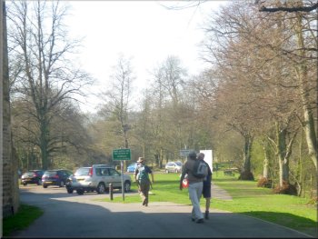
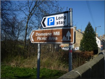
Setting off from the Demesne Mill car park in Wolsingham |
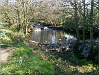
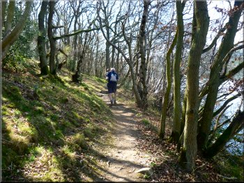
Waskerley Beck by the car park
Footpath by Waskerley Beck
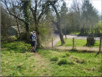
Footpath leading away from Waskerley Beck
My wife's two sisters still live there so their husbands, John &
George are meeting us in Wolsingham for today's walk. We met at the
Demesne Mill car park next to Waskerley Beck at map ref. NZ076375. It
was another perfect day with clear blue skies, warm sunshine and a light
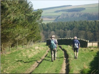
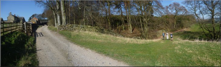
breeze. We set off along the path following the beck upstream. After
about 800m we crossed a tributary called Thornhope Beck, and about 50m
further on the path turned left to follow the hedge line at the edge
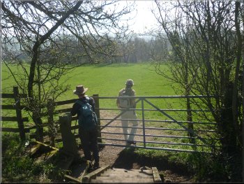
of the field out to a road at map ref. NZ067383. |
My mate, Jim, and I have managed to get our wives to agree to the
two of us having three days walking in Weardale this week. It's an area
that neither of us has walked before so we are looking forward to seeing
some new country. We are staying at the pub in the village of Eastgate
on the River Wear at the confluence with Rookhope Burn. Today is the
second day of our trip to Weardale. My wife comes from the North East.
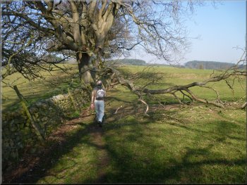
Footpath by Waskerley Beck
The footbridge over Thornhope Beck
The remaining half of an ancient ash tree
|
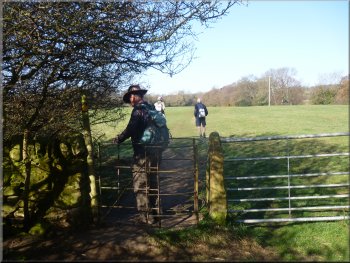
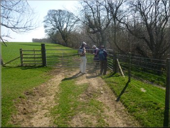
The road at map ref. NZ067383 and opposite the drive to Fawnless Hall |
The path into the fields by Fawnless Hall
Fawnless Hall seen from the footpath
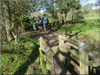
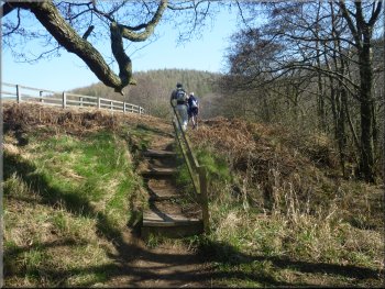
Following the path to Park Wall
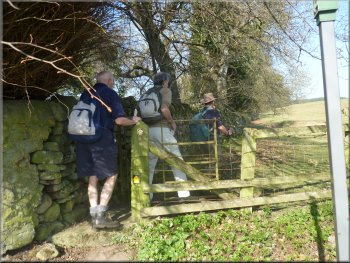
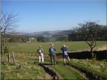
We exchanged pleasantries and they took the path up the drive to the
hall. We took the path climbing up the hillside along the edge of the
fields. We followed this path climbing steadily for about 1.4km to a
ruined farmstead at Park Wall, map ref. NZ056393. |
On the opposite side of the road there was a path up the drive to
Fawnless Hall and just to the right of the drive was a path across the
fields heading straight up the hill side. As we crossed the road two
gentlemen of similar vintage to ourselves were approaching along the
road.
Following the path to Park Wall
Following the path to Park Wall
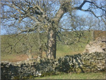
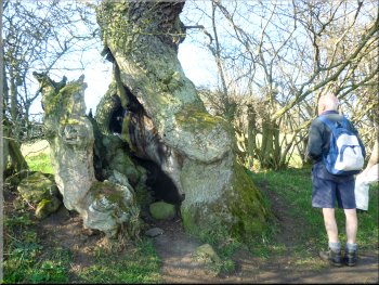
Ash tree by the ruins at Park Wall
|
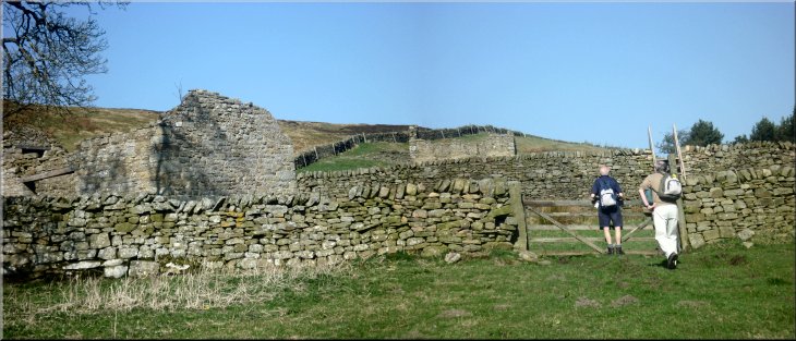
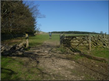
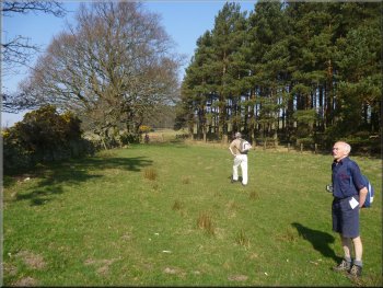
Approaching the ruined farmstead at Park Wall |
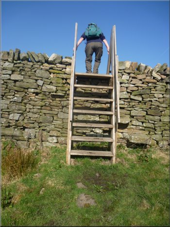
Tall ladder stile to reach the ruined farmstead
The track towards Jofless Cottage
The track through High Jofless farm
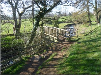
Reaching the road near the dam
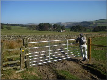
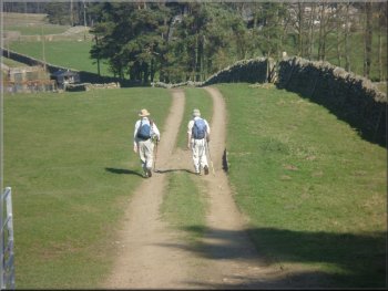
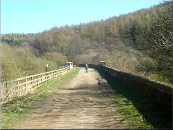
Before we reached the far end of the wood the two gentlemen caught
us up. They were also heading for Tunstall Reservoir but were walking
more quickly than I can manage these days and they disappeared along
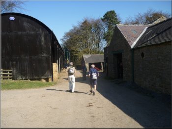
the track ahead of us. We continued along the track to High Jofless
farm. Following the path through the farm buildings we turned right
past some barns then out of the buildings we turned left along the side
of a small wood. All the while the path was descending gently and after
another 600m we came to a road at map ref. NZ063406 near the dam of
Tunstall Reservoir. |
A tall ladder stile over a high dry-stone wall led to the ruin and
a few hundred metres away to the left were the two gentlemen we had
seen at the road also approaching the ruin. Once over the wall we turned
right to follow the path along the edge of some woodland.
Track by the woods towards Jofless Cottage
A first glimpse of Tunstall Reservoir
Two walkers we encountered several times today
The track through High Jofless farm
The Tunstall Reservoir dam
|
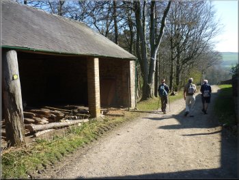
Leaving High Jofless farm and turning to follow the path beside the
wood
Tunstall Reservoir seen from the road
|
The road by the reservoir
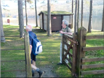
Entering the picnic site
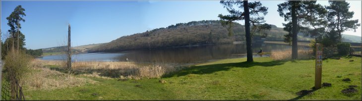
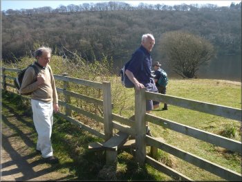
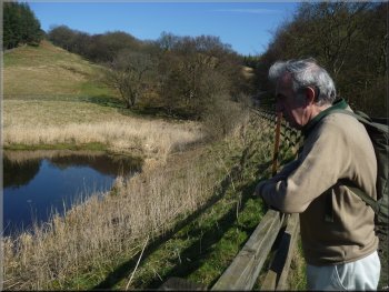
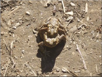
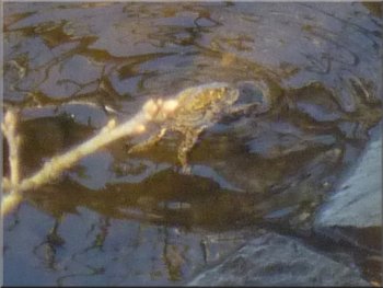
We had a very pleasant break here watching the ducks and geese on the
reservoir and the fly fishermen dotted around its edge. The water was
very clear and George noticed a toad swimming near the edge, which I
tried to photograph. You can tell it's a toad/frog but the photo was
not really successful. |
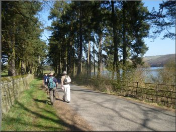
We followed the road past the dam and alongside the reservoir for
about 700m to a picnic site off the right hand side of the road next
to the reservoir. The two gentlemen walkers were already sitting at
a picnic table enjoying both their lunch and the scenery in the spring
sunshine.
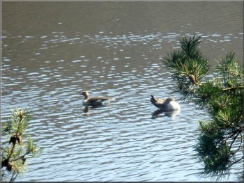
Greylag geese on the reservoir
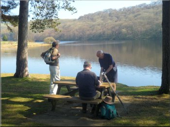
Lunch by the reservoir
|
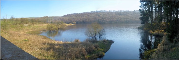
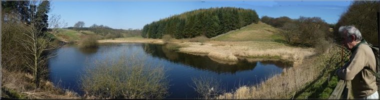
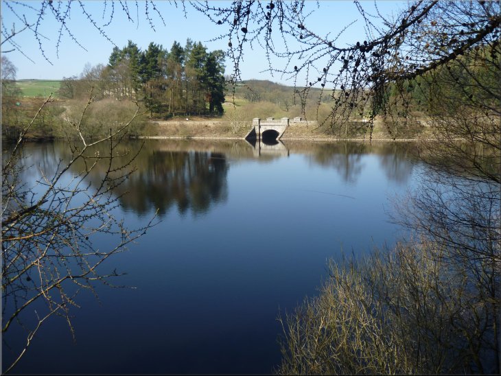
Tunstall Reservoir |
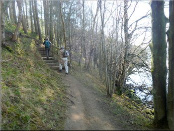
Following the road from the picnic site
The path around the reservoir
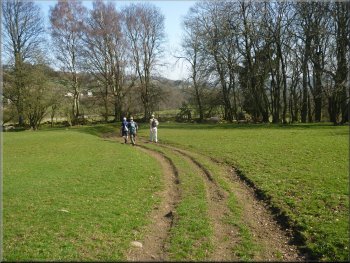
The track across the head of the reservoir
The path led us to a track crossing the head of the reservoir. The
small lake to the left of the track is kept as a nature reserve and
we leaned on the bridge parapet for a while to watch the birds on the
water that included a pair of great crested grebes. |
After our lunch we set off again along the road around the reservoir
and we did not encounter the other two walkers again. After a few hundred
metres we crossed a stile on the right to walk along a path around the
edge of the reservoir.
Leaving the road for the path round the reservoir
The path around the reservoir
Nature reserve at the head of the reservoir
|
A perfect day at the head of Tunstall Reservoir |
Path along the reservoir back to the dam
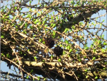
Larch tree coming into leaf
Path along the reservoir back to the dam
A little further on we saw another toad swimming in the clear water
at the edge of the reservoir so it seems to be a successful breeding
ground for toads. We followed the path down the length of the reservoir
and about 200m before we reached the dam the path began to climb. |
We turned off this track to follow the footpath down the other side
of the reservoir and after about 100m we came across a large female
toad on the path carrying the much smaller male toad on its back towards
the water's edge.
A pair of toads heading for the water
Path along the reservoir back to the dam
Toad swimming near the water's edge
|
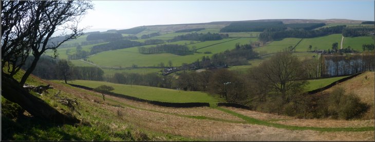
Looking across the Tunstall Valley from the path near Backstone Bank farm |
The steep climb up to Backstone Bank farm
The gully about 1km from Backstone Bank farm
Instead we turned right at the farm to follow a track along the valley
side at a fairly constant height. After about a kilometer the path crossed
a little wooded gully and we found a place to sit for a drink before
continuing on our way. We followed the path for about 1.5km across the
fields to Baal Hill House farm at map ref. NZ074385. |
We joined a track part way up the wooded hillside and followed the
track climbing steeply to Backstone Bank farm at map ref. NZ069408.
From the farm there is a path heading straight up the hillside that
John would have liked to use but it crossed far too many contour lines
for my liking.
The path from Backstone Bank farm
Heading for Baal Hill House farm
|
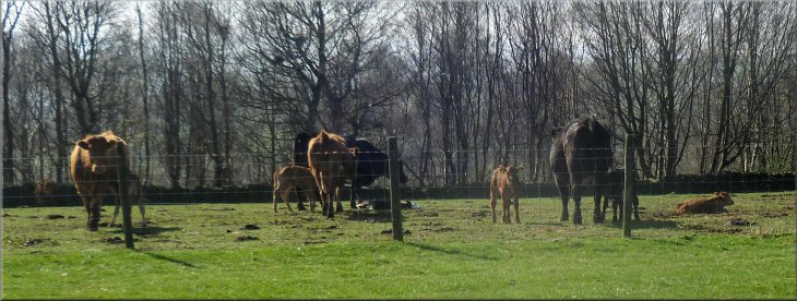
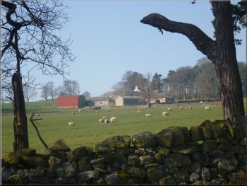
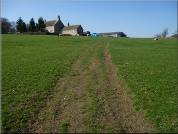
Cows and young calves at Baal Hill House farm |
The track towards Wolsingham from Baal Hill Ho farm
The track towards Wolsingham from Baal Hill Ho farm
Path off the road back into Wolsingham
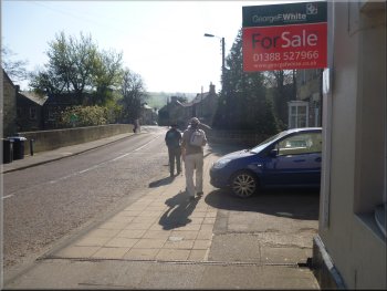
Returning to the Demesne Mill car park
We followed the road for about 100m across Waskerley Beck and turned
into the Demesne Mill car park where we had started. The whole route
had been 11km and it had taken us almost five hours to walk including
our stops. John & George headed home and Jim & I headed for
our pub lodgings for a shower, a few pints and a nice pub meal. |
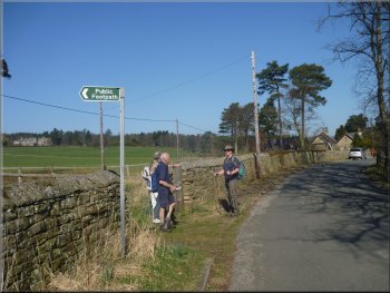
The path skirted around the farm and then headed down the hillside
to a minor road on the edge of Wolsingham at map ref. NZ076378. At the
road we turned right and walked along the road for about 50m. Here we
turned left off the road on to a path across the fields to the road
in Wolsingham.
Looking back to Baal Hill House farm
Reaching the road at the edge of Wolsingham
Road bridge over Waskerley Beck in Wolsingham
Returning to the Demesne Mill car park
|