| 2001 walks | 2002
walks | 2003 walks | 2004
walks |
| 2005 walks | 2006
walks | 2007 walks | 2008
walks |
| 2009 walks | 2010
walks | 2011 walks | 2012 walks |
| 2013 walks | 2014 walks | 2015 walks | 2016 walks |
| 2017 walks | 2018 walks | 2019 walks |2020 walks |
| 2021 walks | 1993-2000 library | Find a Route Index |
| A few Routes to print out | Request a Route... |
Route No. 488 - Tuesday 18 September 2012
Ellington Firth wood, High Ellington, Ellingstring, Jervaulx Abbey, Kilgram
Grange circuit - 12km
Wensleydale . . .
Route map from Ordnance Survey
Open Space service.
Map: OS Explorer 302 Northallerton & Thirsk
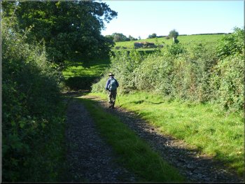
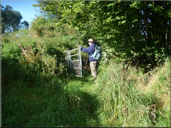
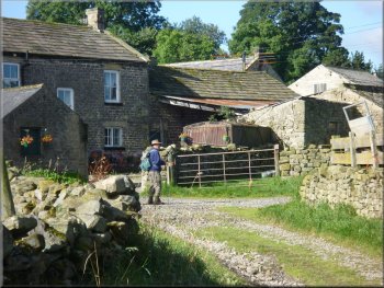
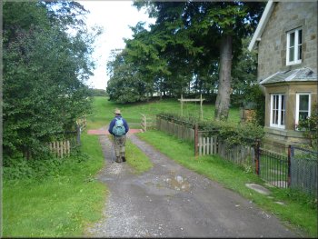
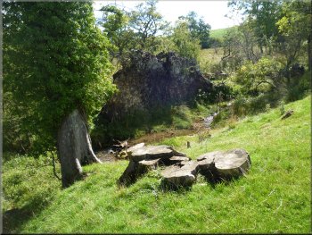
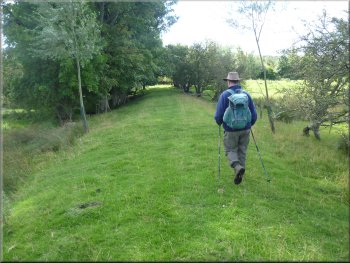
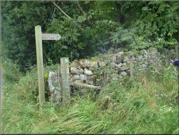
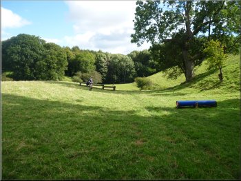
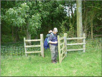
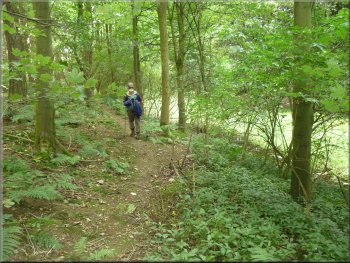
Setting off from the car park In Ellington Firth Wood |
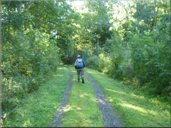
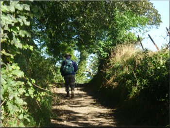
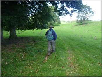
The track up through Ellington Firth wood
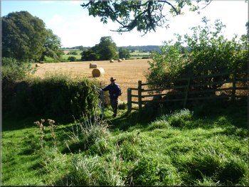
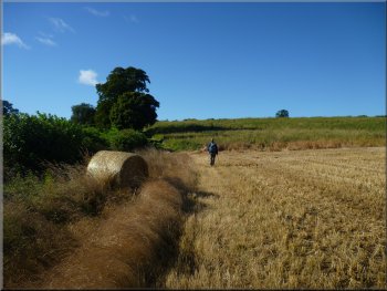
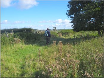
About to cross the harvested field
Walk along the hedgerow to the end of the field
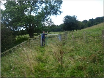
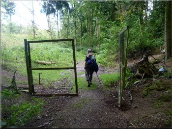
Through the gate we turned left and crossed the corner of the field
to a pedestrian gate through the hedge into a field where the cereal
crop had just been harvested. We continued across the field between
the round bales of straw on the line of the public footpath although
there was no defined path on the ground. At the far side of this field
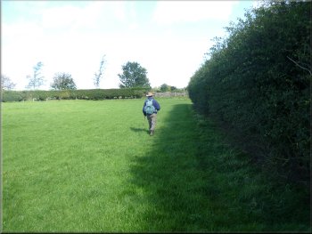
we turned right to walk along the hedgerow to the end of the field.
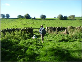
We continued along the side of some rough pasture land to go through
an overgrown pedestrian gate at the end of the field. This gate led
us onto a track at the edge of High Ellington which we could see across
the field on our left. |
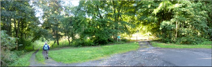
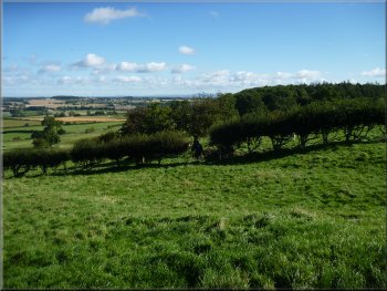
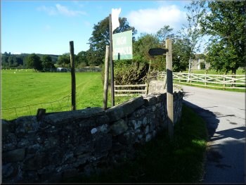
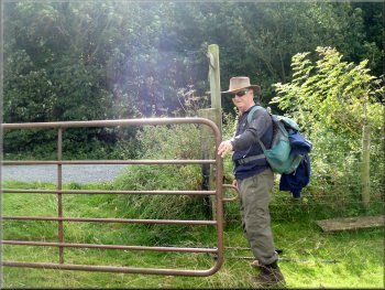
This morning my mate, Jim, and I drove into Wensleydale and parked
off the A6108 at Ellington Firth wood, map ref. SE192842 about 5km up
the valley from Masham. There are two tracks into the wood from the
car park and we took the public footpath along the left hand track.
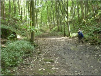
It was a fine sunny day with a cool breeze and it was a very pleasant
start to the walk along the grassy track through this attractive mixed
woodland. The track climbed steadily for about 300m to the southern
edge of the wood. Here the track turned right to continue along the
south side of the wood but we turned left off the track to go through
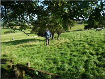
a gate into a field.
Gate to the fields from the edge of the wood
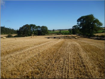
The harvested field with no visible path
Going through an overgrown pedestrian gate
|
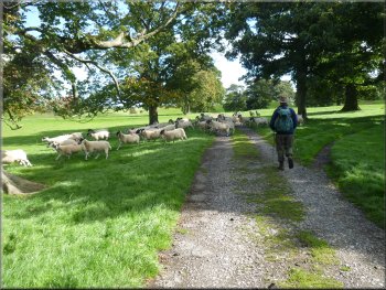
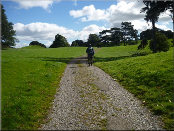
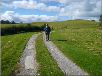
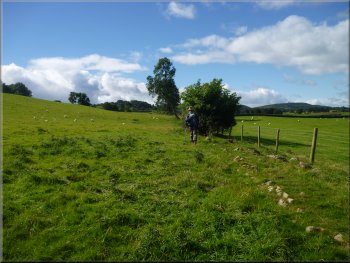
Following the track down to a left hand bend
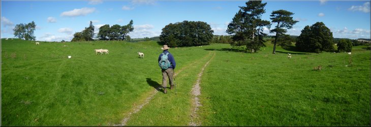
Following the public bridleway across the fields
The bridleway to Ellingstring
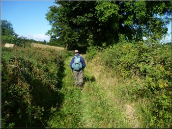
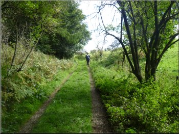
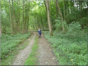
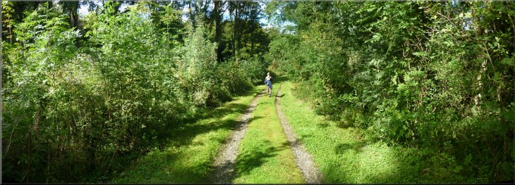
We continued along this track for about 2km to the edge of the village
of Ellingstring. It was a very pleasant route with views back as far
as the North York Moors to the east and across Wensleydale to the north.
|
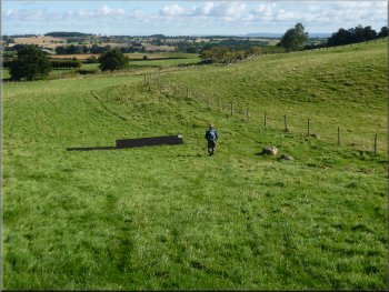
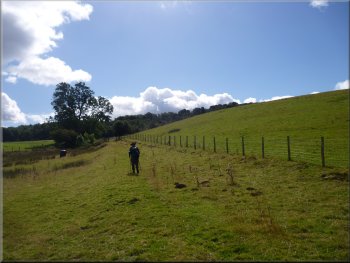
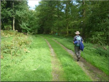
We followed the track down a slope to a left hand bend. On the crown
of the bend we turned right to follow a public bridleway across the
fields.
Following the public bridleway across the fields
The bridleway to Ellingstring
The bridleway to Ellingstring
|
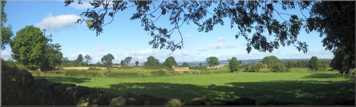
Looking east towards the North York Moors from the bridleway to Ellingstring
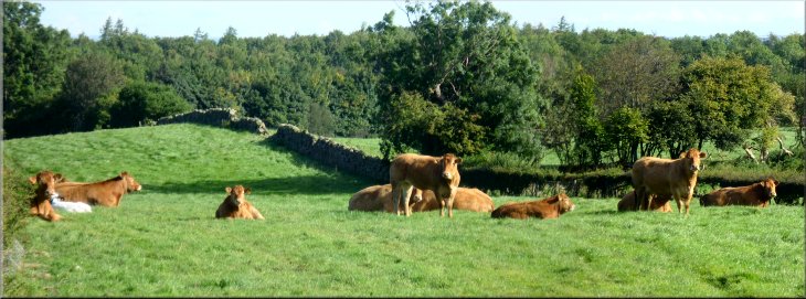
Limousin cattle by the bridleway to Ellingstring
|
Turning right on the edge of Ellingstring
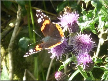
Red admiral butterfly on thistles by the path
The track out of Ellingstring
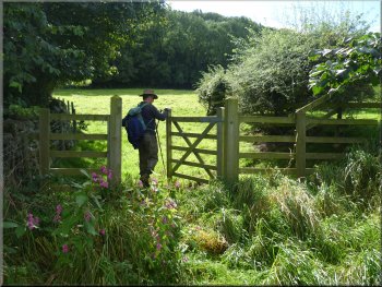
At this bend we continued straight on through a field gate. We followed
the path through some rough grassland across the corner of the field
to a pedestrian gate through a wall into the next field. |
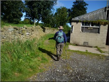
At the first buildings we encountered at the edge of the village
we turned right along another track heading north between the hedges.
About 350m along this track there was a bend to the right into a field.
Turning right on the edge of Ellingstring
Texel tupps ready for the autumn
Our path is straight ahead through the gate
|
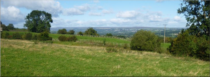
Looking north across Wensleydale |
Our path turns off the track here
The path goes through the gap in the hedge
Through the gap in the hedge the right of way continues along the line
of some old hawthorn trees that must have been a field hedge at some
time in the past. |
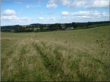
Here there was no defined path on the ground but we continued diagonally
across the field on the line of the public right of way. There was a
good landmark tree ahead and the path goes to a gap in the hedge about
25m south of this tree.
Head a little to the right of the large tree ahead
The path follows the line of old hawthorn trees
|
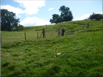
The path follows the wire fence
Heading for the tall ladder stile
Following the hedge to the road
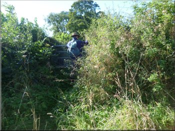
We climbed over the ladder stile and followed the hedge on our right
along the field edge to the road at map ref. SE180848. The stile has
been blocked off by a wooden hurdle to keep the sheep in but it can
be lifted aside and replaced if you wish, but the stile is a few metres
to the left of a field gate onto the road. |
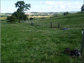
The right of way drops down across this field to a wire fence and
continues down the slope following the fence. There are jumps for horses
on a cross country route over these fields and there are green arrows
indicating the route the riders should take. (These are not footpath
signs). We continued along the fence line to a substantial tall ladder
stile (map ref.SE180845) over a wall on the left where the field narrows
at the bottom of the slope.
The path follows the wire fence past the horse jump
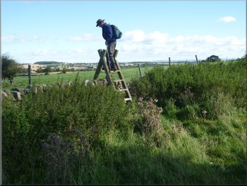
Crossing the tall ladder stile
The stile out to the road (A6108)
|
Passed by a 1930's convertable as we walked along the main road |
Approaching our turning off the main road
Looking back over the cattle grid to the main road
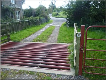
This is a public right of way along a track across Jervaulx Park. I
did not notice any signs on the road side of our route but there is
a footpath sign on the far side of the cattle grid as you look back
towards the road. |
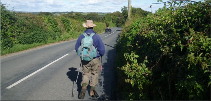
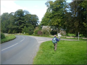
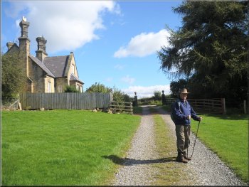
The road is the A6108 and we turned left to walk along the road for
about 400m to a junction on the edge of Jervaulx Park. At the junction
we went straight ahead over a cattle grid next to a stone cottage.
Track off the main road past a stone cottage
Following the track across Jervaulx Park
|
Following the track across Jervaulx Park
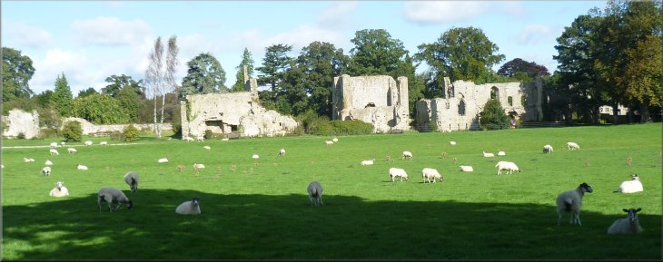
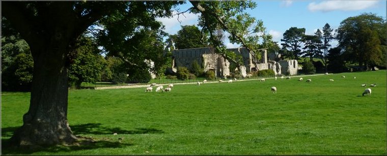
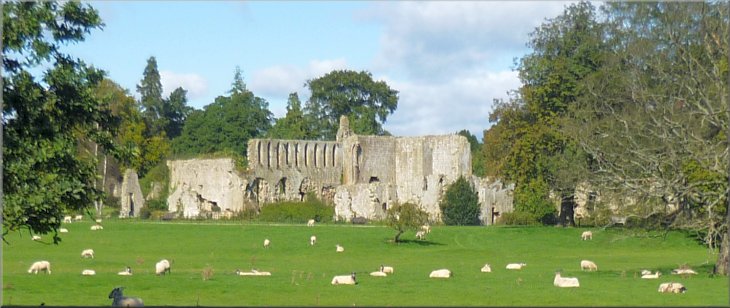
The ruins of Jervaulx Abbey seen from the track across Jervaulx Park
|
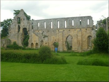
The ruins of Jervaulx Abbey
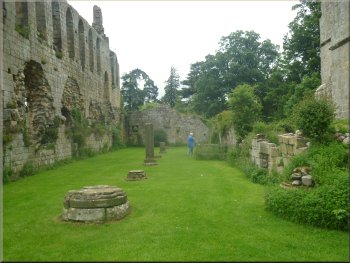
The ruins of Jervaulx Abbey
We followed a path into the ruins of Jervaulx Abbey. We found a seat
amongst the ruins to sit in the sunshine for our lunch break. |
We followed the track across the park land almost to the road again
but just before we reached the road we turned sharp right.
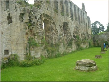
The ruins of Jervaulx Abbey
The ruins of Jervaulx Abbey
|
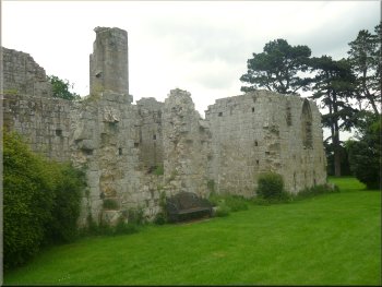
The ruins of Jervaulx Abbey seen from Jervaulx Park as we left after our
lunch break |
Base of a support to a vaulted roof well away from the other ruins
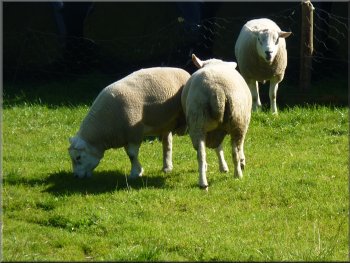
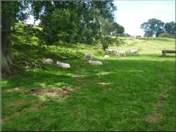
Sheep fleeing from a loose dog
Approaching the road at the gate house
The dog turned away from us and ran out to the edge of the park near
some cottages and we didn't see it again. At map ref. SE173855 there
is a fork in the track. We took the left hand fork and followed the
track past a pretty pond on our left to the gate house at the edge of
the park at map ref. SE184855. Here we joined a minor road. |
After our break and a look at the ruins we retraced our steps across
Jervaulx Park. On the way we could hear a dog barking and then we saw
a black dog, a bit smaller than a labrador, barking and chasing the
sheep across the park. The flock galloped across the track just in front
of us.
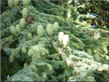
Large flat topped cones of a blue atlas cedar at the abbey
Track though the park to the gate house
Walking along the road away from the gate house
|

Pretty pond in Jervaulx Park by the track |
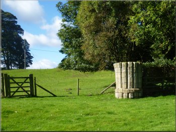
Turning off the road near Kilgram Grange
Large fallen tree root by the path
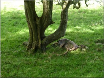
Desiccated sheep carcass by the path
Turning off the drive to a track across the fields
We walked along the access drive away from the house for about 150m
and here we turned left off the track to go through a pedestrian gate
to a track across the fields. |
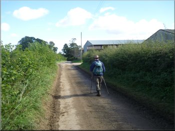
We walked along this minor road for about 600m almost to Kilgram
Grange. Just before this farm we turned right off the road on to a bridleway
across the fields. We followed the bridleway for about 600m to a house
called 'Ramshaw'.
Bridleway heading for Ramshaw house
Bridleway heading for Ramshaw house
Following the drive away from Ramshaw house
Looking back along the track to Ramshaw
|
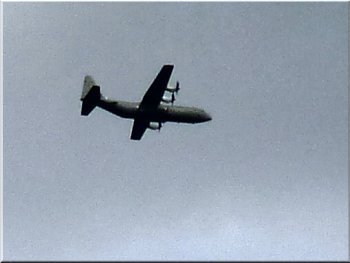
Military transport plane on low flying exercise
Following the track across the field to the main road
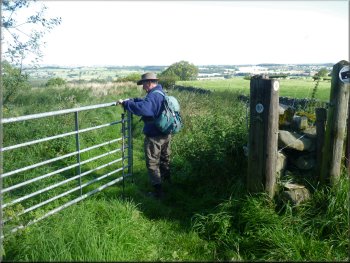
Gate onto the main road
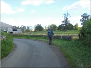
At the road we turned right and walked about 30m to then turn left
off the main road on to a public footpath. |
We followed this track across the fields for about 700m to the main
road (A6108) at map ref. SE185846.
Following the track across the field to the main road
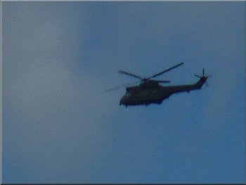
Military helicopter on an exercise overhead
Our turning off the main road
|
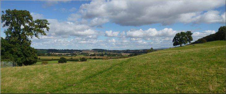
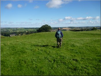
Looking north over Wensleydale as we climbed up the hillside |
Leaving the main road for the path over the fields
Climbing up the hillside towards Ellington Firth wood
Our route along the field edge to Ellington Firth wood
We tuned left though the field gate along a public footpath. Again
there's no defined path on the ground. We made our way along the edge
of the field in a hollow for about 200m, passing a couple of horse jumps
to reach the edge of Ellington Wood at map ref. SE181842. |
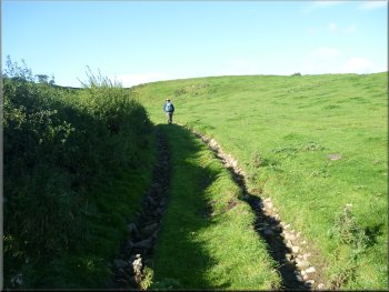
This footpath led us across the fields for about 400m to join the
path we had used on the outward leg of our walk near the tall ladder
stile (map ref. SE180845) From here we followed our outward route for
about 200m climbing up the hillside to map ref. SE179843. Here there
is a field gate in the fence about 50m above one of the cross country
horse jumps that crosses the same fence.
Climbing up the hillside towards Ellington Firth wood
Our route goes through this gate
Looking back along our route by the edge of the field
|
Gate into Ellington Firth wood
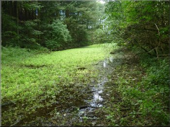
Overgrown pond in Ellington Firth wood
Track through Ellington Firth wood
Track along the southern edge of Ellington Firth wood
We continued along the track back to the car park and the end of the
walk. The whole route had been about 12km and it had taken us four and
a half hours to walk including our stops. On the way home we had a pleasant
break for a coffee at the cafe in the Black Sheep Brewery visitor centre
in Masham. |
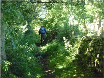
We followed the path through the wood and passed a long, narrow over
grown pond on our right. Beyond the pond the path followed a track through
the wood and about a kilometer from the overgrown pond we came to the
bend in the track where we had turned off to High Ellington at the start
of the walk.
Path through Ellington Firth wood
The path goes through a pheasant rearing pen
Track through Ellington Firth wood
Track through Ellington Firth wood
|
Track through Ellington Firth wood almost back at the car park
|
Background Notes:
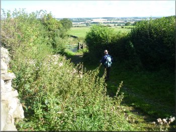
This walk is a circuit route of 12km, a little under 8 miles in Wensleydale, starting from a car park in Ellington Firth wood off the A6108 about 5km up the valley from Masham. Ellington Firth wood is a substantial block of attractive mixed woodland that seems to be used mainly for rearing pheasants. There are plenty of bluebells here in the spring but now at the start of autumn the low sun helps to pick out the yellowing of the leaves with the promise of a colourful season to come.
We follow a grassy track up the eastern side of the wood. The track continues across the fields beyond the wood to the edge of a village called High Ellington and from there we head west following a track towards a village called Ellingstring. The track is high enough above the valley to give some lovely views north across Wensleydale and eastwards to the hills of the North York Moors on the horizon. Over the high moorland to the south of here is Nidderdale and this walk lies just inside the northern boundary of the Nidderdale Area of Oustanding Natural Beauty, and in my opinion it really does deserve its place. It's an odd fact that this part of Wensleydale is outside the Yorkshire Dales National Park which stops at East Witton about two & a half kilometers west of Jervaulx Abbey.
The village of Ellingstring is well away from any busy through route, a very tranquil spot tucked away in this pretty part of lower Wensleydale. From the village we head north across the fields back to the main road along the valley. We walk about 300m along the main road to Jervaulx Park. Here we follow a grassy track through this parkland for about a kilometer to Jervaulx Abbey. This was a Savigniac abbey built in the 1150's to relace an earlier abbey at Fors, Bowbridge, further up the valley, about a mile west of Askrigg and just across the river north from Bainbridge. There was a bit of a power struggle in the mid 1100's and the Savigniac order came under the rule of the Cistercian order.
Jervauls Abbey prospered under the jurisdiction of Byland Abbey and became renowned for the breeding of horses. This is something that this part of Wensleydale is still famous for today. The other great legacy from the monks of Jervaulx Abbey is of course the delicious crumbly white Wenslydale cheese. The last Abbot at Jervaulx was Adam Sedbergh who was hanged at Tyburn for his part in trying to re-occupy the abbey after the dissolution in the 1530's.
We cross Jervaulx Park again to leave by the gate house at the north east corner of the park and follow the lane to Kilgram Grange. A monastic grange was a farm owned by the monastery but not run by the monks. It was managed for food production for the benefit of the monastery. About 200m further on is Kilgram Bridge over the River Ure. The bridge is about 500 years old and worth a visit if you're interested in ancient structures.
Just before Kilgram Grange we turn off the lane and follow a bridleway across the fields to the main road along the valley again. We cross the road and climb up through the fields to the top edge of Ellington Firth wood. Here we follow a pretty path along the southern edge of the woodland and back to the car park at the end of our walk.
top of page
|