| 2001 walks | 2002
walks | 2003 walks | 2004
walks |
| 2005 walks | 2006
walks | 2007 walks | 2008
walks |
| 2009 walks | 2010
walks | 2011 walks | 2012 walks |
| 2013 walks | 2014 walks | 2015 walks | 2016 walks |
| 2017 walks | 2018 walks | 2019 walks |2020 walks |
| 2021 walks | 1993-2000 library | Find a Route Index |
| A few Routes to print out | Request a Route... |
Route No. 501 - Tuesday 5 March 2013
Knaresborough, Harrogate Ringway, Nidd Gorge
Nidderdale Greenway circuit - 11km
Nidderdale . . .
Route map from Ordnance Survey
Open Space service.
Map: OS Explorer 297 Lower Wharfedale & Washburn Valley
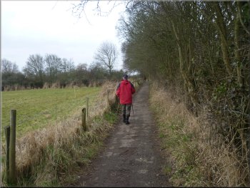
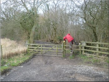
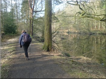
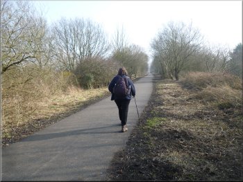
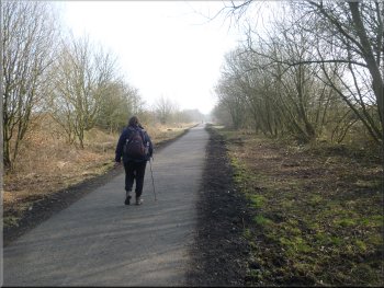
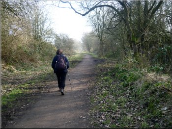
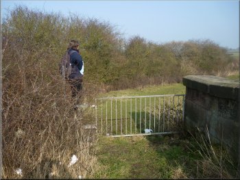
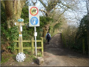
Joining the Harrogate Ringway off the A59
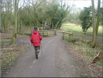
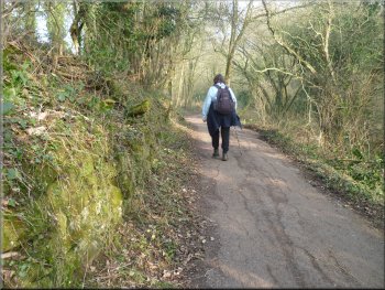
Following the Harrogate Ringway
Horses in a field by the path
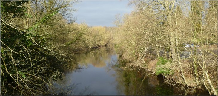
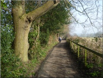
We walked along the river bank heading upstream for a few hundred metres
and then the path turned up the hillside to climb up through the woodland
and then across the fields to a road at map ref. SE333572. At the road
there is the entrance to Bilton Hall on the right and the Harrogate
Ringway continues straight ahead along a tarmac access road. We walked
along the access road for about 500m to a track on the right at map
ref. SE328573. |
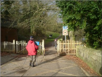
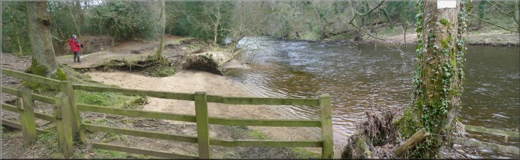
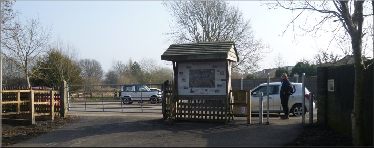
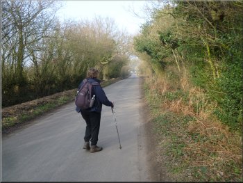
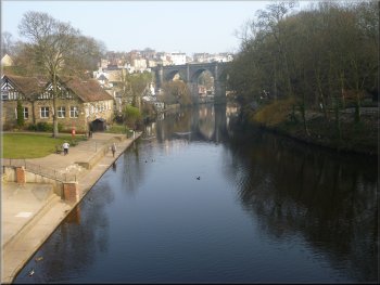
My wife and I drove to Knaresborough this morning and parked at the
Conyngham pay & display car park by the river at map ref. SE344571
off the A59. There are public toilets at the entrance to the car park.
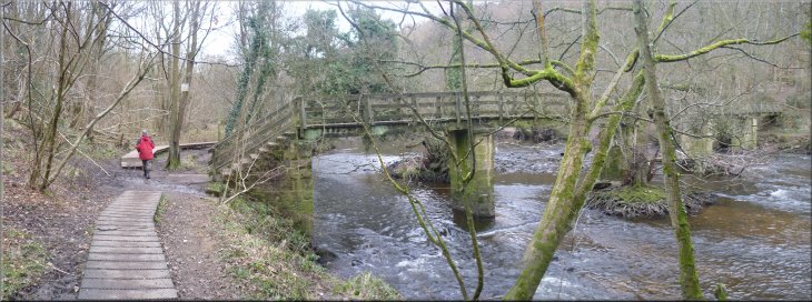
From the car park we crossed the River Nidd on the road bridge and immediately
across the bridge we turned right off the road to follow the "Harrogate
Ringway" route. It's also part of the "Beryl
Burton Cycleway".
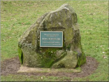
Memorial to Beryl Burton by the cycleway
Following the Harrogate Ringway
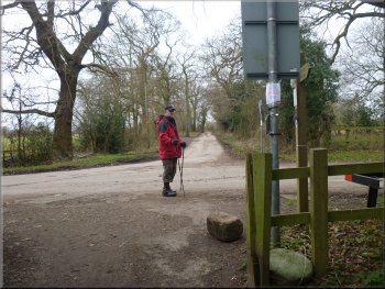
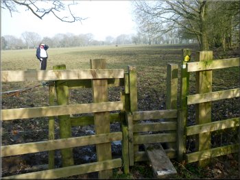
Crossing the lane by the entrance to Bilton Hall
|
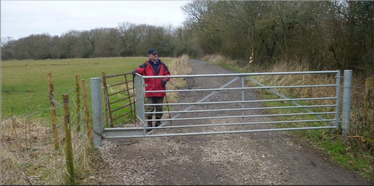
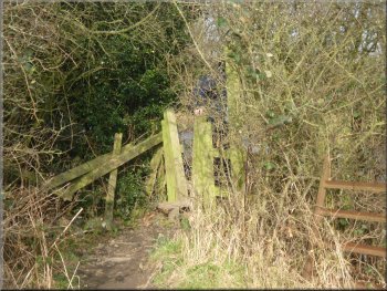
The track to Nidd Gorge Wood off Bilton Lane |
The entrance to Nidd Gorge Wood
Improved gravel path through the wood
River Nidd flowing through the Nidd Gorge
Riverside path in Nidd Gorge
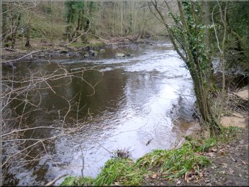
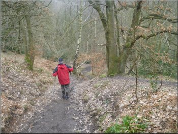
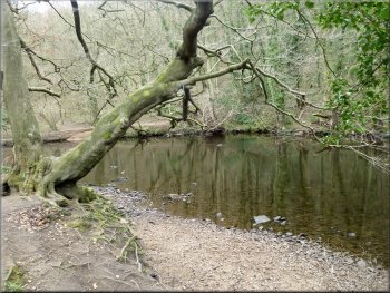
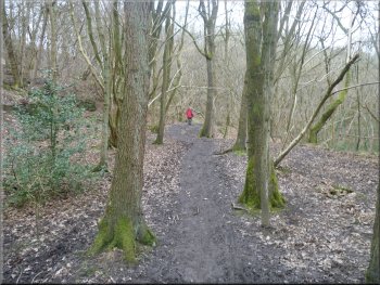
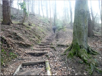
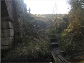
At first the track followed the rim of the gorge and then about 400m
from the start of the wood the path dropped steeply down the valley
side to the River Nidd in the bottom. It's a lovely ancient woodland
on both sides of the river with its still deep reaches and tumbling
rapids. Soon we came to a footbridge across the river. |
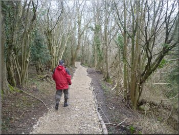
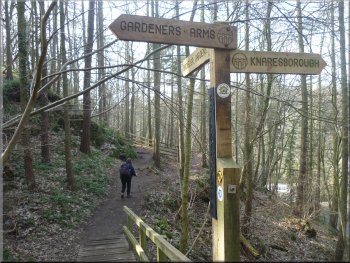
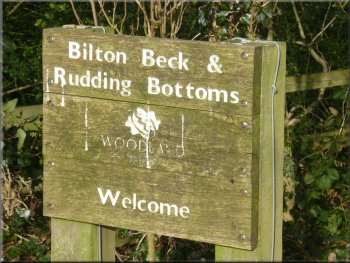
Here we turned right off the access road to follow the track to the
edge of Nidd
Gorge Wood about 150m away. This is a Woodland Trust wood open to
the public. We continued along the track into the wood and the work
of the Woodland Trust's volunteers was soon evident with improvements
to the track underway.
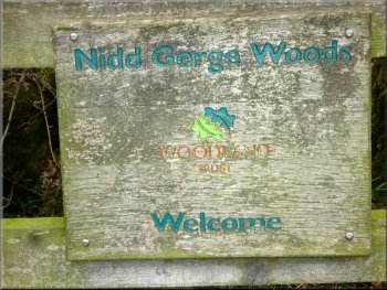
Woodland Trust sign as we entered the wood
Path down into Nidd Gorge
River Nidd flowing through the Nidd Gorge
Riverside path in Nidd Gorge
|
Footbridge over the River Nidd
Riverside path in Nidd Gorge
|
Riverside path in Nidd Gorge
River Nidd flowing through the Nidd Gorge
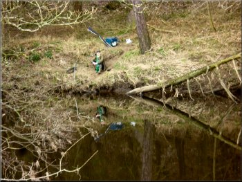
Fishing in Nidd Gorge
About 1.5km from the footbridge the path began to climb up the hillside
away from the river. There is a path continuing along the river bank
but the further you go along it the more awkward it becomes. I walked
some way along it to take a photo of the weir at Scotton Mill, and then
returned to the steps up the hillside. |
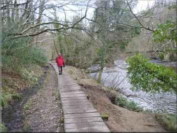
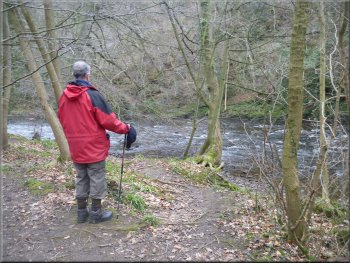
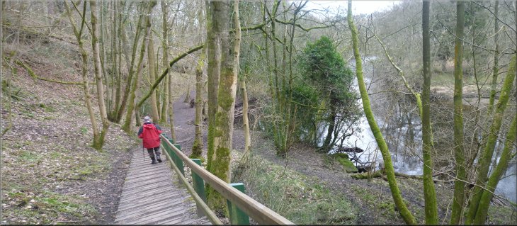
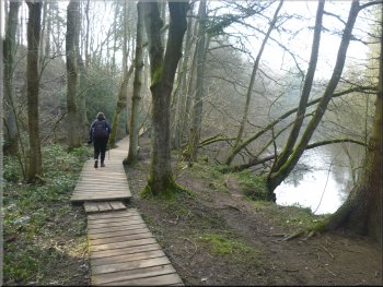
We continued along the Southern bank of the river where board walks
have been provided to avoid the boggy bits. There were one or two fishermen
in their chosen tranquil spots as we walked along the river bank, but
very few other walkers. For the most part we had this lovely place all
to ourselves.
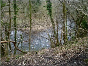
River Nidd flowing through the Nidd Gorge
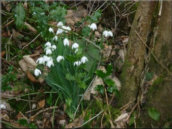
Snowdrops by the path
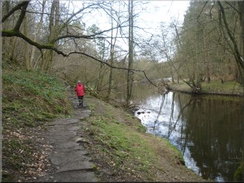
Riverside path through Nidd Gorge
|
Riverside path through Nidd Gorge
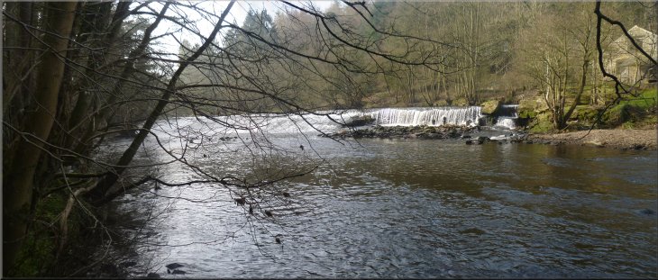
The weir on the River Nidd at Scotton Mill
|
Step up away from the river
Dropping down to the river beyond the weir
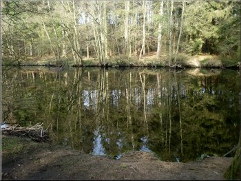
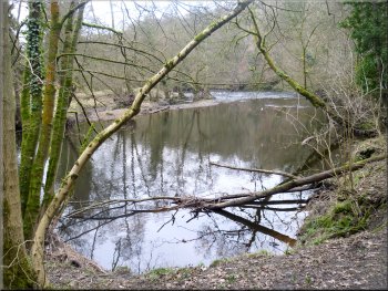
Reflections in the River Nidd
Start of the permissive path out of the wood
We dropped down to the river bank again and continued to walk upstream
for about 600m to a little timber footbridge over a side stream. From
here there is a permissive path that we followed climbing up to the
disused railway at the Nidd Viaduct at map ref. SE307582. |
At the top of the short climb a path goes off to the left to Bilton
Lane and it was here that Jim & I had to cut short our walk last
time we were here in order to get home in time for our afternoon commitments.
(The photos up to this point are from that earlier visit with Jim, but
from here on they are from today's visit with my wife).
Heading up river above the weir
Riverside path in Nidd Gorge
Riverside path in Nidd Gorge
Woodland Trust sign as we left the wood
|
Permissive path up from the river to the Nidderdale Greenway along the
old railway |
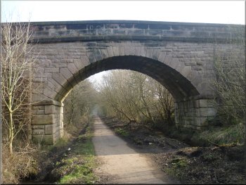
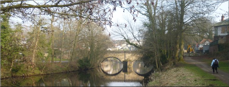
Entrance to the Nidd Viaduct on the Nidderdale Greenway
Tarmac cycleway & path along the old railway
At the old railway we turned left away from the viaduct and walked
along the newly tarmaced railway bed for about 800m to the road in Bilton
at map ref. SE313576. |
For many years the viaduct was closed with no public access, but
now it has been opened as part of the Nidderdale
Greenway cycling and walking route from Starbeck to Ripley along
the bed of the disused railway line.
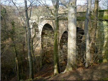
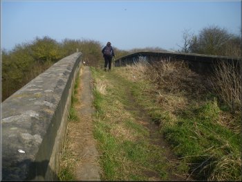
The Nidd Viaduct now open as a public bridleway
Tarmac cycleway & path along the old railway
|
Road in Bilton where the Nidderdale Greenway along the old railway crosses |
Gravel track along the old railway bed
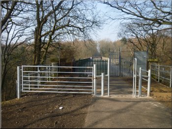
Bridge over the old railway bed
Crossing the railway bridge
After another 800m we came to a stone bridge over the railway. There
are some steps up the side of the cutting on the right hand side to
join a public footpath that goes across the bridge. We climbed the steps
and followed the path across the bridge. |
Here we crossed the road and continued along the old railway. After
about 200m the railway forks. The tarmac section goes to the right,
but we continued straight on, where the old track is surfaced with gravel.
Gravel track along the old railway bed
Steps up out of the railway cutting
Leaving the railway bridge for Longlands farm
|
Path across the fields from Longlands farm |
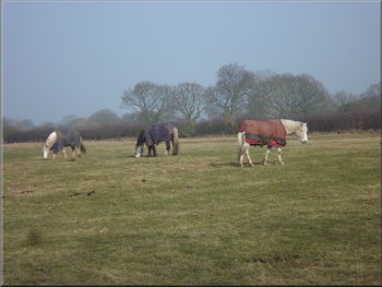
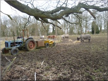
Horses at Longlands farm
Path across the fields from Longlands farm
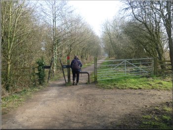
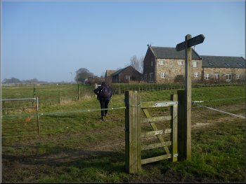
Stile on to the lane leading to Bilton Hall
After about 1km from the farm we came to a lane at map ref. SE332569,
that leads to Bilton Hall. At the lane we turned left to walk along
the lane towards Bilton Hall. |
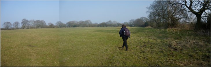
We continued past Longlands farm and across the fields. Just one
of these fields had clearly been under water after the terrible soaking
everywhere last year and was still very boggy, but we picked our way
through.
Approaching Longlands farm
Path across the fields from Longlands farm
The lane to Bilton Hall
|
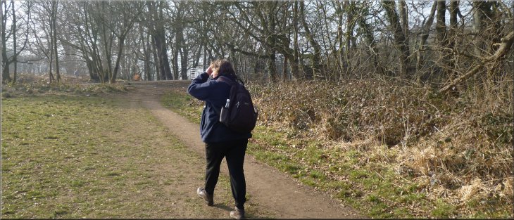
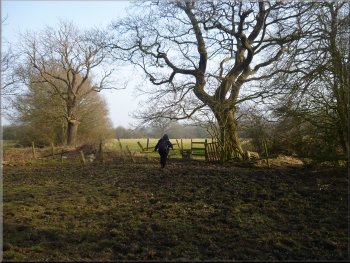
Rejoining the Harrogate Ringway
Returning along the Harrogate Ringway
We walked along the river bank back to the A59 in Knaresborough and
the car park where we had started. The whole walk had been 11km and
it had taken us a little over four hours to walk the route including
a short lunch stop on the river bank. |
At the entrance to the hall we joined out outward route on the Harrogate
Ringway at map ref. SE333572. Here we turned right to retrace our steps
back down to the River Nidd.
Returning along the Harrogate Ringway
View of Knaresborough from the A59 bridge
|
The A59 road bridge over the River Nidd as we approached the end of our
walk
|
Background Notes:
This walk starts in Knaresborough and follows an 11km circuit through the lovely Nidd Gorge Woods. We begin at the Conyngham Hall car park next to the River Nidd. The grounds of Conyngham Hall are open to the public with grassland, parkland, woodland walks and a woodland sculpture trail.
From the car park we cross the River Nidd on the road bridge and turn off the road along a track along the river bank. This track is both a footpath and a cycleway. The cycleway is a four mile route into Harrogate called the Beryl Burton Cycleway in memory of the 1960's world cycling champion.
The footpath here is part of the Harrogate Ringway, a 30km walk that encircles Harrogate. We follow the route of the Harrogate Ringway climbing up the hillside away from the river to Bilton Lane and along this lane for a few hundred metres. Then still following the Harrogate Ringway we turn off the lane to follow a track into the Nidd Gorge Woods.
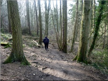
This whole site is managed by the Woodland Trust and like all their woodlands it is open to the public. It's a large area of ancient broadleaf woodland and records show that it has been woodland since at least 1600. We are just at the beginning of the Spring wild flower season so from now through into June is a good time to visit, but, well any time of year is good in this wonderful place. The path drops down to the riverside and we follow the riverside path upstream past a footbridge through the wooded gorge. The river here is popular with a fishermen and there is flyfishing for wild brown trout and good stocks of greyling.
After about 2km along the riverside we come to the weir at Scotton Mill. It was a flax mill that operated throughout the first half of the 1800's. Apparently there was also another mill on the Bilton side of the river taking its water power from the same weir but all trace of that mill has now gone. The Scotton Mill building remains but it's a private house now.
We continue up river for almost another kilometer to the Nidd Viaduct that used to carry the railway over the river. This has been closed for a long time but now it has been opened as a public bridleway. It's part of a project called 'The Nidderdale Greenway' largely financed by Sustrans whose interest is in promoting the construction and use of cycleways. The Nidderdale Greenway goes from Starbeck to Ripley mainly along the old railway. It's now open and work should be completed on the Ripley end this month.
At the viaduct we turn along the railway heading back towards Knaresborough. Just beyond Bilton we leave the railway and walk across the fields back to Bilton Lane and retrace our steps for a little over a kilometer along the Harrogate Ringway and back to the car park at the end of our walk
top of page
|