| 2001 walks | 2002
walks | 2003 walks | 2004
walks |
| 2005 walks | 2006
walks | 2007 walks | 2008
walks |
| 2009 walks | 2010
walks | 2011 walks | 2012 walks |
| 2013 walks | 2014 walks | 2015 walks | 2016 walks |
| 2017 walks | 2018 walks | 2019 walks |2020 walks |
| 2021 walks | 1993-2000 library | Find a Route Index |
| A few Routes to print out | Request a Route... |
Route No. 526 - Thursday 19 December 2013
Kildale, Mill Bank Wood, Ayton Banks Wood,
Captain Cook's Monument, Coate Moor Forest,
Bankside Farm circuit - 7km North York Moors . . .
Route map from Ordnance Survey
Open Space service.
Map: OS Explorer OL26 North York Moors Western area
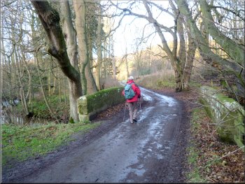
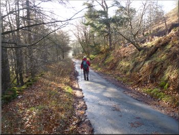
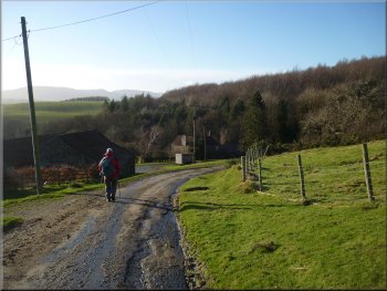
The road out of Kildale by the cafe
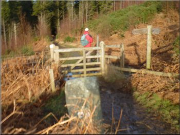
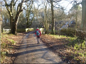
Bridge over the River Leven near Kildale
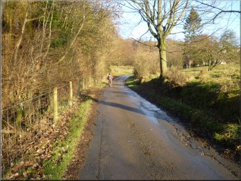
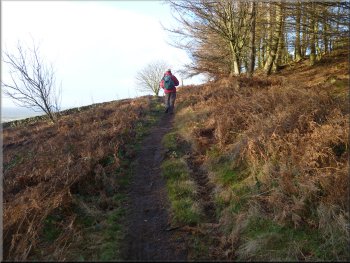
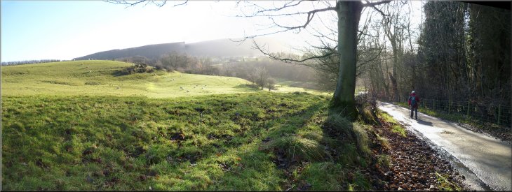
The lane from Kildale towards Bankside Farm
Just as the Met. Office forecasters had promised it was now fine and bright with a
cold wind as we set off down the side of the cafe heading northwards along the stalk of the 'T'-junction. After about 150m there was a left hand
bend in the lane and in the field on the right were four large wooly llamas. After another 100m we passed under the Esk Valley railway and crossed
the road bridge over the River Leven. It was all very pretty in the morning sunshine. |
According to the weather forecast there was a wet & windy front passing through North Yorkshire early this morning then a few hours of clear cold
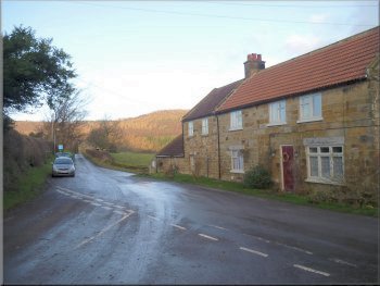
bright weather before another wet & windy front passes through this afternoon and evening. My mate, Jim, and I decided to drive to Kildale on the
northern edge of the North York Moors for a short walk in the nice sunny part of the day. We parked on the roadside at a junction by a cafe (it
doesn't open on Thursdays!) at map ref. NZ607094 in Kildale.
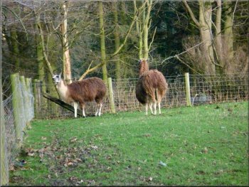
Llamas by the roadside at Kildale
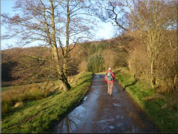
The lane from Kildale towards Bankside Farm
The track off the lane into Mill Bank Wood
|

Looking back to Bankside Farm from the edge of Mill Bank Wood
The track through Mill Bank Wood
|
The track through Mill Bank Wood
Looking south east from Mill Bank Wood over Kildale
The bridleway continuing to contour round the hillside
Here the track begins to drop down the hillside. The bridleway keeps to the right of the track still
contouring around the hillside for another 250m to the edge of the wood. |
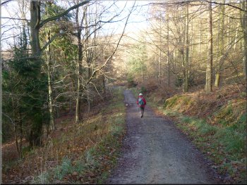
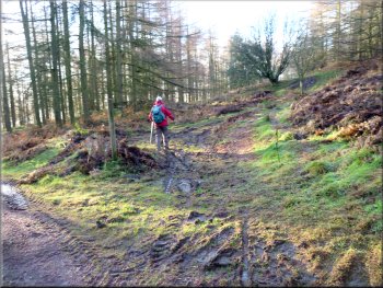
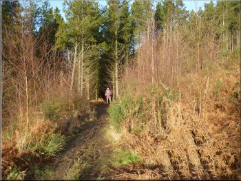
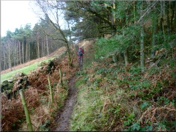
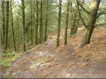
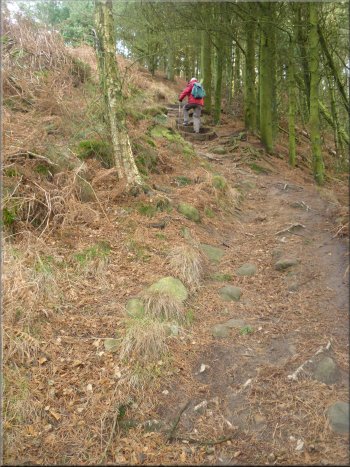
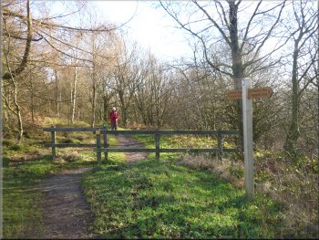
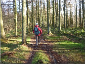
From the river the lane began to climb for about 400m up the
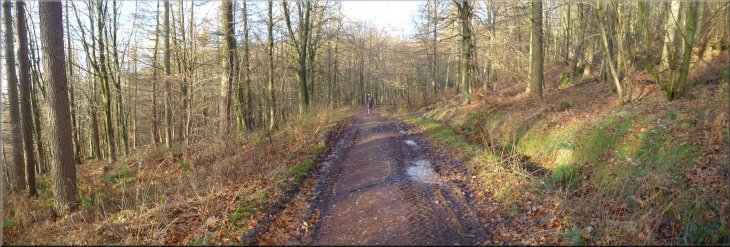
side of Mill Bank Wood to a track off to the left at map ref. NZ603100 below Bankside Farm. We followed a bridleway along the track through Mill
Bank Wood for about 1km to map ref. NZ594097.
The track through Mill Bank Wood
The bridleway bearing right off the track
The bridleway nearing the edge of Mill Bank Wood
|
Looking back along the track through Mill Bank Wood
|
Leaving the wood on the path across the open moorland
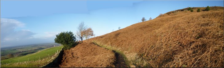
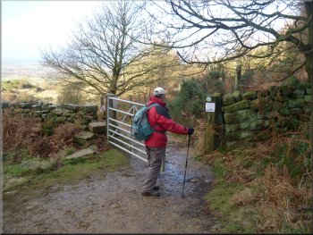
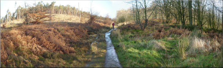
After about 800m we came to the edge of Ayton Banks Wood at map ref. NZ586100. |
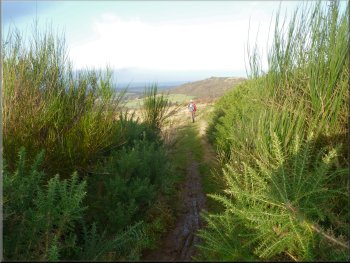
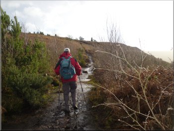
From the edge of the wood we continued along the bridleway across open moorland covered with orangey-brown dead bracken fronds.
Gate into Ayton Banks Wood from the open moorland
|
|
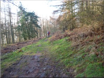
The bridleway across the open moorland
|
Path through Ayton Bank Wood
Approaching the wall at the edge of Ayton Bank Wood
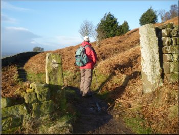
Here we turned right to follow a footpath beside the wall up the hillside for about 100m before the path turned away from the wall to climb straight up the steep hillside.
|
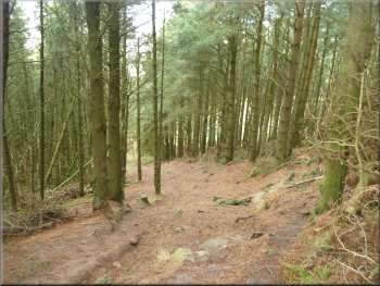
We followed the bridleway through the woodland for about 400m to a stone wall at the far side of the wood.
Path through Ayton Bank Wood
Path by the wall at the edge of Ayton Bank Wood
|
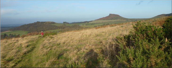
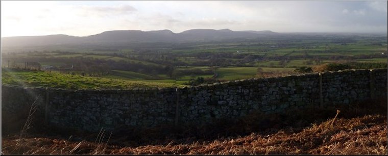
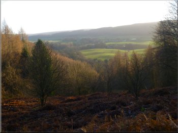
Looking out to Roseberry Topping from the edge of Ayton Banks Wood
|
Looking back down the first part of the climb to Easby Moor
Looking back down the path it still looks as steep
Looking back down the path it still looks as steep
The slope eases off as we reach Easby Moor
|
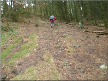
After about 50m from the wall the path crossed a forest track and continued straight up the hill. It was a steep climb up through the trees for about 300m before the slope eased. A little further on the path emerged from the trees to cross the open land of Easby Moor to reach Captain Cook's Monument at map ref. NZ590101. Here we had joined the route of the Cleveland Way.
Steep climb up towards Easby Moor
The steep climb up towards Easby Moor continues
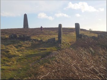
Approaching Captain Cook's Monument on Easby Moor
|
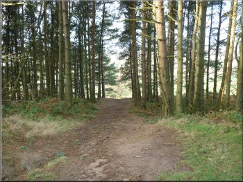
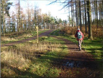
From Captain Cook's Monument we followed the Cleveland way route eastwards for about 150m to enter Coate Moor forest. It all looked completely different from our last visit to this area. A large area of the forest had been felled and our land marks had gone.
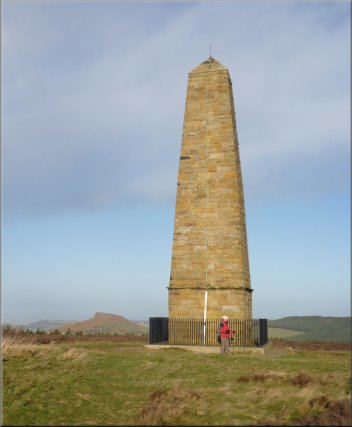
Captain Cook's Monument on Easby Moor
|
Start of the path through Coate Moor Forest
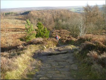
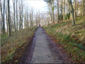
Paved Cleveland Way path through Coate Moor Forest
|
Cleveland Way path through Coate Moor Forest
|
Cleveland Way path through Coate Moor Forest
Cleveland Way path through Coate Moor Forest
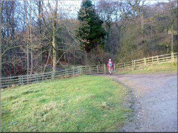
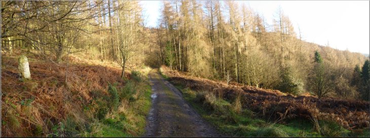
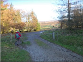
Following the lane towards Bankside Farm
At the lane we turned right and followed the lane down the hillside for about 500m to Bankside Farm.
|
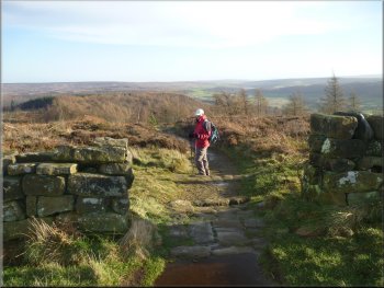
We followed the Cleveland Way paved path through the forest for about 1.4km to a lane at map ref. NZ605105.
Cleveland Way path through Coate Moor Forest
Nearing the lane at the edge of Coate Moor Forest
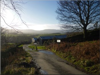
Approaching Bankside Farm along the lane
|
Heading down to Kildale along the lane from Bankside Farm
The whole route had been 7km and it had taken us about 2hrs 15mins to walk including a brief stop at Captain Cook's Monument to admire the panorama of the Cleveland Hills. |
We continued along the lane from Bankside Farm to retrace our steps back across the River Leven and under the Esk Valley railway back to Kildale and the end of our walk.
Crossing the River Leven heading back to Kildale
|
Heading down to Kildale along the lane from Bankside Farm
|