| 2001 walks | 2002
walks | 2003 walks | 2004
walks |
| 2005 walks | 2006
walks | 2007 walks | 2008
walks |
| 2009 walks | 2010
walks | 2011 walks | 2012 walks |
| 2013 walks | 2014 walks | 2015 walks | 2016 walks |
| 2017 walks | 2018 walks | 2019 walks |2020 walks |
| 2021 walks | 1993-2000 library | Find a Route Index |
| A few Routes to print out | Request a Route... |
Route No. 561 - Monday 28 July 2014
Beamsley Beacon, Little Gate,
Foldshaw Ridge, Badgers Gate circuit - 9km
Wharfedale . . .
Route map from Ordnance Survey
Open Space service.
Map: OS Explorer 297 Lower Wharfedale & Washburn Valley
Our parking spot on Lanshaw Bank
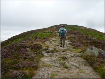
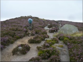
Rocky path up to Beamsley Beacon
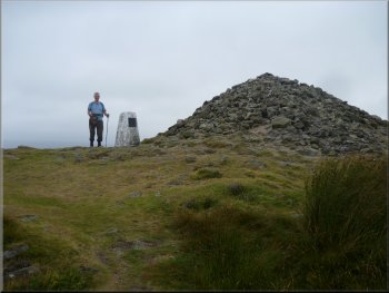
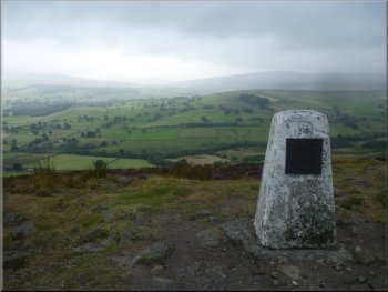
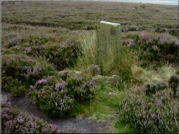
Cairn & trig point on Beamsley Beacon
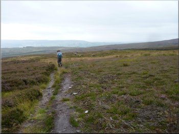
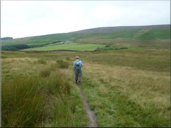
We turned off the road and followed this path up a grassy bank between the houses and up a rocky
track. This track led us up the end of the ridge for about 700m to the large cairn and trig point on top of Beamsley Beacon at map ref. SE099524.
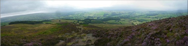
There is normally a fine view from here out across Wharfedale, but today there was low cloud everywhere, sitting only just above Beamsley Beacon
itself so our view was quite restricted. |
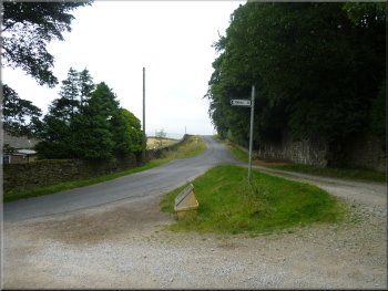
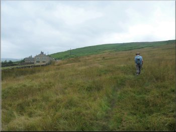
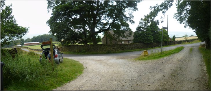
This morning my neighbour, Jim, and I drove to the village of Beamsley and on the edge of the village we turned up a narrow lane called Lanshaw
Bank. After about 2.5km there is a sharp right hand bend in the lane with an access road joining the lane from the left on the crown of the bend. We
parked off the road on the grass verge at this junction (map ref. SE094517). From our parking spot we walked back along the road for about 200m to
a footpath on the right marked by a finger post.
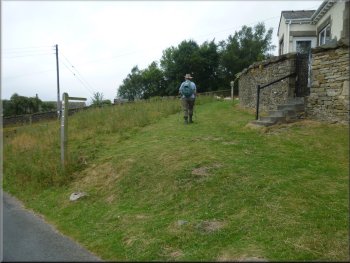
Turning off the road to the path up Beamsley Beacon
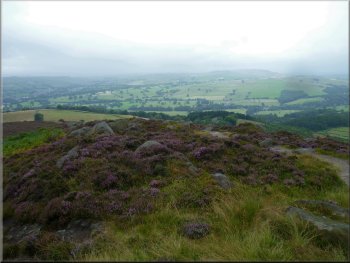
Looking back over Wharfedale from Beamsley Beacon
Looking up Wharfedale from Beamsley Beacon
|
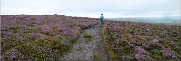
The path across the moor to The Old Pike from Beamsley Beacon
|
Reaching The Old Pike
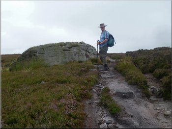
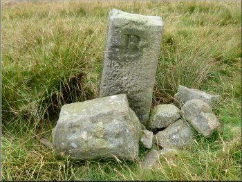
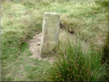
Boulder used as a boundary marker by the path
Boundary stone by the path
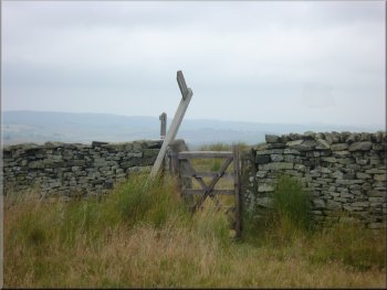
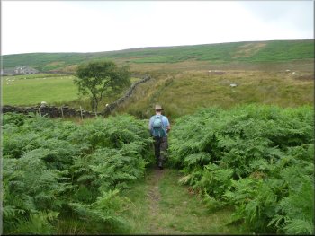
The route is along a permissive path but it's also open access land. We passed a well made wooden finger post marking the permissive
path. The post had fallen over and there was no obvious hole to plant it back into. When we reached the stone wall at Little Gate there were two more
wooden finger posts in good condition leaned against the wall. One of then had a block of concrete around its base. It seemed that all three may have
been deliberately uprooted. |
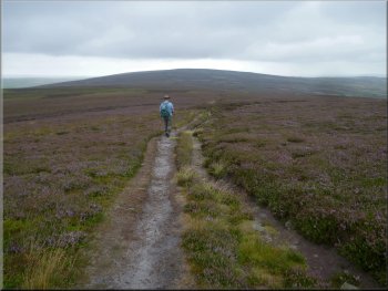
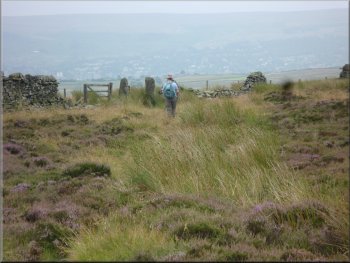
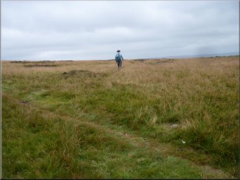
From Beamsley Beacon we continued along the ridge for about 500m to the next little summit called The Old Pike. This is another fine viewpoint but
today the distant view was lost in the all pervading low cloud. From The Old Pike we continued following the path for about 2.5km across a dip in the
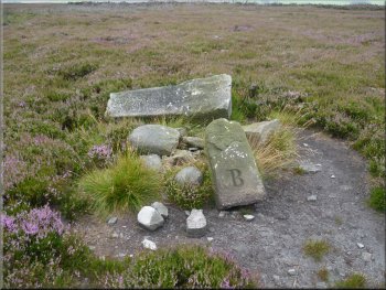
open moor and up again to Little Gate, next to Round Hill. The path here is following a parish boundary and there are numerous boundary stones
along the way. These boundary stones have a large letter 'B' for Beamsley carved on one side and 'LN' carved on the other side for Langbar &
Nesfield.
Path across the moor from The Old Pike to Little Gate
Boundary stone by the path
Boundary stone by the path
|
Fallen sign post at Little Gate
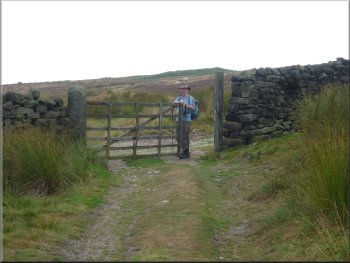
The bridleway passes through a gate in the wall & wire fence
The bridleway drops down the moor towards March Ghyll Reservoir
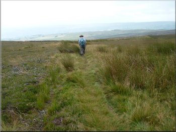
The path then veers away from the wall although there is a path alongside the wall too, that drops down to a couple of shooting
huts in Loftshaw Gill. We continued along the bridleway dropping down the moor for about 1.8km to a track at map ref. SE118516. From little gate to
this track there were lines of grouse shooting butts most of the way and at one point there was an estate worker with a large strimmer cutting the grass
around each shooting butt.
|
From Little Gate we took a bridleway heading down the moor towards March Ghyll Reservoir (roughly south south west). The start of this bridleway is
just a feint path through the grass veering away from the stone wall. After about 200m the path goes between a pair of old stone gate posts in a
broken down stone wall and then through a small wooden gate in a wire fence. Through the gate we turned right and followed the path alongside the
wall for a few metres.
Start of the bridleway veering away from the wall at Little Gate
The bridleway drops down the moor towards March Ghyll Reservoir
The bridleway drops down the moor towards March Ghyll Reservoir
|
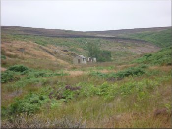
Shooting huts in Loftshaw Gill
|
Gate where the bridle way joins a track at map ref. SE118516
|
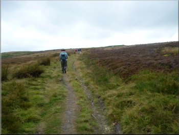
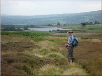
Following the track along Foldshaw Ridge
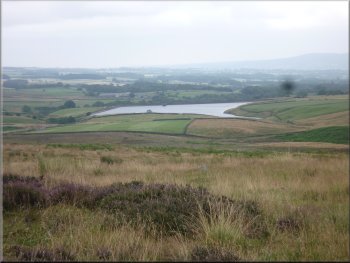
Looking back over March Ghyll Reservoir
The old mile post on the track along Long Ridge
About 900m from the gate through the wall, at map ref SE108515, we came
to an old stone mile post where a public footpath crossed the track. On one side of the mile post it says 'To Otley 3M' and on the other side it says 'To
Skipton 6Ms'. |
At the track we turned right and walked along the track for about 200m to a wooden gate through a stone wall. Through the gate another track crossed
our route but we carried straight on following the track on to Long Ridge.
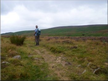
Following the track along Foldshaw Ridge
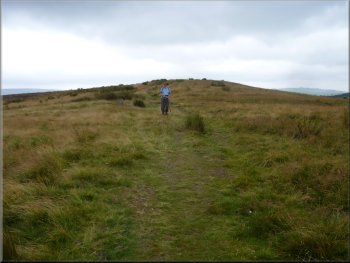
Approaching the old mile post on the track along Long Ridge
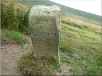
The old mile post on the track along Long Ridge
|
Path heading round the field boundary to Wards End
Approaching Wards End on the path around the field boundary
The road called Badgers Gate from Wards End
The whole route had been about 9km and it had taken us 3 hours to walk including a short
lunch break. The weather was very over cast and threatening to rain all morning but nothing came of it and as we drove home the cloud began to clear
and there was plenty of blue sky by the time we reached home. |
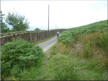
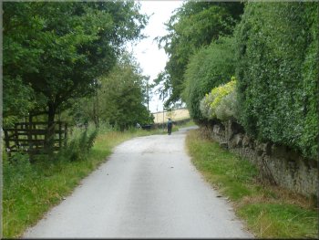
At this mile post we turned right off the track to follow the footpath around the intake wall of the fields to pass a large house called Wards End. Just
beyond this house the path joins the access road to the house. The access road is called Badgers Gate and we followed this road for about a
kilometre back to our parking spot and the end of our walk.
Path heading round the field boundary to Wards End
Joining the road at Wards End
Approaching our parking spot at the end of the walk
|
Our parking spot off Lanshaw Bank at the end of our walk
|