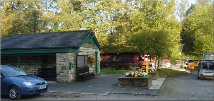
The car park at Barley with good cafe & toilets at the start of our walk
|
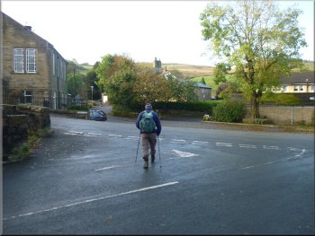
Cross roads near the car park
We had a coffee at the cafe to
allow the overnight cloud and rain to clear and then set off to climb Pendle Hill. Over the years we have seen Pendle Hill from numerous vantage
points in the Yorkshire Dales but we have never climbed it, so today is the day. |
My neighbour, Jim, and I are staying at a very nice pub near Pendle Hill in Lancashire. This morning after a full English breakfast (a bit too full really!)
we drove to the village of Barley and parked at the large visitors car park where there are good toilets and a good cafe.
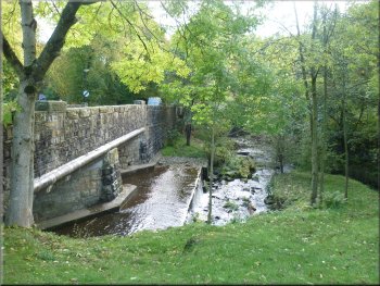
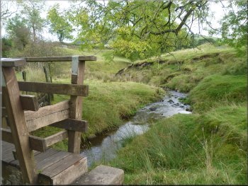
Weir on Barley Water where we saw a dipper
|
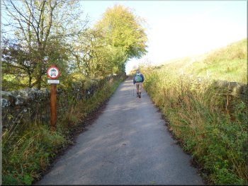
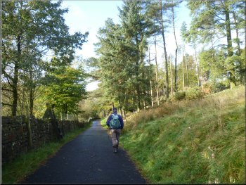
Start of the lane out of Barley village
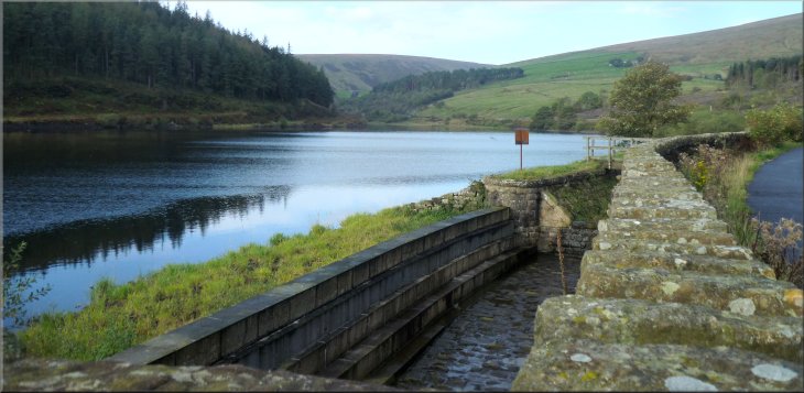
Lane climbing up next to the dam at Lower Ogden Reservoir
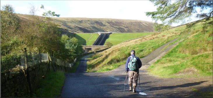
After about 200m from the cross roads we passed the old waterworks filter house which seems to be under redevelopment as apartments. We continued along the lane as it climbed up beside the dam of Lower Ogden Reservoir.
|
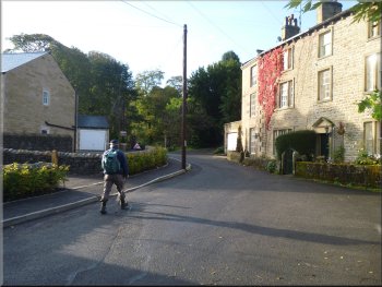
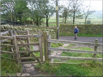
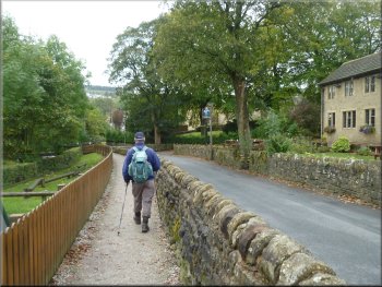
We walked back to the road from the car park and turned right to walk a few metres along the road (called The Avenue) over the road bridge (called
Barley Bridge) across the beck (called Barley Water) to a cross roads. We kept straight on across the cross roads and followed the lane running
parallel to Ogden Clough.
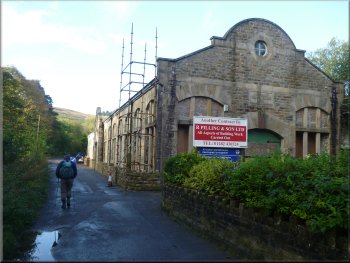
The old waterworks filter house development
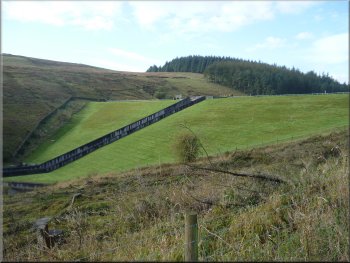
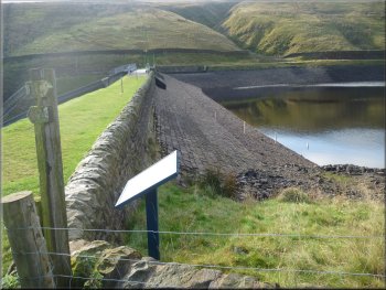
The dam at Lower Ogden Reservoir
|
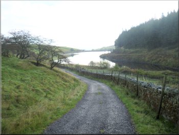
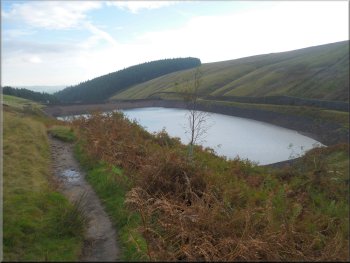
Lower Ogden Reservoir seen from the lane next to the dam
|
Water level was quite low as usual at this time of year
The lane heading for Upper Ogden Reservoir
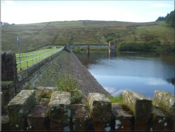
After a little over 1Km from the first dam we came to the dam of the Upper Ogden reservoir and climbed up the track to the crest of the dam.
|
We followed the lane around the edge of the reservoir and then following Ogden Clough upstream.
Looking back over Lower Ogden Reservoir
Crest of the dam at Upper Ogden Reservoir
|
Approaching the dam at Upper Ogden Reservoir
|
Footpath around the edge of Upper Ogden Reservoir
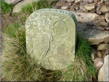
Footpath marker on the Pendle Way
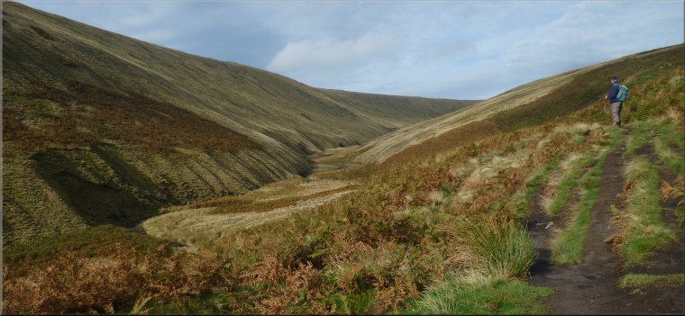
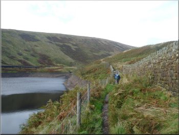
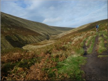
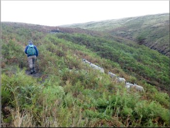
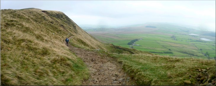
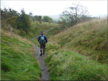
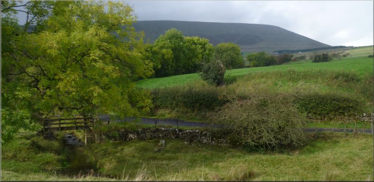
Ogden Clough cuts a semi-circular groove into the heart of Pendle Hill from the Upper Ogden Reservoir and we followed the path along this valley for about 800m from the reservoir dam. |
We continued along a path around the edge of the reservoir out to the open moorland of Pendle Hill following the steep sided valley of Ogden Clough.
Looking back over Upper Ogden Reservoir
The valley of Ogden Clough cutting into Pendle Hill
|
Footpath in the valley of Ogden Clough
|
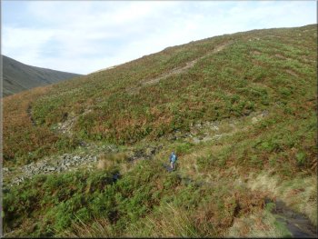
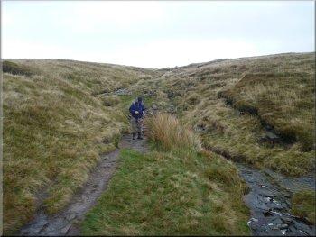
About to cross Boar Clough and turn up the hillside
Path up the hillside above Boar Clough
Path up the hillside above Boar Clough
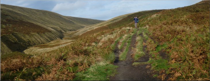
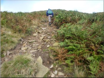
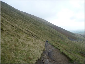
After another 800m from the turn on to this steep track we crossed Boar Clough and followed the path climbing up across the open moor. |
About 800m from the Upper Ogden Reservoir dam, at map ref SD799398, the path turned right to climb up the hillside above the side valley of Boar Clough
Footpath marker on the Pendle Way
Looking back along the valley of Ogden Clough
About to cross Boar Clough & head across the open moor
|
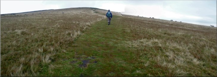
Footpath across the open moor heading for the edge of the escarpment
|
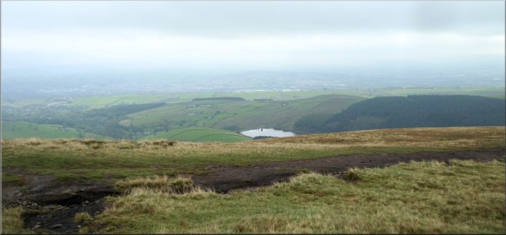
Looking over Lower Ogden Reservoir from the edge of the escarpment
|
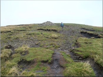
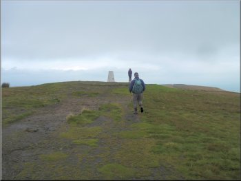
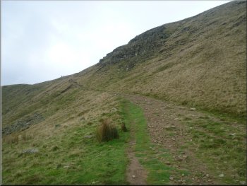
Path heading for the trig point on top of Pendle Hill
There were, however, dark clouds gathering limiting the view as we followed the path up to the trig point at the Beacon (or Big End) at the top of Pendle Hill. |
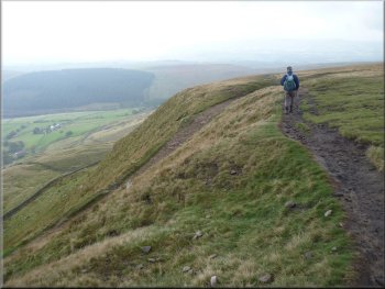
After another 600m from Boar Clough we came to the main ridge of Pendle Hill along the top of the east facing escarpment, still without any rain.
Approaching the trig point on top of Pendle Hill
|
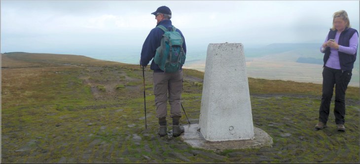
The trig point on top of Pendle Hill - not much of a view with low cloud all around
|
Starting back down from the trig point on Pendle Hill
|
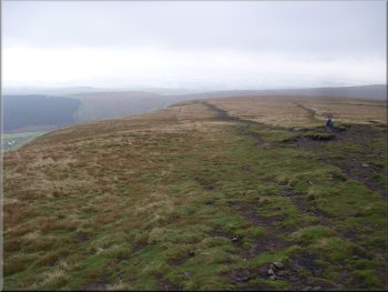
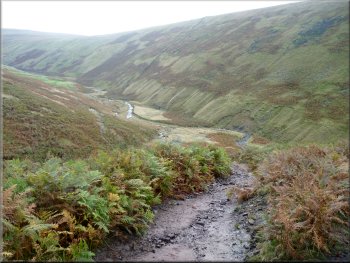
Path down from the top of Pendle Hill . . .
Looking back up the path from Pendle Hill
Near the bottom of the path from Pendle Hill
This direct path is much too steep for my arthritic knees these days so we retraced our steps for a few hundred metres to take the zig-zag path down the precipitous hillside to the farms at the bottom. |
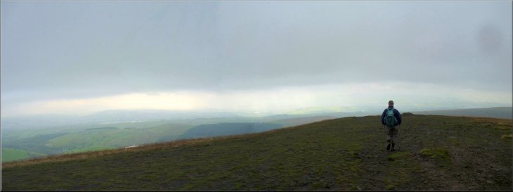
We looked at what remained of the view under the developing banks of threatening clouds for a few minutes. Just beyond the trig point there is a
steep path directly down the face of the escarpment.
. . . path down from Pendle Hill . . .
Path down from Pendle Hill
The road at Pendle House
|
The path down from Pendle Hill
|
The path behind Pendle House
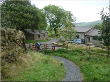
Approaching Ing Head Farm
Path heading for Ing Ends
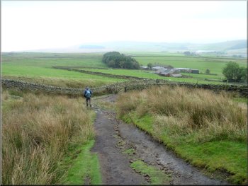
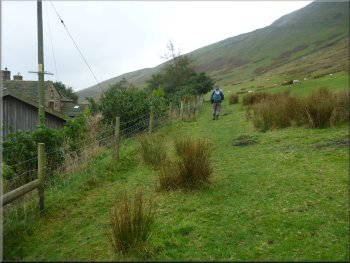
We passed Ings Head Farm and continued along a
gravel path following a stream down to a lane at Ing End. |
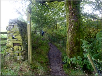
Here we turned right to pass behind Pendle House and follow the Pendle Way across the fields.
Path heading for Ing Head Farm
Path heading for Ing Ends
Joining the lane at Ing Ends
|
Looking back to Pendle Hill from the path near Ing Ends - the cloud had just lifted from the hilltop again
|
The lane at Ing Ends
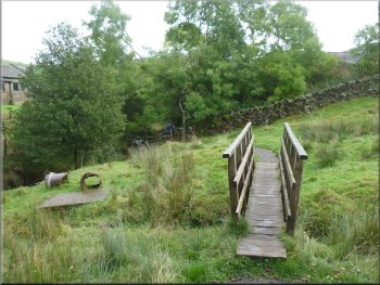
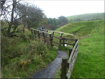
Another footbridge on the path to Barley
Passing the children's playground in Barley
We followed the path through the parkland
back to the car park where we had a coffee and a bacon sandwich just to round of our walk which we had just managed to complete ahead of the rain.
The whole walk had been 8km and it had taken us almost four hours. My dodgy knees are taking their toll and Jim has to keep waiting for me to catch
up. |
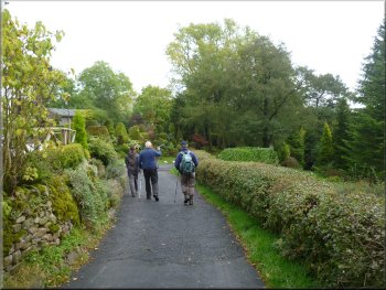
From the lane we took a path out to the road through Barley village. We walked along the road past a children's playground. Just at the end of the
playground we crossed the stream called Barley Water on a footbridge that led us into some parkland.
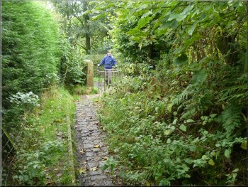
One of several footbridges on the path to Barley
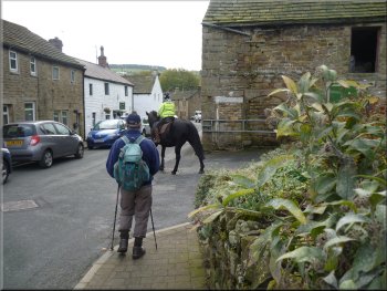
The main street in Barley
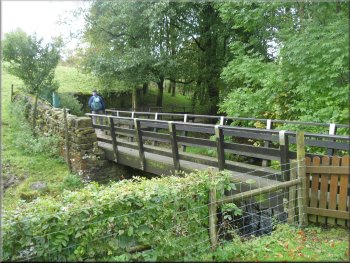
Footbridge over Barley Water next to the playground
|
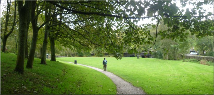
Footpath through the park heading back to the car park and the cafe at the end of our walk
|