| 2001 walks | 2002
walks | 2003 walks | 2004
walks |
| 2005 walks | 2006
walks | 2007 walks | 2008
walks |
| 2009 walks | 2010
walks | 2011 walks | 2012 walks |
| 2013 walks | 2014 walks | 2015 walks | 2016 walks |
| 2017 walks | 2018 walks | 2019 walks |2020 walks |
| 2021 walks | 1993-2000 library | Find a Route Index |
| A few Routes to print out | Request a Route... |
Route No. 575 - Tuesday 3 February 2015
Ribblehead, B6479, Colt Park, Winterscales Beck,
Ribblehead Viaduct circuit - 8km
Ribblesdale . . .
Route map from Ordnance Survey
Open Space service.
Map: OS Explorer OL2 Yorkshire Dales Southern & Western areas
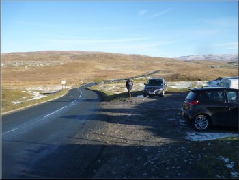
Our parking spot off the B6255
Turning off the B6255 onto the B6479
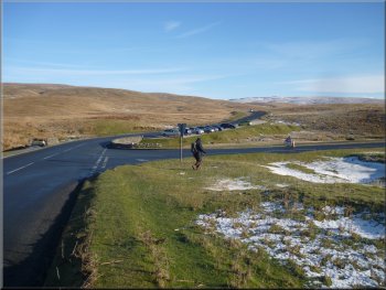
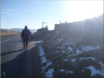
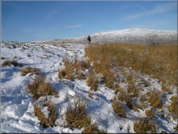
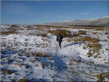
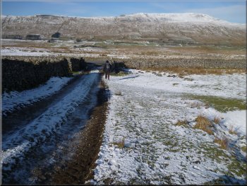
At the junction we turned right to walk along the B6479. It was a perfect day for a walk, cold & frosty with clear blue sky and bright sunshine illuminating the snow covered peaks. At Ribblehead we were just on the snow line. |
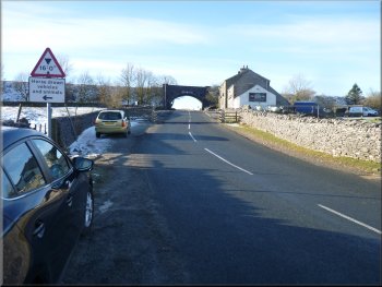
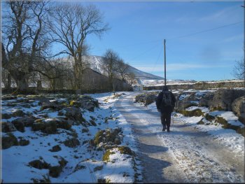
This morning my wife & I drove to Ribblehead and parked off the B6255 at map ref. SD764791 about 120m from the bridge carrying the Settle to Carlisle railway over the road. We set off walking along the B6255 away from the railway for about 150m to the junction with the B6479.
Setting off along the B6255
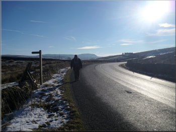
Walking along the B6479 with Pen-y-Ghent ahead
|
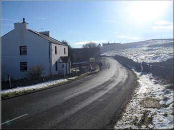
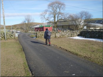
Passing by the houses at Gauber on the B6479
The lane off the B6479 heading for the railway bridge
View SE from the railway bridge to Pen-y-Ghent
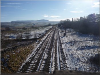
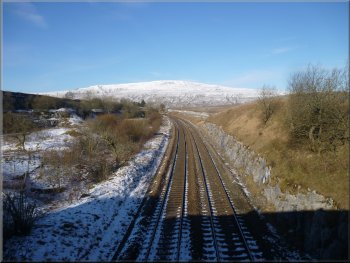
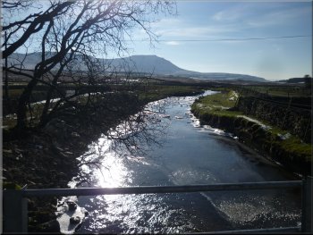
At the railway bridge there was a splendid view of Pen-y-Ghent to the southeast and another fine view of Whernside to the northwest. We crossed the railway bridge and followed the track through an area of limestone outcrop and around to the houses at Colt Park. |
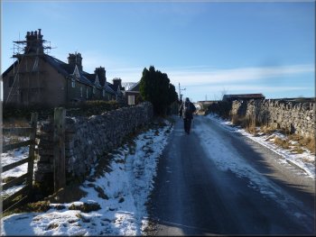
We continued along the road (B6479) for about 1.2km from the junction to map ref. SD774785 where a rough access road climbs up past a row of stone houses to a bridge over the Settle to Carlisle railway.
Our turning off the B6479 towards Colt Park
View NW from the railway bridge to Whernside
The track to Colt Park & Park Fell (563m)
|
Track through the limestone outcrop at Colt Park
|
The track past Colt Park
Well walked path leading to Park Fell
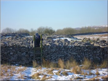
The first stile on the path around Park Fell
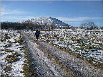
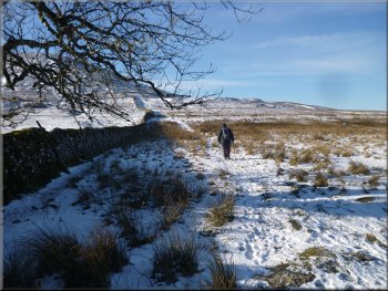
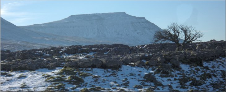
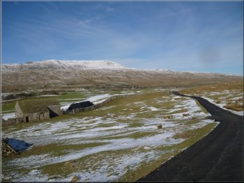
The footprints were following a public footpath leading around the base of Park Fell. Along the way the distinctive snow covered shape of Inglebrough emerged from behind the ridge of Park Fell. |
Next to Colt Park we passed through a pedestrian gate to the open moor with a well walked track leading up to Park Fell. About 100m from the gate we turned off this well walked track to follow a set of footprints in the snow.
Path leaving the access track at Colt Park
Leaving the path up Park Fell to follow a path around the fell
The path around the base of Park Fell
|
Path around the base of Park Fell with Inglebrough now visible ahead
|
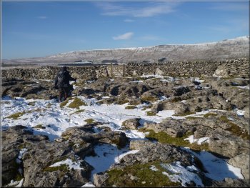
Picking our way through Fell Close Rocks
Track down the field edge with Whernside ahead
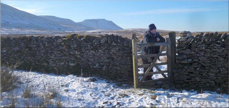
Beyond these rocks the path joined a farm access track along the edge of the field leading down to the road (B6255) at map ref. SD753782.
At the road we turned left and walked along the road for about 200m. |
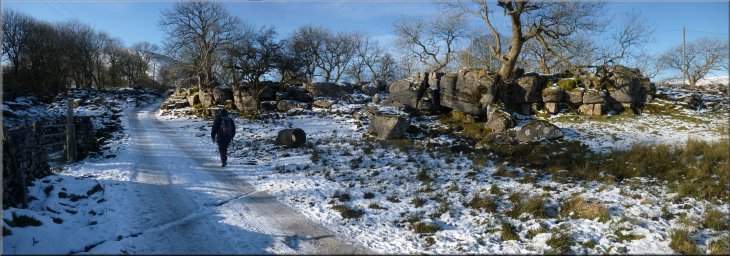
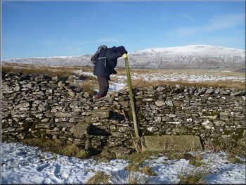
The path led us over several stiles and through the limestone outcrops called Fell Close Rocks and Sleights Pasture Rocks. There was a fine view now of Inglebrough across the limestone outcrops.
Ladder stile over the wall to Sleights Pasture Rocks
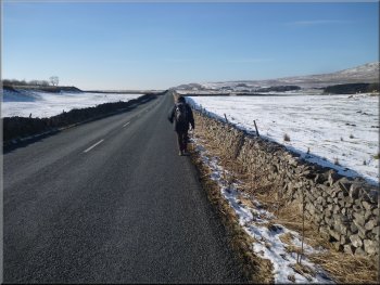
Walking about 200m along the B6255
|
The distinctive shape of Inglebrough seen across Fell Close Rocks
|
Turning off the B6255 heading for Winterscales Beck
Taking the road to Gunnerfleet farm
Bridge over Winterscales Beck at Gunnerfleet farm
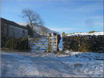
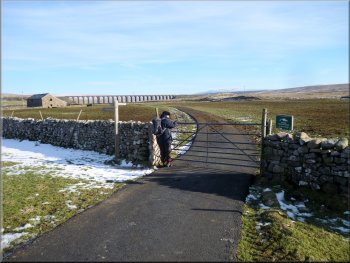
Away to our right was the Ribblehead viaduct and at the right hand end of the viaduct the shape of Pen-y Ghent was starting to show again. At map ref. SD748792 we turned right through a steel field gate to follow a tarmac road next to Winterscales Beck to Gunnerfleet farm. |
Here we turned right off the B6255 on to a minor road that we joined over a cattle grid. The narrow strip of tarmac wound its way down to a bridge over Winterscales Beck. Ahead of us was the snow covered whaleback of Whernside whilst the outline of Inglebrough was still visible behind us.
Looking down the lane past Haws House to Whernside
The road at Gunnerfleet farm
Inglebrough seen from the bridge at Gunnerfleet farm
|
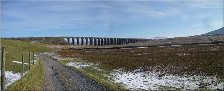
Ribblehead Viaduct with Pen-y-Ghent at the right hand end seen from the track at Gunnerfleet farm
|
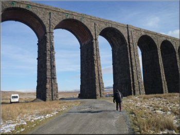
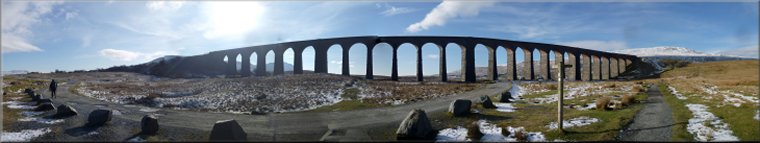
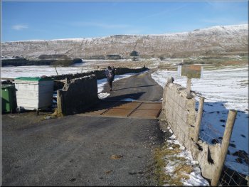
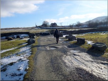
Walking through the huge arches of Ribblehead Viaduct
We passed under the viaduct and continued along the track for another 500m back to the road (B6255) and to our parking spot at the end of the walk. The whole route had been 8km and it had taken us about 3 hours to walk. From our parking spot we drove into Ingleton and found a nice cafe for a late lunch. |
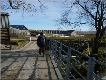
At the farm we turned right to cross a bridge over the beck and continue along the road past the side of the farm. The road now became a stony track which we followed for a few hundred metres to the Ribblehead viaduct. This is a most impressive structure with its multiple arches towering above us.
The track back to our parking spot on the B6255
|
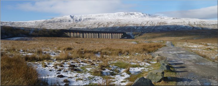
The Ribblehead Viaduct and Whernside seen from the track at the end of our walk
|