| 2001 walks | 2002
walks | 2003 walks | 2004
walks |
| 2005 walks | 2006
walks | 2007 walks | 2008
walks |
| 2009 walks | 2010
walks | 2011 walks | 2012 walks |
| 2013 walks | 2014 walks | 2015 walks | 2016 walks |
| 2017 walks | 2018 walks | 2019 walks |2020 walks |
| 2021 walks | 1993-2000 library | Find a Route Index |
| A few Routes to print out | Request a Route... |
Route No. 584 - Thursday 25 June 2015
Cowhouse Beck, Old Fold, Roppa Wood,
Helmsley Moor, East Moor Wood circuit - 8km
North York Moors . . .
Route map from Ordnance Survey
Open Space service.
Map: OS Explorer OL26 North York Moors Western area
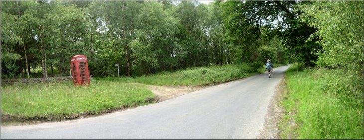
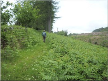
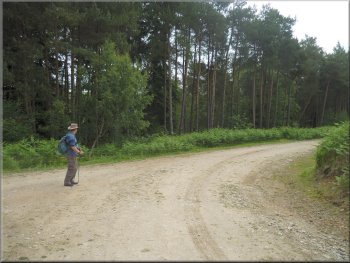
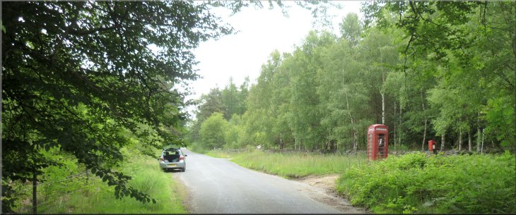
Setting off from our parking spot opposite the phone box
|
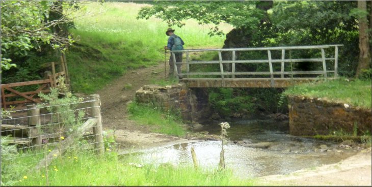
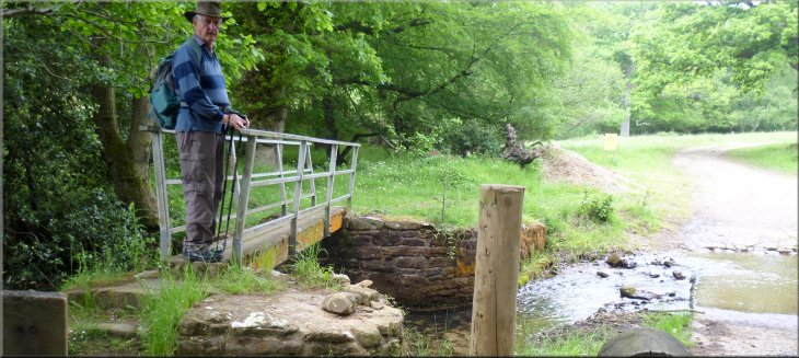
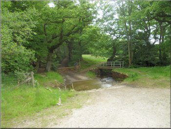
Turning off the road to head for the ford over Cowhouse Beck
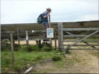
From our parking spot we walked back (ie south) along the road for about 150m and turned right off the road to follow a public footpath along a farm access track down to a ford across a beck. (Upstream it's Bogmire Gill and downstream it's Cowhouse Beck before it becomes the River Riccal). |
This morning my friend, Jim, and I drove out through Helmsley, along the minor road past the Youth Hostel and out through the village of Carlton to go down Cowhouse Bank on the road to Cockayne in Bransdale. A few hundred metres from the bottom of Cowhouse Bank we parked on the roadside opposite a red telephone box at map ref. SE609903
Track down to the beck
|
Footbridge next to the ford over Cowhouse Beck
|
Track across the fields towards Old Fold
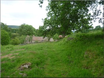
Looking back over the roofs of Old Fold
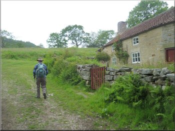
We continued rather cautiously to the cottage where we could see the cattle ahead of us still running and heading into the pasture south of the cottage. Why our presence spooked the herd in this way I do not know. I do not remember a herd of cattle behaving like this before. We followed the path in front of the cottage and then turned right to continue along the path round the side of the cottage and out through a gate into the woodland behind the cottage. |
We crossed the footbridge next to the ford and took the left hand farm track across the field to a cottage called Old Fold at map ref. SE604905. There was a large herd of cows in the field accompanied by their well grown calves. As we approached they were laid down on a rise in the ground to the right of the track. On seeing us they all stood up and galloped away from us along the track we were following.
Passing Old Fold cottage
Path into the woods from Old Fold
|
Path through the woods from Old Fold
Nearing a forest access road west of Old Fold
Joining the forest access road from the footpath
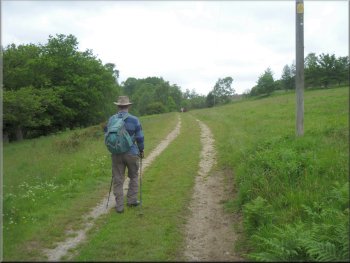
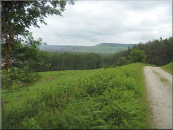
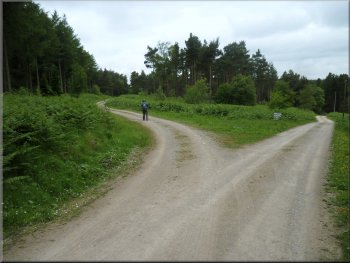
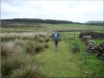
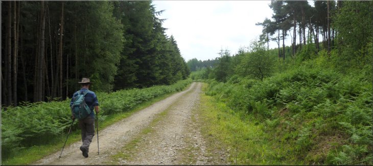
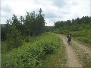
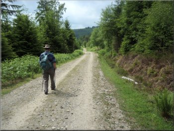
We followed the public footpath along this forest access road for a little over 1km to map ref. SE590907 to a junction in the tracks at the south eastern corner of Roppa Wood. Behind us there was a fine view one of the 'Tabular Hills' with Bedlam Rigg along the top of it running out to Rollgate Bank and Birk Nab at the northern end of the hill. |
We followed the path as it swung round to our left to join a stony forest access track at map ref. SE560906. As we joined this track there was a roe deer grazing on the bank at the side of the track ahead. It stood and looked at us for a while before trotting off into the woodland and out of sight.
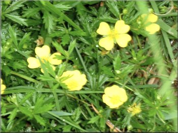
Tormentill by the path
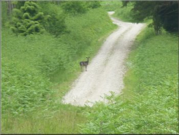
Roe deer on the access road ahead of us
Looking back to Birk Nab at the end of Bedlam Rigg
|
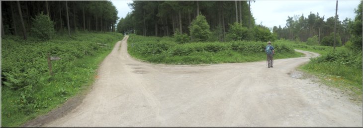
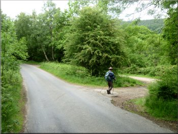
Turning right at the south east corner of Roppa Wood towards Potter House Farm . . .
|
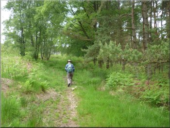
. . . then turning left to follow the track through Roppa Wood
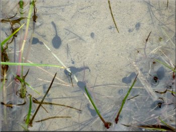
Tadpoles thriving in a puddle by the track
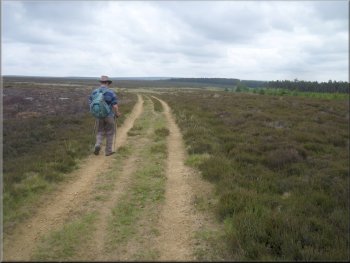
Moorland track following the edge of Roppa Wood
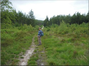
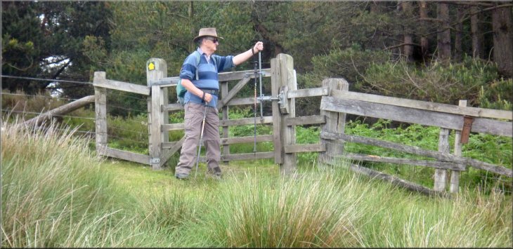
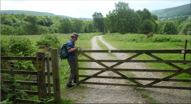
Here we crossed the stile from the forest to the open moor and turned right to follow a moorland track along the edge of the forestry. We continued behind Potter House Farm crossing a dip in the moor and walking up to the corner of East Moor Woods at map ref. SE595918. |
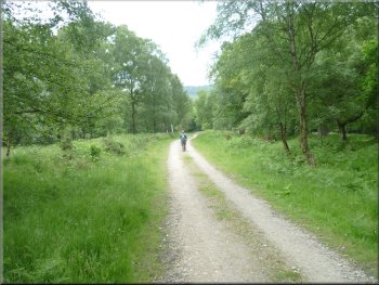
At the junction in the track we turned right towards Potter House Farm. Then straight away we kept to the left hand fork to follow a track diagonally through Roppa Wood to the north western corner of the wood at map ref. SE586916.
Approaching the north west corner of Roppa Wood
Stile from Roppa Wood to the open moor
Heading for East Moor Wood straight ahead
|
Gate into East Moor Wood
|
Path through East Moor Wood
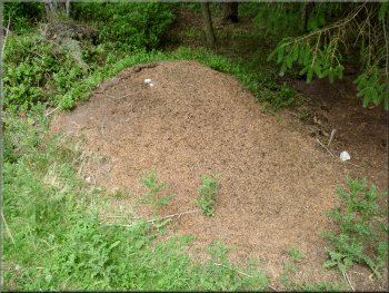
Large wood ants' nest
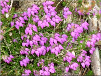
Bell heather in full bloom by the track
We crossed the access track and continued straight ahead down a slope for about 400m to another forest access track at map ref. SE601921. |
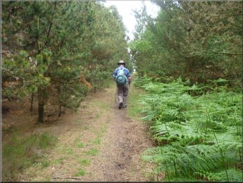
We Entered the wood through the gate and followed the path through the wood for about 250m to a forest access track.
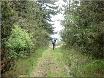
Path through East Moor Wood
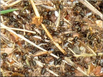
Mass of busy wood ants on their nest
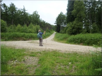
Reaching the forest track at map ref. SE601921
|
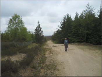
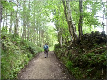
Following the forest track about 150m west of Bogmire Gill
|
Following the forest track west of Bogmire Gill
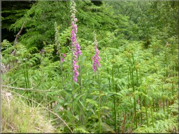
Foxgloves by the track
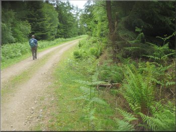
After about 1.5km along this forest track we came to the edge of the forestry at map ref. SE606906. |
At this track we turned right to walk along the track following the course of Bogmire Gill about 150m to our left
Following the forest track west of Bogmire Gill
Following the forest track west of Bogmire Gill
|
Gate into the field at the edge of the forestry at map ref. SE606906
|
Track heading back to the ford over Cowhouse Beck
Back at the ford over Cowhouse Beck
The whole route had been 8km and it had taken us a little over three hours including many photo stops and interesting encounters like the roe deer and numerous wood ant nests seething with activity. |
Here we passed through the gate and followed the track across the field where we had seen the nervous cattle at the start of the walk, but no sign of them now. We followed the track to the ford and crossed the footbridge next to it to retrace our steps for about 250m back to the car.
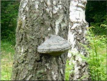
Large bracket fungus on a birch tree
Track up to the road from Cowhouse Beck
|
Back to the car at the end of the walk
|