|
2001 walks |
2002
walks |
2003 walks |
2004
walks |
|
2005 walks |
2006
walks |
2007 walks |
2008
walks |
|
2009 walks |
2010
walks |
2011 walks |
2012 walks |
|
2013 walks |
2014 walks |
2015 walks |
2016 walks |
|
2017 walks |
2018 walks |
2019 walks |
2020 walks |
|
2021 walks |
1993-2000 library |
Find a Route Index |
|
A few Routes to print out |
Request a Route... |
Route No 698 - Thursday 23 November 2017
Anglers Country Park, Haw Park Wood,
Barnsley Canal, Stubbs Wood, Anglers Park Lake
8km circuit - Wakefield, West Yorkshire . . .
Route map from Ordnance Survey
Open Space service.
Map: OS Explorer 278 Sheffield & Barnsley
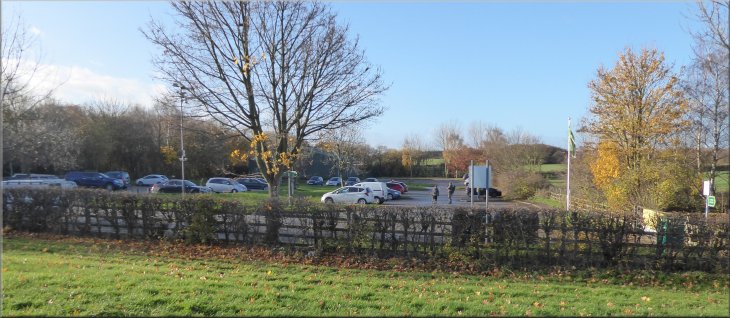
The car park next to the visitor centre at Anglers Country Park at the start of our walk
|
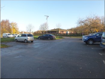
The car park off Haw Park Lane at the start of our walk
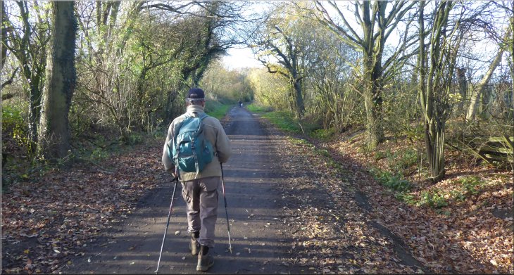
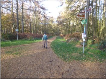
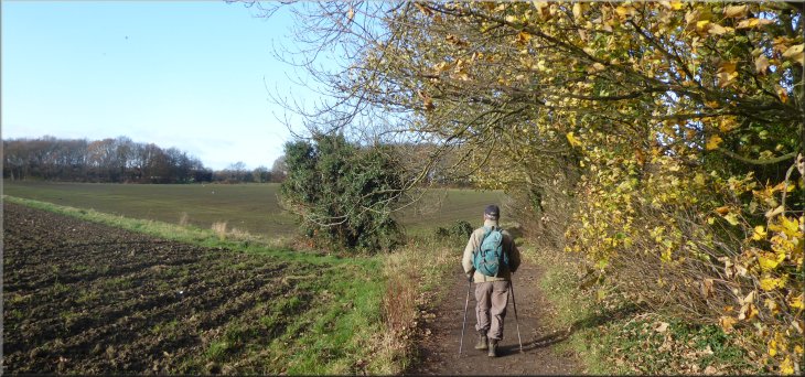
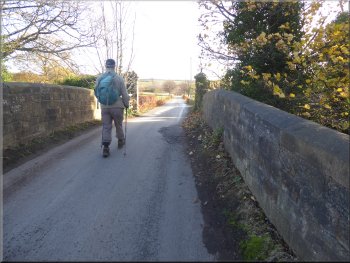
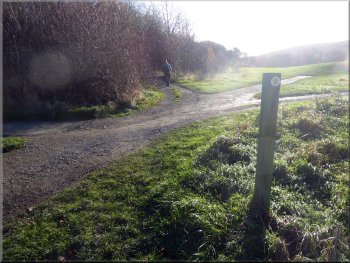
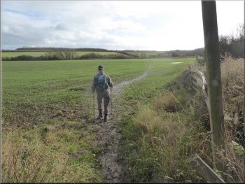
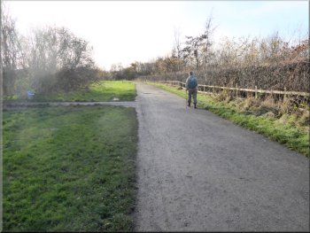
We parked off Haw Park Lane at map ref. SE 374 153, next to the Visitor Centre. From the car park we walked back out on to Haw Park Lane and turned right towards Haw Park Wood. It was a lovely clear bright day with some rain forecast for later this afternoon. |
This morning my friend, Jim, and I drove south down the A1 to Darrington and made our way westwards to the Anglers Country Park about 3km east of Sandal Castle on the edge of Wakefield.
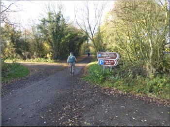
Setting off along Haw Park Lane from the car park
|
Following Haw Park Lane to Haw Park Wood
|
End of the public road (Haw Park Lane)
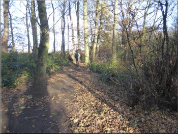
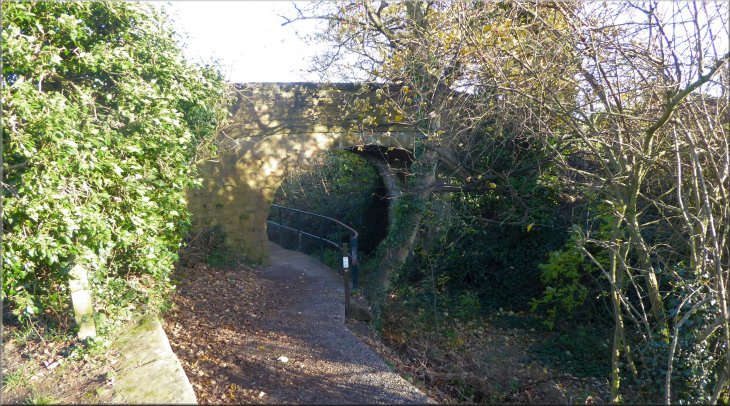
Path entering Haw Park Wood
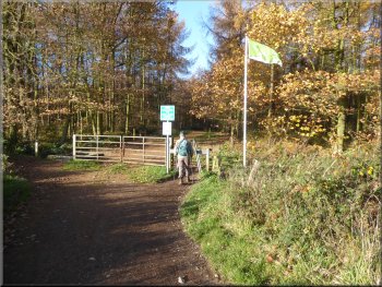
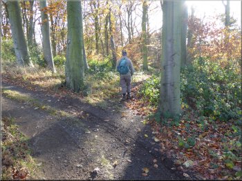
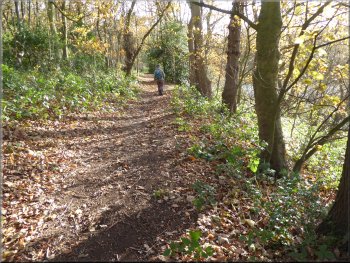
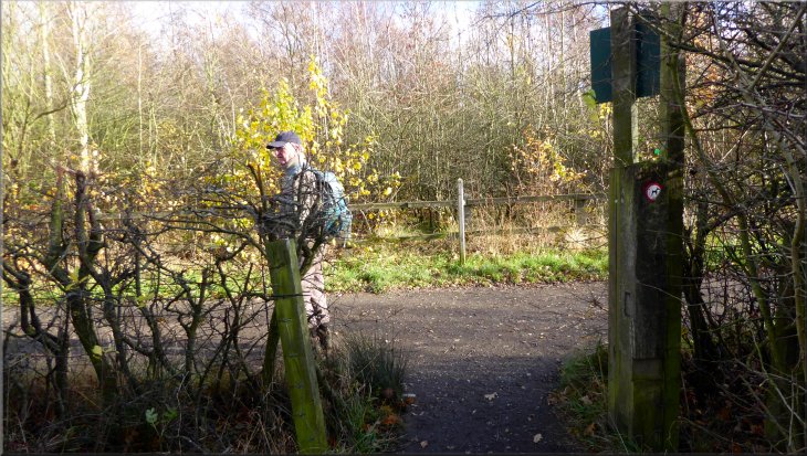
There was a green flag flying from a tall flag pole at the gate but I don't know what its significance was. We followed the track through the woodland along part of the 'Trans Pennine Trail'. |
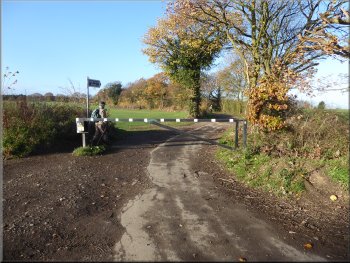
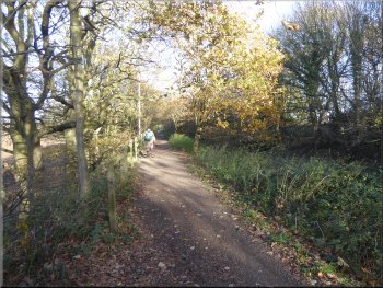
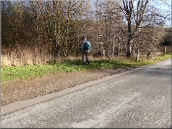
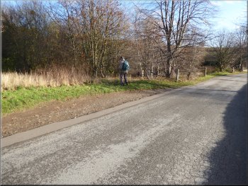
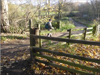
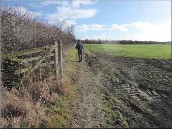
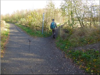
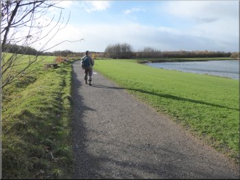
After about 300m the public road ended at a barrier and we continued beyond the barrier along a tree-lined lane around the edge of the fields. After another 400m around the field edge we came to a gate into Haw Park Wood.
Public footpath along the lane at the field edge
'Trans Pennine Trail' through Haw Park Wood
|
Trans Pennine Train next to the old nature reserve wall, the gate on the right leads to a path around the woodland edge
|
Trans Pennine Trail next to the nature reserve wall
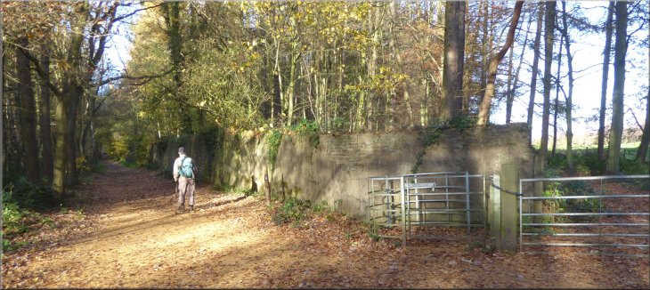
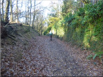
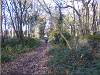
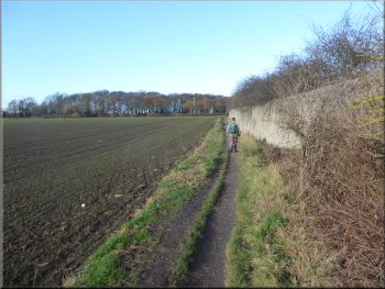
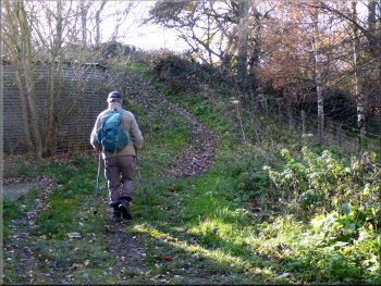
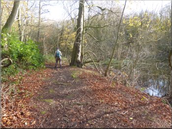
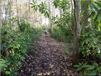
The soft sandstone of the wall was quite badly eroded. On one of the information boards we had passed along the way it explained that the wall had been built in the 1800's for the local squire who was an ardent conservationist. The purpose of the wall was to keep out poachers and protect the wildlife inside this private reserve. |
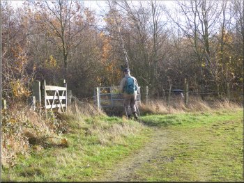
After about 200m along the woodland track at map ref. SE 367 154, we came to a gate at the edge of the wood. There was a public footpath through the gate and around the edge of the wood but we did not take this path. From the gate there was a high stone wall running north west up through the woodland.
Trans Pennine Trail next to the nature reserve wall
|
Still following the Trans Pennine Trail next to the nature reserve wall hidden behind the bushes
|
Trans Pennine Trail next to the nature reserve wall
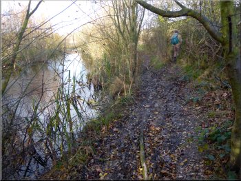
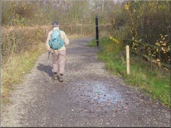
After about 250m across the fields we came to the Wakefield-Barnsley Canal. The canal is disused and drained but the deep wooded channel remains and we followed the track along the east side of the canal for about 150m to a bridge over the canal channel. |
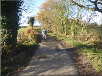
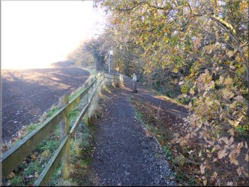
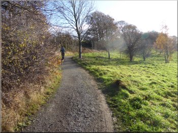
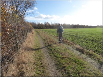
We followed the track with the tall stone wall on our right for about 500m through the woodland. From the edge of the woodland we continued along the track with arable fields on our left and the squire's tall stone wall on the right of the track.
Joining the path by the Barnsley Canal
|
Crossing the bridge over the Barnsley Canal
|
Following the path along the side of the Barnsley Canal
Following the path along the side of the Barnsley Canal
Here we came to a road bridge over the canal. The path beside the canal continued under the bridge but we followed a path up a ramp to the road and turned right to cross the canal on the road bridge. |
We crossed the bridge and then turned right off the track to follow a path along the west side of the canal channel. We walked along the wooded path beside the canal channel for about 500m to map ref. SE 360 165.
Following the path along the side of the Barnsley Canal
The ramp up from the canal to the road bridge
|
Bridge carrying the road to Walton Hall over the Barnsley Canal
|
Crossing the Barnsley Canal on the road bridge
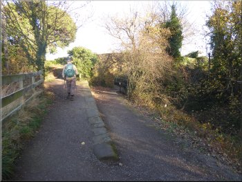
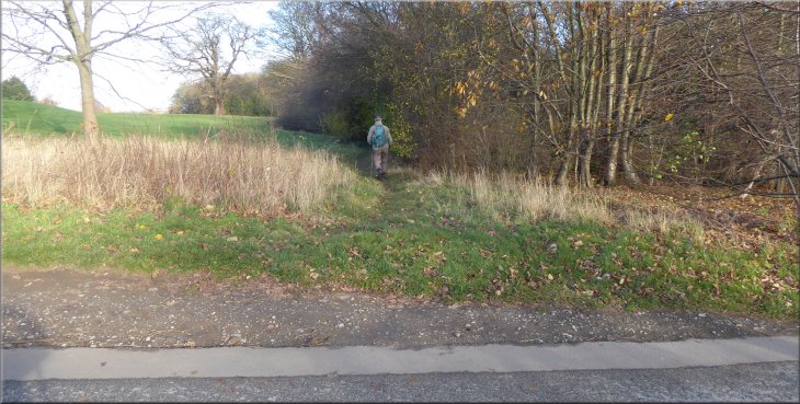
Turning off the road about 250m from the canal
At our turning the path is well worn but there is no sign post. About 10m along the path from the road there is an old faded way-mark post at the side of the path but we did not see it from the road. |
We walked along the road across the golf course towards Walton Hall for about 250m to a public footpath on the left hand side of the road. Along the way there are signs warning the public not to walk on the golf course.
Turning off the road about 250m from the canal
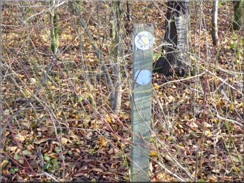
Faded old way-marker by the path near the road
|
Following the path from the road to by-pass the Waterton Park Hotel complex
|
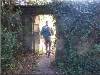
Following the path through a gap in the wall
Path by-passing the hotel complex
Path across the golf course to Stubbs Wood
We continued up the hillside across the golf course, heading away from the hotel to Stubbs Wood around the north side of the lake below us. There was a lovely view of the lake and Walton Hall on its little island below us. |
We walked along this path for about 100m then turned right through an opening in the stone wall on our right. We followed the public footpath around the Waterton Park Hotel complex.
Path by-passing the hotel complex
Path by-passing the hotel complex
Path across the golf course to Stubbs Wood
|
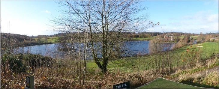
Looking back across the lake to Walton Hall from the edge of Stubbs Wood above the lake
|
The path to our right off the track
Lake side path through Stubbs Wood
Narrow muddy path next to the small lake
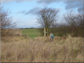
We continued along this path following the 'U'-shaped lake shore. From the end of the lake the path continued up through the woods to a much smaller lake on the left of the path. We walked along the narrow path from the small lake along the field edge for about 200m to a stile at a junction in the paths at map ref. SE 368 164. |
Just after the track entered the wood it turned left climbing up to the golf course above. On the crown of the bend we turned right off the track to follow a footpath above the edge of the lake. There is no sign to mark this important turning on to this pretty path through Stubbs Wood.
Path through Stubbs Wood above the edge of the lake
Path climbing up to a small lake at map ref. SE 369 161
Stile at a junction in the paths at map ref. SE 368 164
|
Stile at a junction in the paths at map ref. SE 368 164
|
Path heading southeast across a field of winter cereals
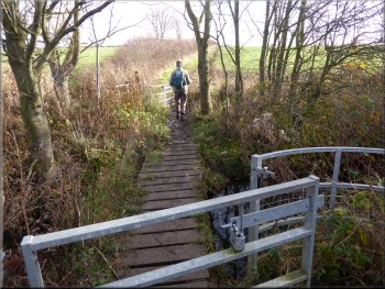
Footbridge over a stream feeding into Waterton Park lake
Footpath up towards Anglers Park lake
We crossed the footbridge and then continued up hill along the edge of two more fields to gate into some woodland. We turned left through the gate and followed the path for about 100m to a track at map ref. SE 374 159. |
Here we crossed the field boundary on our right and turned right to follow a muddy well walked path heading southeast across a large field of winter cereals. At the end of this first field we crossed a very marshy area to a footbridge over a small stream.
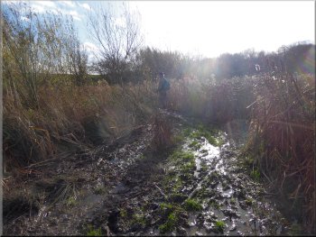
Marshy approach to the footbridge
Footpath up towards Anglers Park lake
Entering the woodland strip around Anglers Park lake
|
Turning left to follow the track around Anglers Park lake
|
Following the track around Anglers Park Lake
Following the path to the lake shore
A kestrel was hovering over the short grassy area next to the lake and it flew to perch on a wooden post near the path about 60m ahead of us. We stood very still whilst I fiddled with my camera and managed to get quite a nice photo of it. |
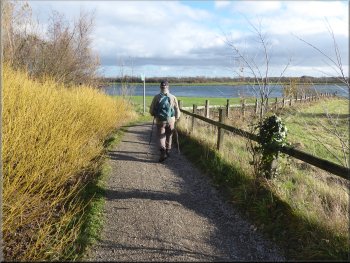
At the track we turned left to follow the track through the wooded area around the Anglers Park Lake. After about 750m along this track we turned right along a gravel path leading out to the lake shore. We walked along this path around the northern end of the lake.
Turning right on to the path to the lake shore
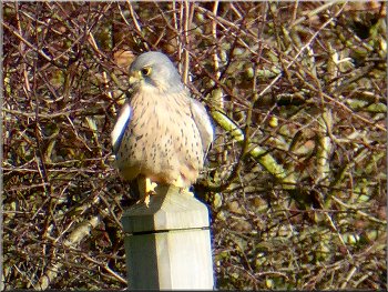
Kestrel that perched on a post ahead of us
|
Following the path around the northern end of the lake
|
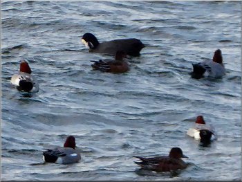
Wigeon (& others) bobbing on the choppy lake
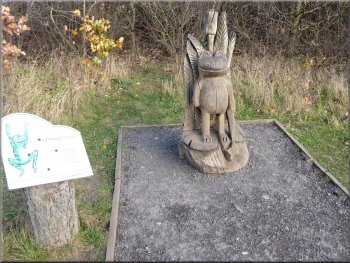
Sculptures along the witch's trail around the lake
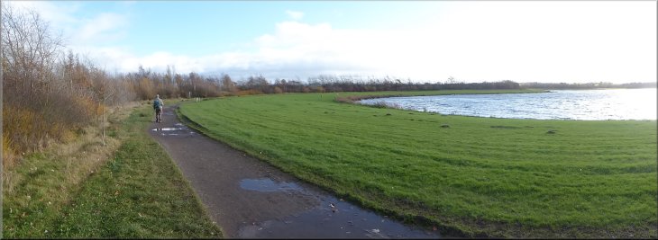
Despite the wind it was still pleasant in the autumn sunshine. The water in the lake was becoming quite choppy now and there were small groups of wildfowl bobbing on the water as we passed by. |
We continued along the path around the lake passing a series of wooden sculptures illustrating a children's witch story. There was a strong gusty wind now.
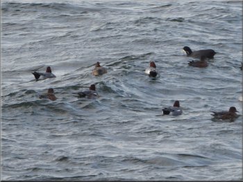
Wigeon (& others) bobbing on the choppy lake
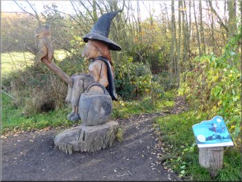
Sculptures along the witch's trail around the lake
|
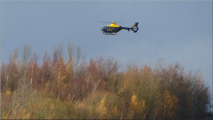
Police helicopter trying to land in the strong gusty wind
|
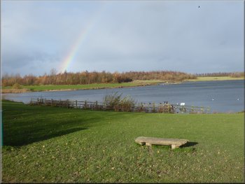
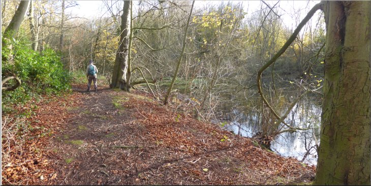
A last look at the lake before heading back to the car park
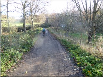
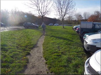
Following the path back to the visitor centre & car park
From the southern end of the lake we followed the path back to the visitor centre next to the car park and the end of our walk. The whole route had been 8km and it had taken us about 3 hours to walk. |
A police helicopter flew over from the northeast and made several attempts to land behind the trees on the western side of the lake. But I think the gusty wind was just too strong and eventually the pilot gave up and the helicopter returned the way it had come.
Leaving the lake heading for the car park
Returning to the car park at the end of our walk
|
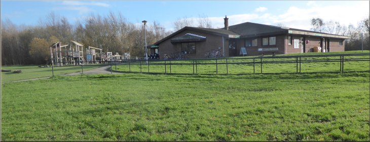
The visitor centre next to the car park at the end of our walk
|