|
2001 walks |
2002
walks |
2003 walks |
2004
walks |
|
2005 walks |
2006
walks |
2007 walks |
2008
walks |
|
2009 walks |
2010
walks |
2011 walks |
2012 walks |
|
2013 walks |
2014 walks |
2015 walks |
2016 walks |
|
2017 walks |
2018 walks |
2019 walks |
2020 walks |
|
2021 walks |
1993-2000 library |
Find a Route Index |
|
A few Routes to print out |
Request a Route... |
Route No. 702 - Thursday 28 December 2017
Bolton Road, Bolton Bridge, Beamsley Lane,
Gibbeter Farm, Currer Lane, Langbar Lane,
West Hall Farm, River Wharfe, Dales Way - 10km
Wharfedale, Yorkshire Dales . . .
Route map from Ordnance Survey
Open Space service.
Map: OS Explorer 297 Lower Wharfedale & Washburn Valley
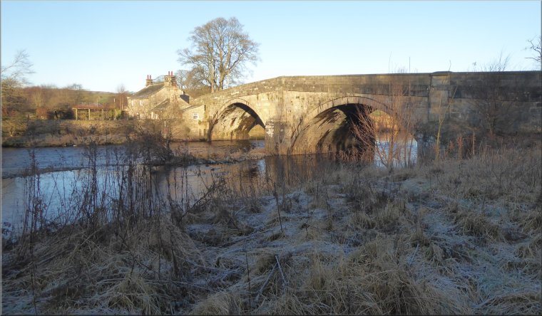
Our starting point at the lay-by on the B6160 a few hundred metres south of Bolton Bridge
|
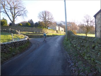
Setting off from the lay-by on the B6160
Footbridge over Hambleton Beck
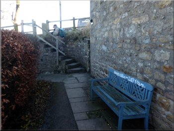
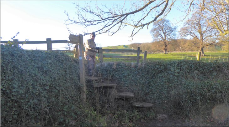
Steps up to the road at Bolton Bridge
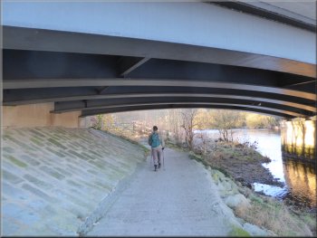
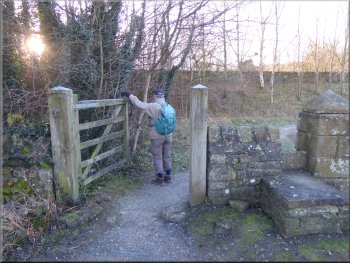
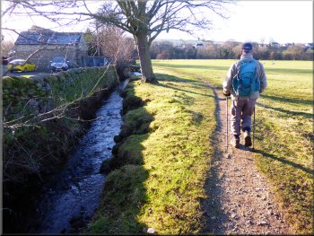
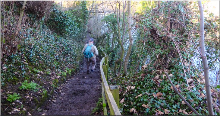
Through the gate we crossed a wooden footbridge over Hambleton Beck and followed a footpath next to the River Wharfe that took us under the A59 road bridge across the Wharfe. We continued along this path down the side a stone built house to some steps up onto the road at the western end of Bolton Bridge. At the road we turned right and walked across Bolton Bridge. |
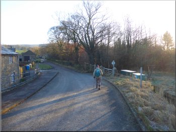
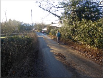
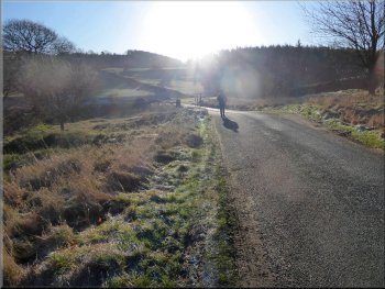
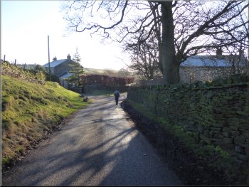
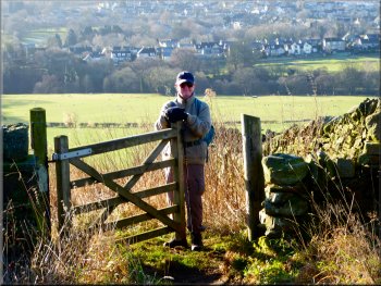
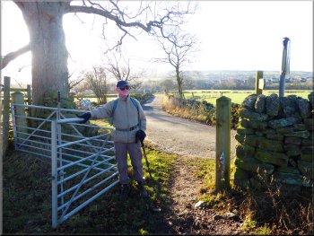
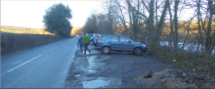
The weather forecast for today predicted a sharp cold day with clear blue skies and bright sunshine and a light breeze. My friend, Jim, and I drove out to a lay-by on the B6160 at map ref. SE 070 525 next to the River Wharfe a few hundred metres south of Bolton Bridge. From the lay-by we walked northwards along the road side for about 200m to a pedestrian gate on the right hand side of the road.
Pedestrian gate off the B6160
Riverside path under the A59
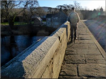
Crossing Bolton Bridge
|
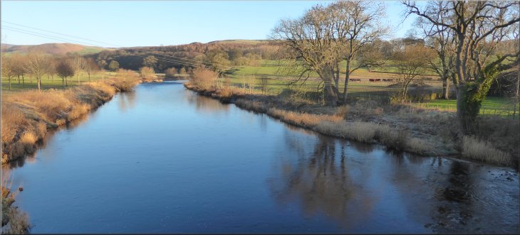
The River Wharfe looking upstream from Bolton Bridge
|
Nearing our right turn off the road after Bolton Bridge
Riverside path under the A59 road bridge
End of the roadside path at the drive to Beamsley Hall
We turned right off the A59 and walked along Beamsley Lane
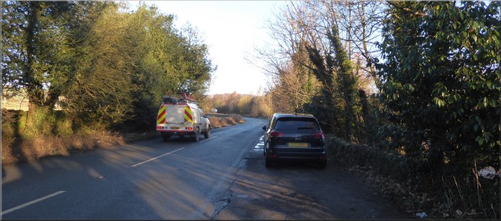
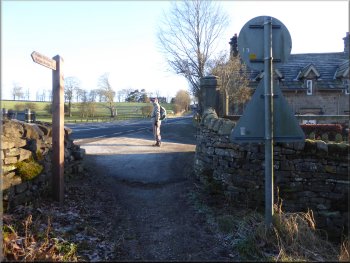
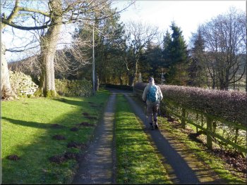
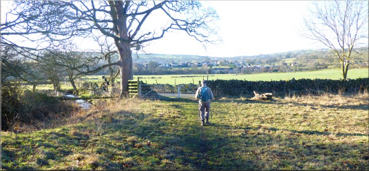
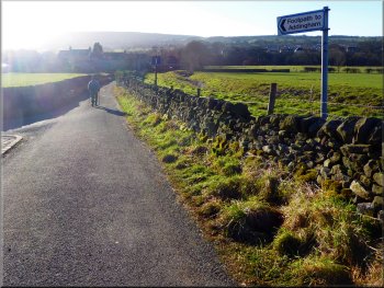
After about 400m we came up to the side of the road at the driveway into Beamsley Hall. We continued along the footway at the side of the very busy road for another 120m to the junction with Beamsley Lane. Here we turned right off the main road to follow Beamsley Lane through Beamsley village for about 500m to a road junction at map ref. SE 078 523. At the junction we turned left along Lanshaw Bank. |
There was a lovely view upstream from the bridge with the low winter sun illuminating the frosty fields. We continued across the bridge and about 100m from the bridge we turned right off the road to follow a footpath to the eastern bank of the River Wharfe and under the A59 road bridge. On the south side of the A59 we turned left to follow a path heading eastwards next to the A59.
Our turning off the road heading to the river bank
Path next to the A59
Following the footway next to the busy A59
Turning left to follow the road up Lanshaw Bank
|
Looking back over Beamsley village from the road up Lanshaw Bank
|
Climbing the road up Lanshaw Bank
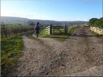
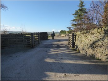
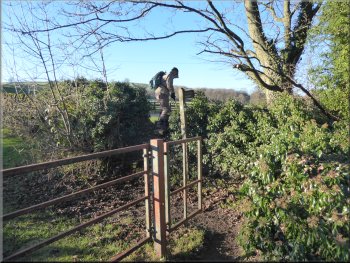
Through the gate we turned sharp left to Gibbeter Farm
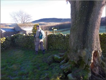
Path skirting round Gibbeter Farm
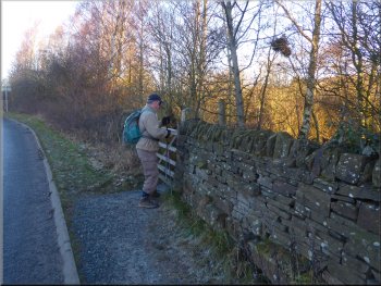
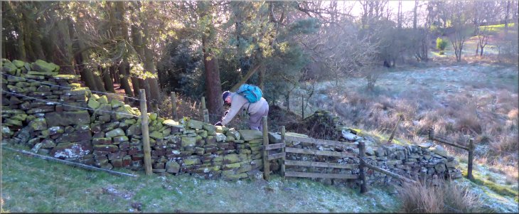
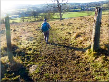
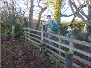
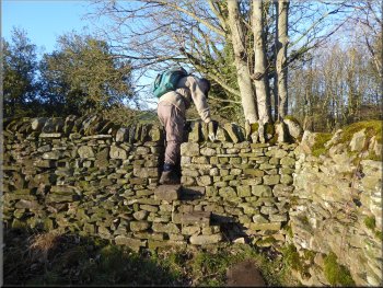
As we reached the stone wall at the top of the field next to the far gate we noticed a stone step stile where the path crosses the wall. I suspect from the notice that some people do not see the stile and continue into the farm. From the far side of the stile the path skirts around the farm and then crosses the next field diagonally to a stile in the wooden fence on the right. From this stile the path heads up to the top of the field to a very tall ladder stile over a deer fence around a plantation. |
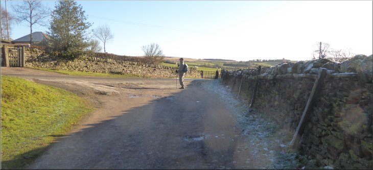
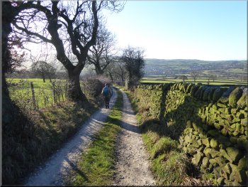
We followed Lanshaw Bank climbing up the hillside for a little over 1km to map ref. SE 086 525. Here we turned right off the road just before a left hand bend. There was a farm gate into the fields and a finger post marking a public footpath to Currer Hall. We followed this path climbing up the fields to Gibbeter Farm. There is a little notice on the gate into the farm asking people not to walk through the farmyard. At first we could not see a way forward with the bright low winter sun in our eyes.
Nearing our turning off the Lanshaw Bank road
Following the field path up to Gibbeter Farm
Looking back to the stone step stile at map ref. SE 088 523
|
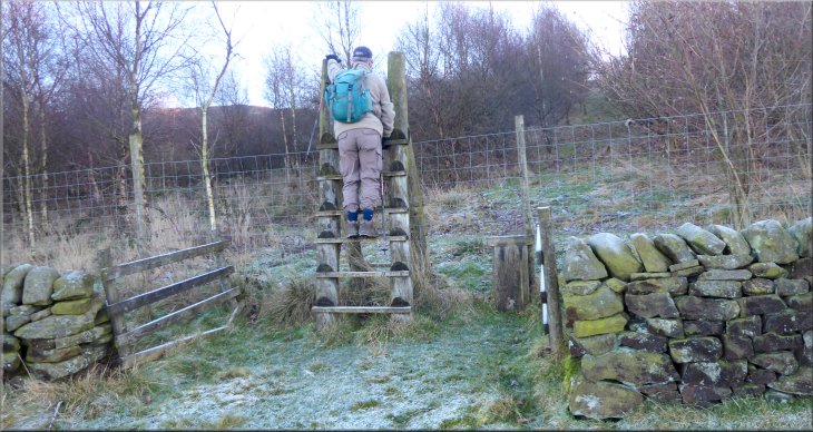
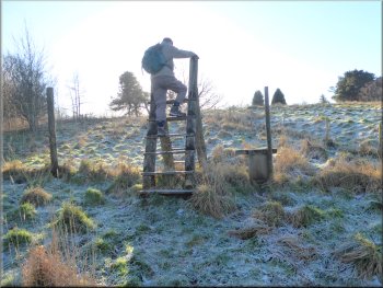
Ladder stile over the high deer fence around the Wardla Hill plantation
|
Path to the top of Wardla Hill
Stile to the drive from Howber Hill Farm
Right turn off the farm access drive
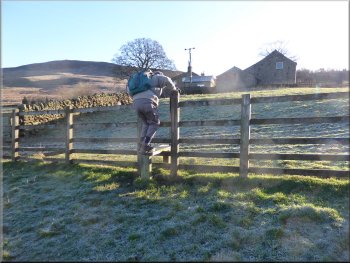
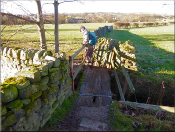
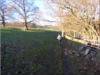
We turned left and walked along the farm access drive away from the farm for about 80m. Just beyond the gate posts at the farm entrance we turned right and crossed a stile onto a public footpath heading southwards across the fields for about 500m to the edge of some woodland at map ref. SE 091 516. |
We climbed over the ladder stile and continued straight up the hillside ahead. We followed a track around the top of the hill and almost missed the ladder stile out of the plantation about 50m to the left of the track. We continued straight ahead for about 70m to a stile over a wall onto the drive from Howber Hill Farm.
Ladder stile out of the Wardla Hill plantation
The drive leading away from Howber Hill Farm
Public footpath heading southwards across the fields
|
Stile into woodland from the field path
|
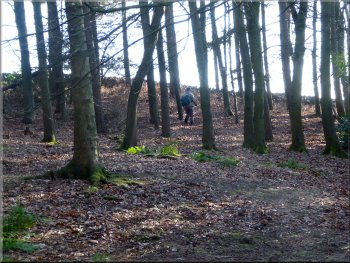
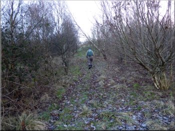
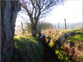
Path through the woodland
Looking back to the stone step stile out of the woodland
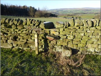
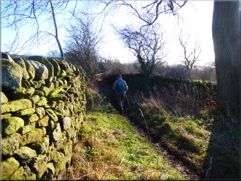
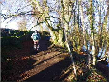
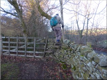
To our left the road is called Currer Lane and to our right the road is called Hardings Lane. Looking back from the road we could see a stone step stile over the wall at the edge of the woodland that we could have crossed but it is completely hidden on the woodland side of the wall by a large clump of rhododendron bushes. |
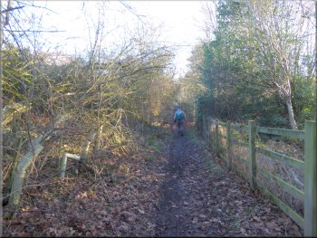
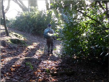
We crossed the stile at the edge of the woodland and followed the path through the woodland to the drive from Farrand House next to an ornamental pond. At the drive we turned left and followed the drive out to the road, at map ref. SE 092 515.
There is a stile through the wall behind the rhododendrons
Access road heading out to Hardings Lane
|
Turning right on to Hardings Lane from the access road
|
Nearing our right turn off Hardings Lane
Bearing left to walk along Langbar Lane
Our left turn to follow the path around Low Lathe
Gate at the end of the sunken track to a field path
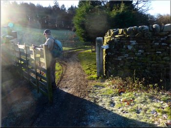
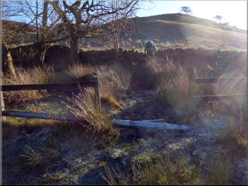
After about 400m, at map ref. SE 090 509, we turned left off the track to follow a narrow path skirting round the property at Low Lathe. The path continued down the hillside becoming a sunken path so that the grazing sheep in a field by the path we at our shoulder height. We continued along this path to West Hall Lane at map ref. SE 086 503. |
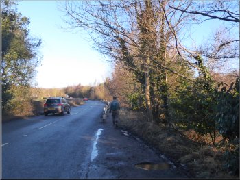
At the road we turned right and walked along Hardings Lane for about 200m. Here we turned left off the road across a cattle grid along the driveway to several properties. A few metres past the cattle grid we turned left to follow a fenced track called Langbar Lane down the hillside.
Our right turn off Hardings Lane across the cattle grid
Langbar Lane heading down the hillside
Sunken track heading down the hillside
Field path down to West Hall Lane
|
Gate from the field path on to West Hall Lane
|
Gate from the field path on to West Hall Lane
Turning right off the access road to West Hall farm
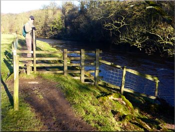
Path next to West Hall Beck
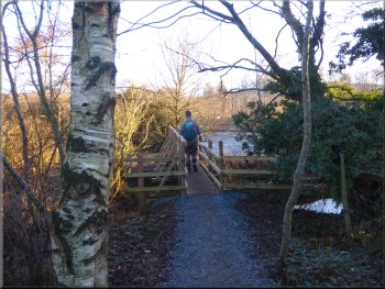
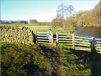
Once across the beck the path turned left and followed the beck along the edge of the field. We followed the path to a foot bridge consisting of a suspension bridge across the River Wharfe. We crossed the river and on the far side we joined the route of the Dales Way.
|
From the gate onto West Hall Lane we walked along the lane for about 150m and then at a left hand bend in the lane we kept straight on along the access road to West Hall farm. At the farm entrance we turned right through a pedestrian gate and over a wooden footbridge over West Hall Beck.
The access road to West Hall farm
Footbridge over West Hall Beck
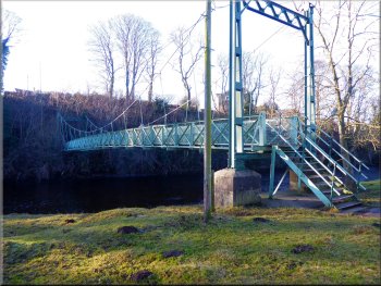
Pedestrian suspension bridge over the River Wharfe
|
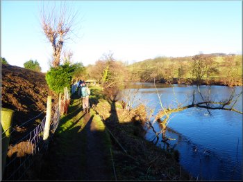
Joining the route of the Dales Way heading northwards along the west bank of the River Wharfe
|
Nearing the caravan site along the Dales Way path
Leaving the caravan redevelopment site
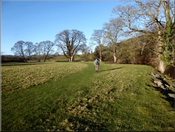
Then we continued along the path through the fields by the river bank. About 500m from the caravan redevelopment site, the Dales Way path climbed up almost to Bolton Road. Then over a stile the path turned sharp right down a steep bank back to the riverside. |
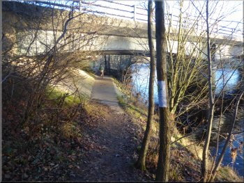
We walked along the Dales Way route for about 300m to a caravan site. At least it was a caravan site last time I was here a few years ago. Now it was a large construction site as the whole area was being redeveloped. We made our way around the construction site between the safety barriers.
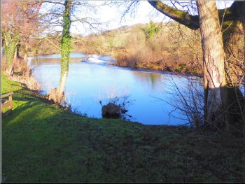
Weir on the R. Wharfe at the start of the caravan site
The Dales Way riverside path
|
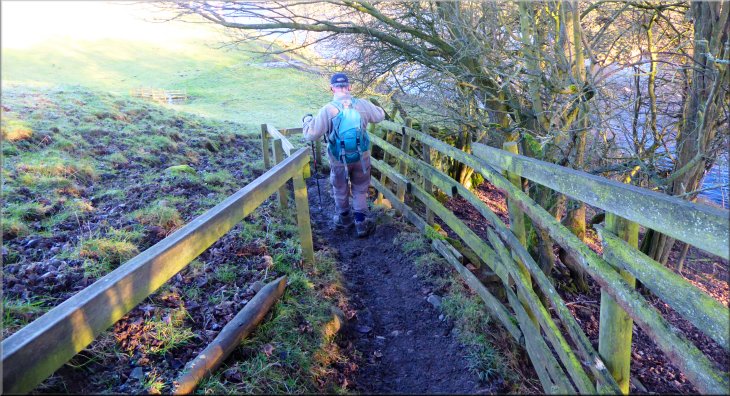
Path down a steep bank back to the riverside
|
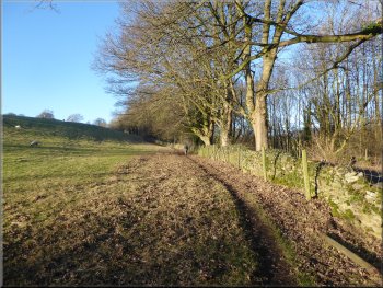
Continuing upstream along the Dales Way path
Path to the B6160 around a roadside property
Stile to a farm access road back to the B6160
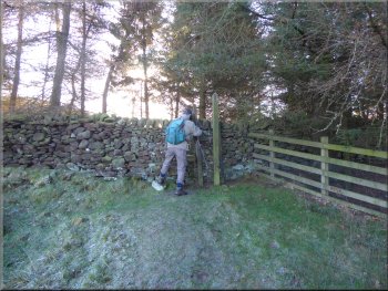
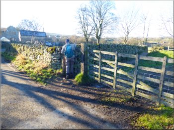
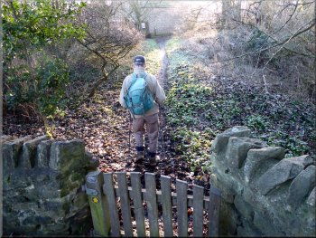
The path led us to the back of an old Quaker Meeting House & burial ground that is open to visitors. From the front of the Quaker Meeting House we walked a few metres along an access drive and then turned right to cross a high awkward stile to join another farm access road. We followed this access road (still on the Dales Way route) back to the B6160. Where the farm access road joins the B6160 there is a high stone step stile up to the field next to the road.
|
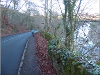
Still following the route of the Dales Way we continued along the riverside path for abut 1.2km. Here the path skirts round the edge of a property that fronts onto the B6160, Bolton Road. At the road the path crosses straight across to a pedestrian gate opposite but the road was so busy we had to wait for several minutes before there was a safe gap in the traffic to cross.
Continuing upstream along the Dales Way path
Gate on the far side of the B6160 to a Quaker Meeting House
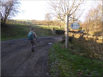
Nearing the B6160 along the farm access road
|
Stone step stile up from the edge of the B6160 to the field above the road
|
Path along the edge of the fields above the B6160
Path along the edge of the fields above the B6160
Ready to cross the B6160 to a roadside footway opposite
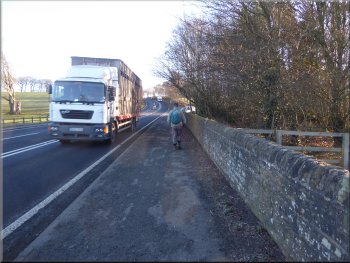
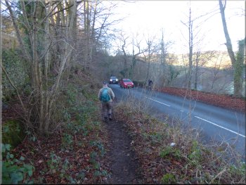
We crossed the busy road to a footway on the far side and followed the roadside footway around a right hand bend with River Wharfe below us on our right. The road dropped down around the bend to the lay-by where we had parked and the end of our walk. The whole route was about 10km and it had taken us around four hours to walk on this lovely crisp bright sunny winter's day. It had been a lovely day out. |
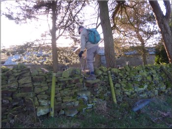
We climbed up this stone step stile to the field above the road and followed a path along the edge of the field for about 600m to the edge of some woodland at map ref. SE 071 523. Here in the corner of the field next to the woodland there was a stile. We crossed the stile to a track leading down the roadside bank from the field along the edge of the woodland to the road.
Path along the edge of the fields above the B6160
Stile from the field path to a track down to the B6160
Footway beside the B6160 heading back to the lay-by
|
Returning to the lay-by off the B6160 at the end of our walk
|