|
2001 walks |
2002
walks |
2003 walks |
2004
walks |
|
2005 walks |
2006
walks |
2007 walks |
2008
walks |
|
2009 walks |
2010
walks |
2011 walks |
2012 walks |
|
2013 walks |
2014 walks |
2015 walks |
2016 walks |
|
2017 walks |
2018 walks |
2019 walks |
2020 walks |
|
2021 walks |
1993-2000 library |
Find a Route Index |
|
A few Routes to print out |
Request a Route... |
Route No. 708 - Thursday 22 February 2018
Lockton, Staindale, Low Dalby Visitor Centre,
Fox & Rabbit pub/farm, Westfield Lane circuit - 8km
North York Moors . . .
Route map from Ordnance Survey
Open Space service.
Map: OS Explorer OL27 North York Moors Eastern area
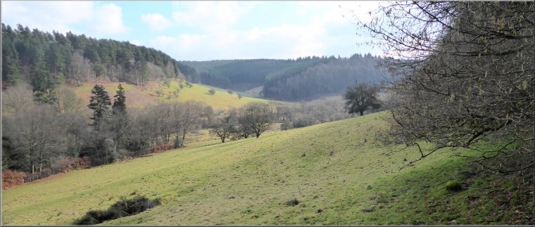
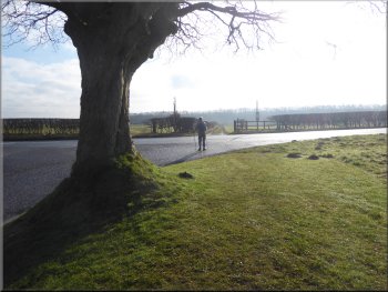
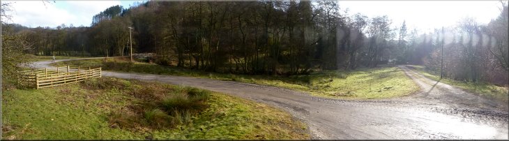
Looking down the valley of Levisham Beck from our parking spot on the edge of Lockton
|
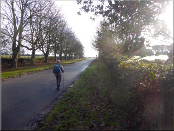
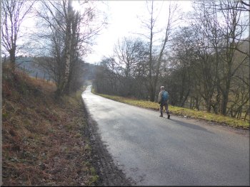
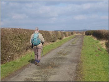
Setting off past Lockton cemetery to the A169 junction
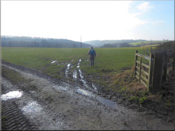
Track across the field from the A169
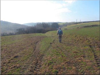
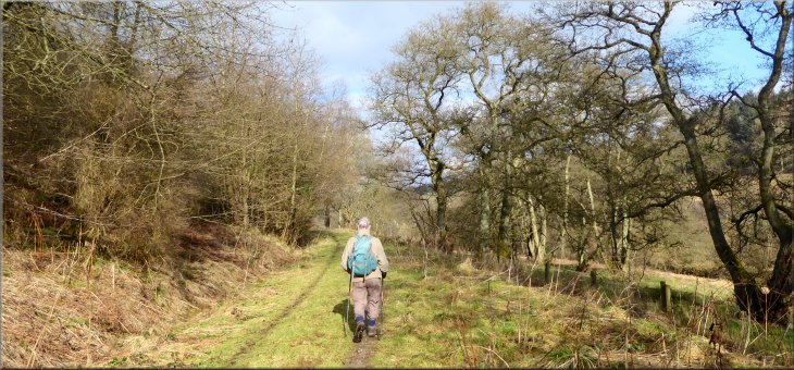
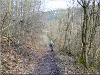
We crossed the main road to the field gate opposite and entered the field. There is a footpath along the field edge but that is not our route today. Our path, not well defined on the ground at this point, our path crosses the field diagonally to the point where the overhead power line crosses the hedge at the southern boundary of the field. About halfway across the field a track starts to develop and is in a cutting by the time it reaches the field gate at the hedge.
|
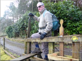
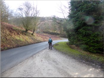
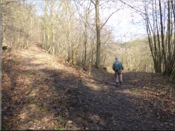
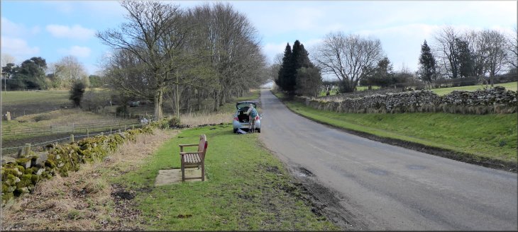
The weather forecast for today promised a fine dry day with some good sunny spells. My friend, Jim, and I drove to Lockton on the edge of the North York Moors off the A169 about 9km north of Pickering. We parked opposite the cemetery on the edge of the village at map ref. SE 846 899. We set off from our parking spot up the road, past the cemetery to the junction with the main Pickering to Whitby road, the A169.
Waiting to cross the A169 at the junction
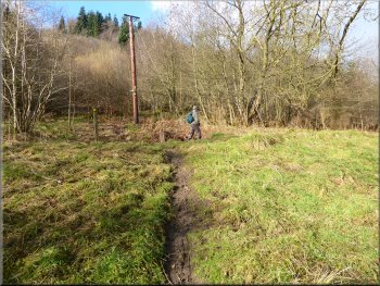
Track in a shallow cutting as we neared the edge of the field
|
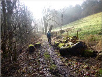
Well defined farm track leaving the field
|
Wooded track heading down into Staindale
Wooded track heading down into Staindale
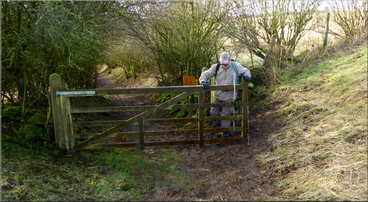
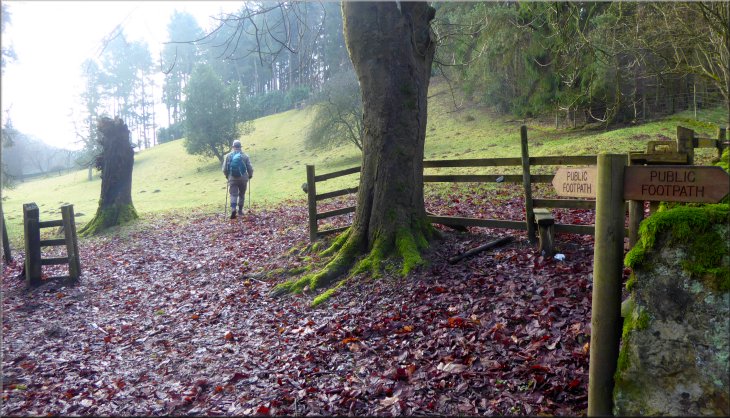
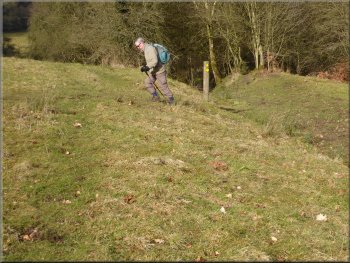
From the gateway into the field we followed the path climbing up the slope on our right to a stile at the top edge of the field. |
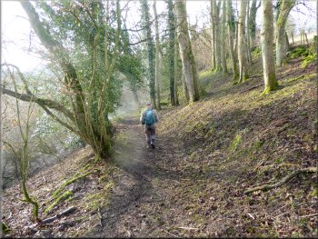
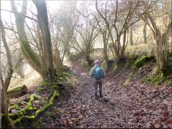
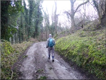
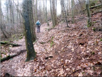
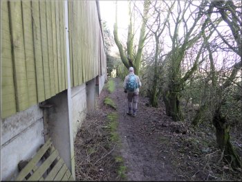
We passed through the gate and continued along a wooded track descending into Staindale. We followed this very pleasant wooded track for about 650m to the field just before Staindale Lodge.
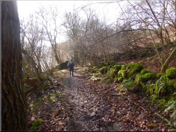
Wooded track heading down into Staindale
The track in Staindale nearing Staindale Lodge
|
Starting to climb up the grassy bank in the field just before Staindale Lodge
|
Stile onto the driveway at the top of the field
Following the track down into Staindale
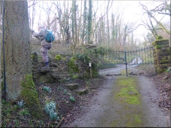
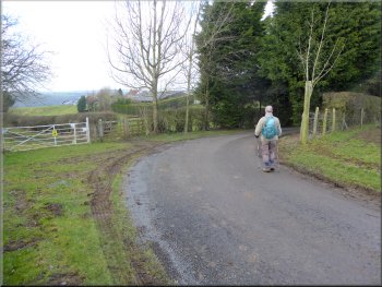
On the left hand side of the gates there is a stile onto the road. We crossed the stile which brought us to the end of the public road. A track continued down the hillside from the end of the public road and we followed the track through the woodland and across some open grassland to the bottom of the valley.
|
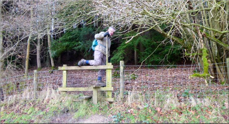
We climbed over the stile, it's quite high on the field side, onto the tarmac drive that leads down to Staindale Lodge. At the driveway we turned right to go up the hill away from Staindale Lodge. After about 150m we came to some iron gates where the driveway meets the public road.
Stile to the road at the end of the driveway
Reaching the open grassland from the track in the woods
|
We followed the track around this double bend to cross the bridge over the beck
|
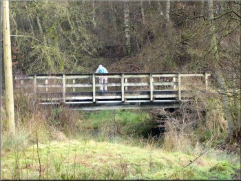
Bridge over the beck
Joining the forest drive from the track
We walked along the road past High Dalby House for about 1km to the Visitor Centre near Low Dalby. The cafe at the visitor centre was open so we stopped for a coffee and a bacon roll, a very nice break. |
Down stream Stain Dale becomes Thornton Dale and Staindale Beck becomes Dalby Beck. In the valley bottom the track made a double bend and crossed a bridge over the beck. We continued along the track over the beck and up to the road (part of the Dalby Forest Drive).
Track from the beck up to the forest drive
Following the forest drive towards the visitor centre
|
|
|
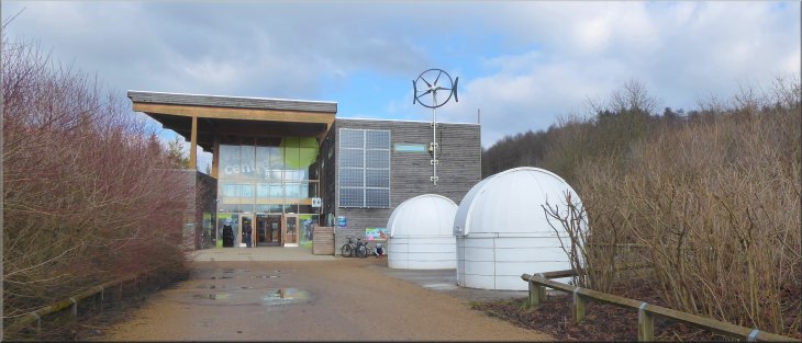
Looking back to the visitor centre after our break
|
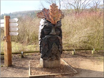
'Green Man' sculpture as we left the visitor centre
The road by-passing Low Dalby
Joining the woodland track from the muddy path
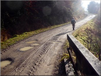
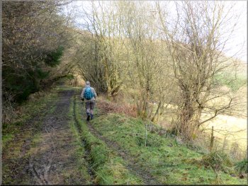
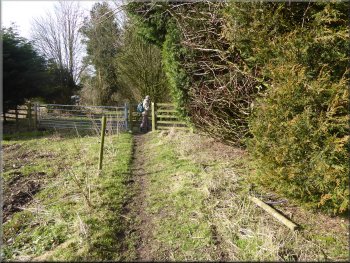
At the track we turned right to follow the track back up the valley. It's February so the track was quite muddy and a bit awkward to negotiate in places. |
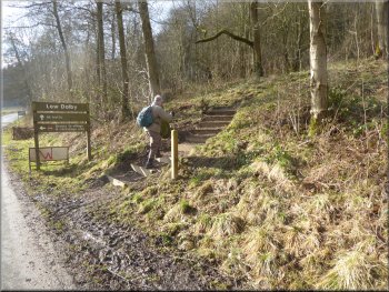
After our break we continued down the valley to the edge of Low Dalby and followed the road that by-passes the village. At map ref. SE 855 873 we turned left off the road to climb a short muddy path up to a track.
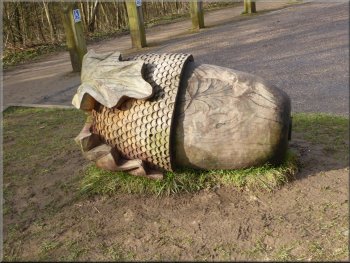
One of several large carved acorns in the visitor centre car park
Turning off the road to climb the bank to a woodland track
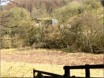
The visitor centre seen amongst the trees across the valley
|
Following the woodland track back up the valley
|
Following the woodland track back up the valley
Continuing along the woodland track up the valley
Heading across open grassland from the woodland track
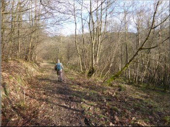
We continued along the track up the valley for another 250m to a gate into some open grassland. We followed the path across the grassland for about 250m to a path on our left that climbed straight up the hillside to a stile at the edge of the woodland (map ref. SE 851 885). |
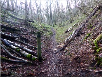
We followed the track through the woodland for about 750m to a well defined path on our left climbing steeply up the hillside. This used to be the route up out of the valley to the Fox & Rabbit on the A169, but the path has now been diverted.
Passing the turning to the old route up to the A169
Continuing along the woodland track up the valley
Turning up the grassy bank to the edge of the woods
|
Stile into the woods at the top of the grassy bank
|
Path straight up the wooded bank towards the A169
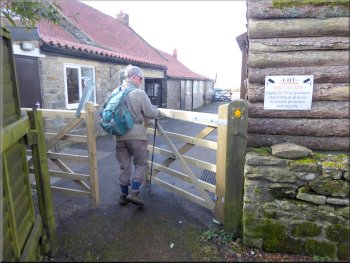
Gate from the fields to the Fox & Rabbit Farm out buildings
Heading to the Fox & Rabbit pub
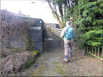
The path was fenced and signed and we continued around the farm buildings to the buildings of the Fox & Rabbit pub. We followed the path between the pub buildings out to the A169.
|
We crossed the stile and continued along the path straight up the wooded hillside to the fields above the valley. We followed the path across the fields to the outbuildings of the Fox & Rabbit Farm.
Path straight up the wooded bank towards the A169
Passing around the farm out buildings
Passing the Fox & Rabbit pub kitchens going to the A169
|
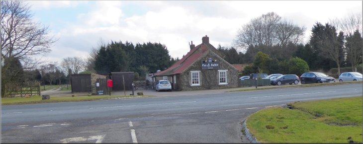
Looking back across the A169 to the Fox & Rabbit pub
|
Starting along the lane towards Farfields Farm
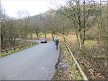
Walking along Westfield Lane towards Lockton
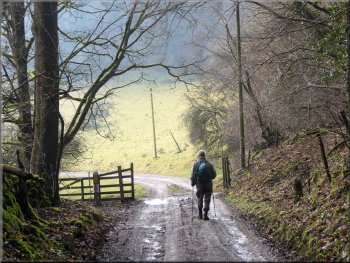
We continued round the bend past Farfields farm and along Westfield Lane for about 1.5km to the edge of Lockton village. |
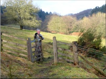
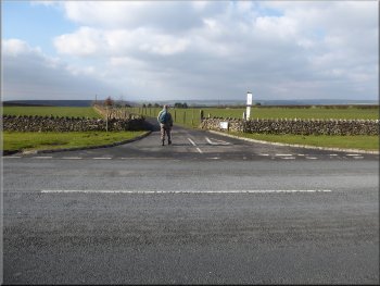
We crossed the main road to a lane opposite and followed the lane for about 400m to a sharp right hand bend.
Sharp right hand bend in the lane just before Farfields Farm
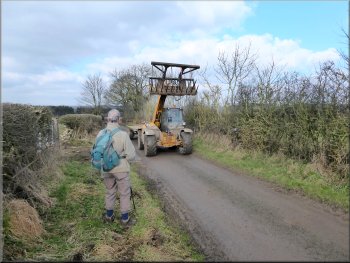
The only traffic on Westfield Lane was farm machinery
|
The green on the main street in Lockton in front of the little cafe
|
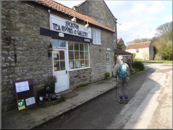
Cafe on Hudgin Lane in Lockton
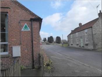
Lockton Youth Hostel
We continued past the Youth Hostel back to our parking spot and the end of our walk. The whole route had been just over 8km and including our break at the Dalby Forest Visitor Centre it had taken us about three & a half hours to walk. |
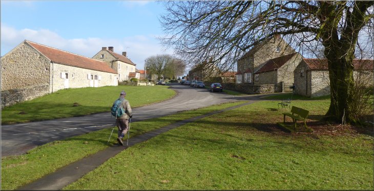
We walked along the lane called Hudgin Lane to the main street through the village where there is a small cafe, closed midweek in winter. In front of the cafe there is a pleasant green area. At the main street we turned right an followed the main street past the village church.
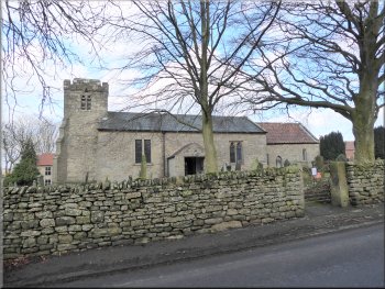
St. Giles Church on the main street in Lockton
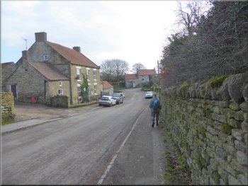
Following the road through Lockton back to our car
|
The end of our walk at our parking spot on the edge of Lockton near the cemetery
|