|
2001 walks |
2002
walks |
2003 walks |
2004
walks |
|
2005 walks |
2006
walks |
2007 walks |
2008
walks |
|
2009 walks |
2010
walks |
2011 walks |
2012 walks |
|
2013 walks |
2014 walks |
2015 walks |
2016 walks |
|
2017 walks |
2018 walks |
2019 walks |
2020 walks |
|
2021 walks |
1993-2000 library |
Find a Route Index |
|
A few Routes to print out |
Request a Route... |
Route No. 718 - Tuesday 1 May 2018
Winster Parish Church, Crag Lane, Thornyfields,
By-way crossing Lindeth Lane & A5074,
Winster House circuit - 8.5km
English Lake District . . .
Route map from Ordnance Survey
Open Space service.
Map: OS Explorer OL7 The English Lakes, South Eastern Area
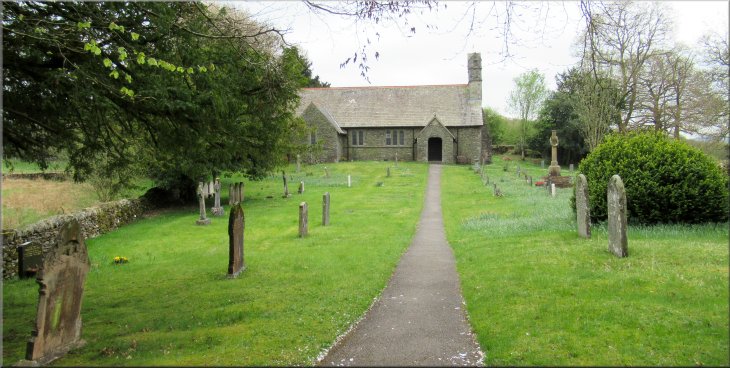
Holy Trinity Church at Winster, map ref. SD 417 930 at the start of our walk
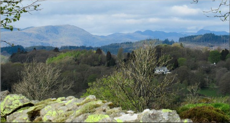
For the next few days we are staying with a group of friends in a very grand 'Holiday Cottage' on the edge of Windermere below the view point at Orrest Head. We all meet for a walk together once a month and every year we have a few days together in a comfortable cottage and a few nice walks. Each of our three walks this week is led by a different member of our group. |
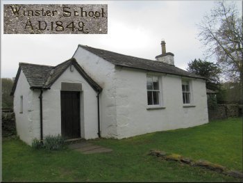
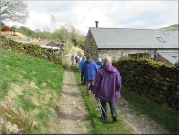
The old school rooms at Winster dated 1849 on the door lintel
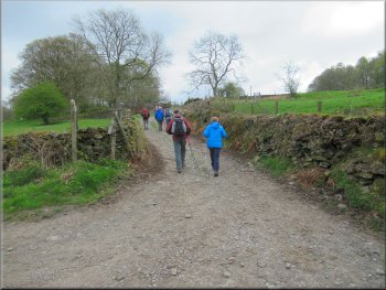
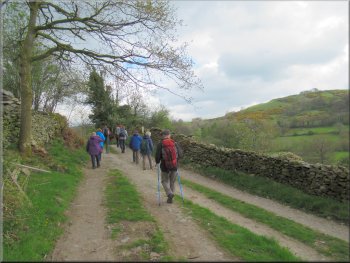
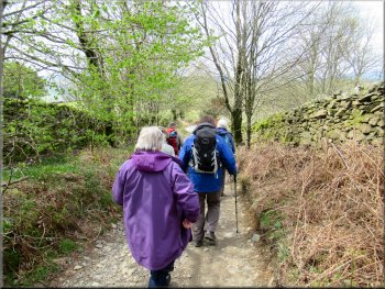
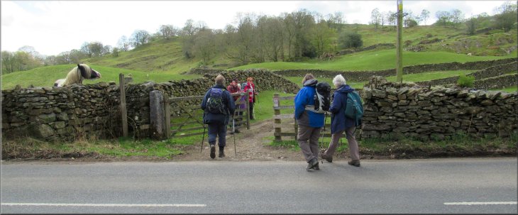
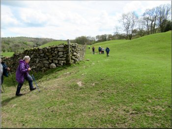
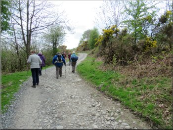
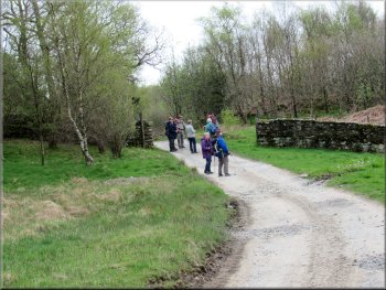
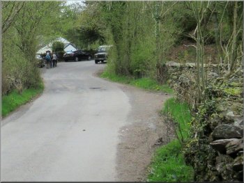
Turning off the road onto Crag Lane
Following Crag Lane towards the A5074
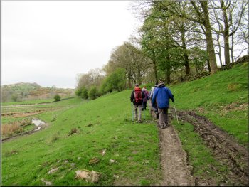
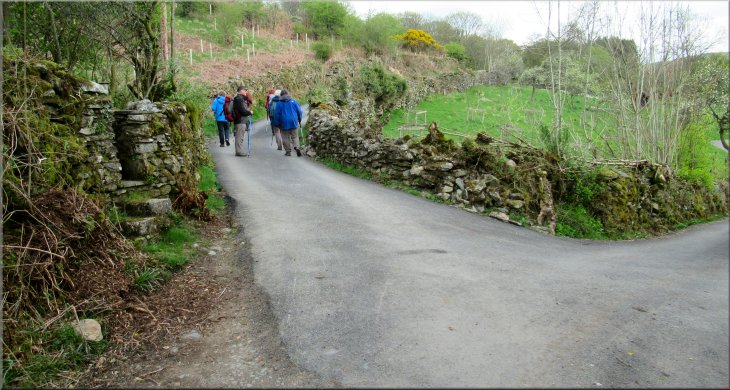
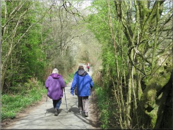
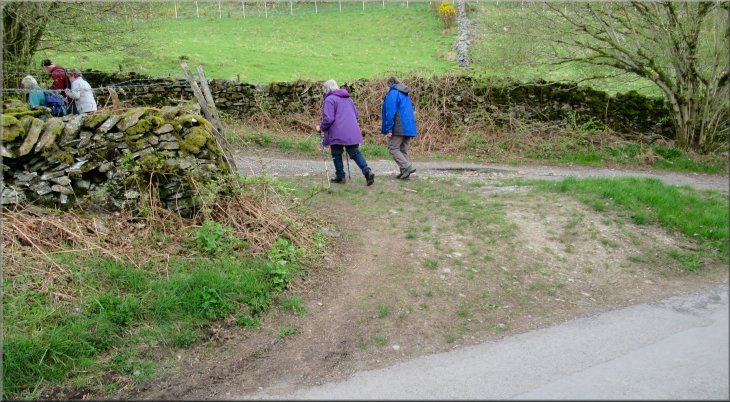
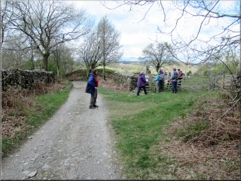
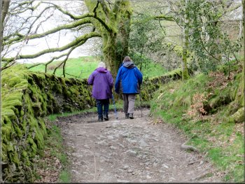
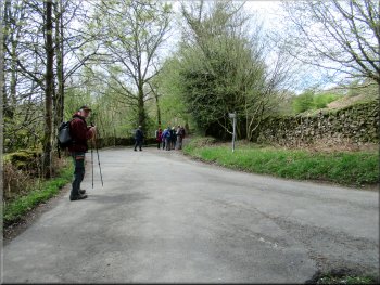
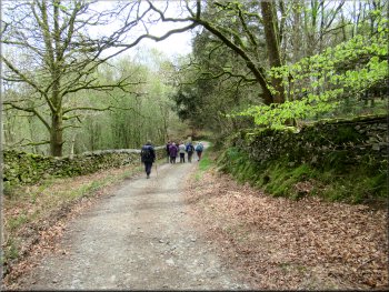
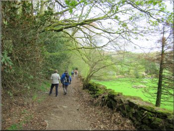
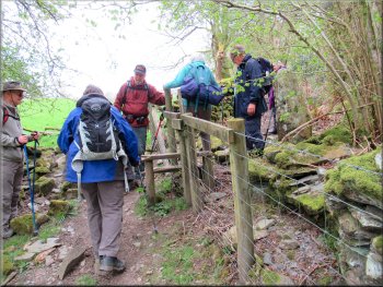
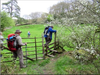
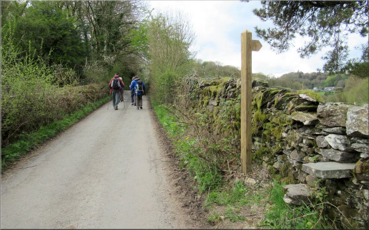
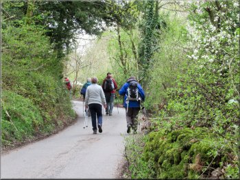
After about 250m we came to a track called Crag Lane, on the left hand side of the road. We turned left here and followed the bridleway along Crag Lane. After only 25m Crag Lane and the bridleway turned left and a public footpath continues straight ahead. We turned left through a field gate to continue along Crag Lane and after about 500m we came to a busy main road, the A5074. |
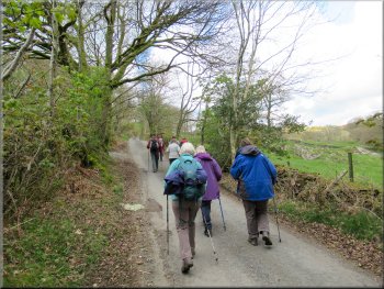
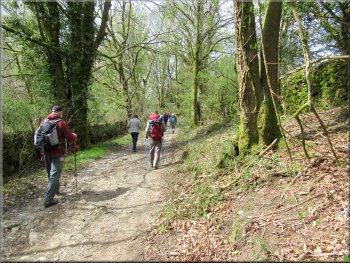
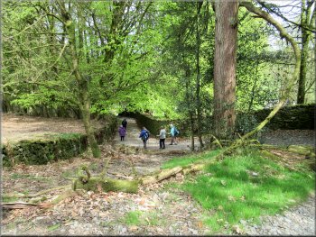
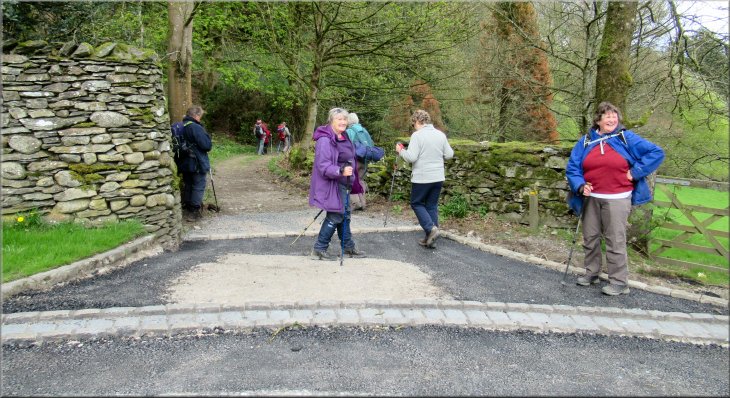
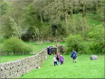
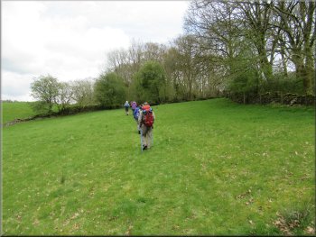
There are nine of us so we fit into two cars and today we drove to Holy Trinity Church at Winster, map ref. SD 417 930 only about 7km from our cottage at Windermere. We parked at the parking area by the entrance to the churchyard. It's free to use but restricted to worshippers only on Sunday mornings. From this parking spot we set off southwards along the minor road past the church and the old village school house that dates from 1849.
Following the road from the church towards Crag Lane
Crag Lane turns left heading for the A5074
Following Crag Lane towards the A5074
|
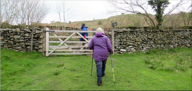
Gate on to the A5074 from Crag Lane
|
Bridleway heading north east from the A5074
Small tarn on the right hand side of the bridleway
Bridleway dropping down from the gorse to Thornyfields
Bridleway passing Thornyfields
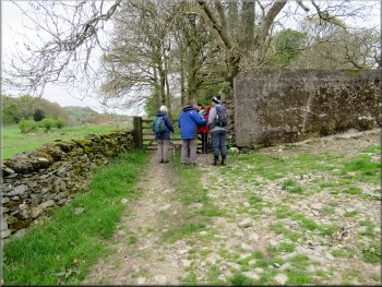
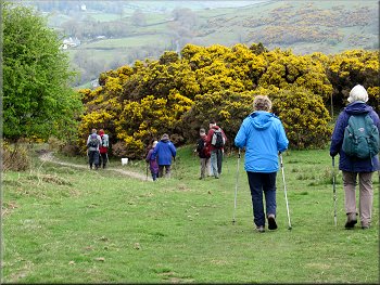
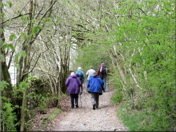
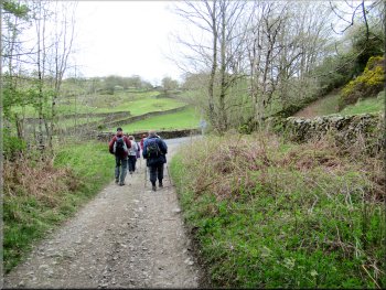
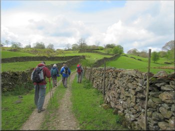
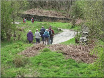
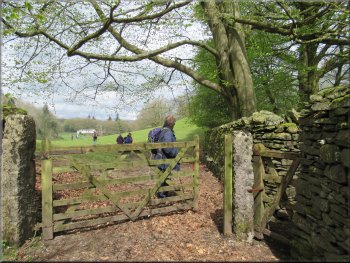
Here the track dropped down through gorse bushes in full flower and past the buildings at Thornyfields. From Thornyfields we followed the route of an old byway for a few hundred metres to join a minor road at map ref. SD 430 943. |
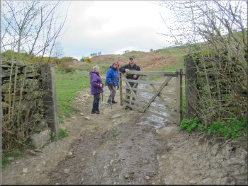
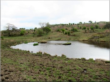
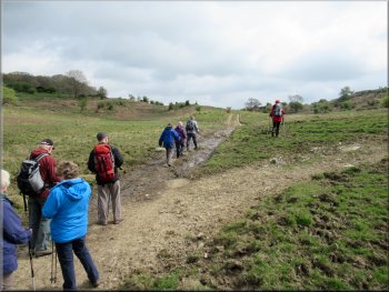
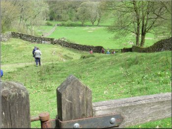
We waited patiently and crossed the road to continue along a bridleway heading north east on the far side of the road. We climbed up the hillside along the track past a small tarn on our right. Beyond the tarn a little valley developed on our left called Bow Mabble Breast with a small rocky ridge above.
Bridleway heading north east to pass a small tarn on the right
Bridleway dropping down through the gorse to Thornyfields
Bridleway passing Thornyfields
Old byway from Thornyfields
|
Following a minor road heading away from Thornyfields
|
Following the minor road towards a 'T'-junction
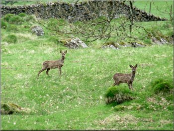
Roe deer in a field by the road
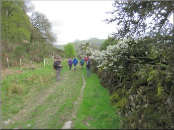
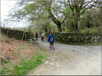
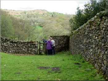
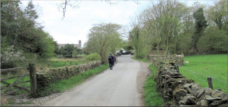
After 150m we turned left off the road to follow the route of an old byway. |
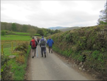
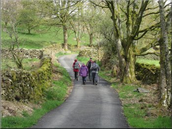
We kept straight on along the minor road for about 400m to a 'T'-junction where we turned right.
Following the minor road towards a 'T'-junction
Following the road to the right from the 'T'-junction
|
Turning left off the road to follow another old byway
|
Following the byway westwards
Turning right off the byway at a footpath for our lunch stop
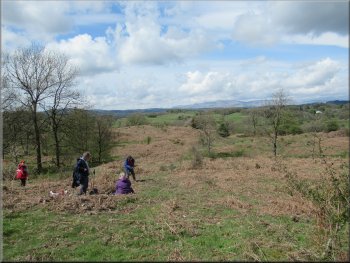
We found a comfortable spot to sit with an amazing view over to the Coniston Old Man range and around to the Langdale Pikes. It was a very pleasant place for our lunch break in the sunshine.
|
After about 1km along the byway there was a public footpath off the track to our right through a field gate into the field where the ground sloped down from the path.
Following the byway westwards
Lunch stop with a great view of the fells to the west & north
|
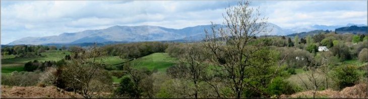
The Coniston Old Man ridge seen from our lunch stop
|
Continuing along the byway after our lunch stop
Continuing along the byway from the minor road to the A5074
We crossed Lindeth Lane and continued along the old byway for about 400m to the main road, A 5074. We waited for a break in the busy traffic and crossed the main road to a public bridleway on the far side.
|
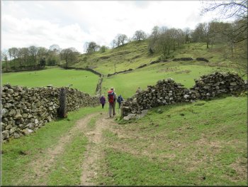
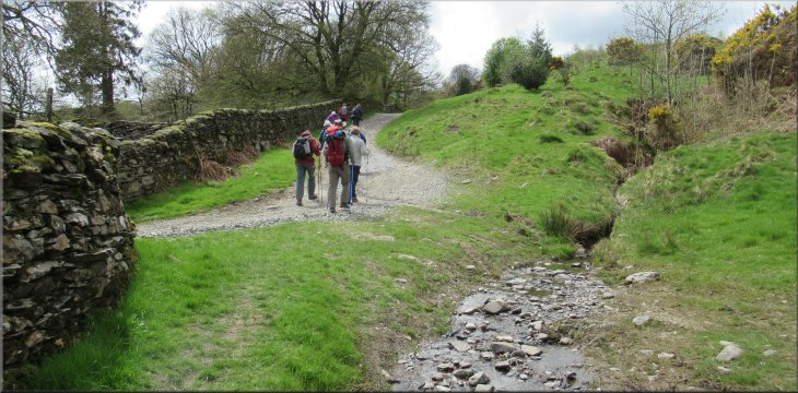
After our lunch we returned to the byway track and continued for another 750m, past Stonehills Tarn on our left down to a minor road called Lindeth Lane at map ref. SD 413 944.
Joining the minor road, Lindeth Lane, at map ref. SD 413 944
Nearing the A5074 along the byway track
|
Crossing the A5074 from the byway track to join the public footpath opposite
|
Footpath along the track climbing up from the A5074
Footpath alongside the wall
Footpath still following the wall
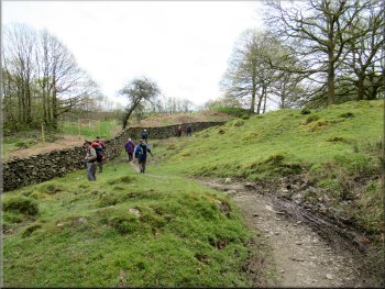
We followed the bridleway alongside the stone wall and in the next field below the wall there was a large flock of Jacob's sheep with their lambs. We continued along the bridleway for about 750m from the main road to a junction with another track at map ref. SD 411 937 where we kept straight on. |
From the road the bridleway climbed up the hillside for about 150m then turned left alongside a dry stone wall. Looking over the wall we could see back down across the field to the A5074.
About to turn left around the corner of the wall
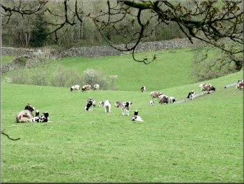
Just part of a large flock of Jacob's sheep over the wall
Footpath still following the wall
|
We kept straight on at this junction with another track at map ref. SD 411 937
|
Continuing to a fork in the track
The horse was not at all keen to pass us but the rider was very calm and coaxed it along so all was well. |
We followed this track for about 450m to a fork in the track. The right hand fork climbed up the hillside and there was a horse rider approaching us down the slope.
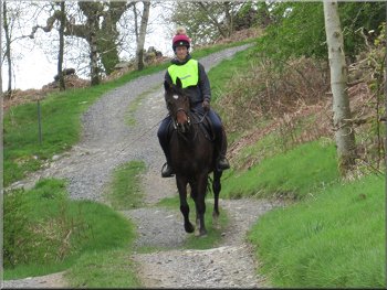
Horse rider approaching down the fork to our right . . .
|
. . . we kept to the left hand fork in the track
|
Following the byway around the hillside
Nearing our left turn towards Winster House
Walled track heading down to Winster House
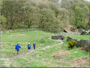
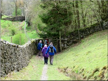
Here we turned left off the byway track to follow a public footpath along a walled track down to Winster House. |
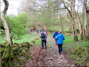
We took the left hand fork, also an old byway contouring round the hillside for about 550m.
Following the byway around the hillside
Our left turn off the byway heading for Winster House
Walled track heading down to Winster House
|
Our left turn at Winster House on to the path around Birket Houses and across the River Winster valley
|
Track from Winster House heading down into the valley
Path dropping down across the valley
Nearing the footbridge across the R. Winster
Stile from the field path in to the woodland
The path bent round to our right to cross a rather awkward footbridge over the River Winster. From the footbridge we followed the path up across the fields and then through some woodland to a minor road at map ref. SD 418 932. |
At Winster House we turned left to follow a public footpath along the edge of woodland with a view across the little valley of the River Winster (a small beck) to our right.
Our right turn off the track to follow a path across the valley
Path dropping down across the valley
Climbing up from the footbridge to some woodland
Path to the minor road at Winster
|
Stile to a minor road in Winster at map ref. SD 418 932
|
Following the road from the stile back to the church
There was a good deal of up & down and it was pleasantly warm. Including our lunch break the walk had taken almost three and a half hours, much of the time waiting for me & my wonky knees to catch up. |
At the road we turned right and walked along the road for about 200m back to our parking spot at the church and the end of our walk. The whole route had been 8.5km despite the protestation of fit-bit owners that it had been much further.
Back to our parking spot at the church
|
Following the road back to our parking spot at the church and the end of our walk
|