|
2001 walks |
2002
walks |
2003 walks |
2004
walks |
|
2005 walks |
2006
walks |
2007 walks |
2008
walks |
|
2009 walks |
2010
walks |
2011 walks |
2012 walks |
|
2013 walks |
2014 walks |
2015 walks |
2016 walks |
|
2017 walks |
2018 walks |
2019 walks |
2020 walks |
|
2021 walks |
1993-2000 library |
Find a Route Index |
|
A few Routes to print out |
Request a Route... |
Route No. 726 - Thursday 21 June 2018
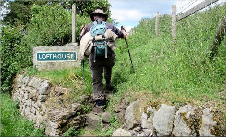
Studfold Farm, Nidderdale Way Ramsgill,
Bouthwaite, Nidderdale Way, Lofthouse
8km circuit - Nidderdale . . .
Route map from Ordnance Survey
Open Space service.
Map: OS Explorer 298 Nidderdale

From Studfold Farm to Ramsgill the Nidderdale Way follows public bridleways
.
|
Along the Nidderdale Way the route is often also indicated by small orange plastic direction arrows
 |
From Bouthwaite to Lofthouse the Nidderdale Way follows public footpaths & a minor road
|
DO NOT PARK HERE. Since we did this walk, I have learned that this parking area is apparently owned by Studfold Farm for the use of its clients. I am informed that they have been known to clamp unauthorised parked cars. There is an alternative but smaller parking area about 200m nearer to Lofthouse at map ref. SE 098 735
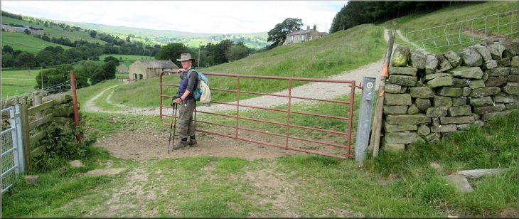
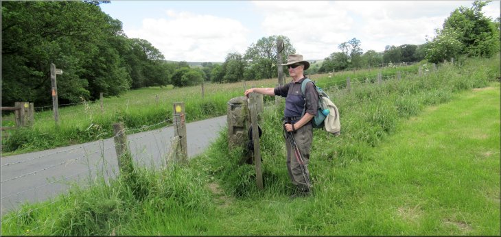
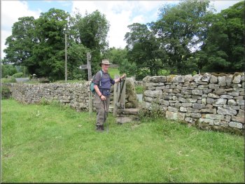
The parking area at map ref. SE 097 733 next to How Stean Beck where we started our walk
|
Road from the car park to the bridge over How Stean Beck
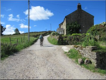
Passing the farm buildings on the access road at Studfold Farm
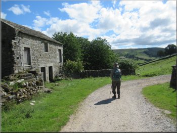
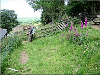
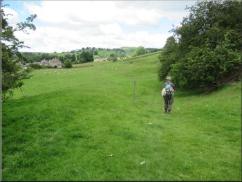
Passing the cottages as we climbed up the hillside
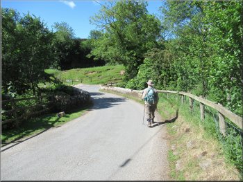
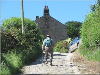
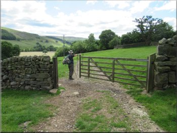
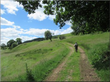
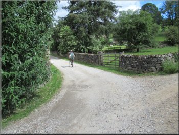
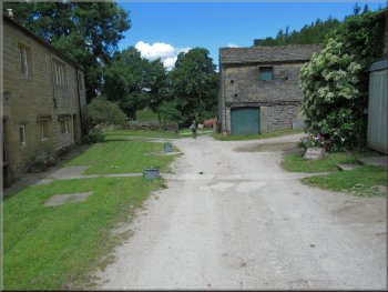
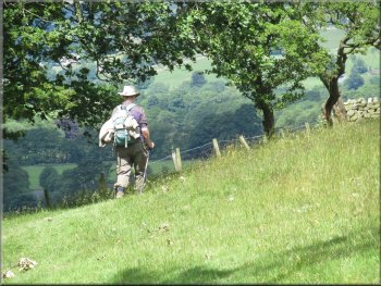
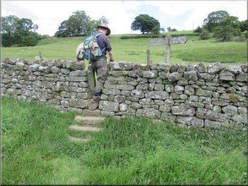
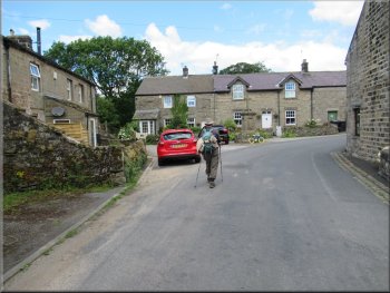
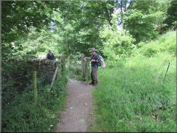
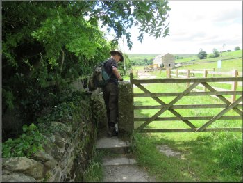
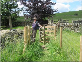
We started our walk from here walking along the road to cross How Stean Beck on the road bridge. Just across the bridge we turned left and followed the access road for about 150m to Studfold farm. Just beyond the farm buildings we turned right following the route of the Nidderdale Way up the steep hillside past some cottages on the right hand side of the access road. |
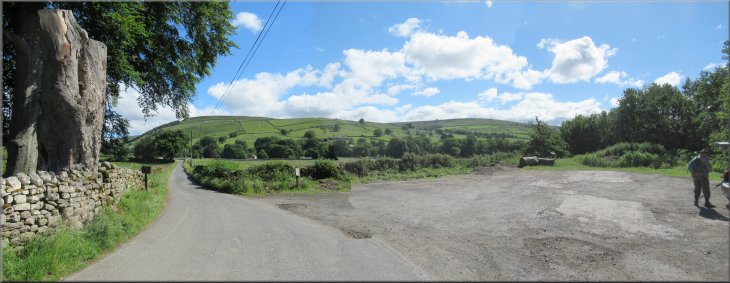
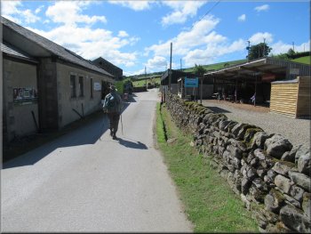
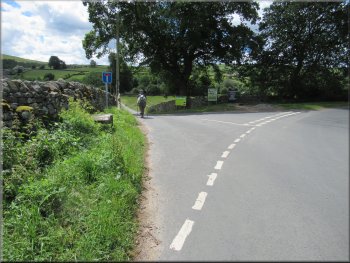
The weather today was just perfect for walking with clear sunny skies and a cooling breeze. My friend, Jim, and I drove out to Pateley Bridge and up Nidderdale to the village of Lofthouse. From the village we followed the brown tourist signs towards How Stean Gorge. About 100m before the road crosses How Stean Beck there is a car park on the left hand side of the road at map ref. SE 097 733 where the road bends right.
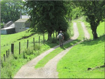
Access road to Studfold Farm from the bridge over the beck
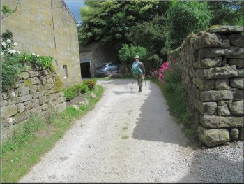
Turning right to follow the access road up the hillside
Passing the cottages as we climbed up the hillside
|
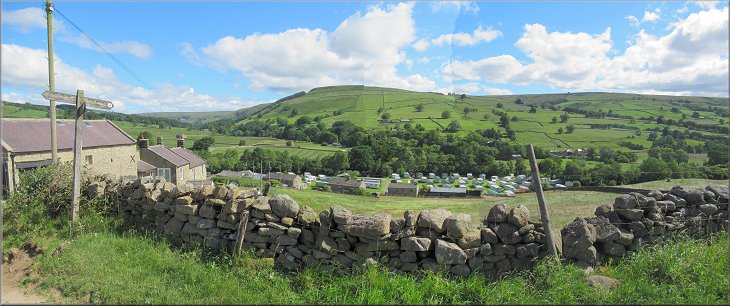
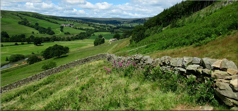
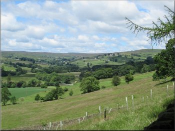
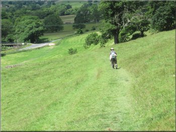
Looking across Nidderdale over Studfold Farm to Trapping Hill from the Nidderdale Way
|
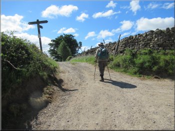
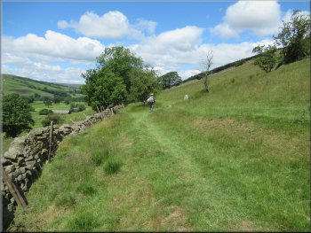
Turning left along the Nidderdale Way above the cottages
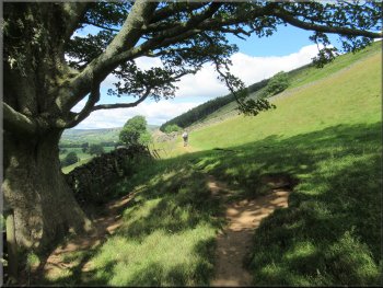
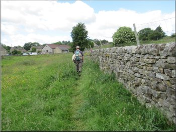
There were lovely views across Nidderdale from this track in the bright sunshine. At one point the dry stone wall by the track was being repaired and I asked the craftsman working on the wall if I could take a photo of his work. |
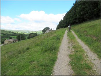
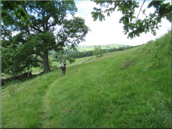
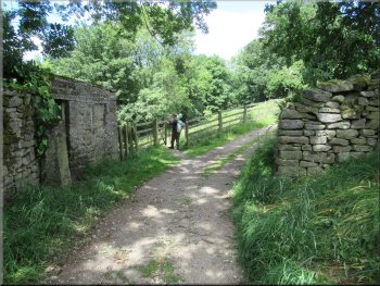
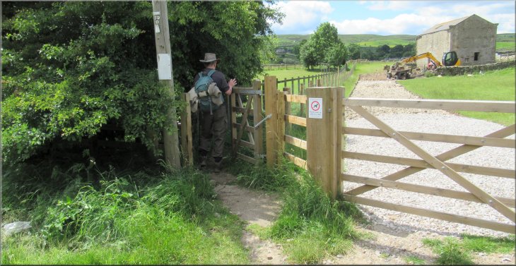
After about 150m we turned left at map ref. SE 097 731, still following the route of the Nidderdale Way on a track along the side of the valley heading downstream towards Ramsgill.
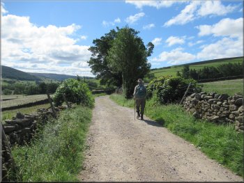
Following the Nidderdale Way down the valley
|
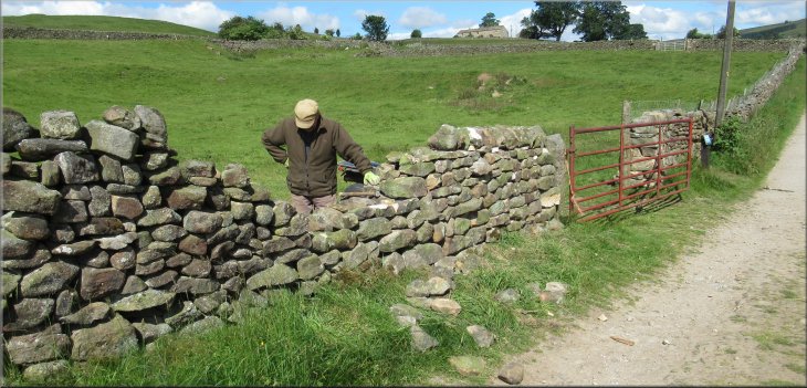
I think there is something so pleasing about a well constructed dry stone wall
|
Following the Nidderdale Way across Blayshaw Gill
Leaving the track following the Nidderdale Way across the field
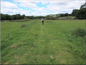
Following the grassy track towards West House Farm
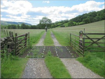
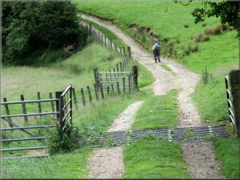
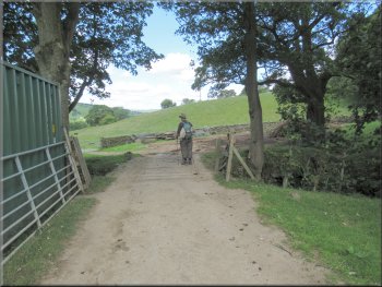
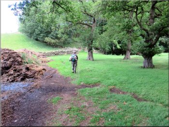
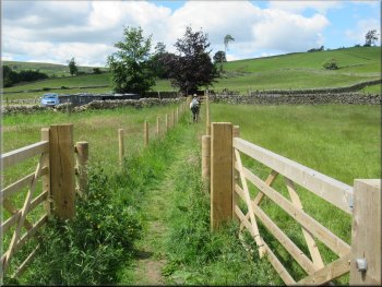
We followed this grassy path across the fields for about 400m and here there was a stone barn on the right of the path. Just before the barn the path became a farm track next to a post & wire fence to the right of the track. We continued along this track to pass though West House Farm. |
About 300m from our turning the track dropped down to cross a stream called Blayshaw Gill. About 100m beyond the stream by an old stone farm building, the track turned up the hill side to High Blayshaw farm. On the bend our path, the Nidderdale Way, kept straight on off the track across the field.
We turned left off the track just beyond this building
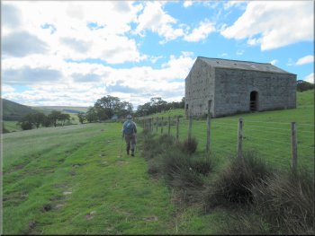
The grassy path became a farm track near this barn
Following the farm track towards West House Farm
|
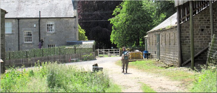
Passing the farm buildings at West House Farm
|
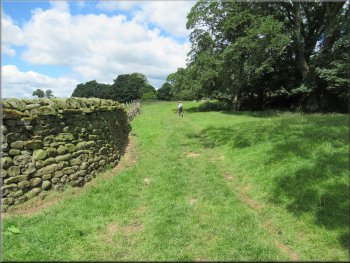
Track from West House Farm leading to the valley bottom
Nidderdale Way on the track along the valley bottom
The track climbing a little way up from the valley bottom
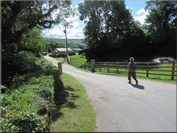
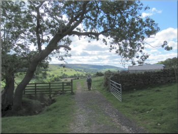
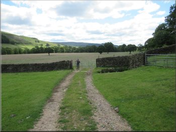
After about 1.3km we came to Green Farm near Nidd Bridge on the edge of Ramsgill village. At Green Farm we followed a track out to the road. |
From West House Farm the track dropped down almost to the valley bottom. We continued walking along the track at the valley bottom.
Track reaching the valley bottom
The track climbing a little way up from the valley bottom
Track approaching Green Farm at Ramsgill
|
Passing through Green Farm to the road on the edge of Ramsgill
|
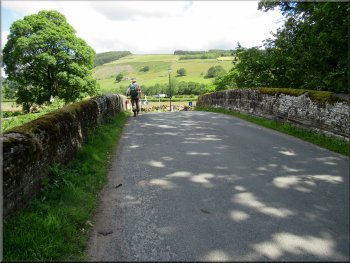
Crossing the road bridge over the River Nidd
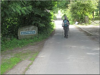
Walking into Bouthwaite
At Bouthwaite we came to a cross roads, or to be more precise it was a cross tracks at the end of the public road. At this junction in Bouthwaite we turned left to rejoin the route of the Nidderdale Way heading back up the valley towards Lofthouse. |
At the road we left the Nidderdale Way, and turned left to walk along the road towards Nidd Bridge. We continued over Nidd Bridge and then turned right along the road to Bouthwaite.
Turning right just over the bridge to Bouthwaite
Walking along the lane into Bouthwaite
|
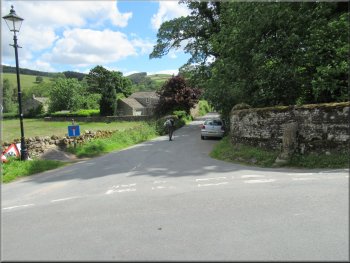
We turned left at this junction in the tracks in Bouthwaite
|
Our left turn took us through Bouthwaite
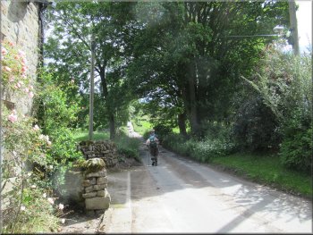
The Nidderdale Way goes along this farm access track
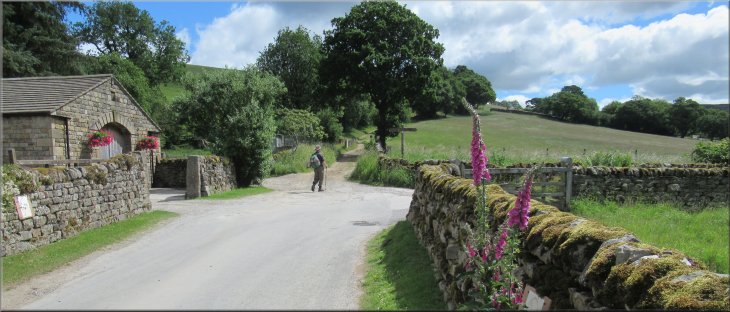
Leaving Grange Farm, about to turn right
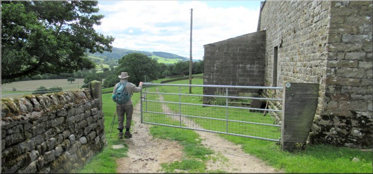
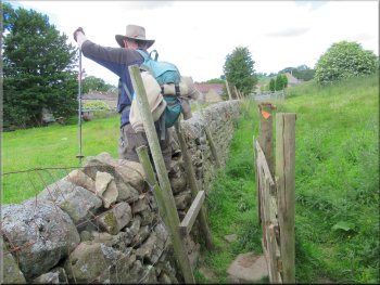
There was a large midden (heap of farm yard manure) ahead and to our right and we turned right to pass next to the midden and on to the corner of the field where there was a waymark post next to a field gate. |
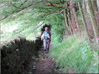
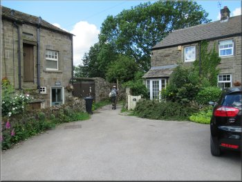
We followed the route of the Nidderdale Way along the access track through Bouthwaite where the drives into private properties left the main access track. The Nidderdale Way took us along the drive to our right through Grange Farm and out to a field next to the farm.
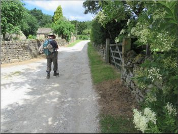
Following the track through Bouthwaite
Access track through Grange Farm at Bouthwaite
Passing the midden on the route of the Nidderdale Way
|
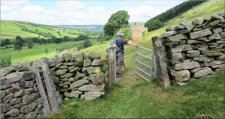
Gate in the corner of the field to the Nidderdale Way track up along the woodland edge
|
Stony track from the gate along the edge of woodland
The path continued along the edge of the fields
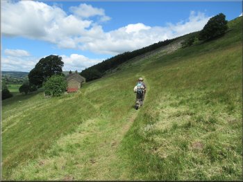
Nidderdale Way with lovely views over the valley
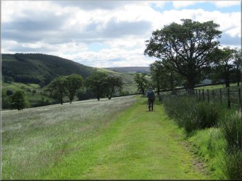
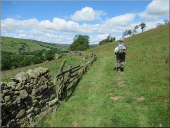
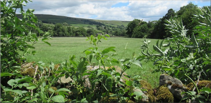
We continued along the edge of the fields with a wall or a wire fence on the left hand side. There was a good view down the valley over Gouthwaite reservoir and a lovely view up the valley towards Lofthouse. |
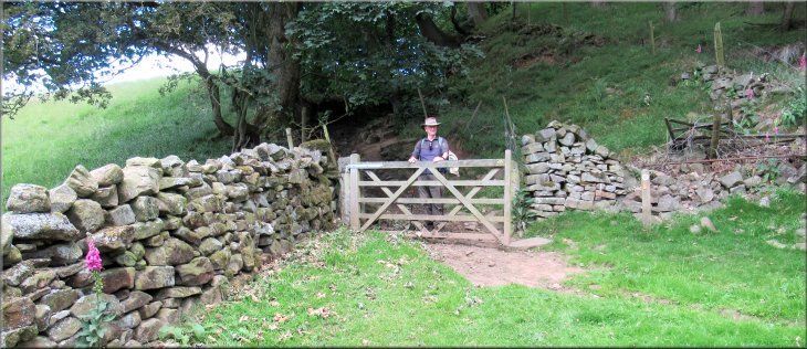
At the waymark post we turned right to go through the gate and continue along the path up a stony track next to a dry stone wall. From the gate the path was along the edge of woodland but after about 150m the path emerged form the woodland.
The path continued along the edge of the fields
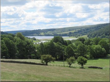
Looking back down Nidderdale over Gouthwaite Reservoir
Nidderdale Way with lovely views over the valley
|
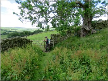
From this gate the path climbs up the hillside and by-passes Longside Farm
|
Path by-passing Longside Farm
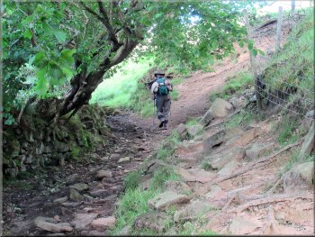
On this sunny day there was a row of foxgloves alongside the wall enhancing the view. Through the gate we turned left and followed the track down the hill side for about 250m to a gate into a field with Longside House ahead. |
We came to a gate into a field with Longside Farm ahead. From the gate the path now climbs up to a track at the top of the field bypassing the farm altogether. At the gate onto the track at the top of the field there is a lovely view up the valley.
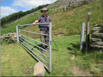
Gate on to the track above Longside Farm
|
About to turn right along the track around the top side of Longside House
|
Track around Longside House
Path from Longside House along the edge of the woodland
Path leaving the woodland to cross the fields
We continued along the footpath next to the boundary wall at the edge of woodland to the right of the path. Below High Longside House the path bears away from the woodland and drops down across the fields to the road at map ref. SE 110 726. |
Through this gate we turned right to follow a track up the valley side and around the top side of Longside House. Above the house the track enters private woodland and the footpath bears left off the track and follows the boundary wall around the top side of the house (it's a bunkhouse for hire).
Path along the boundary of Longside House
Looking along Nidderdale from the edge of the woodland
Dropping down across the fields to the road
|
Dropping down across the fields to the road
|
Dropping down across the fields to the road
|
We crossed the road and continued along the Nidderdale Way on the other side
|
Continuing along the Nidderdale Way
Path across the fields to re-join the road
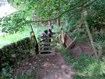
Stile to re-join the road
At the road we turned left and walked along the road for about 250m to some steps up to a path on the right hand side of the road at the Lofthouse village boundary marker. |
Here we crossed the road and continued along the path on the other side of the road. Here the path goes along a low embankment that once carried the Nidd Valley Light Railway. After about 250m we followed the path bearing left to re-join the road.
This mound was the bed of the Nidd Valley Light Railway
Path across the fields to re-join the road
Walking along the road towards Lofthouse
|
Turning right off the road at the Lofthouse village boundary sign
|
Path across the fields at Lofthouse
Awkward stile to cross a wall & continue on the other side
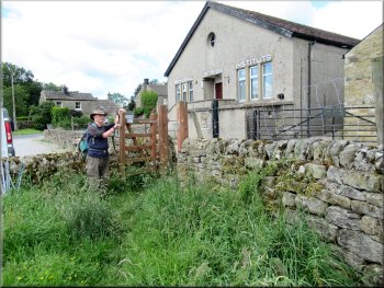
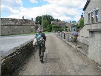
Lofthouse Memorial Institute, the village hall
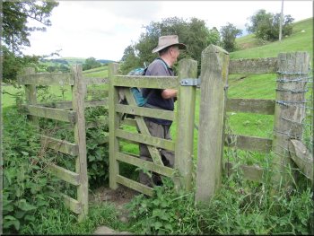
We followed the path along the boundary wall of the hall and then through the gate to follow the access drive from the hall out to the road in the village. |
We followed this path around Lofthouse village, still on the route of the Nidderdale Way, across the fields for about 350m to the 'Lofthouse Memorial Institute', the village hall.
Path across the fields at Lofthouse
Heading for Lofthouse village hall
Access road from the village hall to the street
|
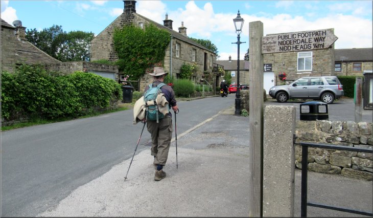
We turned right to walk along the village street from the village hall
|
We turned left off the road on this bend
Path through the gate to the River Nidd
Crossing the River Nidd
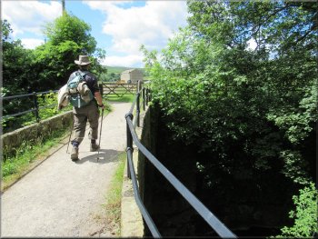
Just beyond the houses the access track bends to the right but we kept straight on through a gate to a footpath down to a stone arch bridge over the River Nidd. We crossed the bridge and continued along the path to cross the Yorkshire Water access road that leads up to Scar House & Angram reservoirs. |
At the road we turned right and walked along the road for about 100m. Here there is a memorial and the road bends to the right but here we left the road and the Nidderdale Way. We followed the path bearing left off the road between the houses along an access track.
Path between the houses away from the road
Gate to the bridge over the River Nidd
Path from the bridge to cross the water co. access road
|
Path continues across the water company access road
|
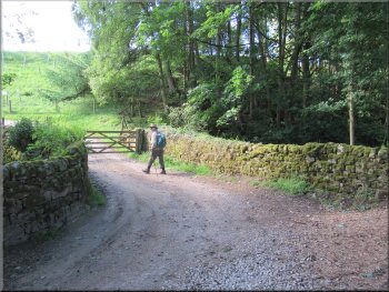
Fenced path out to the public road
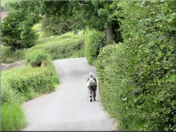
We followed the lane towards How Stean Gorge
At the bend in the road we kept straight on along a minor road towards How Stean Gorge. We followed this minor road for about 150m back to the car park to the left of the road and the end of our walk. The whole route had been 8km and it had taken us about three hours to walk on this lovely sunny day.
 |
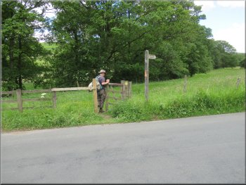
Across the road we continued along the footpath between post and wire fences for about 150m to a little parking area off a bend in the road at map ref. SE 098 735. We walked along the road for about 50m to a sharp right hand bend.
Gate on to a little parking area by the road
End of our walk at the car park on the left at the bend ahead
|
Looking down Nidderdale from the lane at the edge of the car park at the end of our walk
|