|
2001 walks |
2002
walks |
2003 walks |
2004
walks |
|
2005 walks |
2006
walks |
2007 walks |
2008
walks |
|
2009 walks |
2010
walks |
2011 walks |
2012 walks |
|
2013 walks |
2014 walks |
2015 walks |
2016 walks |
|
2017 walks |
2018 walks |
2019 walks |
2020 walks |
|
2021 walks |
1993-2000 library |
Find a Route Index |
|
A few Routes to print out |
Request a Route... |
Route No. 734 - Thursday 16 August 2018
Burley Station, Hag Fm, Moor Rd, Carr Bottom Res,
Coldstone Beck, Stead La, Colston Drive, Moor Lane
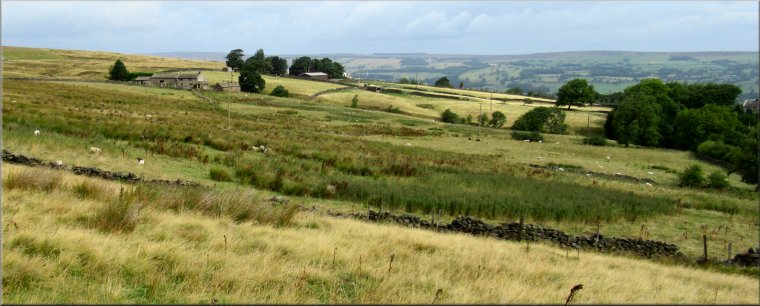
8km circuit - Wharfedale . . .
Route map from Ordnance Survey
Open Space service.
Map: OS Explorer 297 Lower Wharfedale & Washburn Valley
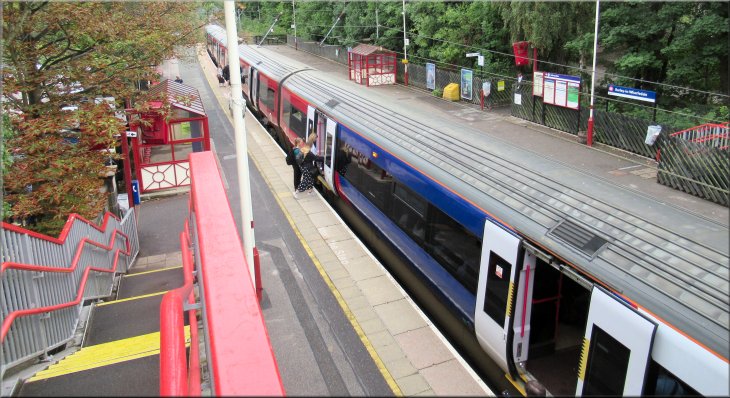
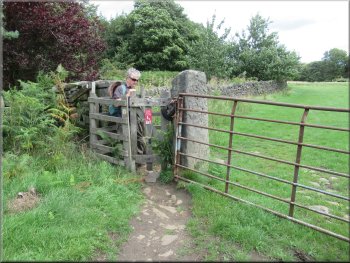
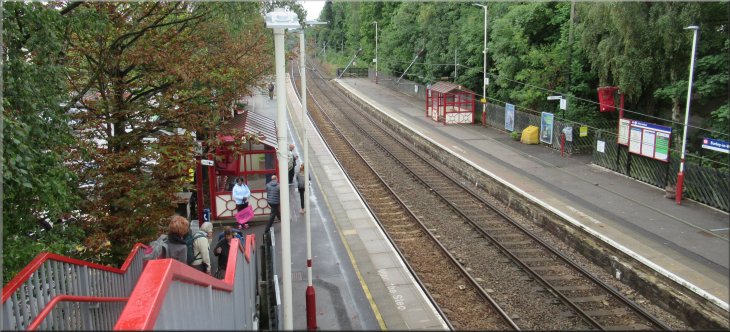
Footbridge over the line at Burley Station leading to Hag Farm Road
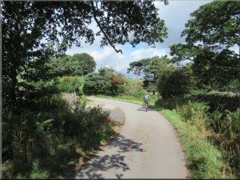
Note: Our friend Geoff found this route which he led when our little group of friends walked it on Saturday 11 Aug 2018 but I was unable to do the walk with them so I walked it today with my friend, Jim. |
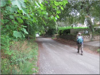
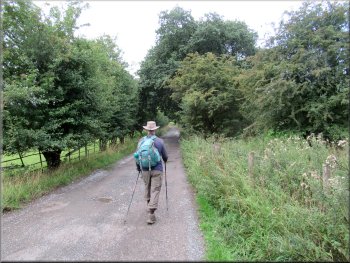
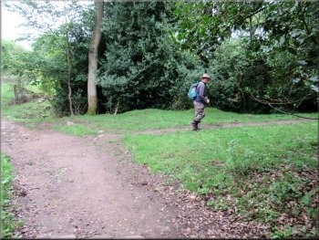
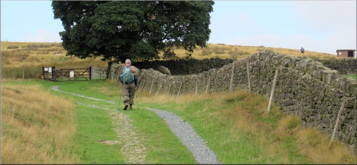
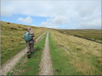
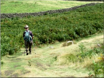
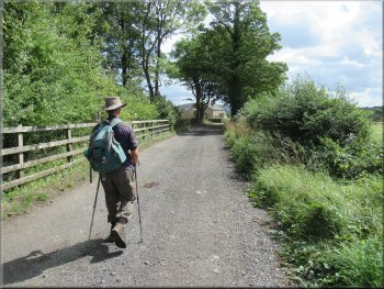
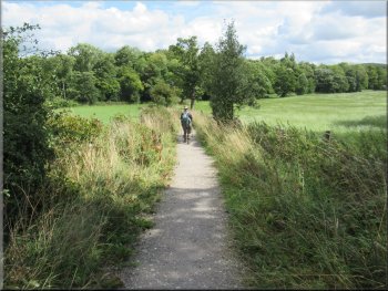
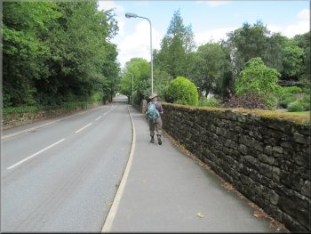
Setting off from Burley Station along Hag Farm Road
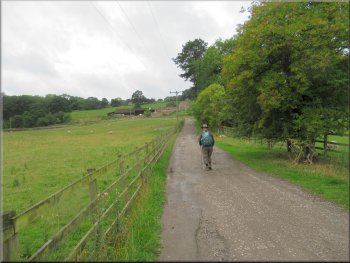
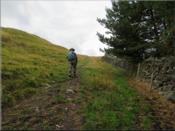
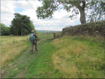
Walking along Hag Farm Road towards the Hag Farm
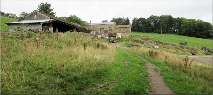
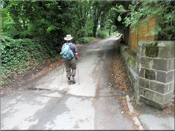
We left the station via the exit on to Hag Farm Road and turned left along the road towards Hag Farm. We walked along Hag Farm Road for about 1.5km to Hag Farm itself. As we approached the farm the road bent to our right up to the farm buildings, but we kept straight on below the farm buildings to a gate into the fields. |
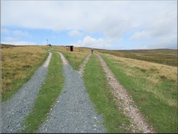
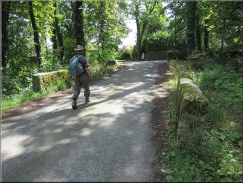
Jim & I drove to Burley in Wharfedale and parked as close as we could to the railway station, map ref. SE 163 458. The station car park is usually full with commuters' cars but there is some on-street parking close to the station. From our parking spot we entered the station and crossed the railway line on the footbridge at the station.
Walking along Hag Farm Road towards the Hag Farm
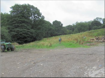
Crossing rough ground below Hag Farm to the field path
|
Looking back to Hag Farm from the stile at the field path
|
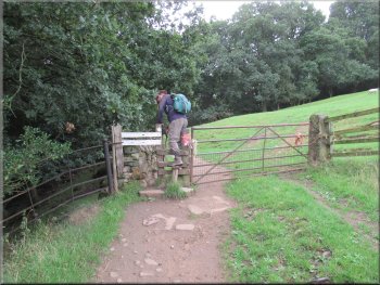
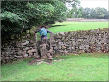
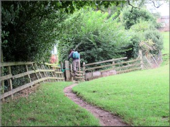
Stile to the field path from Hag Farm
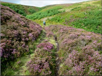
Our right turn off the track climbing up through woodland
Stile as the path continued around the field edge
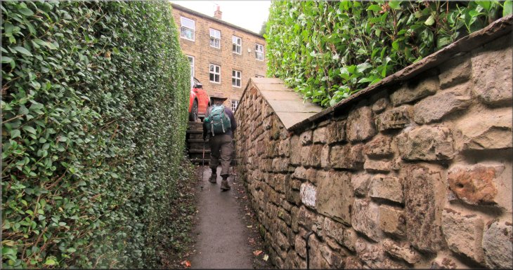
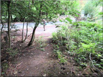
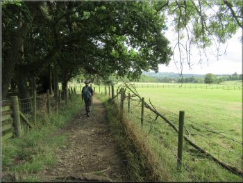
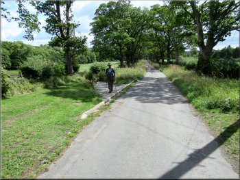
After about 120m we came out of the woodland and continued around the edge of the fields with stone squeeze stiles at the boundary walls. About 150m from the woodland we came to a stile through a hedge to a footbridge over a small stream and into a narrow passage between the gardens of some houses. |
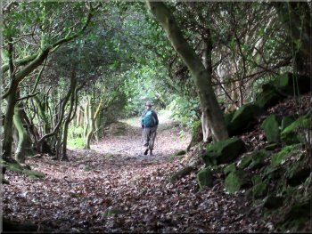
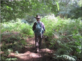
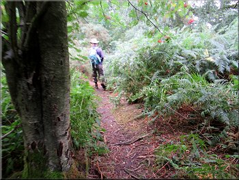
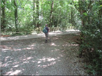
We crossed the stile to the left of the gate and continued along a farm track with a wall on our left. About 100m along the farm track from the stile, the track began to bend to our left and we turned right off the track to follow a public footpath climbing up through some pretty woodland.
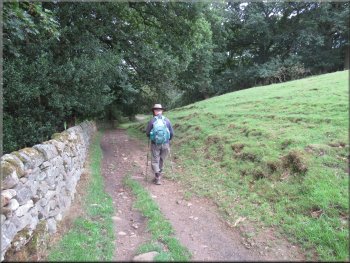
Path at the edge of the field with a stone wall on our left
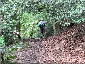
Path climbing up through woodland
Stile to a little footbridge & a passage between the gardens
|
Passage from the little footbridge to the driveway up to Moor Lane
|
The driveway up to Moor Lane
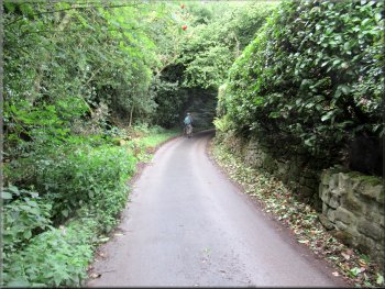
Walking along Green Lane. . .
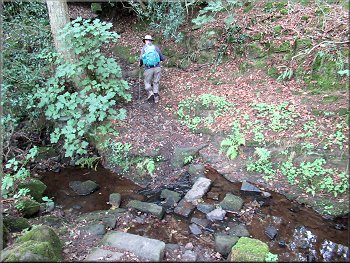
Across the stream we climbed the bank to a woodland track
After about 100m we turned left down the bank to cross a stream on a few rough stepping stones and climbed up the bank opposite. We continued following a public footpath along a clear track through the woodland. A little over 200m from the stream we came to a new galvanised kissing gate out of the woodland into a field. |
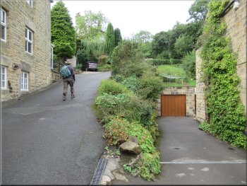
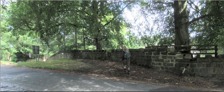
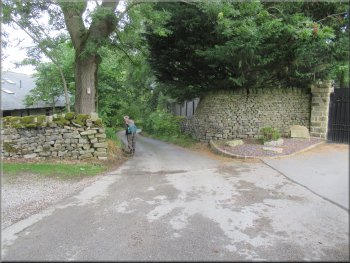
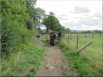
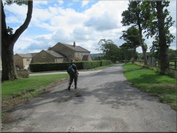
At the end of the passage we found ourselves on the driveway to the houses. We climbed up the steep driveway to a public road called Moor Lane. We crossed Moor Lane and began to walk along the public footpath up the driveway opposite, called Green Lane.
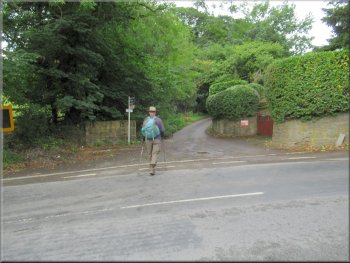
Crossing Moor Lane from the driveway to Green Lane

. . . our left turn off Green Lane after 100m to cross the stream
Woodland track heading south from Green Lane
|
New galvanised kissing gate out of the woodland where we turned right up the hillside
|
Climbing up the grassy hillside
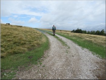
After about 200m we came to this vehicle track
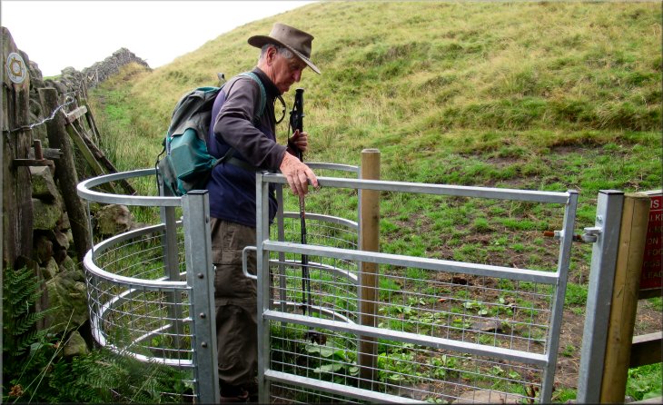
At this track we turned right and walked along the track for about 250m to a padlocked field gate with a stile to the right of the gate. |
Here we turned right and continued up the hillside. From the kissing gate we climbed up the grassy hillside for about 200m where we came to a vehicle track with grass up the middle.
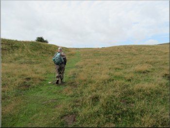
Climbing up the grassy hillside
At the vehicle track we turned right and followed the track
|
We followed the vehicle track to this padlocked gate with a stile to the right
|
From the gate we followed the track to our right
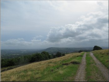
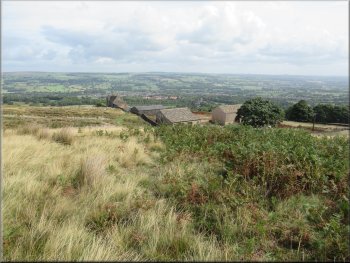
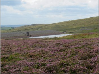
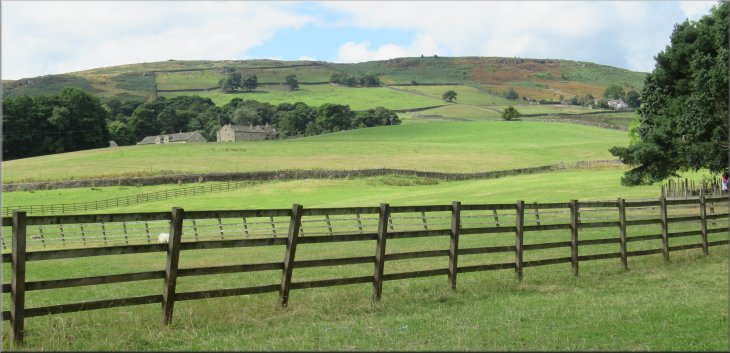
Looking back to the flat hill top of Otley Chevin
Track to York View Farm with Carr Bottom Res dam to our left
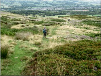
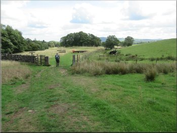
The game keepers' vehicles were receding into the distance along the left hand fork and we followed the public footpath along the right hand fork in the track. We continued along this track with a wall to our right and fine views to the right over Wharfedale. The grassy hillside to our left rose up to the crest of the dam at Carr Bottom Reservoir. |
We crossed the stile just as a friendly young gamekeeper pulled up in his four-wheel drive vehicle. He was interested in our route and confirmed the right way ahead for us. A few more vehicles arrived and they all set off together along a track across the moor. With our backs to the gate & stile there was a hairpin bend in the track in front of us. We took the arm of the track to our right and after another 70m there was a fork in the track.
After about 70m from the gate we took this right hand fork
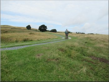
Continuing along the track across the grassy moorland
Track nearing York View Farm
|
We turned left at this Junction. Through the gate is Green Lane
|
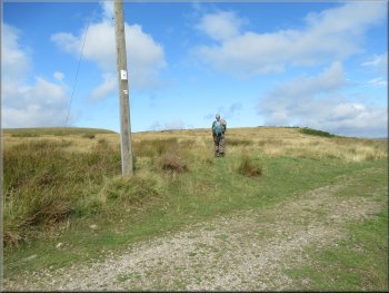
About 2m past the telegraph pole we turned left
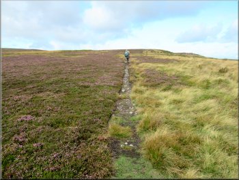
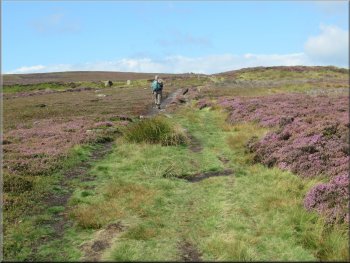
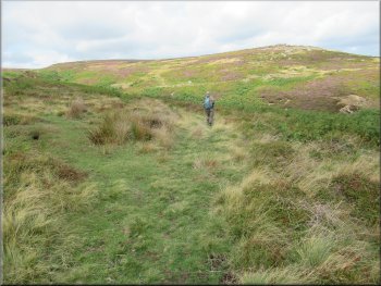
We continued to follow this well walked path
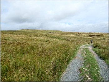
Following the clear path across the moor
We followed this narrow path heading north-west across the moor. We found the path was easier to follow than it seemed at first. We continued following a clear path through the heather for about 600m until we reached The Millennium Way at map ref. SE 144 449. |
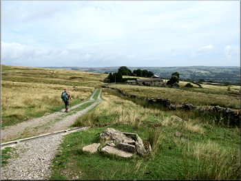
At map ref. SE 149 446 we came to a gate across the track at York View Farm. Just before the gate there is a track off to the left and this was our route. Just as we made the turn there was a telegraph pole on the left of the track. About 2 metres past the telegraph pole there is a narrow feint grassy footpath on the left.
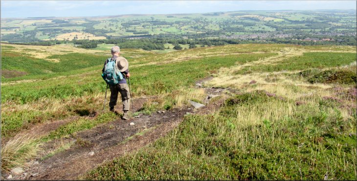
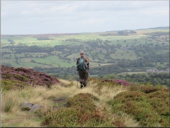
Looking across Wharfedale as we set off along the grassy path
Looking down to Carr Bottom Reservoir from the path
Following the clear path across the moor
|
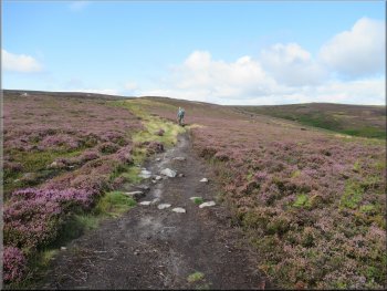
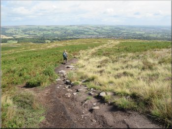
The lovely clear path had brought us to the Millennium Way at map ref. SE 144 449
|
Heading to our left turn off the Millennium Way to the beck
Our path off the millennium Way to cross Coldstone Beck
Dropping down the hillside towards Moor Road
We continued along this path now with a stone wall on our left as we descended steeply down to a sharp bend in the road, Moor Road, at map ref. SE 148 453. (Note: there are informal paths all over the place along the valley of Coldstone Beck they are all leading along the valley eventually to Moor Road. We were careful to stay on the north side of the beck to be sure that we reached the road at the sharp left hand bend)
|
It had been a lovely walk through the heather and at the Millenium Way we turned right and followed it for about 75m heading NW. Here a grassy path crossed the Millennium Way. At this junction we turned left along the grassy path leading us down to cross Coldstone Beck at map ref. SE 143 450. Once across the beck we followed the path well above the beck heading downstream.
Our left turn off the Millennium Way to cross the beck
Following the valley of Coldstone Beck down off the moor
Final steep descent to Moor Road
|
Gate on to Moor Road a few metres north of Coldstone Beck
|
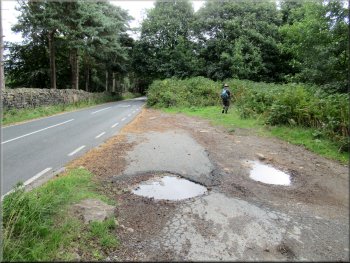
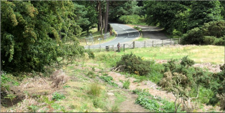
Our turning off Moor Road to a roadside path in the woods
Roadside path in the woods
After about 200m the road makes a sharp left hand bend and our woodland path came out on the road again just below this left hand bend. We crossed the road and walk back to the bend where we turned off the road on to Stead Lane. |
From the gate on to Moor Road we walked across some rough land to the right of the road and joined a very pretty path through the woodland on the right hand side of the road.
Roadside path in the woods
Path rejoined the road just below the second bend
|
At the road we crossed over and turned left to walk up to the crown of the bend where we turned right on to Stead Lane
|
Heading along Stead Lane from the bend in Moor Road
At this sharp left hand bend we turned right off Stead Lane
Path across the fields from Stead Lane became a farm track
Fenced track leading to Colston Drive
Here we turned right off Stead Lane on to a footpath across the field. The path became a farm track and a little further on it became a fenced track that led us out to an access road called Colston Drive.
|
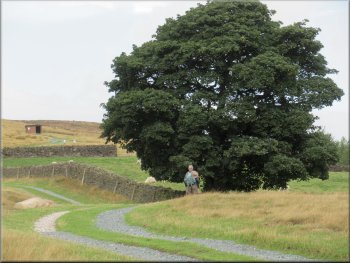
We walked along Stead Lane past Rose Farm where the lane turns left and continued along the lane towards Stead where all the properties seem to have 'Stead' in their names. About 550m from the left turn at Rose Farm the lane makes a sharp left hand turn.
Stead Lane turned left around Rose Farm
Stile on to the field path from Stead Lane
Through this gate the track was fenced
Gate from the fenced track to Colston Drive
|
Looking back from Colston Drive to the moor above Moor Road
|
Colston Drive nearing some new houses
Turning off Colston Drive to a fenced path across the fields
Joining the access road that comes from Scalebor Park Farm
After about 130m we joined the farm access road coming from Scalebor Park Farm. At this access road we turned right and walked along the access road for about 250m to Moor Lane. |
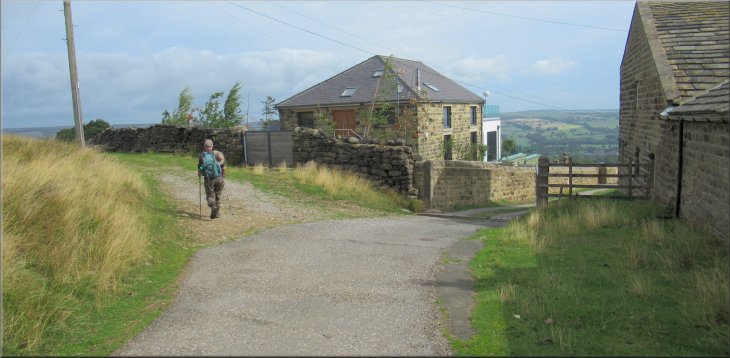
We walked along Colston Drive past several new stone built houses. Just beyond these houses we turned left off Colston Drive to follow a fenced public footpath between the fields.
Passing some stone built houses on Colston Drive
Fenced path across the fields from Colston Drive
The farm access road about to join Moor Lane
|
Crossing Moor Lane to walk down the road back to Burley Railway Station
|
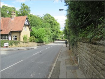
Moor Lane heading back to the station
The railway bridge ahead next to the station
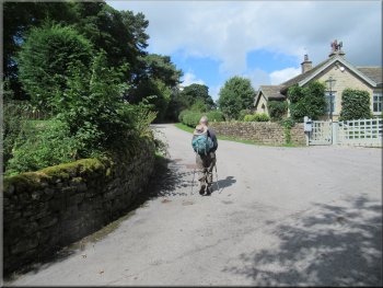
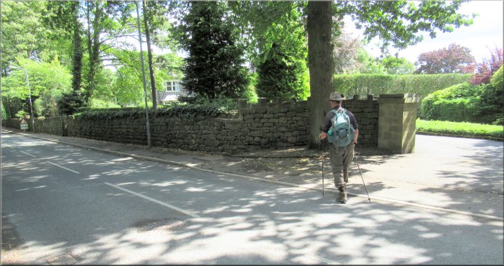
After 50m we turned left off Hag Farm Road to re-enter Burley Station and cross the footbridge over the track back to our road side parking spot near the station and the end of our walk. The whole route had been 9km and it had taken us a little over three hours to walk it.
 |
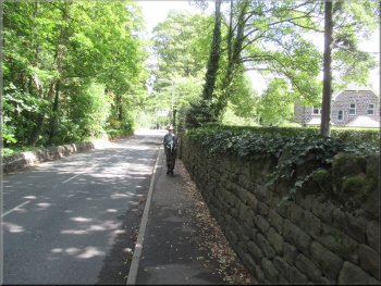
At Moor Lane we turned left and walked along the footway beside the road back down towards Burley. Just before the railway bridge over the road we turned right and walked along Hag Farm Road.
Moor Lane heading back to the station
Back on Hag Farm Road to cross the line on the station footbridge
|
Crossing the line on the station footbridge to return to our parking spot near the station at the end of our walk
|