|
2001 walks |
2002
walks |
2003 walks |
2004
walks |
|
2005 walks |
2006
walks |
2007 walks |
2008
walks |
|
2009 walks |
2010
walks |
2011 walks |
2012 walks |
|
2013 walks |
2014 walks |
2015 walks |
2016 walks |
|
2017 walks |
2018 walks |
2019 walks |
2020 walks |
|
2021 walks |
1993-2000 library |
Find a Route Index |
|
A few Routes to print out |
Request a Route... |
Route No. 770 - Thursday 11 April 2019
Bransdale Road, Harland Beck,
Track round Harland Farm, Rudland Rigg
5km circuit - North York Moors . . .
Route map from Ordnance Survey
Open Space service.
Map: OS Explorer OL26 North York Moors Western area
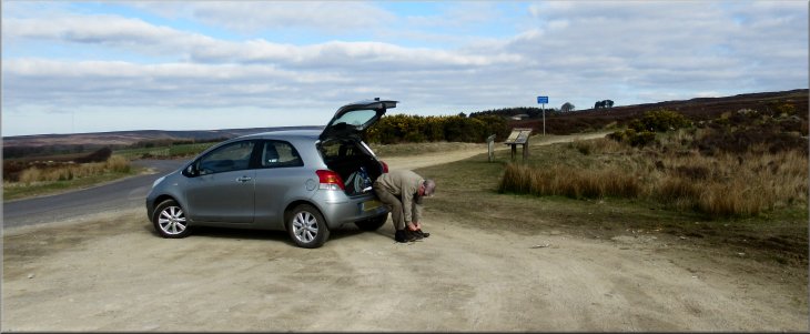
Gravel parking area off Bransdale Road at the end of Rudland Rigg
|

|
|
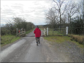
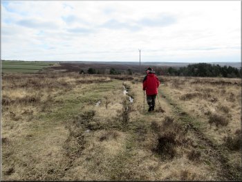
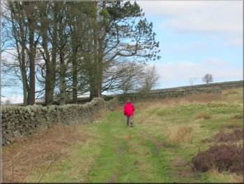
Setting off from the gravel parking area
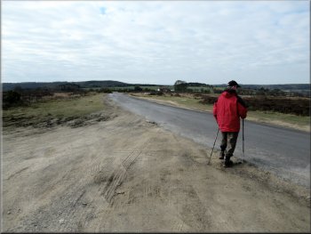
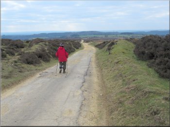
Walking along the road towards our left turn
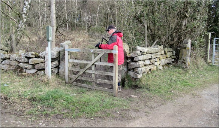
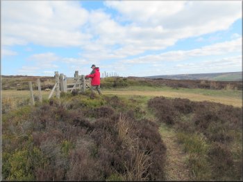
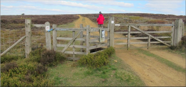
We crossed a cattle grid where the open moor ended and continued to the access track to Allotment House on the left hand side of the road. Just as we made the turn there was a pedestrian gate on our left on a public footpath into some woodland shown on the OS map as open access land. |
Another bright, fine Spring day. My friend, Jim, and I drove to a gravel parking area at the end of the track along Rudland Rigg where it meets Bransdale Road on a sharp bend at map ref. SE 659 927. From this parking area we walked south east along the road for about 700m.
Cattle grid across the road at the edge of the moorland
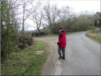
About to turn left at the access track to Allotment House
|
Public footpath into woodland at the corner of the turn towards Allotment House
|
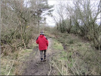
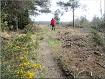
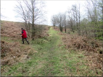
Footpath through the woodland
Footpath across the heathland
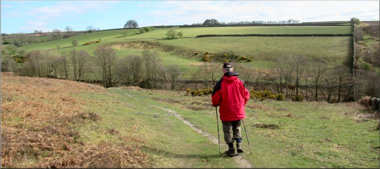
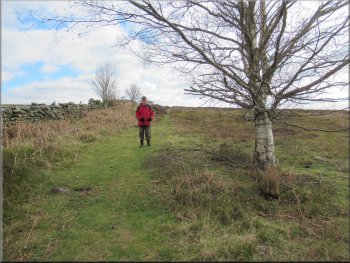
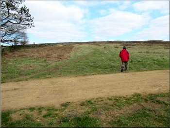
Footpath across the second field
At the wall on the far side of the field we turned right to follow a clear path along side the wall heading down towards Harland Beck. After about 100m the path turned to our left to a footbridge across the beck. The water in the beck is bright orange, stained with iron oxide from the iron ore deposits in the area. We turned right and crossed the footbridge over the beck. |
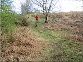
We went through the gate into the open access land and at once turned right following a footpath through the woodland. We followed the path out of the woodland and across rough heathland as the path bent round to our left heading northeast to a gate into the next field and we followed the path across this field.
Footpath emerging from the woodland on to the heath
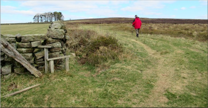
Gateway into the next field
We turned right here along the wallside towards Harland Beck
|
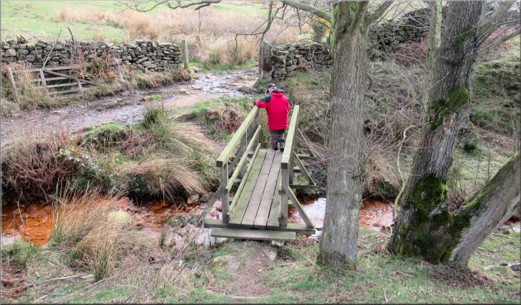
Footbridge across Harland Beck
|
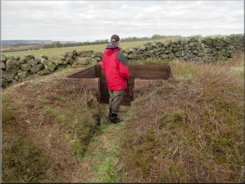
Ladder stile on to the open moor
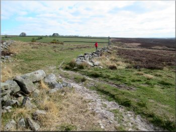
Path up the hillside with the wall a few metres to our left
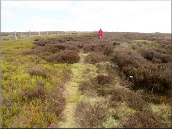
This grassy path/track is a perfectly legitimate route over this open access land (but check the Natural England web site for any closures before starting this walk). After climbing up the hillside for about 550m we came to the corner of the wall on our left. |
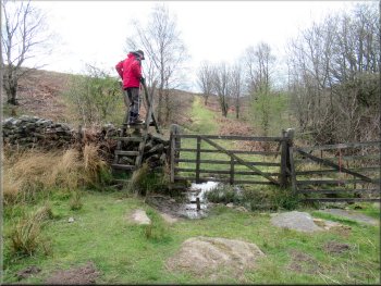
Across the footbridge we followed the footpath to our right with the beck over the wall on our right. After about 100m we crossed a ladder stile next to a field gate in to open moorland. The public footpath continued straight ahead but we turned left along a clear path straight up the moorland hillside next to boundary wall of the fields.
Turning left on to the path up the hillside by the wall
Track up the hillside with the wall a few metres to our left
|
The wall corner where we turned left along the grassy track
|
Grouse shooting butt next to the track
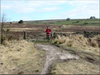
Crossing the access track to Harland farm
Grassy track became a narrow path for the last 150m
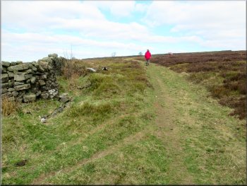
We continued along the grassy track from the corner of the wall for about 270m to cross a gravel access track leading to Harland farm a few hundred metres away to our left. We crossed the access track and continued along the grassy track skirting the intake wall of the fields. About 400m from the access track to Harland farm we came to another wide gravel access track at map ref. SE 670 934. Here we turned left to join the gravel access track passing through a kissing gate on the left of the gravel track. |
At the wall corner we turned left still following a grassy track with the wall on our left. There was a commotion in the sky above us and we watched a group of about half dozen rooks mobbing a red kite that was circling looking for carrion to feed on. There was a stand of tall trees nearby and I think maybe that is where the rooks were starting to nest. The Red Kite moved a little further down the valley of Harland Beck and the commotion died away.
Continuing along the grassy track
Track round the outside of the walled fields at Harland farm
The narrow path led us to the gravel access track
|
The gravel access track at the edge of the moor around the farmland at Harland farm
|
Track encircling the Harland farmland
Track encircling the Harland farmland
Nearing the track along Rudland Rigg
After about 1.4km along this track we reached the junction with the track along Rudland Rigg at map ref. SE 657 935. |
We followed this gravel track around the edge of the moorland next to the cluster of fields surrounding Harland farm.

Track encircling the Harland farmland
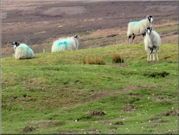
Swaledale sheep at Harland farm
Turning left on to the track along Rudland Rigg
|
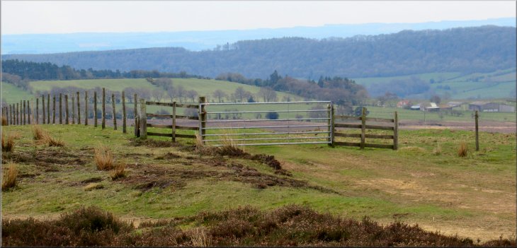
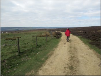
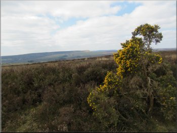
View from Rudland Rigg across the valley of Hodge Beck where its name changes from Bransdale to Sleightholme Dale
|
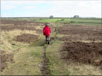
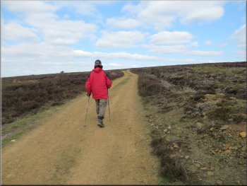
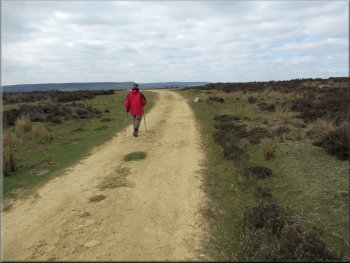
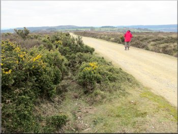
The track along Rudland Rigg
Jim got a text message from one of his grand daughters . . .
View from Rudland Rigg across the moor towards Farndale
The whole route had been just a little over 5km and it had taken me around two hours to walk it. The shorter walk meant that I could manage a few small hills and allowed us to see some of the wonderful scenery in this area. |
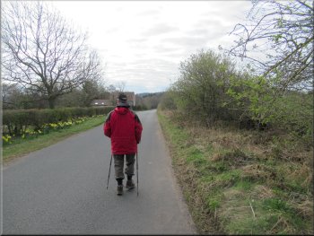
At the Rudland Rigg track we turned left and walked down the track for about 850m back to the parking area off Bransdale Road and the end of our walk.
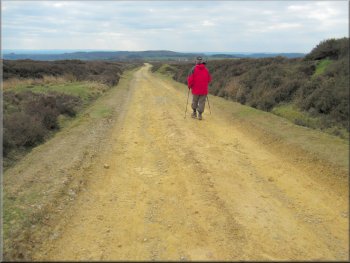
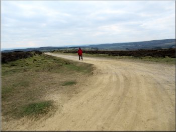
The track along Rudland Rigg
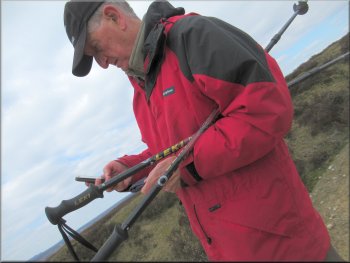
. . . and he had to stop to send a reply
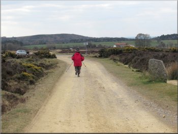
Jim jogging back to the car park
|
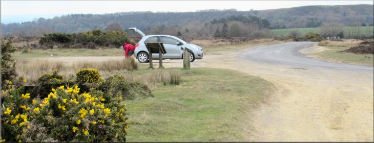
Arriving back at the car park at the end of our walk
|