|
2001 walks |
2002
walks |
2003 walks |
2004
walks |
|
2005 walks |
2006
walks |
2007 walks |
2008
walks |
|
2009 walks |
2010
walks |
2011 walks |
2012 walks |
|
2013 walks |
2014 walks |
2015 walks |
2016 walks |
|
2017 walks |
2018 walks |
2019 walks |
2020 walks |
|
2021 walks |
1993-2000 library |
Find a Route Index |
|
A few Routes to print out |
Request a Route... |
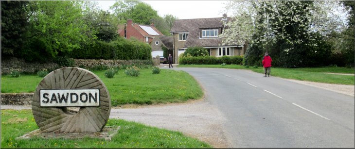
Route No. 772 - Thursday 25 April 2019
Brompton, Wood Gate Way, Sawdon, Ruston,
Hudgin Lane, Acres Lane, Hungate Brompton
8km circuit - North York Moors . . .
Route map from Ordnance Survey
Open Space service.
Map: OS Explorer OL27 North York Moors Eastern area
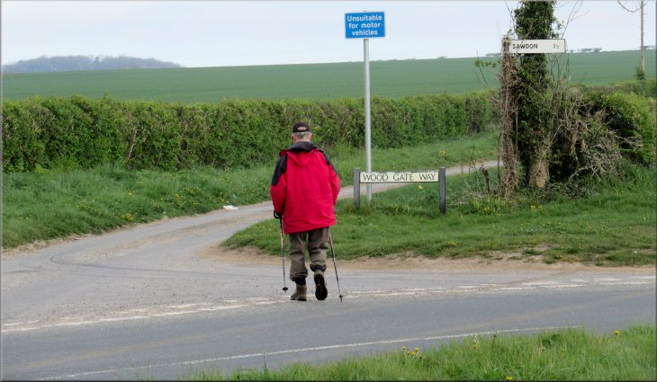
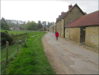
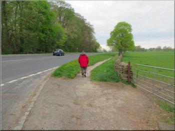
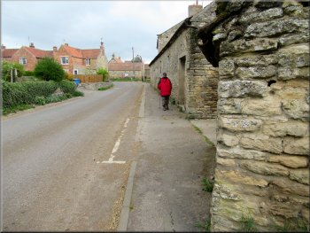
Our parking spot on Wood Gate Way in Brompton just off the A170
|

|
|
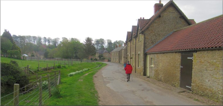
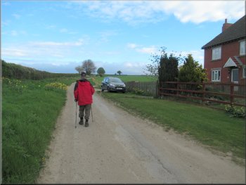
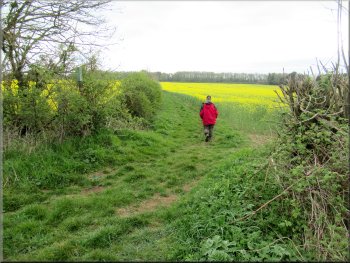
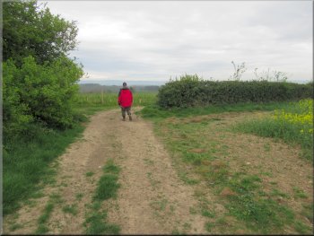
Setting off along Wood Gate Way
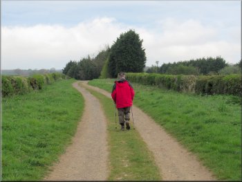
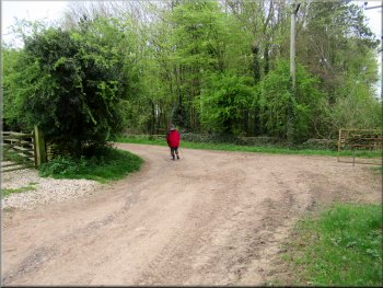
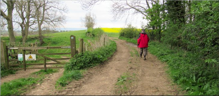
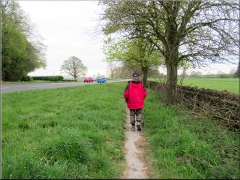
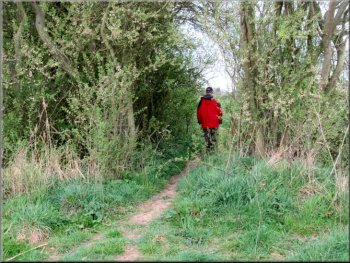
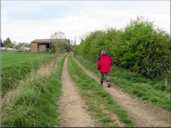
Our parking spot was about 25m north of the A170 at map ref. SE 946 823. We set off at about 8.00am in bright spring sunshine, heading northwards away from the A170 along Wood Gate Way. We walked along the road climbing gently for about 450m to a right hand bend in the road. At the bend in the road we kept straight on following a by-way between the fields. |
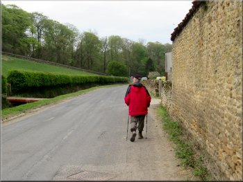
This morning the weather forecast predicted widespread heavy rain and thunder storms for this afternoon crossing the country from the south west. My friend, Jim, and I made an early start to do our walk before the rain arrived. We drove to Brompton-by-Sawdon on A170 Pickering to Scarborough road. We parked in a little lay-by on Wood Gate Way.
Following Wood Gate Way out of Brompton
|
Leaving the road to follow the by-way continuation of Wood Gate Way
|
Passing a pair of brick semi-detached houses
Continuing along Wood Gate Way
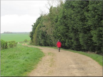
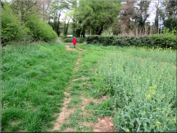
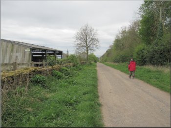
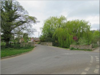
Passing the conifers that screen the Sawdon Pines Golf Course
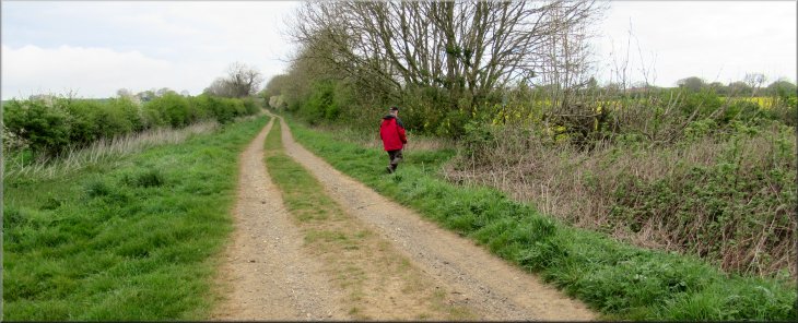
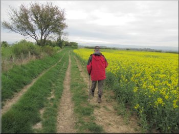
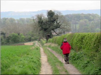
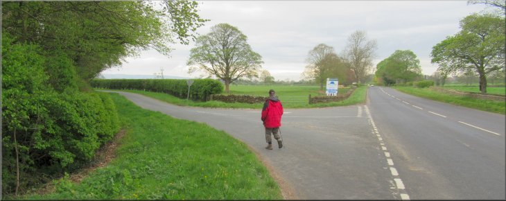
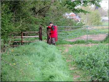
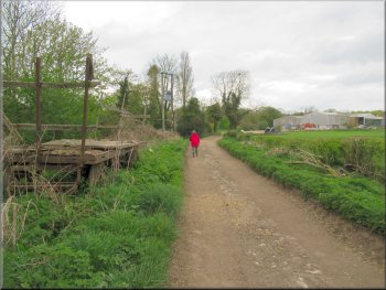
These conifers turned out to be screening the Sawdon Pines Golf Course on the right of the by-way. We walked past the golf course and past the next field on our right. At the end of this field we turned right at a public footpath sign overgrown in the hedge. |
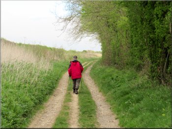
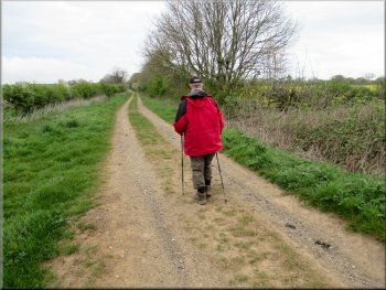
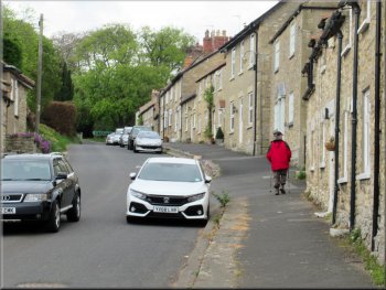
The by-way is the continuation of Wood Gate Way. After about 200m we passed a pair of semi-detached brick built houses on the right of the by-way. About 1km further along the by-way from these houses we came to a tall hedge of ornamental conifers.
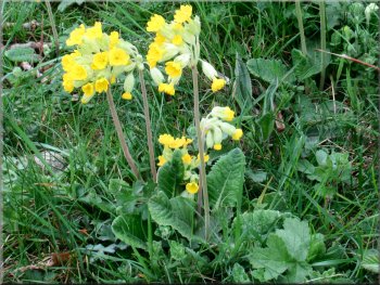
The grass verge was dotted with lovely cowslips
Tall hedge of ornamental conifers ahead
Nearing our right turn off the Wood Gate Way
|
Turning off the Wood Gate Way on to a public footpath along the field edge. There is a footpath sign at the hedge
|
Path across the field from Wood Gate Way
The end of the field path at Kirk Gate on the edge of Sawdon
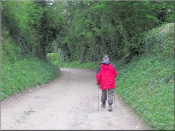
We followed the road round a right hand bend into the village. About 150m from the right hand bend the road made a sharp left hand turn and here we turned right off the road on to a track called Sawdon Balk that is marked on the OS explorer map as a public by-way. |
The public footpath was along a wide grassy track along the edge of the field. We continued along this path for about 500m to the road, called Kirk Gate, at the edge of Sawdon village. At the road we turned left towards the village of Sawdon.
The field path from Wood Gate Way to Kirk Gate at Sawdon
Walking along Kirk Gate into Sawdon
|
About to turn right off the road onto the rack called Sawdon Balk
|

The start of the Sawdon Balk track
Sharp left hand bend in the track
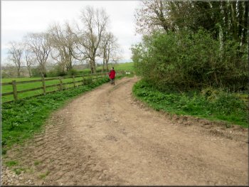
The hare did not seem to notice us until it was only about 20m away. We and the hare stopped and just looked at each other for a few seconds before the hare turned and bounded away across the field. We continued on our way ignoring the bridleway and following the Sawdon Balk track straight ahead. |
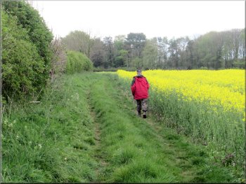
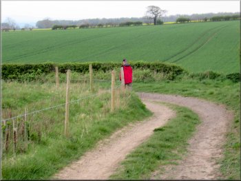
We walked along the Sawdon Balk track for about 600m to a sharp left hand bend, then about 50m round the bend to a sharp right hand bend. About 50m beyond this bend there was a public bridleway off to the left of the track. As we approached the bridleway turning a large hare came towards us along the track.
The long straight Sawdon balk track . . .
. . . then a sharp right hand bend in the track
|
Bridleway going off the track to the left where we kept straight on and met a large hare
|
Following the track towards Ruston
. . . then a sharp left hand bend in the track
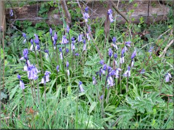
Bluebells by the track
It was a very pleasant track between the fields and from the bend we followed it for about 1km down to Ruston village. |
About 450m past the bridleway turn we came to another sharp right hand bend in the track and after 100m a sharp left hand bend.
Sharp right hand bend in the track . . .
Track dropping down towards Ruston
Heading down into Ruston
|
Following West Gate into the middle of Ruston
|
Following West Gate into the middle of Ruston
Heading out of Ruston to the A170
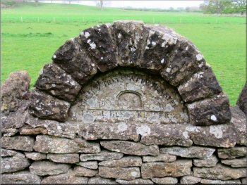
The inscription says that in 1923 a bee keeper planted 7 trees
at the roadside providing spring food for bees
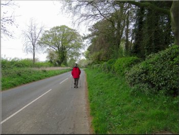
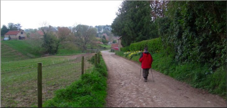
At this junction we turned right and walked along the road out to the A170 Pickering to Scarborough road. We walked along the footpath at the side of the A170 for about 100m and then crossed the busy A170 to Hudgin Lane. |
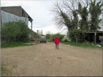
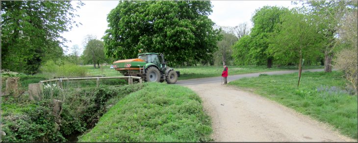
Ruston is a pretty village with a mixture of cottages and fields as we walked along West Gate down to a junction of four roads and a couple of access tracks next to a bridge over the beck in the middle of the village.
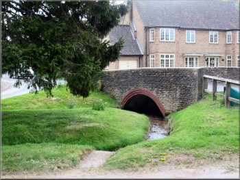
Bridge over the beck at the road junction in Ruston
Joining the path alongside the A170
Walking along the A170 for about 100m
|
Crossing the A170 to Hudgin Lane
|
Following Hudgin Lane for about 850m
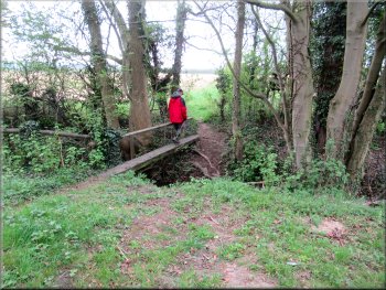
Crossing the footbridge very carefully
The footbridge consisted of a plank with a low, rather wonky hand rail on one side. We crossed the footbridge into the field and followed the footpath along the edge of the field with the hedge on our left. |
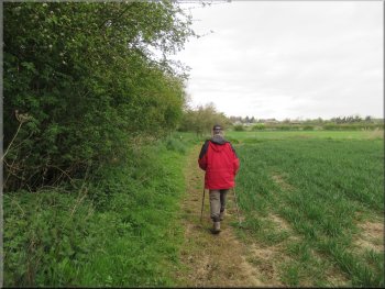
Hudgin Lane was just the opposite of the A170. It was a quiet and pleasant walk for about 850m from the A170 to a public footpath sign on the right hand side of the lane next to a footbridge across a Ruston Beck.
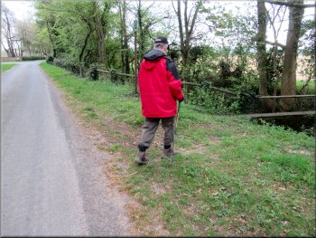
Turning right off Hudgin Lane to a footbridge to the fields
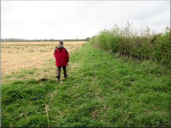
Following the footpath with the hedge on our right
|
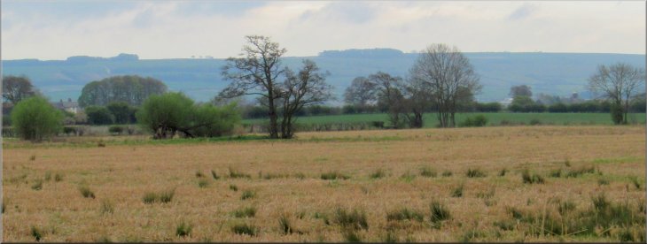
Looking left across the fields to the edge of the Yorkshire Wolds
|
Path out of the field corner . . .
Gate from the field path on to Acres Lane
Continuing along Acres Lane towards Brompton
We came to a gate leading on to Acres Lane from the field path. We followed Acres Lane to the road called Ings Lane at the edge of Brompton.
|
At the corner of the field the path cut through the hedge into the next field now with the hedge on our left and we continued along the edge of the fields.
. . . following the path with the hedge now on our left
Following Acres Lane towards Brompton
Following Acres Lane into Brompton
|
About to turn right from Acres Lane on to Ings Lane in Brompton
|
Following Ings Lane through Brompton
Walking along Hungate from the road junction
Following Hungate up to the A170
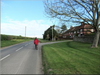
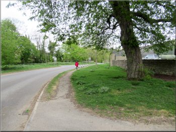
At the A170 we crossed the road and walked along the A170 for about 100m to Wood Gate Way on our left. We turned left into Wood Gate Way back to our parking spot and the end of our walk. The weather had remained fine and we had completed the 8km walk in about two and a half hours.
|
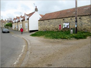
We walked along Ings Lane into the village to a road junction where there was a bridge over Brompton Beck on our left. At this junction we turned right away from the bridge to walk along Hungate up the hill to the A170, called High Street in the village.
Bridge over Brompton Beck
Following Hungate up to the A170
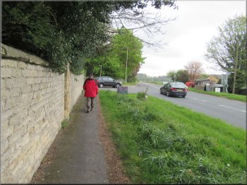
Nearing our turning off the A170 to Wood Gate Way
|
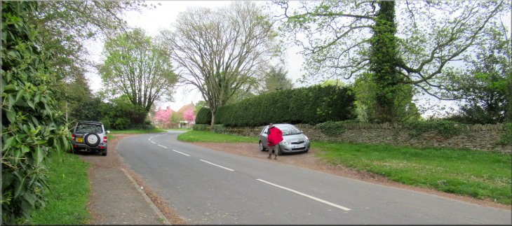
Back at our parking spot off Wood Gate Way at the end of our walk
|