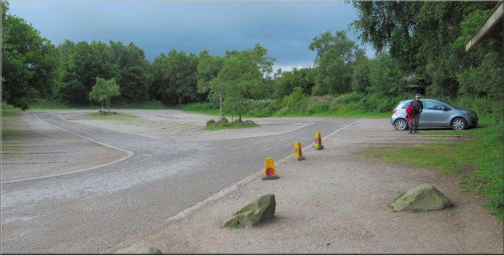
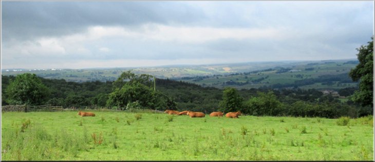
We made an early start from the empty National Trust car park at Brimham Rocks
|

|
|
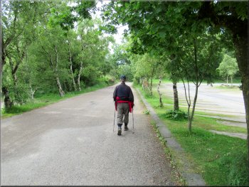
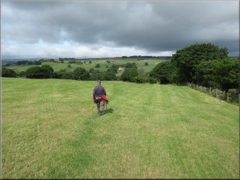
We walked back towards the car park entrance
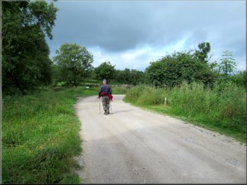
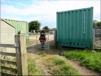
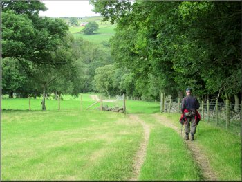
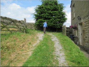
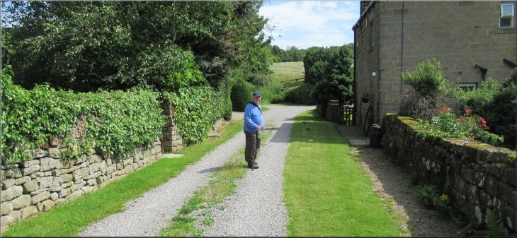
We followed the farm access track towards Druid‘s Cave Farm

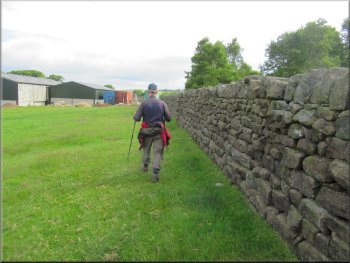
Passing Druid‘s Cave Farm
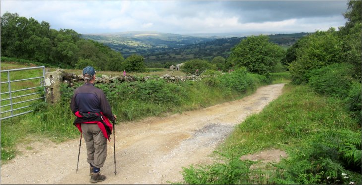
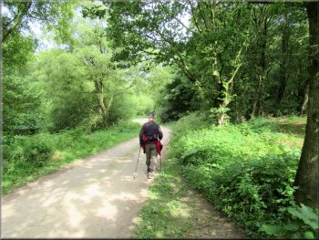
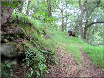
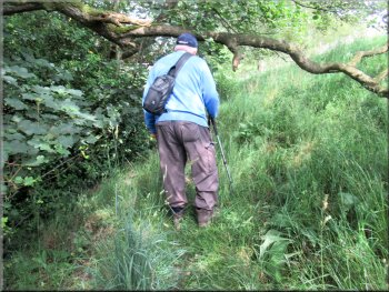
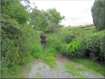
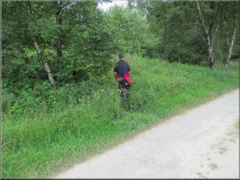
We followed the track for about 600m to Druids Cave Farm. We continued past Druid's Cave farm for about 100m and just before the next farm on our right we turned right off the track on to a narrow rather overgrown public footpath around the farm, now on our left, with the National Trust Brimham Rocks site above us to our right. |
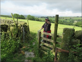
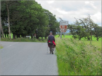
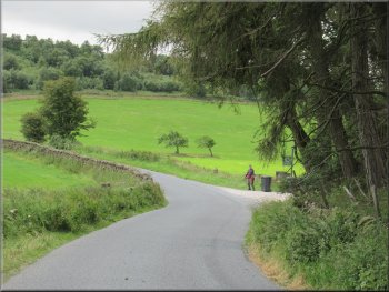
This morning was the start of another fine warm sunny day. My friend, Jim, and I drove to the National Trust site at Brimham Rocks and parked in the National Trust car park at map ref. SE 208 646. From our parking spot we walked back towards the car park entrance. About 100m before we reached the public road we turned right at a sign to Druids Cave Farm.
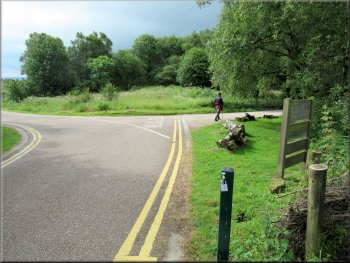
Just before we reached the public road we turned right
The farm access track to Druid‘s Cave Farm
About 1100m past Druid‘s Cave Farm we turned right
|
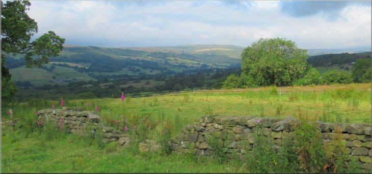
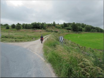
Looking NW from the farm access track just past Druid‘s Cave Farm
Looking SW from the farm access track just past Druid‘s Cave Farm
|
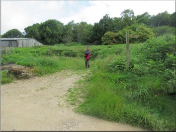
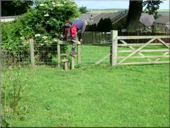
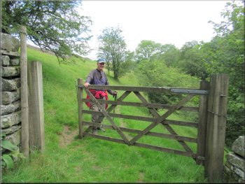
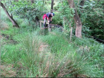
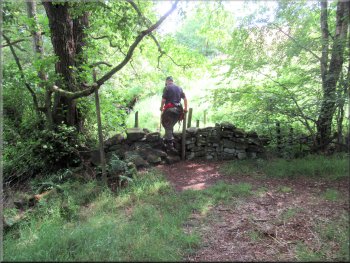
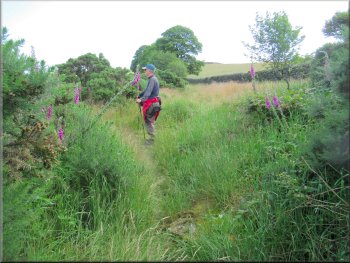
Turning right onto a narrow path around some farm buildings
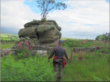
Rocky outcrop where the footpath bent to our right
Through the gate the path kept to the left of the wall
We followed the yellow way-mark arrows . . .
Stile to the track by the farm house
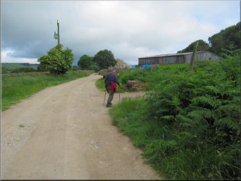
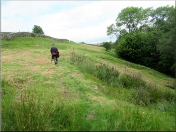
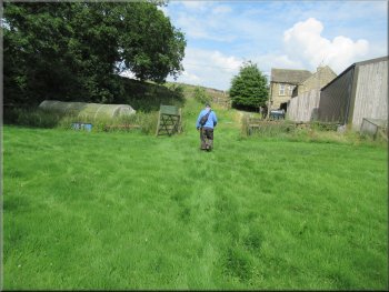
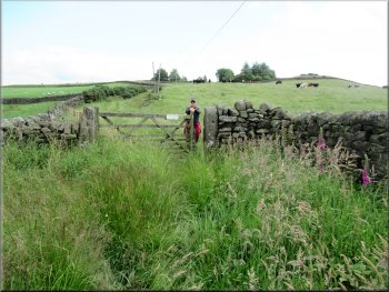
It turned out that the path was well signed and we just followed the yellow arrows down the field edge to the farm and around the farm house. From there we began descending along the public footpath with the field edge on our right, down towards Fell Beck. |
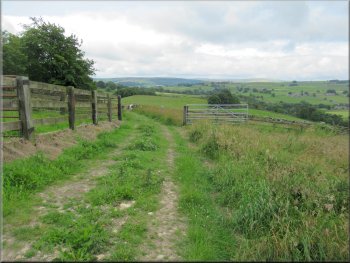
We followed this path for about 500m with a dry stone wall on our left towards High North Pasture Farm. There were some farm buildings on our left, part of the farm but not shown on my OS Explorer map. This caused us a little navigational confusion particularly as the way marked path turned left and then right to continue now with the wall on our right, about 100m before we reached the farm.
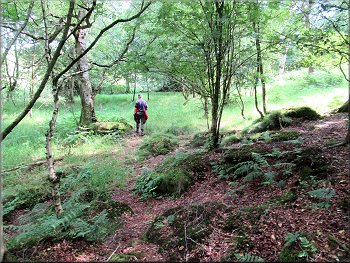
Following the footpath away from the farm buildings
Following the footpath with the field edge on our left
We followed the path on the left hand side of the wall

. . . turning left guided by the way-mark arrows
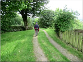
We turned left following the track away from the farm house
|
At a right hand bend in the track we kept straight on to the path across the field
|
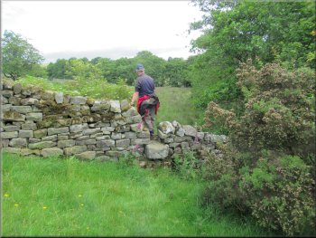
Stile near the bottom left hand corner of the field
Path down the valley side with the field edge on our right
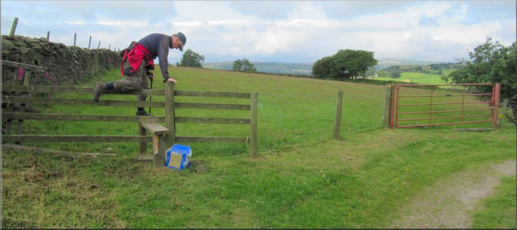
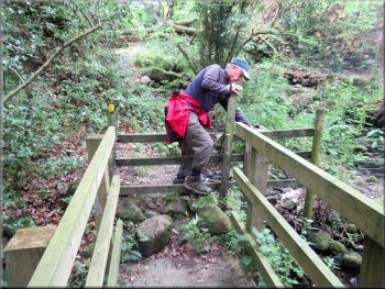
We continued with the edge of the field on our left to cross a stile into the next field from where we followed the path down the valley side with the field edges on our right. At the valley bottom we followed the track over a footbridge across Fell Beck. |
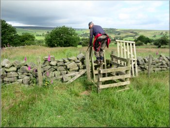
We crossed a stile on our left from the farm track just below the farm house where the track made a bend to our right. We crossed this field to a stile near the bottom left hand corner of the field.
From this gate the path continued with the field edge on our right
Path nearing Fell Beck with the field edge on our right
|
Footbridge across Fell Beck near Mill House
|
Right turn past the building materials to the beck side path
Right turn from the missing stile to cross the dry beck
Field above the beck at the top of the wooded bank . . .
Path along the wooded bank above Fell Beck
Gate from the wooded bank into a field . . .
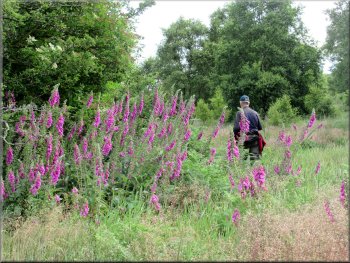
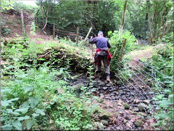
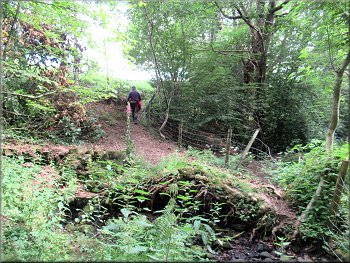
We climbed over the fence/'stile' and turned right to cross a dry stream bed and then climbed up the bank still following the route of the public footpath. At the top of the bank we entered some pasture land. We walked along the bottom edge of this field above the Fell Beck. At the end of the field we crossed a stile into a wooded bank above the beck. From this woodland we followed the path into a field with a pedestrian gate at its top edge that leads to Knoll Top farm. |
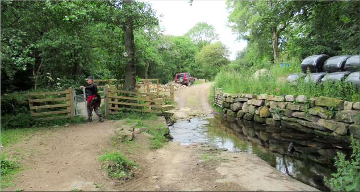
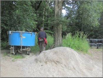
Once across the Fell Beck we turned right to follow a public footpath along the western side of Fell Beck. We missed this turn at first because the start of the path is blocked by a heap of building aggregate and a large blue tub. About 100m along the path we seemed to come to a fenced dead end but it was simply that the step of the stile over the fence at the end was completely missing.
The stile at the end was missing
Climbing up the bank from the dry beck
. . . Stile into the woodland from the field
Path along the wooded bank above Fell Beck
. . . Path from the gate to the wall at the top of the field
|
Passing the path at the top of the field that leads to Knoll Top
|
Bearing right down the slope to the stile to the next field
Very wonky stile from the marshy field to Fell Beck
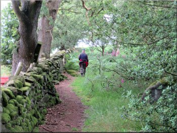
Path through the woods with the beck on our left
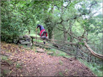
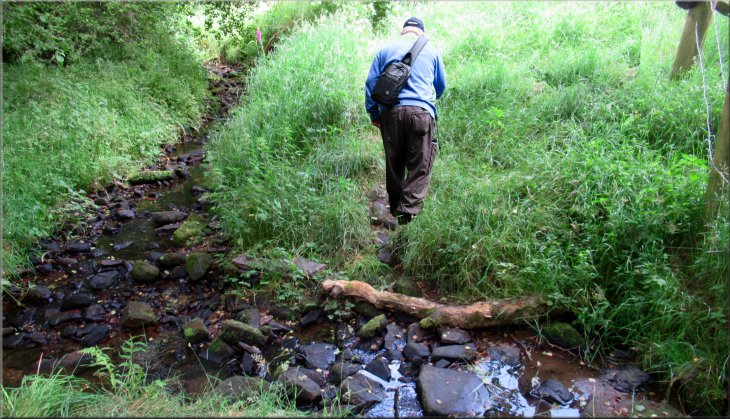
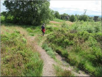
We crossed the beck on some very informal stepping stones and climbed up the bank to continue along the public footpath through a wooded area with a beck now on our left. After about 100m we crossed a stile in the stone wall to a small water course called Pencil Dike. |
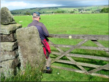
We passed this pedestrian gate on our left and continued bearing right down the slope to a stile into the next field. In this field the path dropped down to a marshy area next to Fell Beck. We crossed a very wonky stile from the field to the side of the beck.
Stile to the next field dropping down to Fell Beck
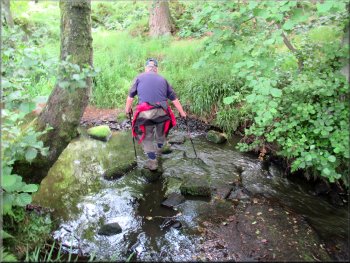
Crossing Fell Beck on some informal stepping stones
Stile down to Pencil Dike
|
Path across Pencil Dike with Black Dike joining it from the top of the photo & together flow into Fell Beck
|
Narrow awkward little path above Black Dike
Gate to a stone slab bridge over Black Dike
Turning right on to the lane from Sugar Hill Farm
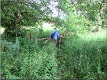
We followed the path for about 150m to a pedestrian gate that took us to a stone slab bridge across Black Dike and into the small field behind Sugar Hill Farm. We followed the path across the field and out past the farm to the lane in front of the farm. |
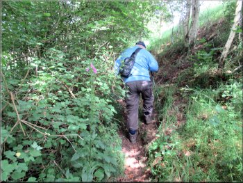
We continued straight ahead along a narrow overgrown path with another small watercourse, called Black Dike on our left. (note: on my OS Explorer map the public footpath is shown on the other side of the watercourse but that bank is completely overgrown)
Branches at head height over this awkward little path
Path cross the field and out to a lane past Sugar Hill Farm
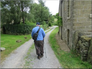
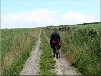
Following the lane past Sugar Hill Farm
|
Approaching the end of the gravel lane that then continues as an overgrown footpath up the hillside
|
Overgrown footpath from the end of the lane
Gate into a field with frisky young beef cattle
Looking back along the track
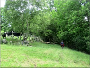
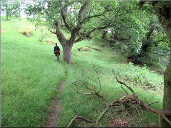
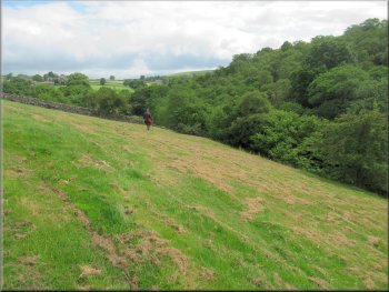
We climbed up along this walled track for about 1km to a public road at map ref. SE 212 661. There was one short section of the track that was walled on one side and open to the field on the other side where there was a herd of frisky young beef cattle. At the road we turned right and walked along the road towards Brimham Rocks. |
At the lane we turned right and walked along the lane. At this point the lane was a stony access track, but after less than 50m the stony lane stopped and continued as an overgrown walled track climbing up the hillside with a narrow footpath through the undergrowth.
Footpath along a walled track up the hillside
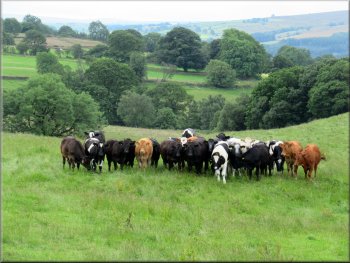
Frisky beef cattle followed our progress to the top of the field
Continuing along the fenced track up to the road
|
Turning right from the track on to the road heading back towards Brimham Rocks
|
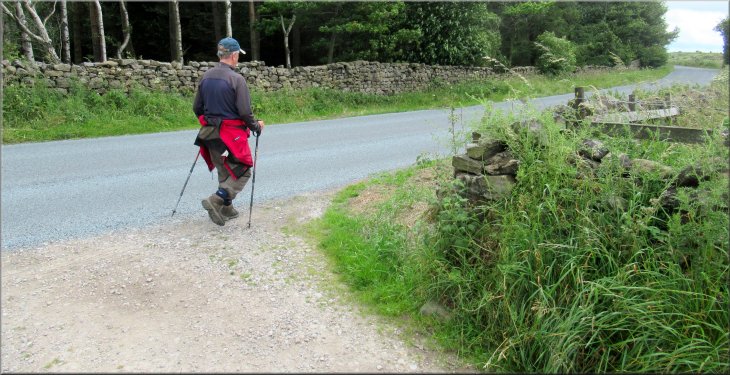
Following the road back towards Brimham Rocks
Turning off the road to a track at the edge of Brimham Rocks
There was a path to follow and it did become clearer . . .
Rocky outcrop near the Visitor Centre
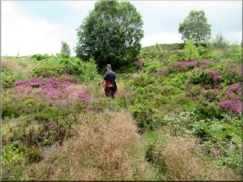
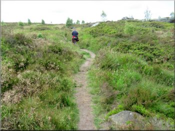
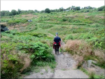
Just a few metres further on the turned left off the stony access track to follow a narrow overgrown path up through the bracken and heather across the moor. We followed this path which soon became quite well defined across the moor towards the National Trust Visitor Centre. |
After about 600m along the road we came to a sharp left hand bend in the road with a stony access track off to the right on the bend. Here we turned right off the road to follow the stony access road through the open access land of the Nation Trust site. After about 200m along the track we passed a small installation in the bracken to our left that I took to be a spring water supply to a local farm.
Following the road back towards Brimham Rocks
Turning left off the stony track to a narrow overgrown footpath
. . . the path towards the Visitor Centre became much clearer
We took a path to the car park by-passing the Visitor Centre
|
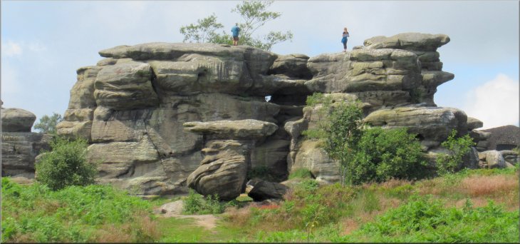
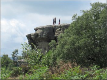
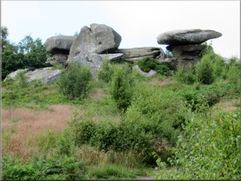
The Visitor Centre is on the far side of this impressive rocky out crop
|
Our path to the car park took us past these rocks
Our path heading back towards the car park
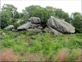
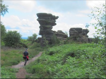
Impressive rock formations along the way
There are a couple of places where we had needed to take care with our navigation and there were several awkward wonky stiles to cross. I think it would not have been advisable to take a dog through the beef cattle we met on the track up from Sugar Hill Farm.
|
We followed a path by-passing the visitor centre to our right and continued through the amazing rock formations through the moorland and woodland back to the car park and the end of our walk. The whole walk had been 7km and me and my decrepit knees had taken almost four hours to walk the route.
Our path heading back towards the car park
Impressive rock formations along the way
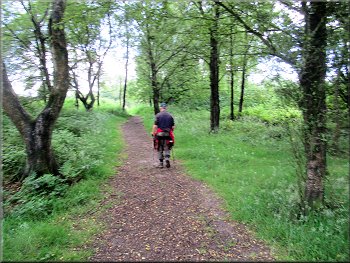
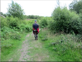
Path through woodland near the car park
|
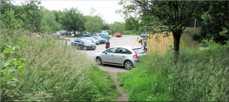
Back at the car park, much busier than when we left it
|