|
2001 walks |
2002
walks |
2003 walks |
2004
walks |
|
2005 walks |
2006
walks |
2007 walks |
2008
walks |
|
2009 walks |
2010
walks |
2011 walks |
2012 walks |
|
2013 walks |
2014 walks |
2015 walks |
2016 walks |
|
2017 walks |
2018 walks |
2019 walks |
2020 walks |
|
2021 walks |
1993-2000 library |
Find a Route Index |
|
A few Routes to print out |
Request a Route... |
Route No. 784 - Thursday 15 August 2019
Hawnby Church, Coomb Hill, Arden Hall,
Mount Pleasant Farm, Church Bridge circuit - 6km
North York Moors . . .
Route map from Ordnance Survey
Open Space service.
Map: OS Explorer OL26 North York Moors Western area
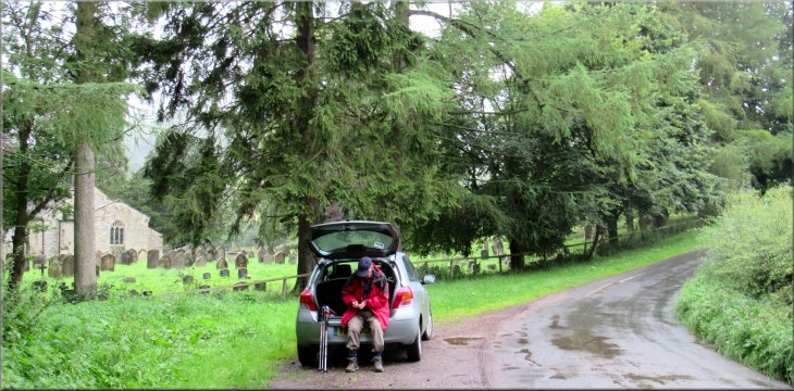
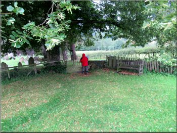
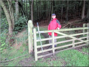
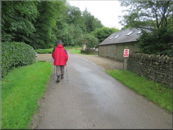
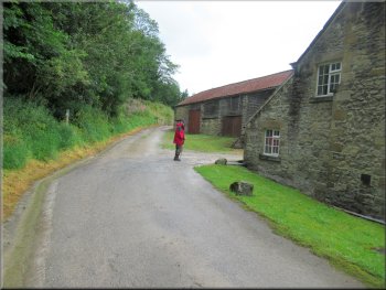
Our parking spot by the churchyard at All Saints Church, Hawnby
|

|
|
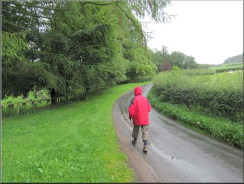
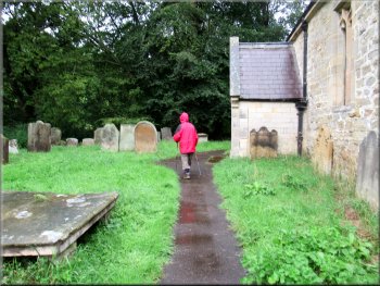
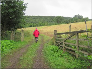
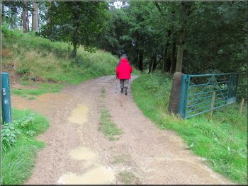
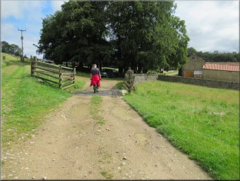
Setting off up the road to the churchyard entrance
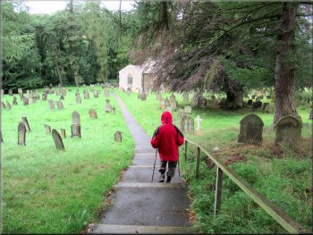
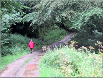
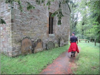
Gravel path down to All Saints Church
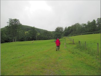
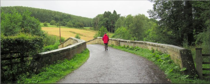
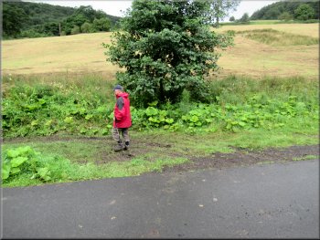
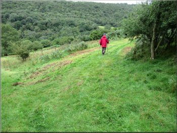
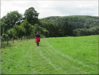
Field path from the church to the road
We followed the path from the gate through the churchyard down to the church. We continued along the gravel path round the church to a gate out to the field next to the church. From the churchyard there is a grassed over hardcore track along the edge of the field to the road. At the road we turned left to walk along the road for about 100m to Church Bridge across the River Rye. |
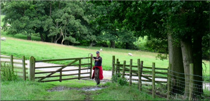
The weather forecast for today expected a damp start with the showers being replaced by sunny spells as the morning progressed. My friend Jim & I drove out to All Saints Church, Hawnby, and parked in an informal lay-by next to the church yard at map ref SE 537 897. From our parking spot we walked along the road next to the churchyard for about 50m to the entrance to the churchyard on our left.
Gate into the churchyard
Path around the church & out to the field
Joining the road from the field path near Church Bridge
|
Crossing the River Rye on Church Bridge
|
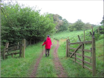
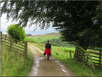
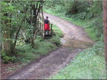
Left turn at the end of the bridge on to a bridleway
Bridleway climbing up along the farm track
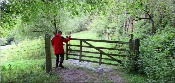
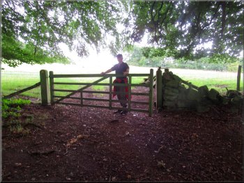
Through the gate the bridleway turns right up the hillside
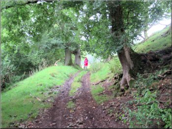
We continued climbing along the edge of the next field to the gateway at the end of the field. From this gateway there was a track straight ahead where there is a 'Conservation Walk' around the bottom of Coomb Hill. We have used this permissive path before but that was not our route today. We passed through the gateway and after about 5m we turned right still following the bridleway straight up the hillside towards Nag's Head Wood on Coomb Hill. |
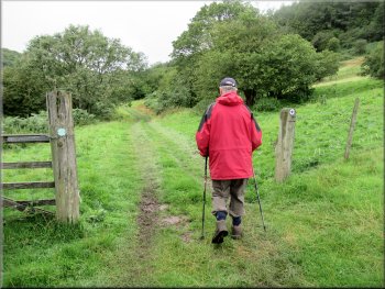
We crossed the road bridge and just after the bridge we turned left off the road doubling back along a bridleway on a muddy track next to the road. After about 15m we turned right through a gateway into a field. From the gateway the bridleway continued along a clear farm track bending round to our right and climbing along the bottom edge of the field.
Bridleway along a farm track into the fields
Bridleway climbing up along the farm track
Our right turn following the bridleway up the hillside
|
Jim waiting for me at the sharp left turn in the track & bridleway
|
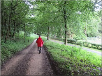
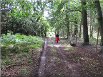
Track following the contour round the hillside
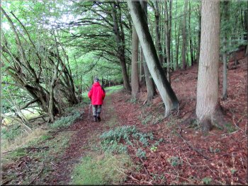
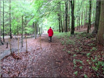
Bridleway along a pleasant track through the wood
Silly Me! We passed the gate & walked round the pheasant pen
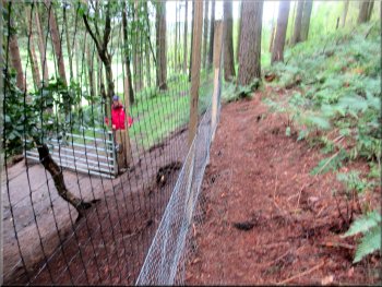
Gate on the track at the far end of the pheasant pen
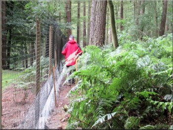
Goodness knows what I was thinking, if anything. Instead of continuing along the clear track we continued around the outside of the pheasant pen. The pen turned out to be around 300m long and walking around the outside of the pen was a bit awkward. At last we came to the end of the pen and dropped down to the gate where the bridleway along the track emerged from the pheasant pen. From the gate of the pen we walked along the track to the edge of the wood, about 100m and came out in a field at the site of the ruined Coomb Hill House. |
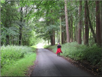
After a little over 100m straight up the hillside we followed the bridleway round a left hand bend in the track and after another 60m we came to a gate into Nag's Head Wood. We followed the bridleway along a good track through the woodland for around 400m to a point where there was the high mesh fence of a pheasant rearing pen along the left hand side of the track. We came to a galvanised steel gate across the track where the mesh pheasant fence crossed the track. Here I made a very silly mistake. We should have gone through the gate and continued along the track inside the huge pheasant pen.
Gate where the track enters Nag‘s Head Wood
High mesh fence round a pheasant pen
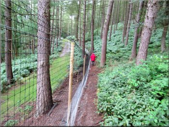
Nice track inside the fence, a bit awkward outside
Track from the pheasant pen gate to the edge of the wood
|
Gate to the field next to the site of Coomb Hill House
|
Crossing the field from the wood to the farm track below
Track from the field heading for Arden Hall
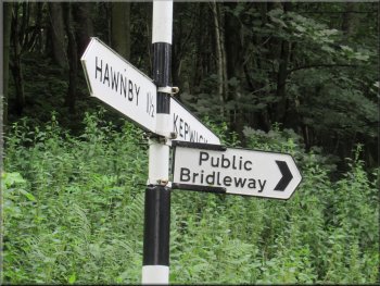
Road sign confirming the bridleway route towards Arden Hall
We continued along this track to the road opposite the entrance to Arden Hall. There was a road sign here which unusually included a sign to a bridleway along the drive towards Arden Hall. We crossed the road and followed the route of the bridleway down to the hall.
|
Here we dropped down across the field still along the bridleway to a farm access track. This track is the route of the permissive path around Coomb Hill that I mentioned earlier. We followed this track through an open gateway out of the field into some woodland, leaving the bridleway behind.
Farm track leaving the field heading for Arden Hall
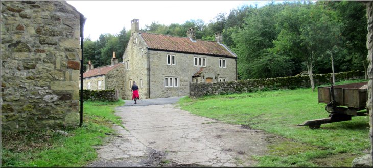
About to join the road at the entrance to Arden Hall
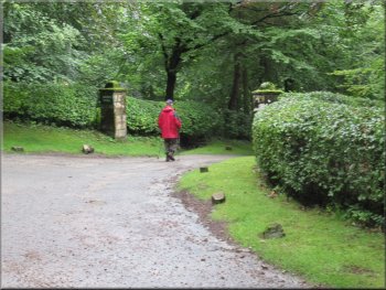
Entering the drive to Arden Hall from the road
|
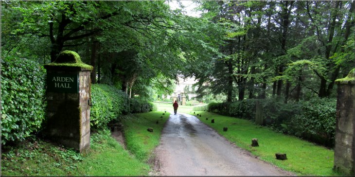
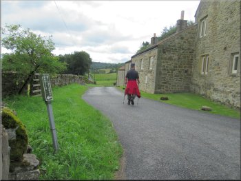
Approaching Arden Hall along the drive We turned left at the junction in front of the house
|
Heading away from the hall after our left turn
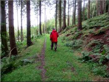
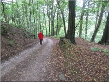
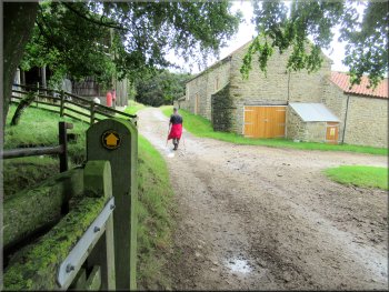
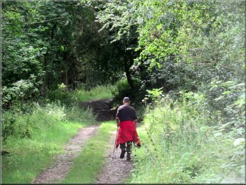
Following the bridleway between the buildings
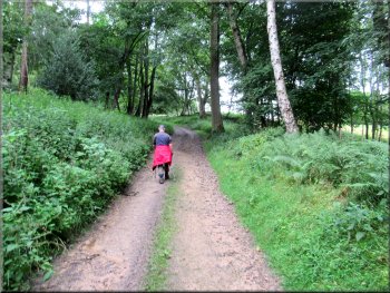
Bridleway on the track up through the wood
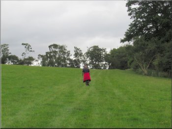
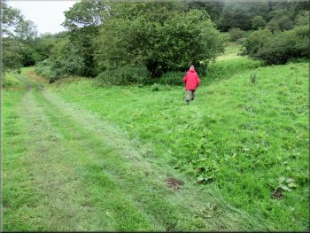
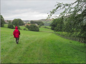
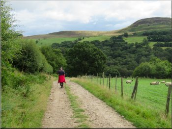
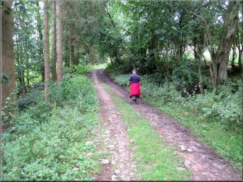
Field path towards Mount Pleasant Farm
The bridleway continues to our left climbing up Thorodale to the Hambleton Drove Road, but we turned right off the bridleway on to a public footpath along the edge of the fields. After about 500m across the fields we came to a gate on to the access track to Mount Pleasant Farm. |
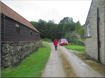
At the junction in front of the hall we turned left and after about 100m from the junction we turned right along an access road past some estate farm buildings and a row of cottages. We followed the bridleway along the access track from these buildings up through some woodland for about 300m to a sharp left hand bend.
Our right turn between the cottages & farm buildings
Bridleway on the farm track heading away from the buildings
Our right turn off the bridleway to a path across the fields
Field path towards Mount Pleasant Farm
|
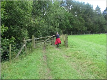
We turned left at the gate to walk along the access track to Mount Pleasant Farm
|
The track to Mount Pleasant Farm
Walking through Mount Pleasant Farm
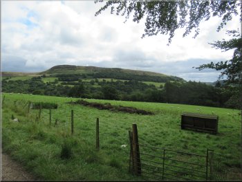
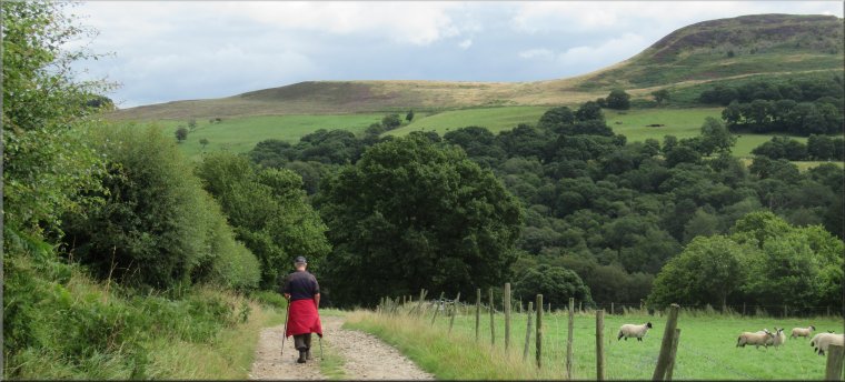
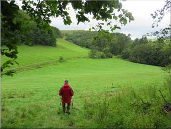
The ridge of Hawnby Hill seen from the track near the farm
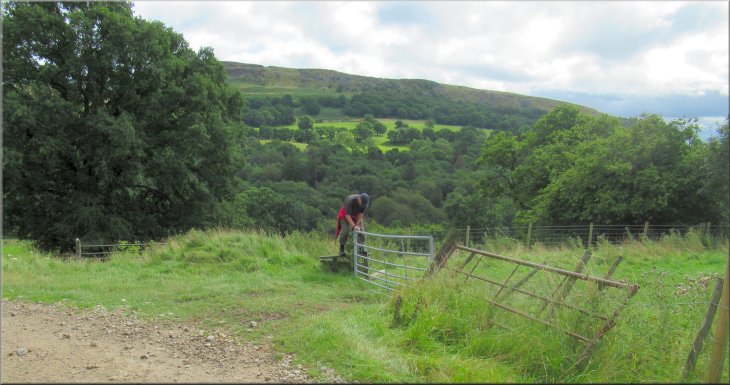
We followed the footpath along a farm track for about 200m from the farm to a sharp left hand bend where there was a fine view across Ryedale to the ridge of Hawnby Hill. At this bend we turned right over a wooden stile to a path along the edge of the field. |
We passed through the gate and turned left to follow the footpath along the access track to the farm. We took the path on our right to walk between the farm buildings along the public footpath through Mount Pleasant Farm.
Turning right to walk through Mount Pleasant Farm
Following the track away from Mount Pleasant Farm
Looking across Ryedale to Hawnby Hill
|
Right turn off the track to the path along the edge of the field
|
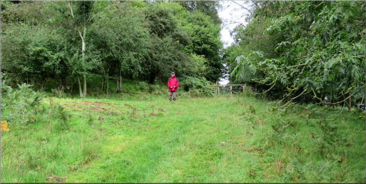
Path along the field edge to Half Moon Plantation
Dropping down to the beck from Thorodale
Climbing up from the beck towards New Hall farm
After about 450m through the woodland we came to a ford across the beck flowing out of Thorodale. We crossed a footbridge across the beck next to the ford. From the beck we followed the track climbing up the hillside for about 300m to New Hall farm at the road. |
After about 100m we came to a gate on our left where we passed through the gateway to continue along the public footpath on an access track down through some woodland called Half Moon Plantation.
Through the gate into Half Moon Plantation
Crossing the beck from Thorodale
Climbing up from the beck towards New Hall farm
|
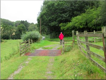
Joining the road at New Hall farm
|
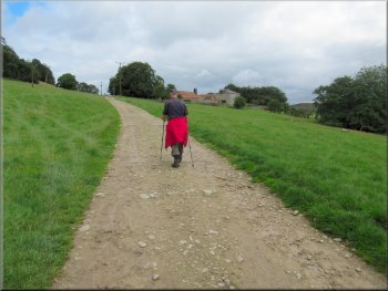
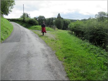
Following the road down from New Hall farm
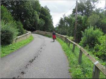
Crossing back over the River Rye on Church Bridge
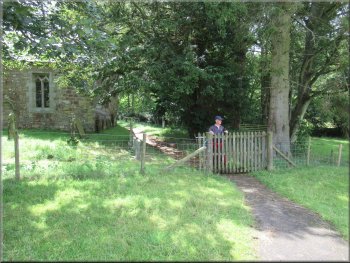
Entering the churchyard from the field track
The path through the churchyard took us back to the road and our parking spot at the end of our walk. The whole route had been 6km and it had taken me almost three hours to complete the walk. |
At the road we turned left and walked along the road down to Church Bridge over the River Rye and then retraced our steps back across the field to the church and through the churchyard.
Following the road down to Church Bridge
Turning off the road to the field track to All Saints Church
Gravel path round the church back to the road
|
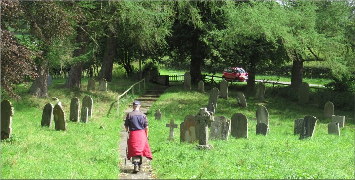
Path from the church up to the road and our parking spot at the end of our walk
|