|
2001 walks |
2002
walks |
2003 walks |
2004
walks |
|
2005 walks |
2006
walks |
2007 walks |
2008
walks |
|
2009 walks |
2010
walks |
2011 walks |
2012 walks |
|
2013 walks |
2014 walks |
2015 walks |
2016 walks |
|
2017 walks |
2018 walks |
2019 walks |
2020 walks |
|
2021 walks |
1993-2000 library |
Find a Route Index |
|
A few Routes to print out |
Request a Route... |
Route No. 789 - Wednesday 25 September 2019
Danebridge, Ship Inn, Whitelee farm, Shell Brook,
Barleigh Ford Bridge, River Dane, Wincle Brewery
7km circuit - Peak District . . .
Route map from Ordnance Survey
Open Space service.
Map: OS Explorer OL24 The Peak District White Peak area
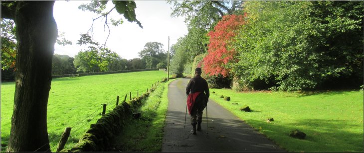
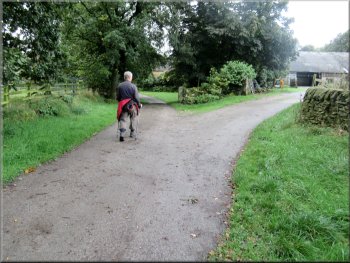
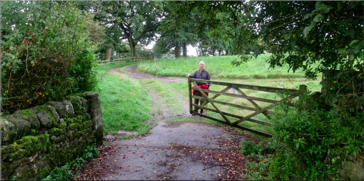
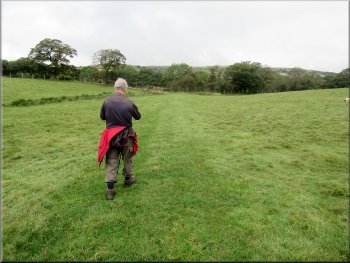
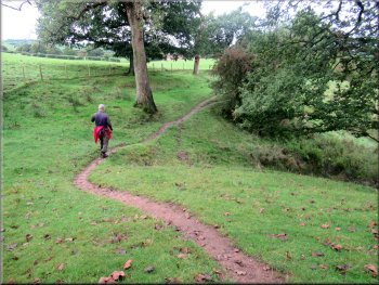
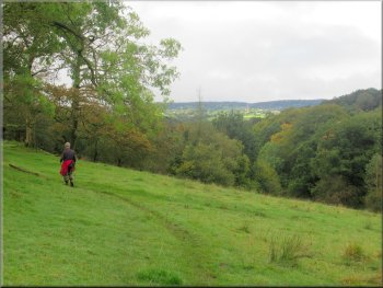
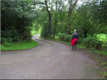
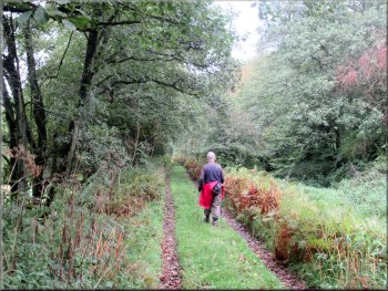
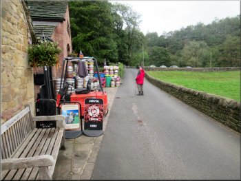
Setting off from our parking place up the road towards the Ship Inn
|

|
|
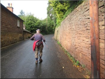
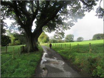
Passing the houses at Chapman Row
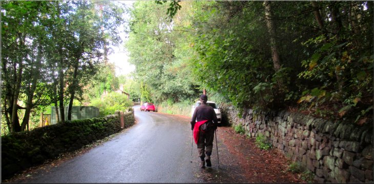
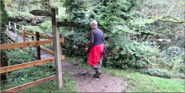
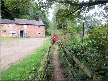
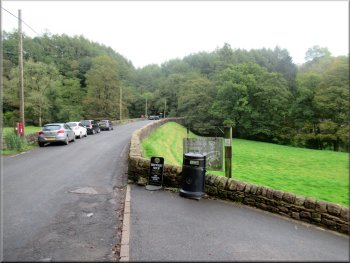
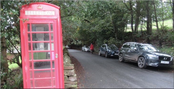
At the 'T'-junction in Wincle we turned left and drove towards Danebridge. We parked on the left hand side of the road a few hundred metres before we reached the River Dane, not far from the entrance to the Wincle Brewery at map ref. SJ 964 652. This is a popular parking place for both local residents and visitors to this pretty valley along the side of the road from the Wincle Brewery almost to the Ship Inn. From our parking place we walked back up the road for about 200m to the Ship Inn. |
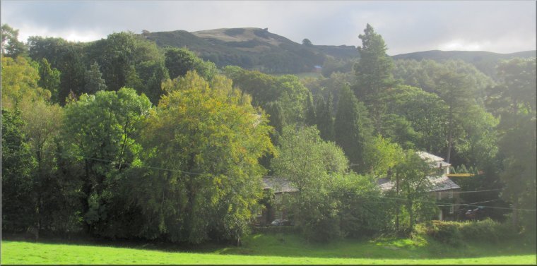
My friend, Jim, and I are staying at a pub in Buxton in Derbyshire for two nights to do a couple of walks on the borders of Derbyshire, Staffordshire and Cheshire. The weather forecast for today was quite good with broken cloud and a few light showers. We drove out of Buxton on the road to Congleton, the A54. Just beyond the hamlet of Allgreave we turned left off the A54 to the village of Wincle. We came to a 'T'-junction in Wincle next to the church.
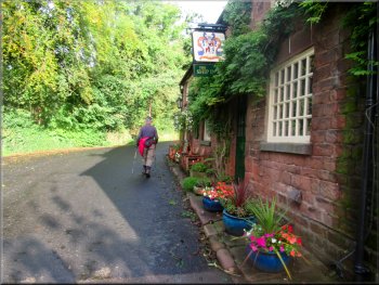
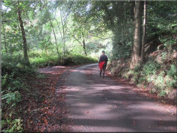
Passing the Ship Inn
|
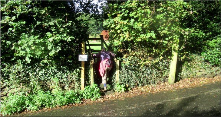
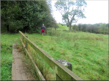
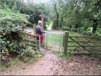
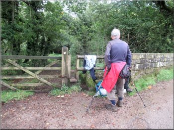
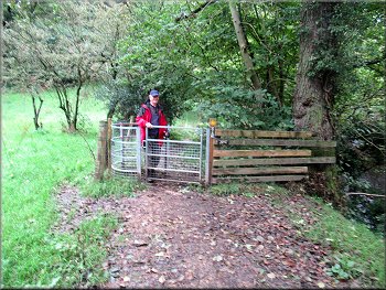
About 40m past the Ship Inn we turned left off the road over a wooden step stile to a path across the field
|
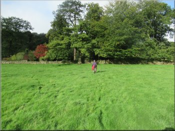
Crossing the field from the stile
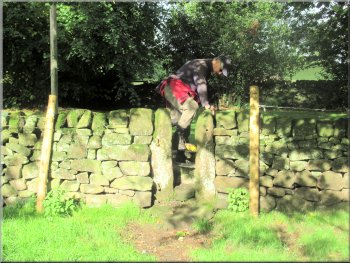
Squeeze stile from the field on to a surfaced access road
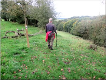
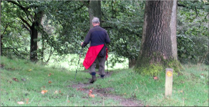
We turned left and walked along the access road. To our left looking over the field and the Ship Inn there was a craggy hill visible above the trees. At the top of the hill is the 'Hanging Stone' that we could just make out without the binoculars. |
We continued past the Ship Inn for about 40m and then turned left off the road over a wooden step stile to a path across the field. There were a couple of donkeys grazing at the right hand end of the field. We crossed the field, about 50m, to a squeeze stile through the stone wall on to a surfaced access road.
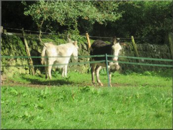
Donkeys grazing behind an electric fence at the end of the field
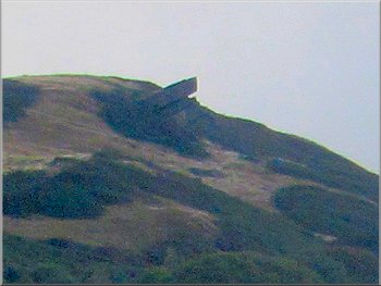
The Hanging Stone on top of the hill across the valley
|
Walking along the surfaced access road towards Whitelee farm
|
Walking along the surfaced access road towards Whitelee farm
Dropping down to cross a little side valley
We took the left hand fork into Whitelee farm
Some of the outbuildings seemed to be holiday cottages. We continued along the public footpath through a field gate from the yard to a farm track along the edge a the field. |
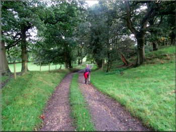
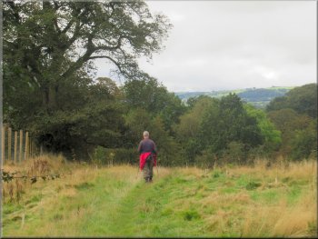
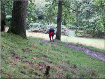
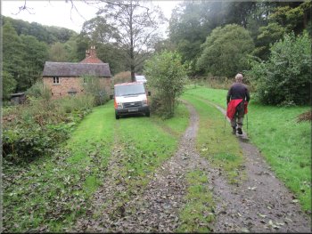
We walked along the surfaced access road for about 1km across the little side valley of a tributary of the River Dane to Whitelee farm. We followed the public footpath through the yard at Whitelee.
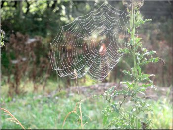
Dewy cobweb on the roadside
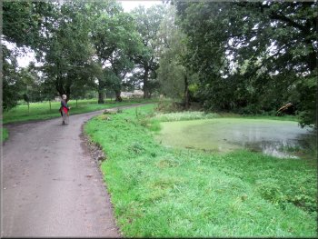
Pond by the access road near Whitelee farm
Walking through the yard at Whitelee farm
|
Gate to the fields from the yard at Whitelee farm
|
Leaving Whitelee farm along a track around the field edge
We crossed this field to the gate on the far side
Shell Brook is another tributary of the River Dane. The purpose of the deer fence seemed to be to confine the wild deer to the wooded valley of Shell Brook. |
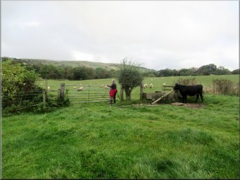
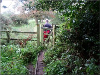
We followed the track around the edge of the field and then across two more fields to a large timber kissing gate in a deer fence at the edge of the valley of Shell Brook.
Following the farm track up to the gate into the next field
We continued across the next field to the deer fence
|
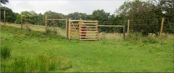
Kissing gate in the deer fence at the edge of the valley of Shell Brook
|
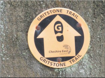
Way mark sign for the Gritstone Trail route
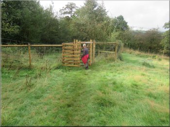
After only 250m we crossed back through the deer fence
Continuing along the top edge of Shell Brook valley
Four way mark arrows at the turn down the valley side
At these signs the trail bears to the right and drops quite steeply diagonally down the valley side. About half way down to the Shell Brook the path follows the contour around the valley side and there are short lengths of board walk crossing the boggy bits. |
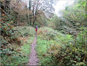
Through the deer fence we turned left and joined the 'Gritstone Trail'. We followed the Gritstone Trail along the rim of the valley for about 350m and then we came to an array of four trail direction arrows presumably intended to make sure that no-one misses the right turn here.
Continuing along the edge of Shell Brook valley
Continuing along the top edge of Shell Brook valley
Continuing along the top edge of Shell Brook valley
Short board walks over the boggy bits lower down the hillside
|
Edge of the woodland where the path dropped steeply down to a farm access road
|
Dropping down to a farm access road
Following the farm access road down to the River Dane
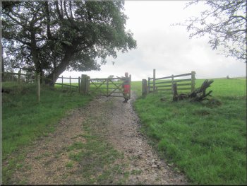
We continued along the farm access road to cross Barleigh Ford Bridge over the River Dane. We were still following the route of the Gritstone Trail along the farm access road which now began to climb up the valley side. |
After about 400m along this relatively level part of the trail we came to the edge of some woodland where the trail dropped quite steeply down the headland through the wood to join a farm access road coming from our left from Barleighford Farm.
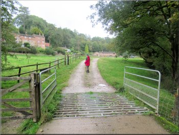
Kissing gate onto a farm access road
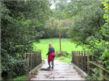
Barleigh Ford Bridge over the River Dane
|
Farm access road climbing up from the bridge over the River Dane
|
Chatting to a walker who had stopped for lunch by the stile
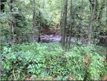
Steep drop to the River Dane on our left
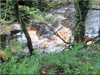
Rapids on the River Dane below us
Following the path along the embankment towards Gig Hall
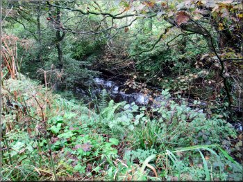
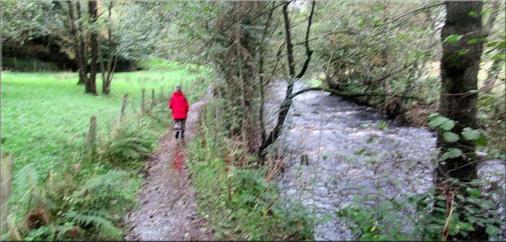
We continued along the Gritstone trail from the stile. The path was along the top of an embankment with a steep drop down to the River Dane on our left and a short drop to an overgrown water channel (simply called 'conduit' on the OS Explorer map but elsewhere it is called a canal). Clearly there was a lot of work involved in its construction but what it was used for I don't know. We walked alongside this manmade watercourse for about 1.3km to a footbridge across the River Dane below Gig Hall. |
About 250m beyond the bridge the access road bent to our right, but we kept straight on over a step stile still following the route of the Gritstone Trail. Another walker was sitting on the wall next to the stile having his lunch and we stopped for a drink and a chat. He was checking out a 12 mile route that he was leading at the weekend and I did feel a little envious of him for the days when we used to do such walks but those days are long gone now.
Path on an embankment by an overgrown water course
Overgrown man-made water course on our right
House between the path and the river
Following the path towards Gig Hall footbridge
|
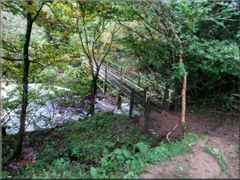
About to cross Gig Hall footbridge over the River Dane
|
Looking back to the footbridge over the river
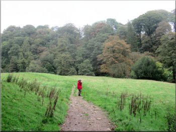
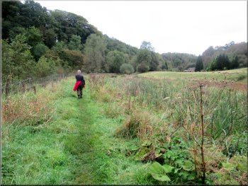
Path crossing the fields from the footbridge
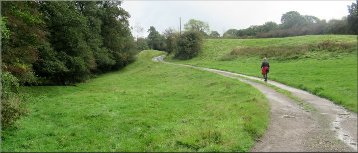
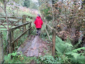
Across the footbridge we continued to follow the route of the Gritstone Trail across the fields next to the River Dane. For the first kilometer the path was a little way back from the river. Then at a bend in the river, the path and the river moved close together again. |
We turned left and crossed the River Dane on the Gig Hall footbridge. Just upstream of the bridge is a curved weir and there was a good view of the water pouring over the weir after all the recent rainfall.
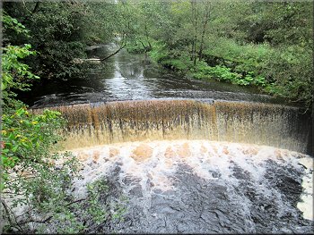
The curved weir upstream of the footbridge
Kissing gate to the path next to the river
|
From the kissing gate the path was next to the river
|
Footbridge over a small side stream
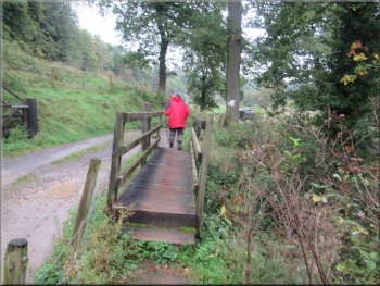
The path joined the access track here
The access track leading to Wincle Brewery
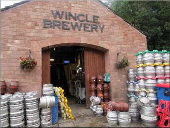
The entrance to Wincle Brewery and shop
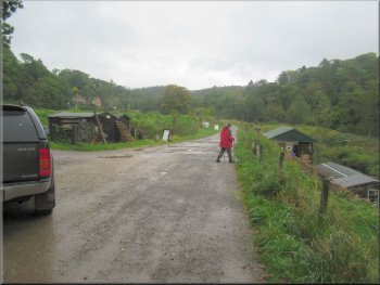
About 50m past the brewery we reached the road. Here the gritstone trail turned right to the road bridge across the River Dane and we turned left to walk about 100m up the road back to our parking place and the end of our walk. The whole route had been 7km and it had taken us about three hours to walk it. We drove back into Buxton for some lunch. |
We approached some farm buildings built in the local pink stone. As we left these buildings the path joined the access track to the buildings. We followed the access track past a fish farm and continued for another few hundred metres to the Wincle Brewery where the brewery shop was open.
Pink stone buildings next to the path
Passing through the fish farm on the access track
Passing Wincle Brewery on the access track
At the road the gritstone Trail turned right to Dane Bridge
|
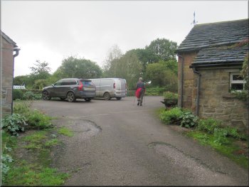
At the road we turned left to walk about 100m back to the car and the end of our walk
|