|
2001 walks |
2002
walks |
2003 walks |
2004
walks |
|
2005 walks |
2006
walks |
2007 walks |
2008
walks |
|
2009 walks |
2010
walks |
2011 walks |
2012 walks |
|
2013 walks |
2014 walks |
2015 walks |
2016 walks |
|
2017 walks |
2018 walks |
2019 walks |
2020 walks |
|
2021 walks |
1993-2000 library |
Find a Route Index |
|
A few Routes to print out |
Request a Route... |
Route No. 819 - Wednesday 16 September 2020
Terrington, footpath to Sleigh Lane,
Ganthorpe, Broats Lane circuit - 5km
Howardian Hills . . .
Route map from Ordnance Survey
Open Space service.
Map: OS Explorer 300 Howardian Hills & Malton
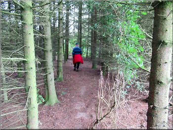
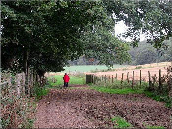
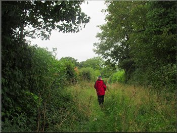
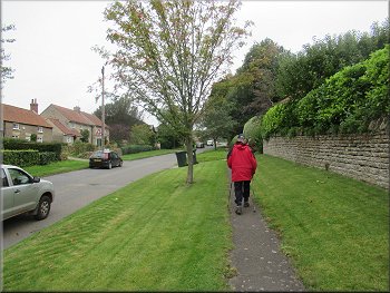
Setting off from our parking spot on Chapel Lane in Terrington
|

|
|
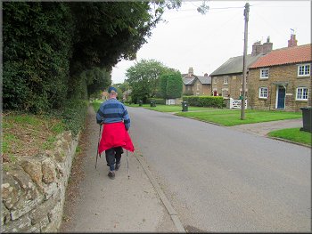
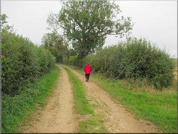
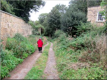
Walking along the main street in Terrington from Chapel Lane
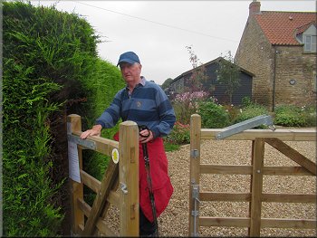
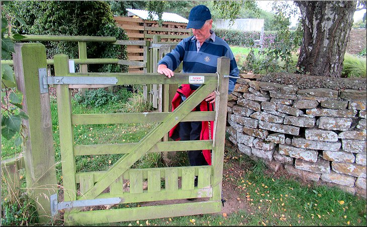
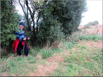
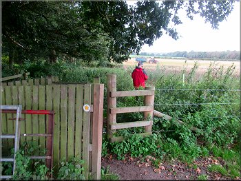
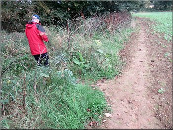
Gate where the path was diverted round the garden
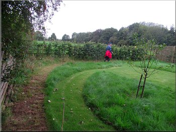
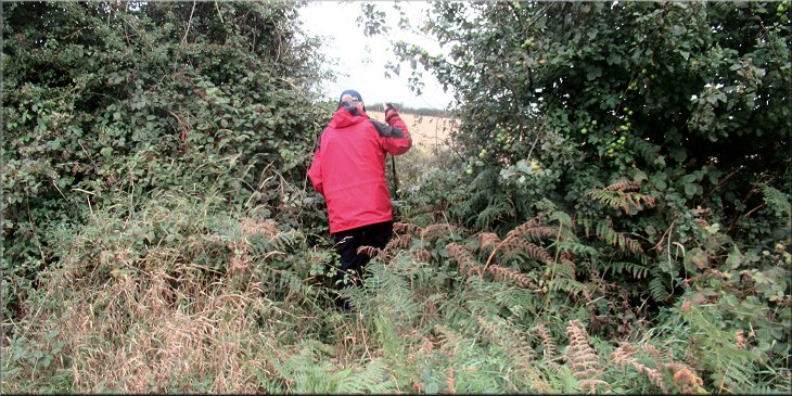
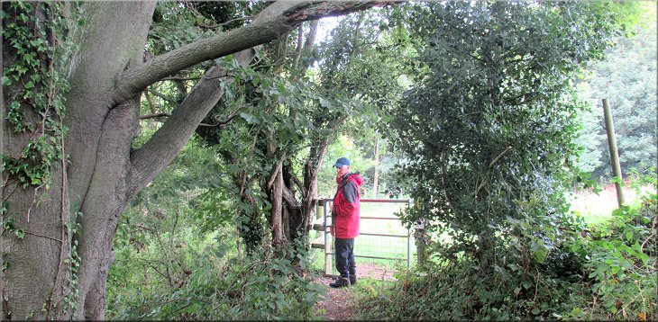
Then we turned right off the main street along a public footpath up a gravel drive to a gate into a large cottage garden. There was a laminated notice on the gate asking walkers to follow a diversion around the perimeter of the garden keeping walkers well away from the house. We were happy to do this in view of all the troubles with the Corvid19 outbreaks. The diversion was well marked along a mown strip around the edge of the garden to rejoin the route of the public footpath at a gate in the corner of the garden where the path led out into the open fields. |
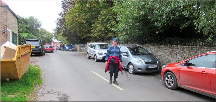
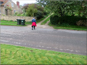
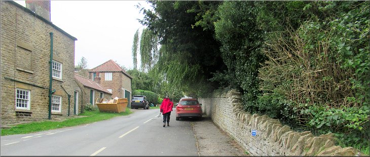
It was a gloomy overcast morning but other commitments prevented us from walking in the expected fine weather tomorrow so this morning my friend Jim & I drove to Terrington in the Howardian Hills. We parked on Church Lane where there is plenty of road side parking but on school days it all gets taken up. Fortunately we arrived early, around 9.00am whilst there were still parking spaces to be had. From our parking spot we walked back down Church Lane to the main street through the village. At the main street we turned left and walked along the main street for about 150m.
Turning right to a public footpath up a gravel drive
Diverted path round the perimeter of the garden
|
Rejoining the public footpath at the gate from the garden into the field
|
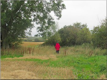
Public footpath heading diagonally across the field
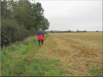
. . . from the gate we turned left along the edge of this field
Turning left to the path through the trees
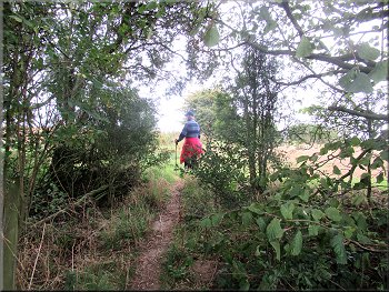
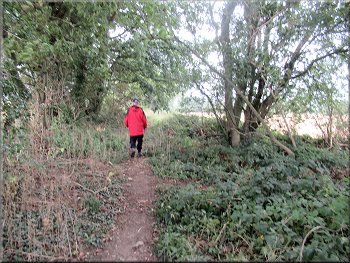
We continued along the field edge with the hedge on our left to the corner of the field where there was a strip of trees along the end of the field. After about 50m along the end of the field with the trees on our left there was a narrow path into the trees. We followed this path through the trees to the field beyond the strip of trees. |
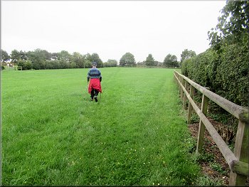
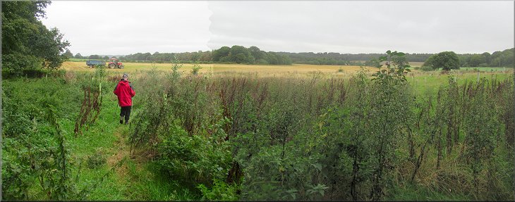
From the gate in the corner of the garden we followed the path diagonally across the field to a gate in the far left hand corner of the field. Through this gate we turned left and followed the path along the edge of the field. (Note: My OS Explorer map show the path on the other side of the hedge but the pedestrian gate in the corner of the field and the path along the edge of the next field are clear enough on the ground and easy to follow)
Gate at the far left hand corner of the field . . .
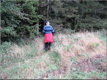
Path round the corner of the field next to the trees
Path through the belt of trees
|
Emerging from the belt of trees into the next field
|
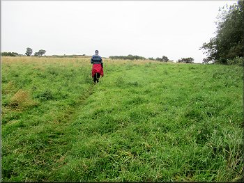
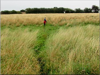
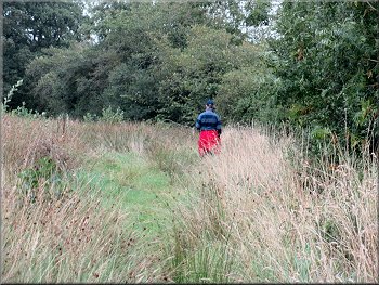
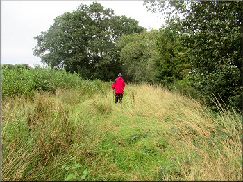
There was a well worn path across this rough pasture . . .
. . . the path led us to the far left hand corner of the field
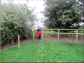
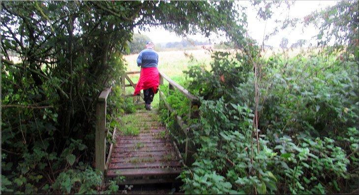
Emerging through the hedge into the next field
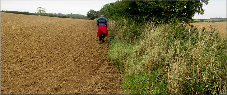
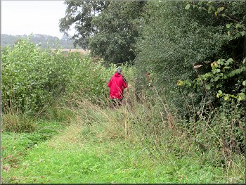
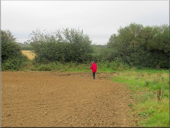
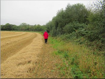
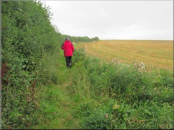
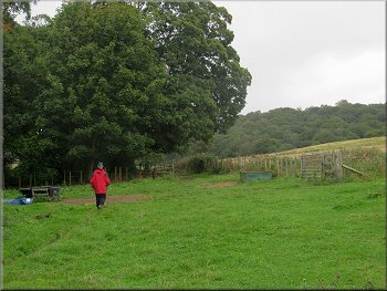
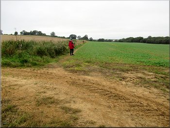
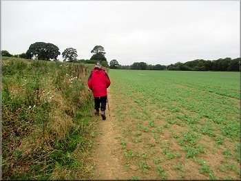
Here we turned left and then right to walk along the field edge with the hedge on our right. In places the field had been cultivated right up to the hedge and there was no alternative but to walk along the edge of the cultivated land. |
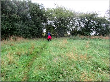
There was a well worn path through the tall grass of this rough pasture land that led us to the far left hand corner of the field. The path continued through a narrow gap in the wide hedge and came out into the next field with a hedge running straight ahead.
. . . the path continued through the tall grass . . .
Narrow path through the hedge in the field corner

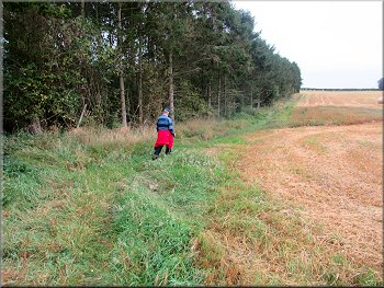
We turned left to the next field then right along the field edge
|
We walked along the edge of the field with the hedge on our right
|
Scrub where the ditch meandered away from the field edge
Scrub where the ditch meandered away from the field edge
The path climbed up some very overgrown steps into the next field. We scrambled up the bramble covered steps and through the gap to turn right and walk around the field edge with the hedge on our right. |
The field boundary followed a small meandering watercourse to our right in a deep ditch and there was a path through areas of scrub land in the meanders. We continued to the end of the field and around the corner for about 15m to a gap in the hedge.
Scrub where the ditch meandered away from the field edge
Path around the field corner to the gap in the hedge
|
Scrambling up the overgrown steps to the next field
|
Heading to our right from the gap in the hedge
In the next field we turned left up the edge of the field
Way-mark post at the top of the field
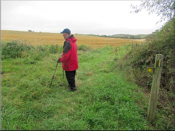
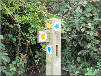
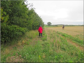
At the top of the slope we came to the edge of the field where there was another way-mark post showing both a public footpath and a bridleway rounding the corner of the field.(My Explorer map only shows a footpath but my gps gadget confirmed that we were in the right place) We continued along the top edge of the field and just to confirm that there is a bridleway a rider came towards us having a good canter across the stubble. |
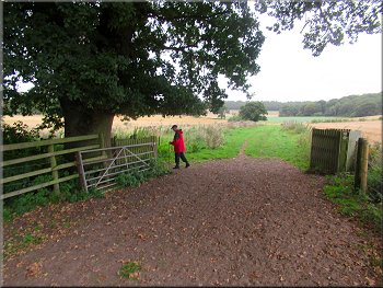
We walked around the edge of this field to the far side of the field where there was a wide gap in the hedge to allow farm machinery to pass into the next field. Just through this gap there was a way-mark post with several footpath arrows. We turned left here to follow a public footpath up the edge of the field with the hedge on our left.
Farm vehicle access at the corner of the field
Following the path up the edge of the field
Path at the top of the field with a rider cantering towards us
|
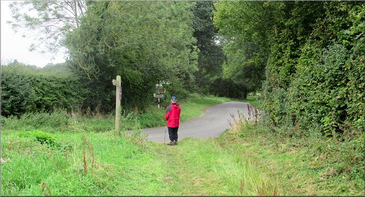
Turning right onto Sleigh Lane at the end of the field
|
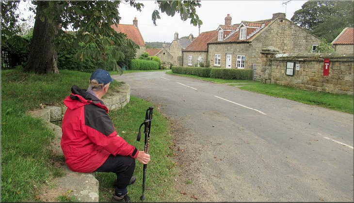
Sleigh Lane leading to the road at Ganthorpe
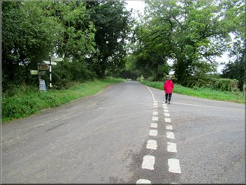
On the opposite side of the road there was a grassy mound surrounded by a low stone wall where we sat for a drink in the shade of a horse chestnut tree growing on the grassy mound. |
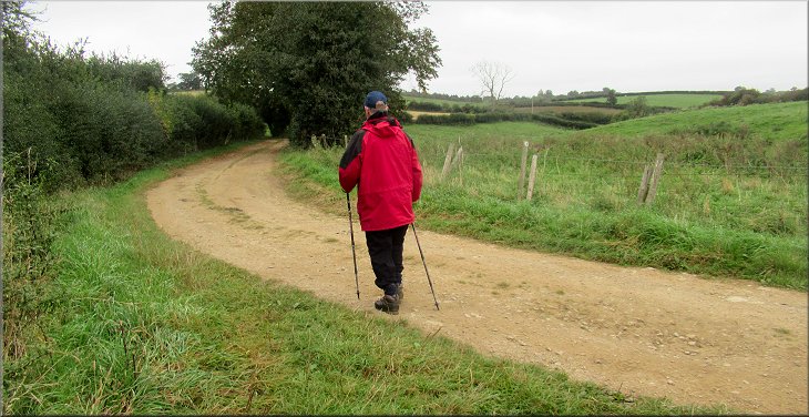
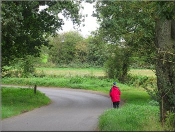
At the far side of this field we came to Sleigh Lane approaching from our right and bending round to our right as we joined it. We walked along Sleigh Lane between tall hedges for about 450m to the road at Ganthorpe.
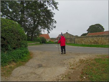
About to cross the road from Sleigh Lane to Ganthorpe
|
The start of Ganthorpe village
|
The lane through Ganthorpe village
Bridleway along an access track out of Ganthorpe village
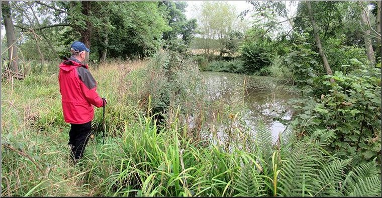
We passed a little overgrown pond on the right of the path
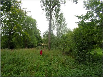
At the cottage we came into a small patch of woodland. We passed a small overgrown pond and then came to a larger open pond surrounded by tall grasses, a few reeds and some ferns. It was a very pretty setting. Just beyond the larger pond the path bent to our left and then passed through a gate into some grassland. |
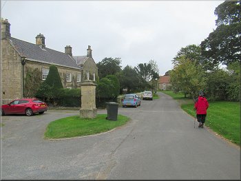
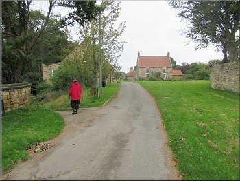
After our drink we continued along a narrow lane into the village of Ganthorpe. After less than 50m we walked round a bend to our right and after another 50m we came to a bridleway along an access track on our left. Here we turned left off the lane through the village to follow the bridleway down past a cottage on our left.
Turning left off the lane to a bridleway on an access track
Woodland beyond the cottage we passed on our left
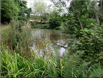
Larger open pond in a very pretty setting
|
Gate from the woodland into the fields
|
Crossing the field to the end of a strip of woodland
Turning left along the edge of the woodland
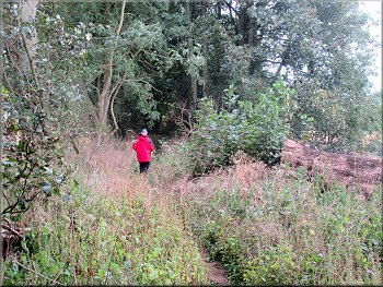
From the kissing gate we followed a footpath at the edge of some scrubland next to the belt of the trees. We crossed a small watercourse and continued along the field edge next to the trees. |
We kept straight ahead across the grassland to pass a belt of trees on our left. At the far side of these trees we turned left through a kissing gate.
Passing the end of the strip of woodland
Kissing gate to the path along the edge of the woodland
|
Path across scrubland next to the wood
|
After the wood we crossed a track to a path at the field edge
We kept left along the path through the bushes & trees
Path through the bushes & trees part of Broats Lane
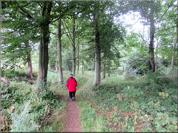
At this narrow path there was an unused pedestrian gate tied up in the hedge. There was a wide strip of bushes and trees between the fields here and the narrow path ran along the middle of this strip. In fact it was part of Broats Lane. The path soon widened out and continued between the hedges for about 200m to a road junction. |
At the end of the trees there was a farm track off to our left but we continued straight ahead along the edge of a large field with a crop of turnips which I assumes were to feed some sheep over the winter. After about 550m we were nearing the end of this large field and there was a narrow path off to our left.
Path along the edge of this large field of turnips
Path through the bushes & trees part of Broats Lane
Broats Lane between tall hedges
|
Broats Lane joining the road between Ganthorpe and Terrington
|
Following the road towards Terrington
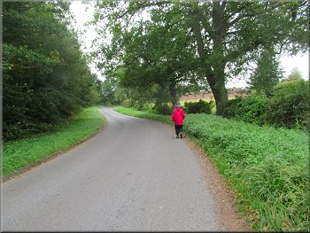
Following the road back to Terrington
Following the main street through Terrington
At Church Lane we turned right back to our parking spot and the end of our walk. The whole route had been a little over 5km and it had taken me almost three hours to walk it. |
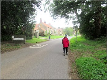
From the road junction we walked along the road for about 800m to the edge of Terrington village. We followed the road for another 250m through the village to Church Lane.
Following the road towards Terrington
Road at the edge of Terrington
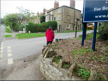
Turning right from the main street to Chapel Lane
|
Returning to our parking spot on Chapel Street at the end of our walk
|