The lay-by between Coxwold and Byland Abbey where we parked
|

|
|
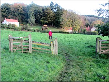
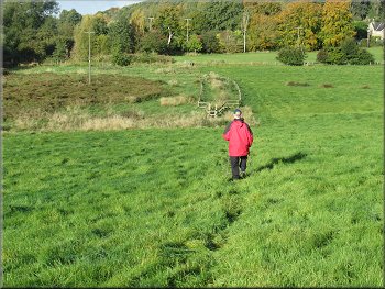
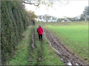
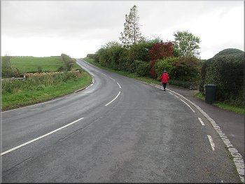
Setting off over the hill from the lay-by to Byland Abbey
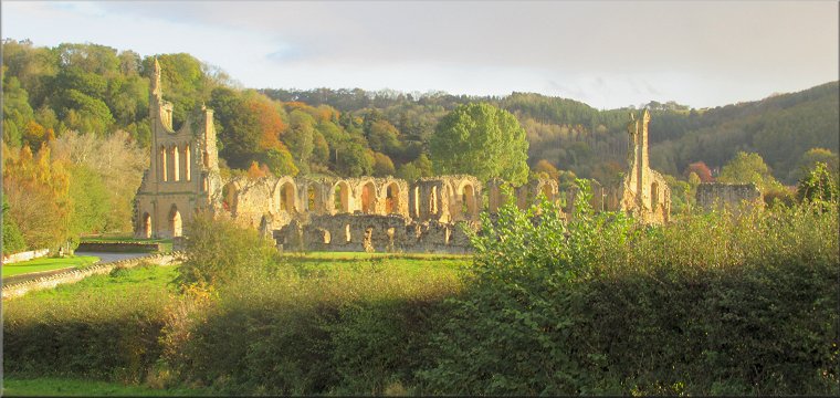
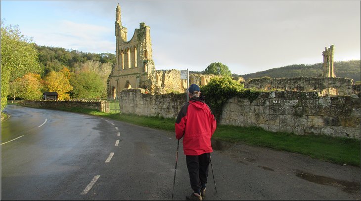
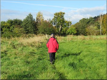
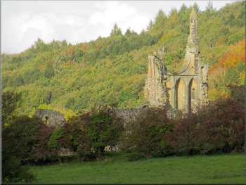
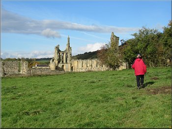
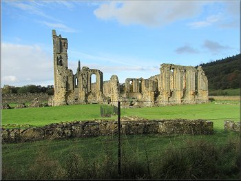
As we came over the hill top and began to drop down to the abbey there was a lovely view of the abbey in the morning sunlight. At the entrance to the abbey there is a banner saying that entry to the abbey is free and gives a web site to get the opening times. (The web site address is www.english-heritage.org.uk/visit/places/byland-abbey/ ) |
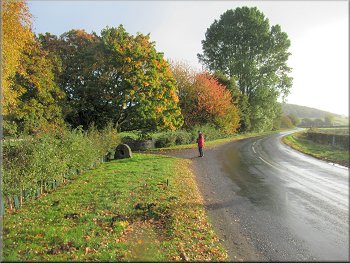
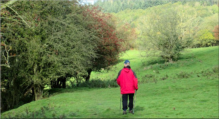
This morning my friend Jim and I drove to a lay-by between Coxwold and Byland Abbey at map ref. SE 547 785. The lay-by is the old road left when a bend was straightened out years ago. The weather today was mostly bright and fine but with the risk of an occasional shower. We set off from our parking spot walking northwards along the road up-hill towards Byland Abbey.
Byland Abbey in the sunshine as we came over the hill
|
We followed the road past the abbey to the driveway to Abbey House
|
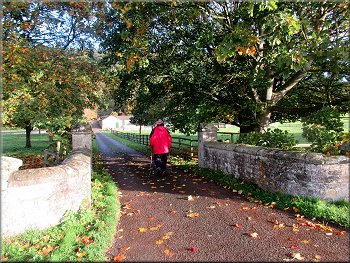
Turning into the driveway to Abbey House
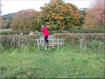
Stile from the driveway into the paddock
Climbing up to the top corner of the field
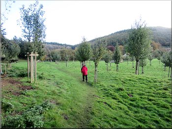
The apple orchard beyond the kissing gate
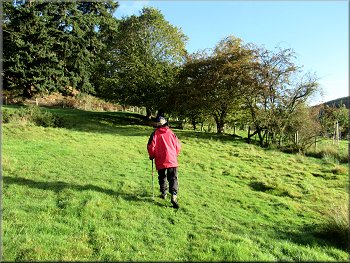
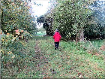
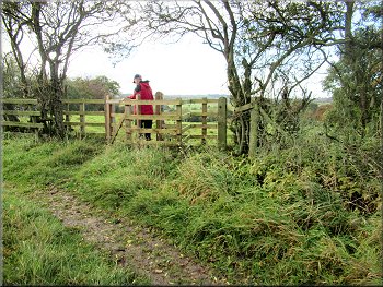
We climbed diagonally across the field, about 230m, to a kissing gate in the top corner of the field. Through the kissing gate we were in an apple orchard. We followed the path between the rows of apple trees to an open gateway into the next field. We followed the path across this field to a gate onto a road at the edge of the village of Wass. |
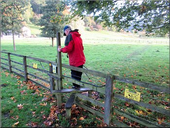
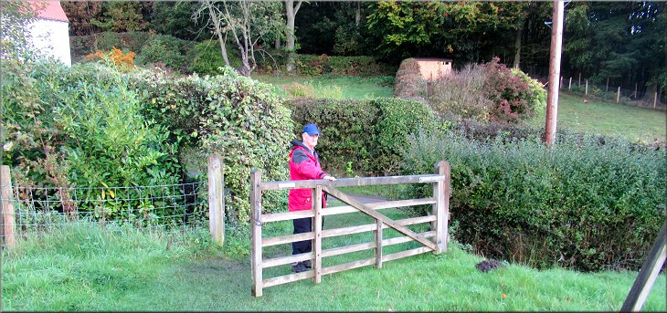
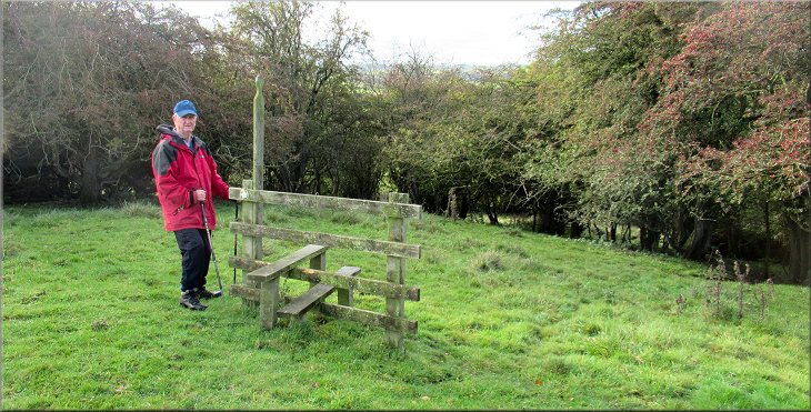
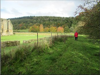
We continued past the abbey following the road as it bent to our right. Just at the end of the bend we turned left off the road following a public footpath along the drive to Abbey House. About 40m along the drive we turned right over a stile into a paddock which we crossed, about 60m, and then crossed another stile into a larger field with a high wooded bank on our left.
Walking along the driveway to the stile on our right
Stile from the paddock to a large field
Kissing gate at the top corner of the field
Path across a field to Hambleton Lane
|
Gate from the field path to Hambleton Lane at the edge of Wass village
|
Walking along Hambleton Lane to the crossroads
Heading out of Wass with the Stapylton Arms on our right
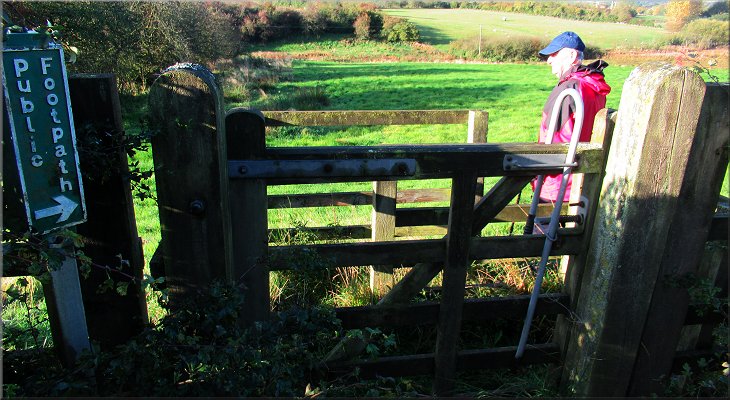
About to turn right off the road onto a public footpath
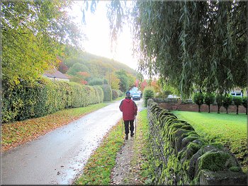
HMS is for Henry Miles Stapylton who owned the local estate at that time (See English Heritage entry for information about this water trough) From the crossroads in the middle of Wass we walked along the road for about 450m and then turned right off the road through a kissing gate in the hedge onto a public footpath across the field. |
At this road, called Hambleton Lane, we turned right and walked down Hambleton Lane to the crossroads at the pub, the Stapylton Arms. At the crossroads we kept straight on past the pub on our right and continued along the road out of the village. Near the edge of the village we passed a water trough with the initials HMS 1870.
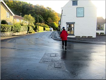
Crossing the road to the Stapylton Arms
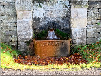
Water trough listed by English Heritage - HMS 1870
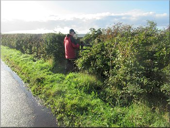
Kissing gate through the hedge to a public footpath
|
Public footpath across the field
|
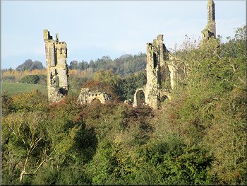
Part of Byland Abbey visible in the trees ahead
Fenced part of the path in the middle of the field
About to turn left to the field gate
Through the gate we turned right to follow a gravel track and behind us was the village sewage works. The gravel track is the water company access to the sewage works. We walked along the track for about 50m to another steel gate with a pedestrian gate built into it. Ahead of us through the gate was the road between Byland Abbey and Wass. |
We followed the path diagonally across the field to the far left hand corner. In the middle there is an elaborate fenced section of path within which the ground is quite boggy. Most people seem to simply by-pass this structure keeping it on their left hand side. When we reached the corner of the field we came to a steel field gate with a pedestrian gate built into it.
Crossing the field with Wass village away to our right
Kissing gate near the corner of the field
Heading for the gate onto the Water Company access track
|
Gate at the road where we turned left onto a path up the edge of the field
|
Public footpath along a farm track up the edge of the field
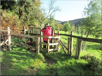
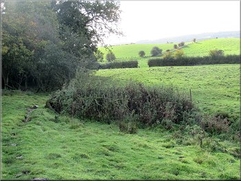
On the other side of the hedge we turned right to walk down the field with the hedge on our right. There was some woodland at the bottom of the field and about 20m along the bottom of the field there was a stile on the route of the footpath. The stile stood in splendid isolation with no fence adjoining it. |
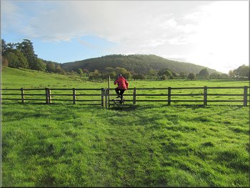
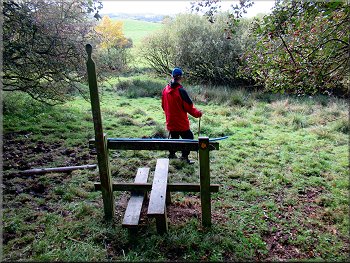
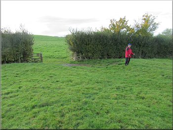
Through the gate we turned left away from the road to walk along a public footpath on a farm track at the edge of the field with the hedge on our left. The path climbed gently up a low hill to the top edge of the field. Ahead of us there was a kissing gate which we passed through and then turned left to cross to the other side of the hedge that was ahead of us.
Kissing gate at the top edge of the field
|
Stile but no fence at the top edge of the woodland
|
Looking back up the path through the woodland
Gap in the hedge where the path was churned up by cattle
Looking back to the gateway where we had doubled back
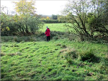
At the end of this next field, on our left, our path met another path and our plan was to double back from here on the other path. So at the end of the field we turned around and picked up the route of the path we wanted heading for the westerly corner of the woodland we had just left to take the path into the field next to the wood. |
We passed to the left of the stile (i.e. keeping the stile on our right) and continued along the path down the hill to another isolated stile, no fence, at the bottom edge of the woodland. From this stile the line of the path led to a wide gap in the hedge but the ground in this gap had been churned to a quagmire by cattle. We did cross the hedge into the next field but not quite on the line of the path.
Another stile but no fence at the bottom edge of the wood
Two paths merged in the gateway where we doubled back
Part of Byland Abbey visible in the trees ahead
|
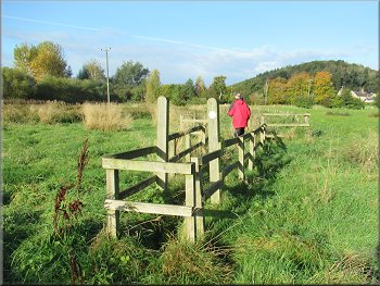
We followed the path along the edge of the field with the hedge on our left
|
The path began to veer to our right under the trees
Post marking a gap in the hedge to the next field
We followed the path to a gap in the hedge, about 30m up from the field corner. We passed through the gap in the hedge and aimed for the top right hand corner of the next field. Byland Abbey was ahead of us and when we reached the top right hand corner of the field we were at the boundary fence of the Byland Abbey site. |
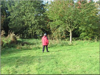
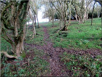
We walked to the corner of the wood and into the field next to the wood. In this field we kept to the bottom edge of the field with the hedge on our left, following the path towards Byland Abbey. The path began to veer away from the bottom edge of the field and climbed up a bank, full of rabbit holes, under the trees.
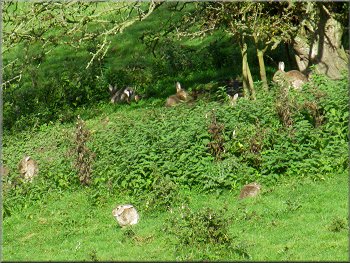
Numerous large adult rabbits grazing ahead of us
Heading for the field corner at the abbey boundary fence
|

Byland Abbey seen over the boundary fence
|
Public footpath along the abbey boundary fence
Path across the field to the road
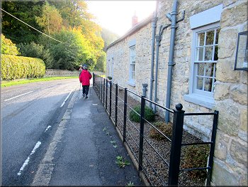
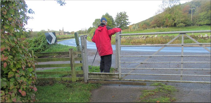
We came out opposite the drive to Abbey House that we had walked along near the start of our walk. At the road we turned left and walked along the road past the abbey on our left and past the Abbey Tea Rooms, closed, on our right. |
We continued along the path round the edge of the Byland Abbey site to the corner of the abbey site. From there we crossed the field to a wooden step stile through the hedge onto the road.
Another view of the abbey over the boundary fence
Stile from the field path to the road
|
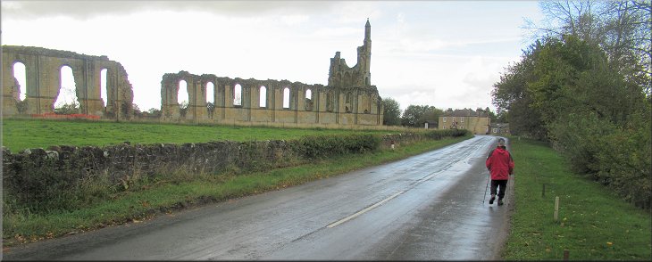
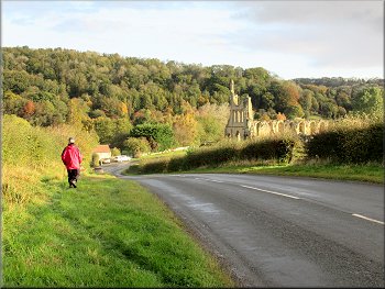
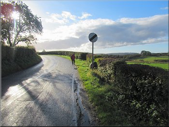
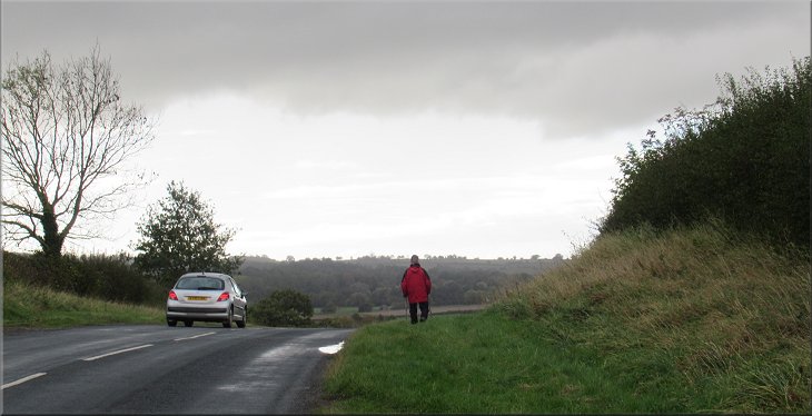
Returning along the road to the lay-by past the abbey with a shower cloud looming overhead
|
Road sign as we returned past the abbey
Heading back to the lay-by in the rain
The whole walk had been a little over 4km and it had taken me almost two and a half hours to walk it. It is a pretty and interesting walk through the rolling countryside just outside of the edge of the Hambleton Hills AONB. |
We retraced our outward route along the road and over the little hill back down to the lay-by where we had parked and the end of our walk. As we joined the road from the field path a large dark shower cloud eclipsed the sun and under this gloomy cloud it started to rain for the last few hundred metres back to the car.
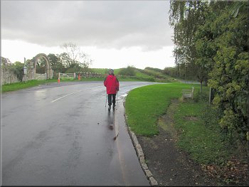
Heading back to the lay-by as the rain started
Returning to our parking spot and the end of our walk
|
After a bright sunny day it was a gloomy sky and rain as we headed back to the lay-by at the end of our walk
|