|
2001 walks |
2002
walks |
2003 walks |
2004
walks |
|
2005 walks |
2006
walks |
2007 walks |
2008
walks |
|
2009 walks |
2010
walks |
2011 walks |
2012 walks |
|
2013 walks |
2014 walks |
2015 walks |
2016 walks |
|
2017 walks |
2018 walks |
2019 walks |
2020 walks |
|
2021 walks |
1993-2000 library |
Find a Route Index |
|
A few Routes to print out |
Request a Route... |
Route No. 828 - Monday 2 November 2020
Burton Leonard, Mains Lane, Bishop Monkton,
Ripon Rowel Route circuit - 7km
Boroughbridge . . .
Route map from Ordnance Survey
Open Space service.
Map: OS Explorer 299 Ripon & Boroughbridge
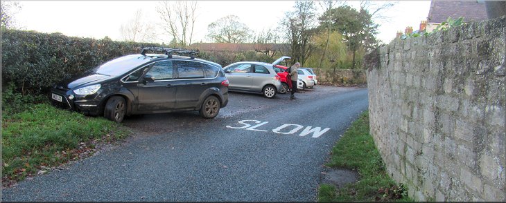
Room to park seven or eight cars by Scarah Lane to start and end the walk
|

|
|
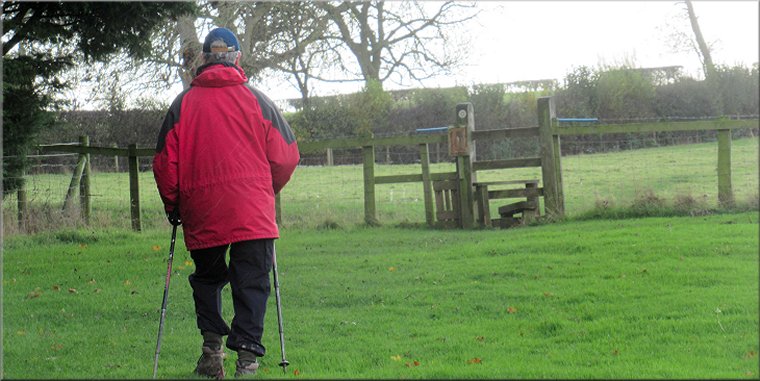
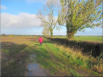
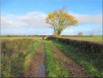
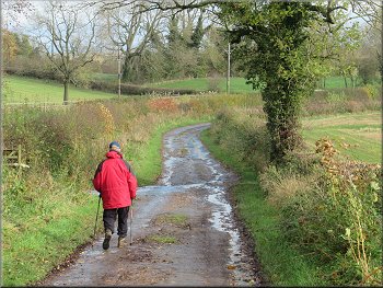
Setting off northwards along Scarah Lane
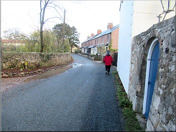
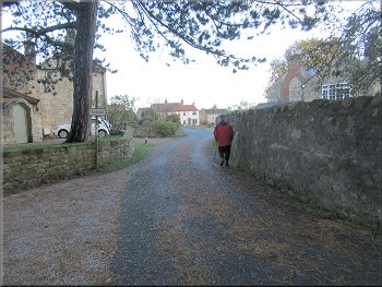
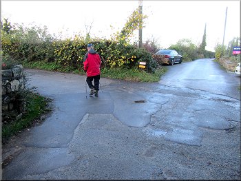
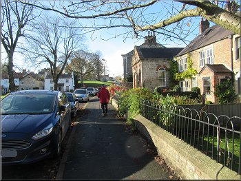
There is room for about eight cars parked at right angles to the lane between the hedge and the lane. From our parking spot we walked northwards along the lane back towards the village green and the main street through the village. We crossed the main street to walk along Peter Lane opposite. |
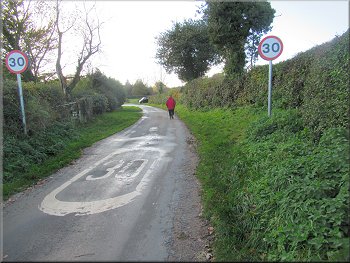
There were a few showers about today but for the most part it was expected to be a fine bright day. My friend, Jim, and I drove to Burton Leonard about half way between Ripon and Harrogate to the east of the A59. We parked in a little parking area at the side of Scarah Lane at map ref. SE 325 636.
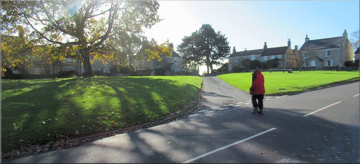
Nearing the village green along Scarah Lane
|
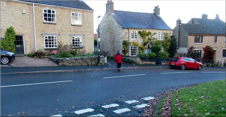
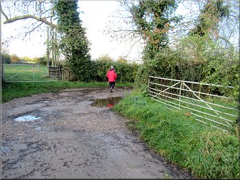
Crossing the main road to turn into Peter Lane
|
Turning left from Peter Lane on to High Peter Lane
High Peter La with the sports fields over the hedge on our left
Left turn in High Peter Lane
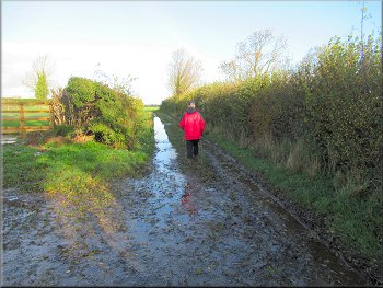
Following the farm track along the field edge
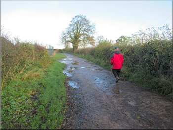
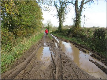
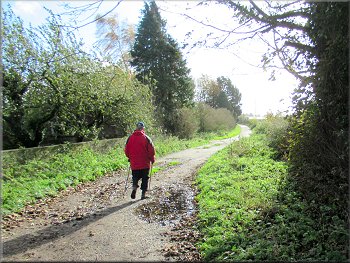
All the way along High Peter Lane the condition of the track had gradually deteriorated and it was now a muddy, grassy farm access track. About 160m beyond the last sharp bend the hedge on our left came to an end and the track continued with the remaining hedge on the right. After just a few metres there was a clear, though very muddy, path veering away across the field to our left. |
After about 100m we turned left to walk along High Peter Lane. After about 50m the lane turned sharp right with the sports fields now over the hedge on our left. After another 200m the lane turned sharp left and continued with the sports fields still over the hedge on our left. After another 100m the lane turned sharp right. Ahead we could see the cricket scorer's booth over the hedge on our left.
Right hand turn in High Peter Lane
High Peter La with the sports fields over the hedge on our left
Cricket scorer's booth by the hedge
Following the farm track along the field edge
|
Start of the muddy path veering left across the field
|
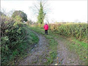
Path across the field marked by a quad bike track
Muddy path across the next field
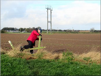
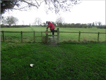
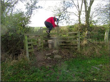
Broken stile out of the grass field
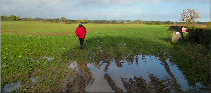
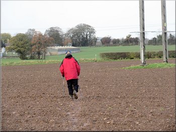
. . . Start of the path across the large cultivated field
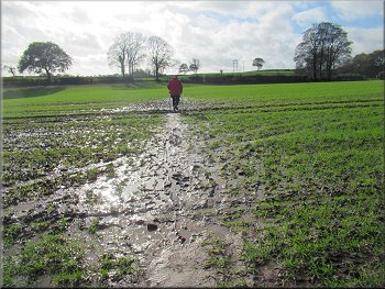
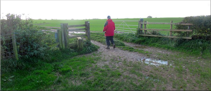
Again there was a muddy path to begin with but the path gradually petered out. From the OS Explorer map we could see that the public footpath passed close by the far corner of the farm buildings ahead of us and to our left. So we continued across this field aiming for that corner of the farm buildings. As we reached the farm buildings on our left we could see the path leading to the corner of the field ahead where there was a gap in the fence that led onto a track called Mains Lane. |
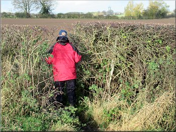
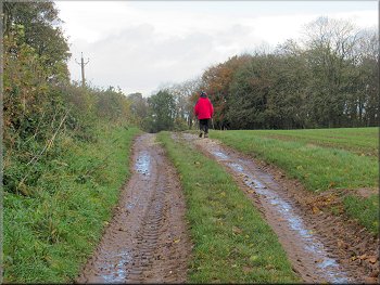
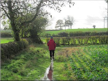
At the far side of the field there was a gap in the hedge which we passed through to another clear, but muddy, path across a cultivated field. Again there was a gap in the hedge at the far side of this field that led us into some grassland. We followed a path through the grass to a broken stile at the far side of the grassland. Over this stile there was another quite clear muddy path across the cultivated field to the end of a hedge at the field boundary. When we reached this hedge there was a very large cultivated field ahead of us with a crop sprouting in it.
Gap in the hedge to the next field
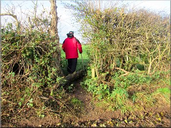
Gap through the hedge into a grass field
Path across the field to the end of the hedge . . .
Heading for the corner of the last farm building ahead
|
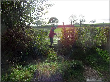
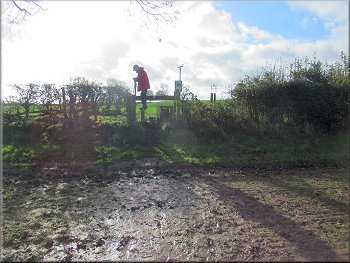
Gap through the hedge from the field path onto Mains Lane
|
Heading for Bishop Monkton along Mains Lane
Mains Lane leading to Bishop Monkton
Farm buildings by Mains Lane at the edge of Bishop Monkton
Following the road around the edge of Bishop Monkton
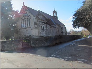
Then turned right off the road on the route of the Ripon Rowel Walk along the entrance drive to a caravan site opposite a large church with a spire. |
We walked along Mains Lane for about 1.8km the road at the edge of Bishop Monkton. At the road we turned right and we walked along the road for almost 200m.
Heading for Bishop Monkton along Mains Lane
Mains Lane leading to Bishop Monkton
We turned right from Mains Lane to walk along the road
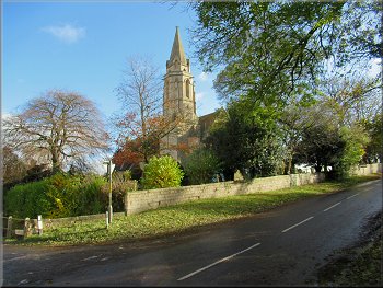
Church opposite our turning to a caravan site
|
Opposite the church we turned right along the Ripon Rowel Route through a caravan site
|
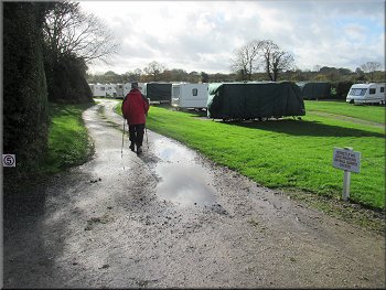
The Ripon Rowel Route through the caravan site
Field path from the caravan site
Ripon Rowel route along the field edge
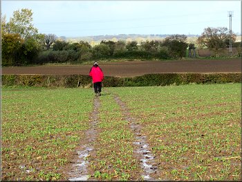
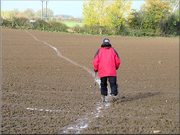
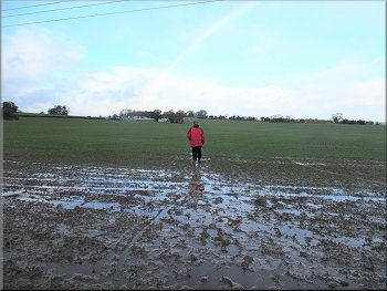
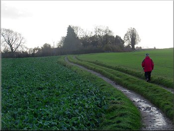
Muddy path across a cultivated field
We climbed up the two stone steps and the wooden stile into the next field about 1.5m higher than the field we had left. We walked along the path at the edge of this cultivated field with the hedge on our left to a gap in the hedge at the far left hand corner of the field. Through the gap in the hedge there was another cultivated field with a muddy path across it to a wooden stile in the hedge at the far side. |
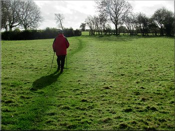
We followed the access road through the caravan site and ahead of us across a grass area there was a stile over the fence out of the caravan site along the route of the Ripon Rowel Walk. From the stile we followed a clear path across the grassland to the far left hand corner of the field. We continued along the path across the next grass field to a stile at the top of a low bank at the field boundary opposite.
Leaving the caravan site on the Ripon Rowel Route
Stile on top of a low bank
Gap in the hedge to the next field
Stile at the far side of the cultivated field
|
We crossed the next field to a farm track in the far left hand corner of the field
|
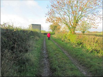
Farm track leading back to Burton Leonard
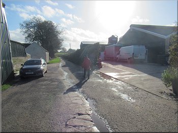
Poultry farm by the lane
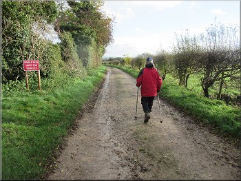
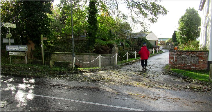
Following Straight Lane into Burton Leonard
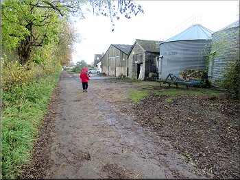
There we came to a surfaced road called Common Back Lane. We walked along this lane past Hambleton View Farm to the junction with Straight Lane. At the junction we turned right and walked along Straight Lane for about 300m to the junction with Mill Lane. |
Beyond the stile we followed the path across the field under a power line and out to a farm track in the far right hand corner of the field. We followed the Ripon Rowel footpath along this farm track between the fields for about 500m.
The farm track became a surfaced lane, Common Balk Lane
Following Straight Lane into Burton Leonard
Church at the junction of Straight Lane and Mill Lane
|
Turning right from Straight Lane onto Mill Lane around the churchyard
|
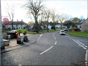
Nearing the Post Office shop on our left
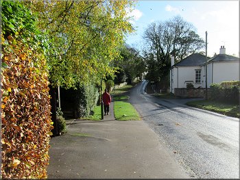
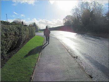
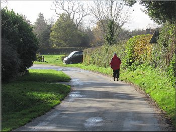
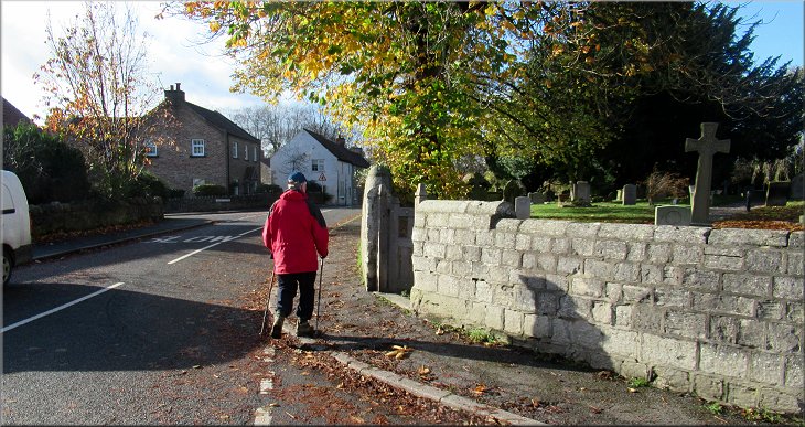
Then we continued along the road through the village up the hill, past Peter Lane and turned left back along Scarah Lane to the parking area at the end of our walk. The whole walk had been 7km and it had taken me about three hours to walk it. |
At Mill Lane we turned right and walked about 75m along Mill Lane to the Post Office Shop on the left hand side of the road. We bought a take-a-way coffee and bacon roll each at shop and sat outside in the sunshine to consume them with a pleasant view of the village green.
The road through the village with the green on our left
|
Turning left onto Scarah Lane heading back to the car park and the end of our walk
|