|
2001 walks |
2002
walks |
2003 walks |
2004
walks |
|
2005 walks |
2006
walks |
2007 walks |
2008
walks |
|
2009 walks |
2010
walks |
2011 walks |
2012 walks |
|
2013 walks |
2014 walks |
2015 walks |
2016 walks |
|
2017 walks |
2018 walks |
2019 walks |
2020 walks |
|
2021 walks |
1993-2000 library |
Find a Route Index |
|
A few Routes to print out |
Request a Route... |
Route No. 841 - Thursday 3 June 2021
B6265, Ripon Racecourse, River Ure,
River Skell, Ripon Canal circuit - 4.3km
Ripon . . .
Route map from an Ordnance Survey
mapping service.
Map: OS Explorer 299 Ripon & Boroughbridge
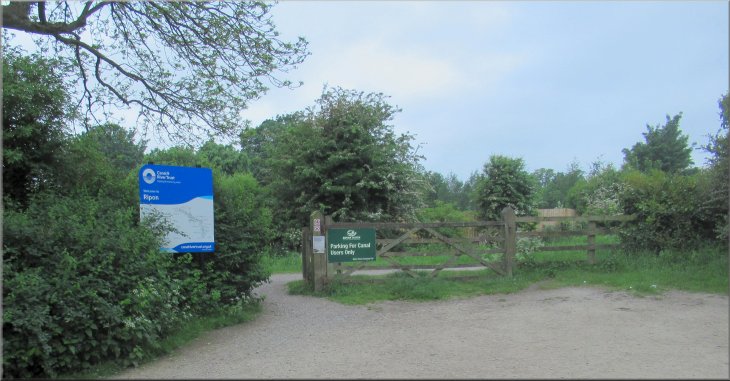
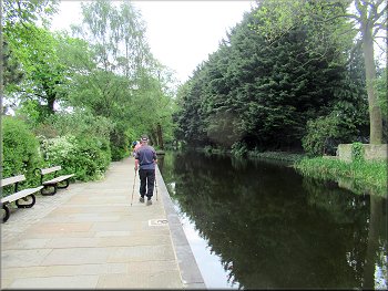
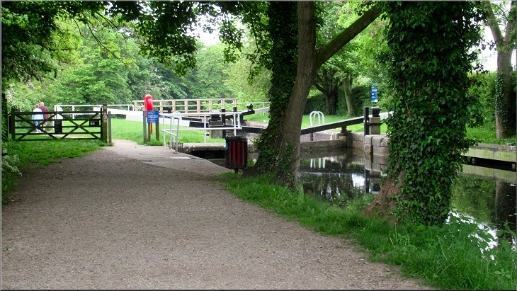
Exit from the car park to the canal tow path
|

|
|
Leaving the car park towards the narrow boat marina
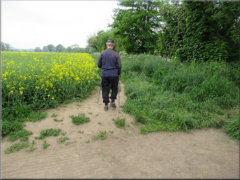
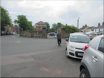
Nearing the B6265 on the access road to the nature reserve
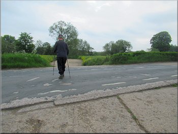
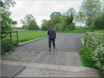
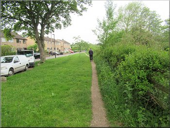
Crossing the B6265 at the war time concrete apron
We came to an access road that leads from the B6265 to the Ripon City Wetlands Nature Reserve. We crossed this access road and followed a path next to the B6265 to a large square concrete apron where there were a few vehicles parked near a refreshment van serving hot drinks and snacks. The concrete apron is part of a facility built during the second world war in preparation for 'D'-day that was used to train American Sherman Tank drivers to handle their tanks in deep water at the site of an old ford across the River Ure just upstream of Hewick Bridge. From this concrete apron we crossed B6265 and continued along the concrete apron opposite to the bank of the River Ure. |
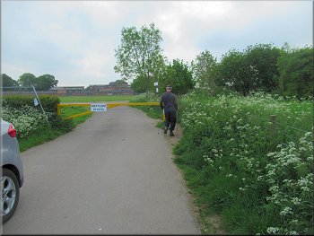
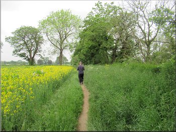
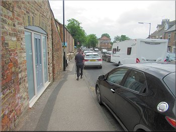
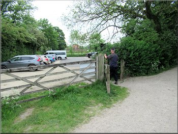
This morning my friend, Jim, and I drove to a little car park off the B6265, next to the Ripon Canal at map ref. SE 3237 7042, provided by the Ripon Racecourse for the benefit of canal users. From this car park we set off along the access road south east towards the canal narrow boat marina. After about 250m we came to a yellow vehicle barrier across the access road. We walked round the barrier on the well walked path and continued for a few metres to a junction in the access road. At the junction we took the left hand fork and continued along the access road around the north side of the racecourse buildings. There were numerous local dog walkers about. We walked along the access road between the race course buildings and the B6265.
Traffic barrier across the access road
Path next to the B6265
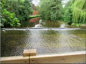
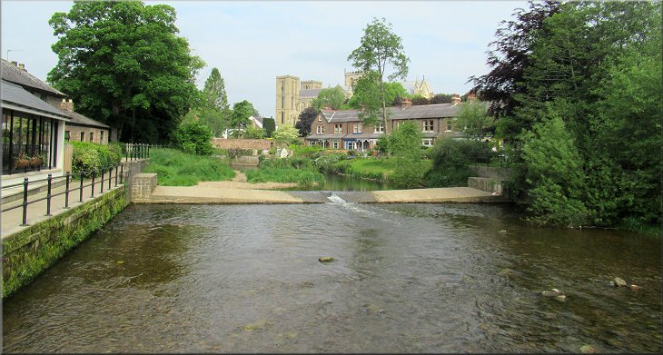
Looking right to Hewick Bridge as we reached the River Ure
|
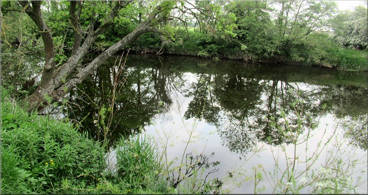
The River Ure where we joined the river side path
|
Following the river side path from the concrete apron
Following the path beside the River Ure heading upstream
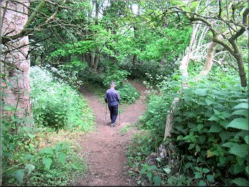
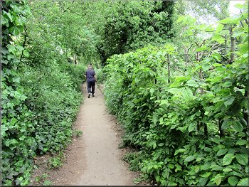
Path through the woodland on the river bank
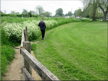
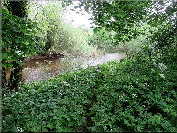
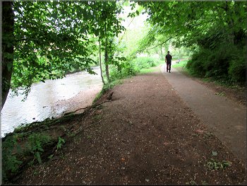
After almost 1km we came to the fence of the Ripon sewage works where our path had to go nearer to the River Ure through some mature woodland along the river bank. Then just ahead we came to River Skell flowing into the River Ure from our left.
|
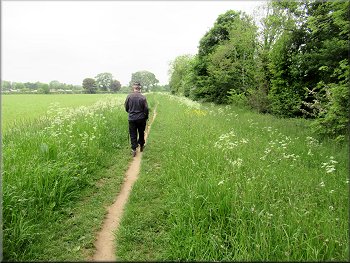
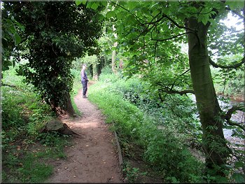
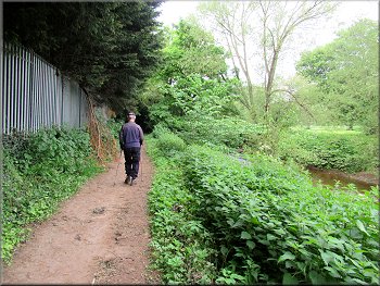
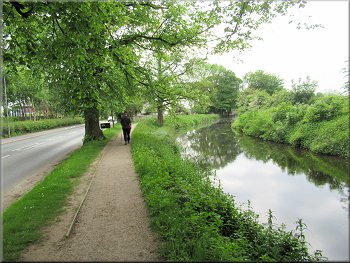
At the river bank we turned left and followed the well walked path along the river bank. We walked along this path at the edge of the fields with occasional views of the River Ure through the trees on our right.
Following the path beside the River Ure heading upstream
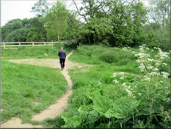
Post & rail fence going round the Ripon Sewage Works
Path through the woodland on the river bank
|
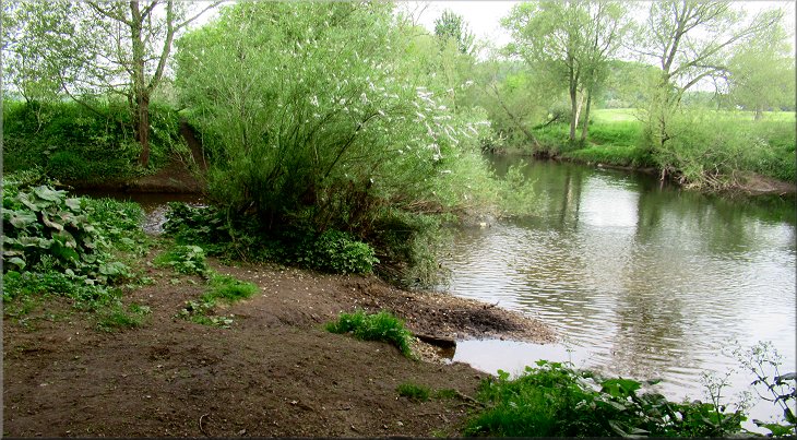
The River Skell flowing into the River Ure from the left
|
River Skell near its confluence with the River Ure
Path by the River Skell heading upstream
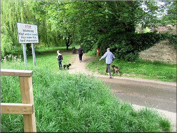
As we came closer we realised that it was only the half of the crossing from the far bank that was in tact. The part from our bank of the river had been broken up and washed away. |
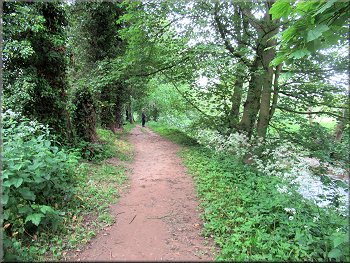
At the River Skell we turned left and continued along the path heading upstream beside the River Skell. After about 150m we saw some well made concrete stepping stones across the River Skell.
Path by the River Skell heading upstream
Nearing the first stepping stones along the river side path
|
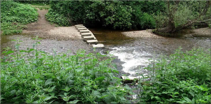
The first set of stepping stones only crossed half way
|
River side path nearing Fisher Green
The second set of stepping stone all in tact
Fisher Green passing under the Ripon By-pass
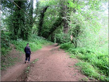
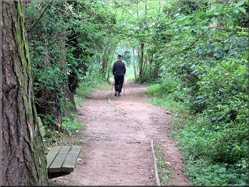
It was a fine dry day and the water level was quite low so there was no difficulty crossing the stepping stone. I have no idea what they would be like in bad weather or high water levels. From the stepping stones we continued along Fisher Green beside the River Skell for another 250m to pass under the Ripon by-pass (A61). About 100m beyond the by-pass Fisher Green came to an end where the road turned sharp left and became Firs Avenue. Here we turned right to cross a footbridge over the River Skell. |
After another 150m the river side path emerged from the trees and joined a public road called Fisher Green next to the River Skell. After about 100m along Fisher Green we came to some steps from the road down to another set of stepping stones across the river. This time the stepping stones were completely in tact and Jim crossed the river on them to the route of the Ripon Rowel Walk on the far side, and then returned.
Path by the River Skell along Fisher Green
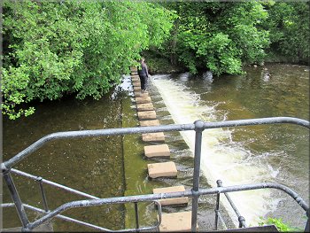
Jim checked the stepping stones for future reference
Footbridge over the River Skell at the end of Fisher Green
|
We crossed the footbridge over the River Skell at the end of Fisher Green
|
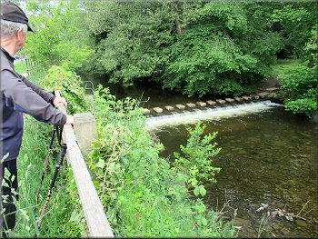
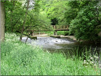
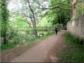
Weir across the River Skell seen from the footbridge
Path by the River Skell between the footbridges
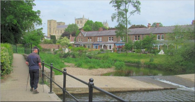
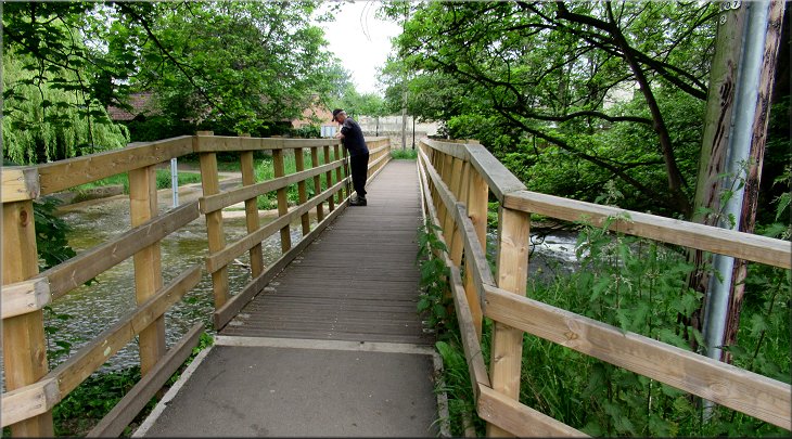
We crossed the footbridge and as we did so a view of Ripon cathedral came into sight to the right of the footbridge. When we reached the far side of the footbridge we turned right and followed a public footpath past the cafe along the river side. |
On the far side of the River Skell the road is called Priest Lane. Once across the river we turned left and followed the pleasant footpath with the river on our left. After about 200m we came to a footbridge across the river on our left. It was a pretty spot with a weir across the river upstream of the footbridge and a cafe across the river.
Path by the River Skell from the footbridge
Nearing the second footbridge
|
Ripon Cathedral seen from the second footbridge
|
River side path nearing the B6265 bridge
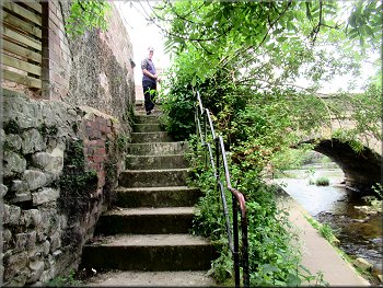
Steep stone steps from the River Skell path up to the B6265
It would have been much easier and safer to have continued under the road bridge and then turn left up the ramp to the road on the right side for the canal head. Anyway we passed through the entrance into the canal head courtyard. Just on our right in the courtyard there was a little cafe called The Forge. We stopped there at one of the outside tables for a very nice bacon sandwich and a coffee. |
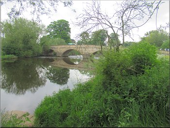
We walked along the river side footpath for about 170m from the footbridge until we came to the road bridge carrying the B6265 over the River Skell. At the road bridge we climbed the steep stone steps up to the road. This was not the best route, the road was very busy and we had to wait for a gap in the traffic to dash across to the canal head.
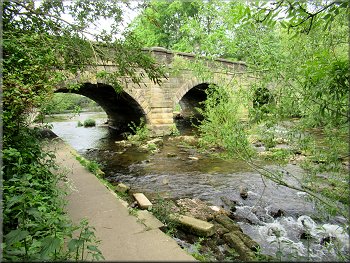
B6265 road bridge crossing the River Skell
Busy traffic on the B6265
About to enter the canal head courtyard
|
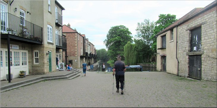
After our refreshments at the Forge cafe we set off from the courtyard along the canal tow path
|
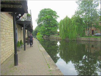
Path from the courtyard by the canal
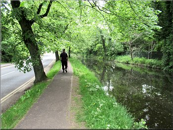
Tow path between the canal and the B6265
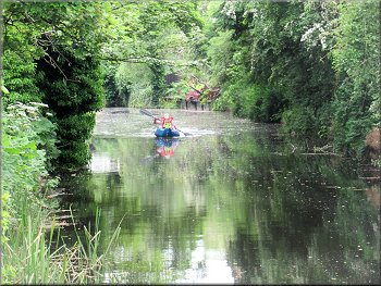
Family trip in an inflatable canoe
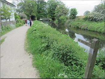
Tow path back to the car park
After about 600m we passed under the Ripon by-pass along the tow path. From the by-pass it was only another 400m along the tow path back to the little car park by the canal and the end of our walk. The whole route had been 4.3km and it had taken us almost three hours including our refreshment stop at the Forge cafe. |
After our beak in the morning sunshine we set off again now along the canal tow path from the canal head. The canal was to our right as we walked along the tow path and the B6265 was on our left. The mature trees by the canal provided lovely cool shade as the temperature was now rising towards mid-day.
Following the tow path from the canal head
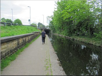
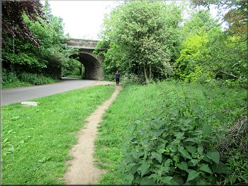
We followed the tow path under the Ripon by-pass
Tow path east of the Ripon by-pass
Turning into the car park from the tow path
|
Canal lock just past the car park entrance
|