|
2001 walks |
2002
walks |
2003 walks |
2004
walks |
|
2005 walks |
2006
walks |
2007 walks |
2008
walks |
|
2009 walks |
2010
walks |
2011 walks |
2012 walks |
|
2013 walks |
2014 walks |
2015 walks |
2016 walks |
|
2017 walks |
2018 walks |
2019 walks |
2020 walks |
|
2021 walks |
1993-2000 library |
Find a Route Index |
|
A few Routes to print out |
Request a Route... |
Route No. 842 - 10 June 2021
Helmsley Market Place, Elmslac Close,
Carlton Lane, Elmslac Road, Feversham Road,
Carlton Road, Ash Dale, Tabular Hills Walk,
Carlton Road, Borough Beck, High Street,
All Saints Church circuit - 3.5km,
Helmsley, North York Moors . . .
Route map from an Ordnance Survey
mapping service.
Map: OS Explorer OL26 North York Moors Western area
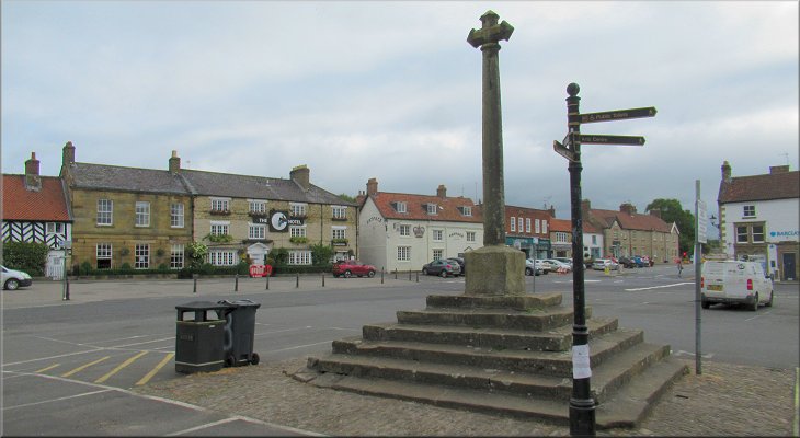
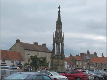
The old market cross in the Market Place, Helmsley
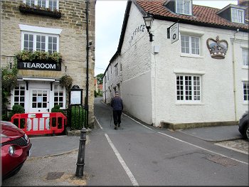
Today the weather forecast expected a cloudy morning clearing to a clear hot sunny afternoon. My friend, Jim, and I set off early to walk in the cool part of the day. We drove to the little market town of Helmsley about half an hour from home. We were early enough to find a free parking spot on the street and at busier times there is plenty of 'Pay & Display' parking. From our parking spot we walked into the Market Place to start our walk from the old market cross. |

|
|
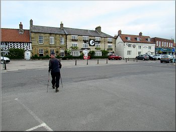
Crossing the main road from the market cross
Walking up Elmslac Close
Turning left from Carlton Lane to Elmslac Road
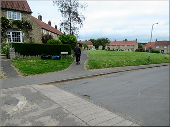
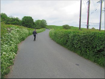
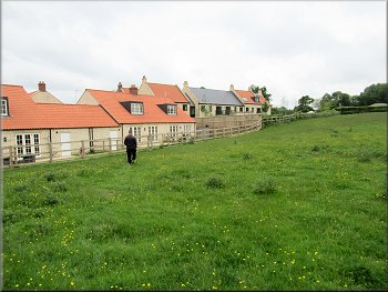
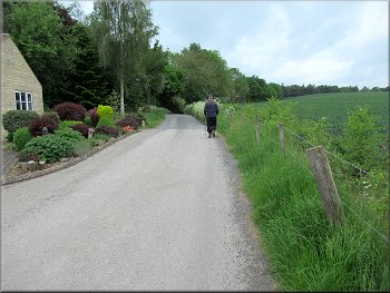
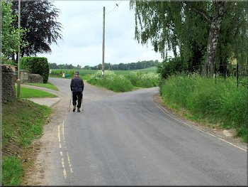
Then we turned left to walk along Elmslac Road. This road is through a pleasant housing estate with wide grass verges. We continued along the road as it bent to our right and became Feversham Road. We followed Feversham Road out to its junction with Carlton Road where we turned left to walk along Carlton Road out of Helmsley. |
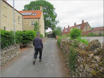
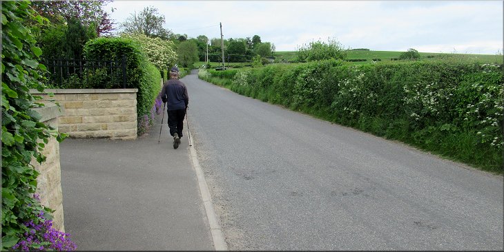
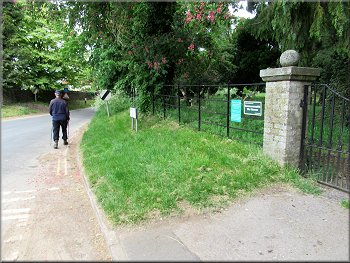
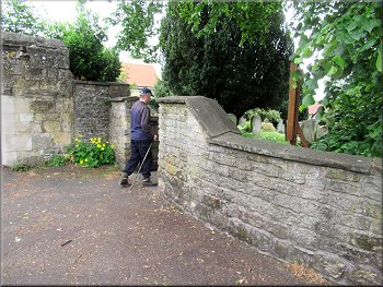
From the Market Cross we crossed the main road to the north of the market square to a narrow lane squeezed between the buildings called Elmslac Close. We walked along Elmslac Close to its junction with Carlton Land and there we turned right to walk along Carlton Lane for about 60m.
Setting off along Elmslac Close squeezed between the buildings
Turning right from Elmslac Close to Carlton Lane
Nearing the junction of Feversham Road and Carlton Road
|
Following Carlton Road out of Helmsley
|
Walking up Carlton Road
Footpath from Carlton Road along the track into Ash Dale
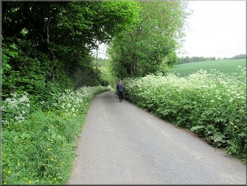
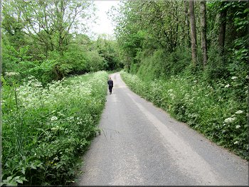
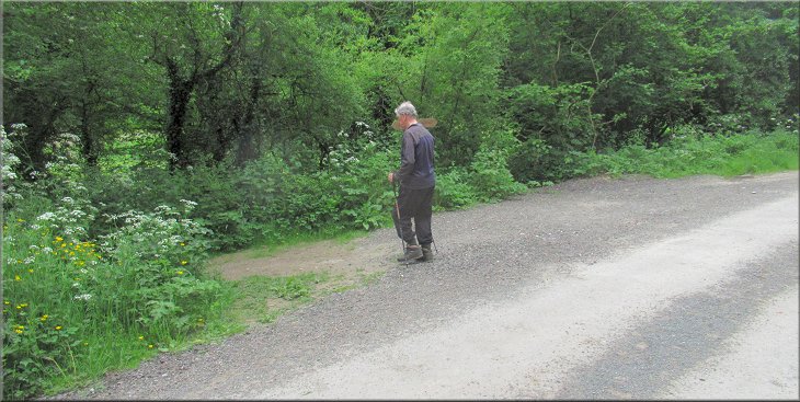
At the turning there was a seat with a view back over Helmsley where we sat for a drink for a few minutes. After our break we continued along the access track for about 400m until our path joined the route of the Tabular Hills Walk coming up from Helmsley on our left. |
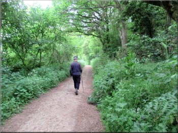
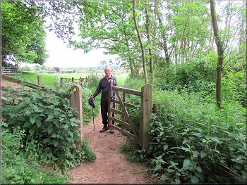
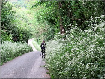
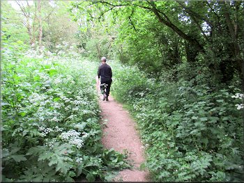
The road climbed gently and made a sharp bend to our left. Just as the bend started we turned left off the road onto a public footpath along an access track into the woods leading into Ash Dale.
Turning left off Carlton Road towards Ash Dale
Footpath along the track to Ash Dale
|
Turning sharp left along the route of the Tabular Hills Walk
|
Route of the Tabular Hills Walk heading towards Helmsley
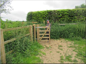
Through this gate we turned sharp right along the field edge
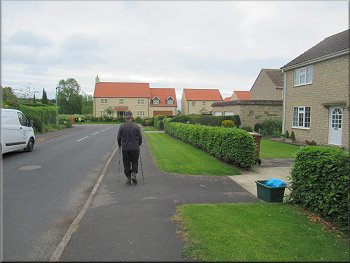
Path along the field edge with new housing over the fence
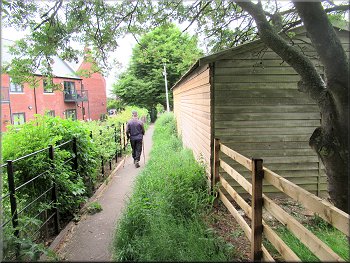
Alleyway alongside the housing estate
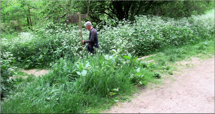
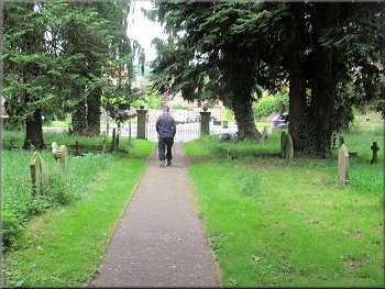
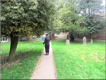
Our path made a final right angle turn out of the fields and into an alleyway along side the houses. After about 250m we turned right off the alleyway and into the Old Helmsley Cemetery. |
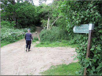
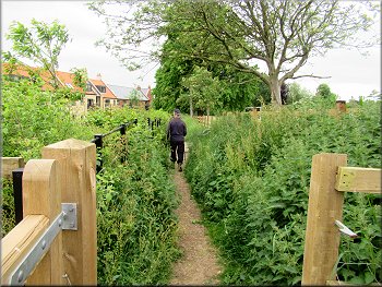
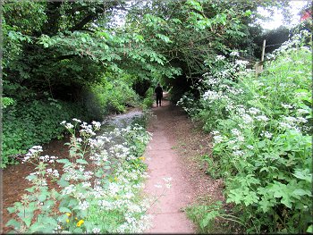
We turned left here to follow the route of the Tabular Hills Walk back towards Helmsley. The path made a series of right angle turns to go around the edge of the fields back to the edge of the housing development in Helmsley.
Tabular Hills Walk leaving the woodland for the field path
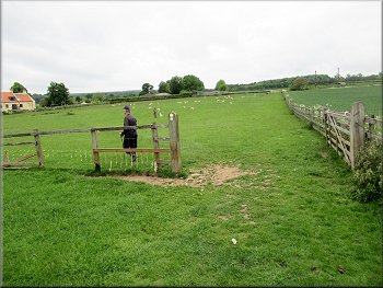
Through the gateway we turned left along the field edge
Gate to the alleyway alongside the housing
Alleyway alongside the housing estate
|
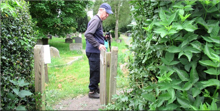
Gate from the alleyway into Helmsley Old Cemetery
|
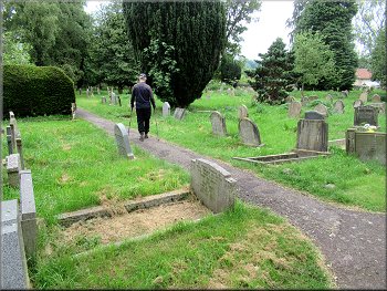
Path through Helmsley Old Cemetery
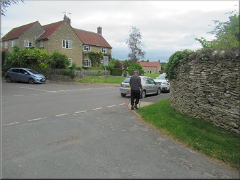
Baxton's Road on a right hand bend from the cemetery gate
Last of the houses on Beckdale Road
Following Beckdale Road into the woodland
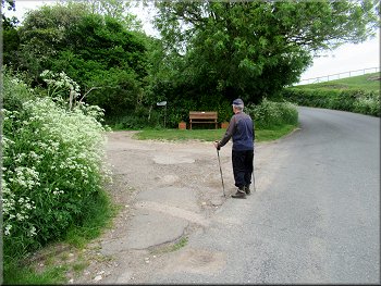
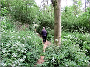
We walked along Beckdale Road with open fields on our right and houses on our left. After about 150m the houses came to an end and the road dropped down a slope into woodland. After about 200m along the road from the last house the road began to bend to our right and on the left there was a footpath almost doubling back into the woods. |
We followed to path through the cemetery with its old gravestone inscriptions and turned to our left to head down to the gate leading onto Baxton's Road. Through the gate we turned right and walked along Baxton's Road round a bend to our right. Just round the bend we took a left fork off Baxton's Road onto Beckdale Road.
Cemetery gate onto Baxton's Road
About to take the left hand fork along Beckdale Road
Following Beckdale Road into the woodland
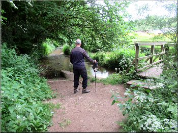
About to turn left down to Borough Beck
|
Turning left down to Borough Beck
|
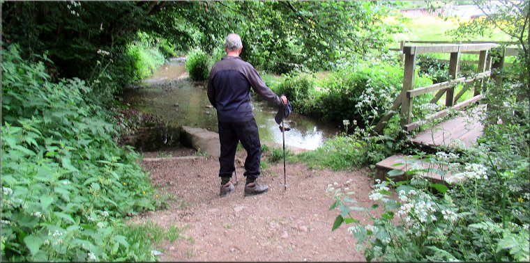
Path down to Borough Beck
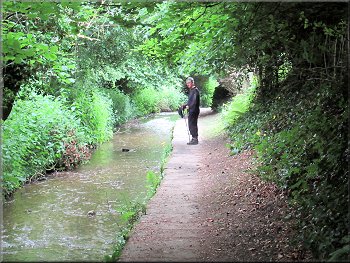
Stone flag path next to the beck
Stone flag path next to the beck
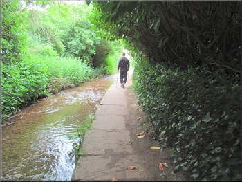
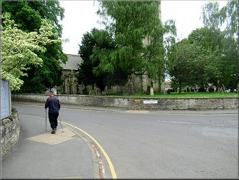
We crossed the footbridge and turned left to follow a flagged footpath with a drop to the beck on our left. We walked along this shady path beside the beck for about 200m until we emerged out onto the footway next to the B1257 called High Street as it enters Helmsley. |
We turned left here to follow the narrow path through the woodland ground cover. After about 100m we came to a stream called Borough Beck with a footbridge over the beck on our right.
Footbridge over Borough Beck
Stone flag path next to the beck
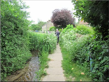
Stone flag path next to the beck
|
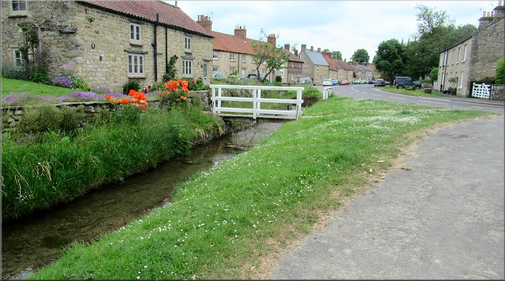
Emerging onto Main Street (B1257) from the path next to Borough Beck
|
Walking along Main Street towards All Saints Church
Gate into the churchyard from Canons Garth Lane
Nearing the gate from the churchyard into the Market Place
Beyond the church we came to a gate from the churchyard out to the road opposite the Market Place. We crossed the road to the Market Cross and the end of our walk. The whole route had been about 3.5km and it had taken me a little over two hours to walk it. There are plenty of cafes in Helmsley and we found one just off the Market Place for our usual coffee and bacon sandwich to round off our walk. |
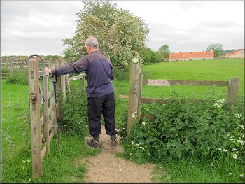
After about 200m the road name changes to Church Street and here we turned left off the B1257 onto a side road called Canons Garth Lane going round the churchyard of All Saints Church. After about 60m along this side road there was a gate on our right into the churchyard of All Saints Church. We followed the path through the churchyard down past the church building on our right.
Turning left into Canons Garth Lane
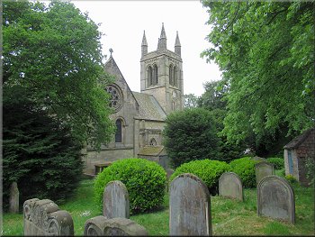
All Saints Church seen from the path through the churchyard
Feversham monument in the Market Place
|
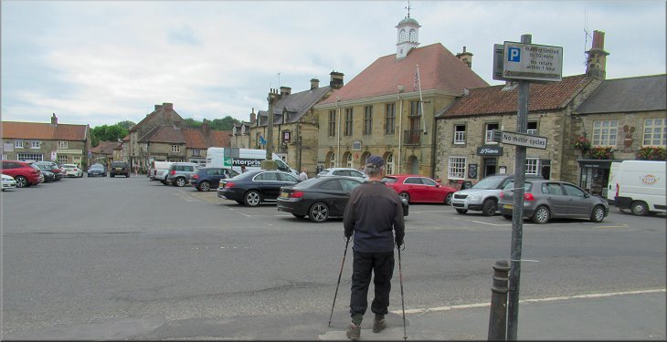
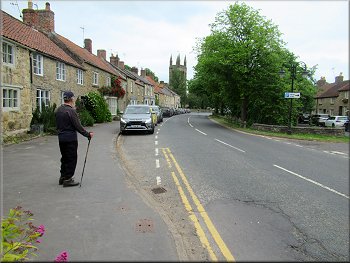
Returning to the Market Place at the end of our walk
|