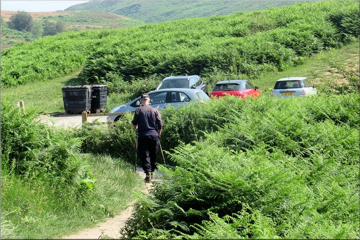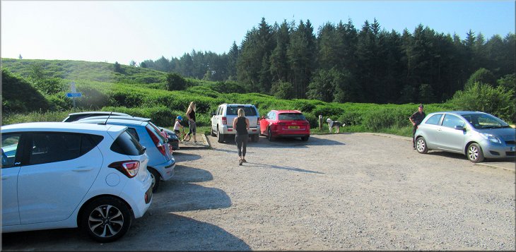
The small car park where we started out walk
We are having a settled spell of hot fine weather just now. This morning my friend, Jim, and I drove to Cod Beck Reservoir near Osmotherley. There is a small car park at map ref. SE 4679 9926 and a larger car park a little further on at map ref. SE 4694 9937. There are a couple of footpaths between the two car parks. On the opposite side of the road to the first car park there is a stone marker post on a mound. Now-a-days this is the official start of The Lyke Wake Walk across the North York Moos to Ravenscar on the coast almost 40miles (64km) away. |
Gravel path leaving the south eastern corner of the car park
Crossing Cod Beck on the footbridge
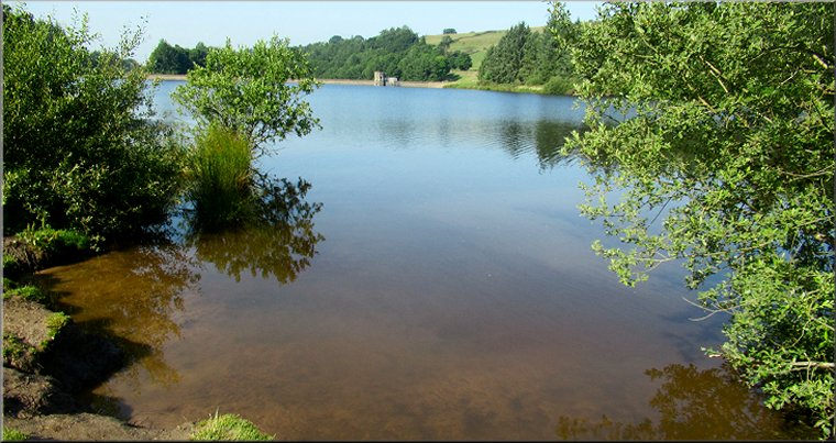
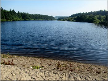
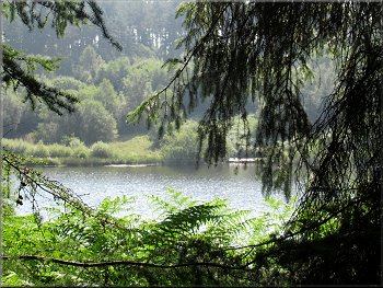
View across the reservoir from the gravel path
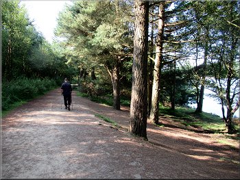
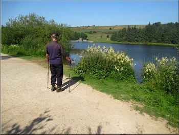
Following the gravel path to the dam
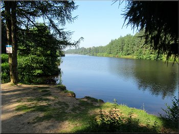
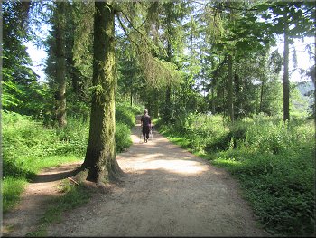
Here the gravel path was much wider and climbed up briefly through the trees and then dropped down to the edge of the reservoir. The broad gravel path continued along the edge of the reservoir to the dam at the southern end of the reservoir. |
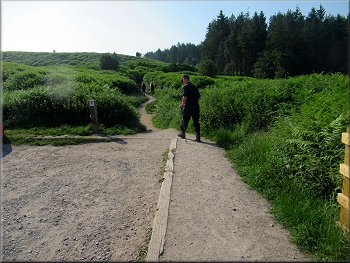
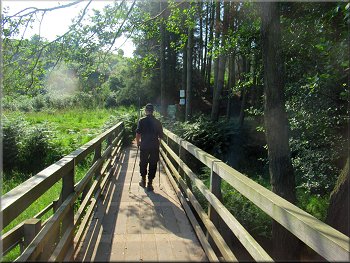
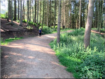
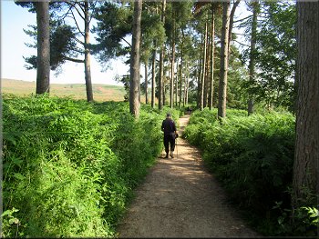
From the first car park we followed a little gravel path from the south eastern corner of the car park to a footbridge over Cod Beck just upstream of the reservoir site. From the footbridge we walked along the clear gravel path into the reservoir site.
Pedestrian gate onto the bridge over Cod Beck
Short climb where the path enters the reservoir site
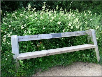
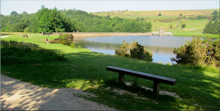
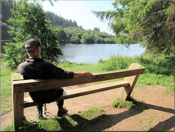
There were numerous memorial seats like this one
Another pause to enjoy the view
|
The downstream face of the dam
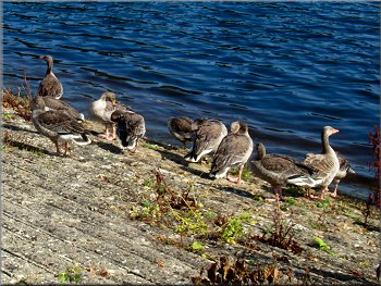
Greylag geese on the face of the dam
There was a small flock of greylag geese sitting at the water's edge on the dam, and there are also a few Canada geese living on the reservoir. We crossed the dam to the draw-off tower and spillway at the far end of the dam. |
The reservoir is no longer used for drinking water supply but is simply used to maintain a steady flow of water down Cod Beck for ecological reasons.
Looking along the reservoir from the dam
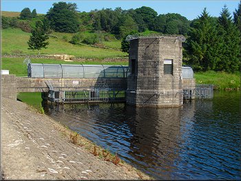
The draw-off tower no longer in use
|
Return path through the trees by the reservoir
The gravel path leading back towards the car park
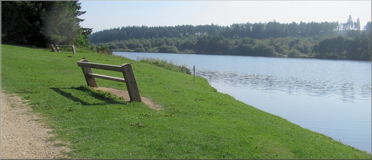
Memorial seat at another view point
Gravel path through the trees back to the car park
The gateway led us back into the car park next to the road. It had been a short but very pleasant walk in the sunshine next to the reservoir. It was only about 2.3km but it had taken me almost two hours to persuade my wonky knees to take me that distance. |
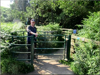
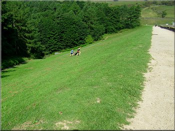
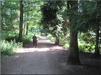
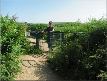
At the end of the dam we turned right to continue along the broad gravel path through the woodland next to the reservoir. We continued along this path to the end of the reservoir site where we passed through a pedestrian gateway.
View across the reservoir from the gravel path
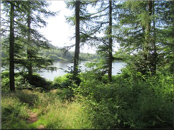
Another view across the reservoir from the gravel path
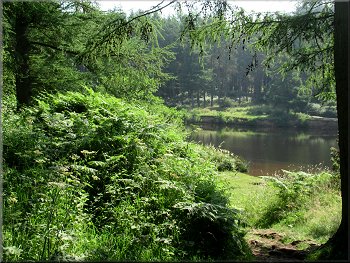
It is such a pretty place
Gateway out of the reservoir site
|