|
2001 walks |
2002
walks |
2003 walks |
2004
walks |
|
2005 walks |
2006
walks |
2007 walks |
2008
walks |
|
2009 walks |
2010
walks |
2011 walks |
2012 walks |
|
2013 walks |
2014 walks |
2015 walks |
2016 walks |
|
2017 walks |
2018 walks |
2019 walks |
2020 walks |
|
2021 walks |
1993-2000 library |
Find a Route Index |
|
A few Routes to print out |
Request a Route... |
Route No. 854 - Thursday 14 October 2021
Reeth, Back Lane, River Swale,
Healaugh Stepping Stones & return - 4km
Swaledale . . .
Route map from an Ordnance Survey
mapping service.
Map: OS Explorer OL30 Yorkshire Dales Northern & Central Areas
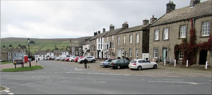
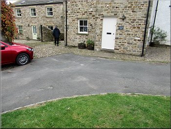
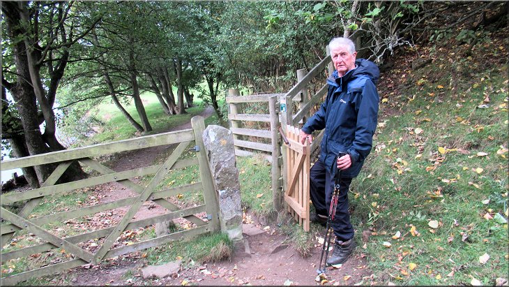
Start of our walk at the car park at the north west corner of the village green in Reeth
|

|
|
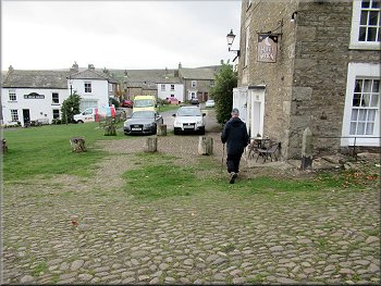
Going south from the Kings Head and Black Bull hotels
Alleyway down from Anvil Square to Back Lane
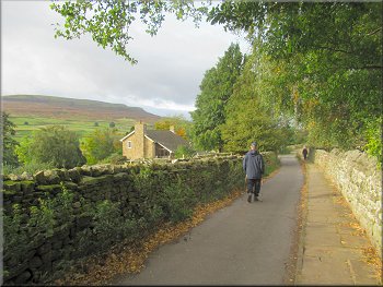
The car park is about 40m south of the Public Conveniences, so that is quite handy too. From our parking spot we set off southwards to Anvil Square. Here the road turns right but we walked to the left hand corner of the square to the start of a little alleyway that follows a wiggly route southwards down to a narrow road called Back Lane. |
We seem to have found another little break in the weather that should allow us to do another short walk without getting wet, so my friend, Jim, and I drove to Reeth in Swaledale and parked in the car park at the north western corner of the village green at map ref. SE 038 993.
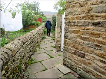
Alleyway at the south west corner of Anvil Square
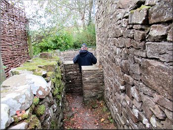
Alleyway leading on to Back Lane
|
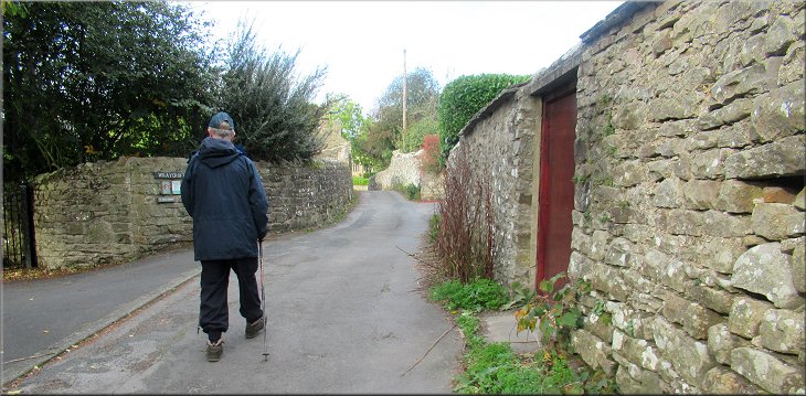
Heading west along Back Lane
|
Heading west along Back Lane
Looking across Swaledale from Back Lane
On the left here there is a track heading down to the riverside and a pedestrian suspension bridge across the river. There was a new timber fence blocking access to the track and a notice warning that the track was too dangerous to use as a result of erosion. |
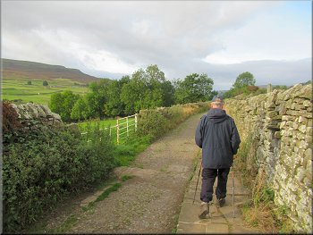
At Back Lane we turned right to walk along the lane. We followed back Lane for about 350m to the end of the public road. From the end of the public road a farm access track continued for about 50m to some field gates across the track.
Heading west along Back Lane
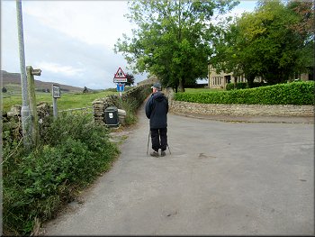
Coming to the end of the public road along Back Lane
|
Barrier across the path down to the suspension bridge closed by erosion damage
|
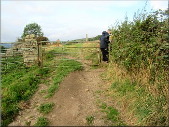
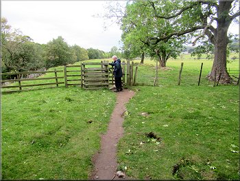
Gate to the field path towards Healaugh
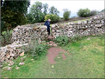
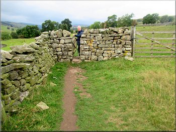
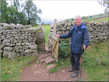
There was a gated squeeze stile at each dry stone wall
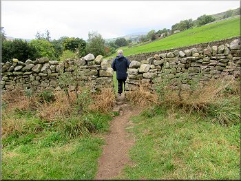
There was a gated squeeze stile at each dry stone wall
Turning down the slope to the path by the River Swale
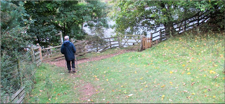
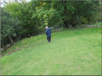
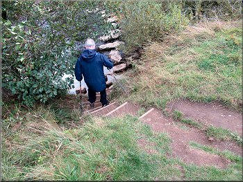
After about 550m from the closed path there was a steep grassy slope on our left with a path zig-zagging down through the trees to wards the River Swale. We walked down the slope to a wooden fence at the bottom. |
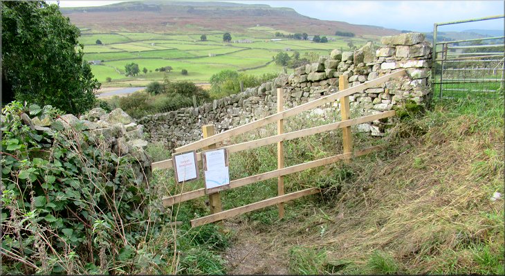
We continued straight ahead through a pedestrian gate at the side of the field gates and followed the narrow public footpath alongside the wall on our left. Along the path there were gated squeeze stiles in the dry stone walls at each field boundary.
There was a gated squeeze stile at each dry stone wall
There was a gated squeeze stile at each dry stone wall
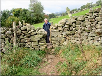
There was a gated squeeze stile at each dry stone wall
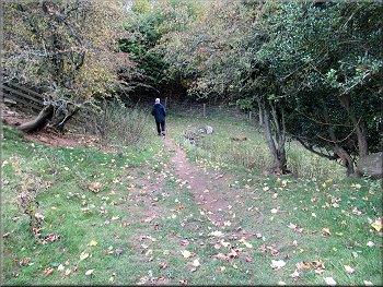
Zig-zag path down to the River Swale
|
Turning onto the path by the River Swale
|
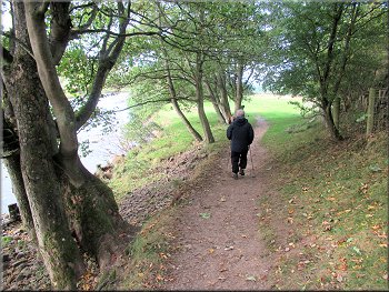
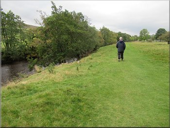
Path next to the River Swale
Path next to the River Swale
Steps down to the stepping stones
Opposite this track there were some steps down the river bank to the water's edge. From the bottom of the steps there are stepping stones crossing the river in an arc upstream. The stepping stones are large uneven blocks of rock with gaps of about 0.5m between them. I managed to cross from the river bank to the second large stepping stone, but I could not make the stride to the next one with my feeble wonky knees. |
On our left there was a pedestrian gate from a path along the river bank form the little suspension bridge and on our right there was another pedestrian gate to the path that continued upstream along the river bank. We walked along this river side path for about 900m until we came to a walled track on our right coming down to the river bank from the village of Healaugh.
Path next to the River Swale

Path next to the River Swale
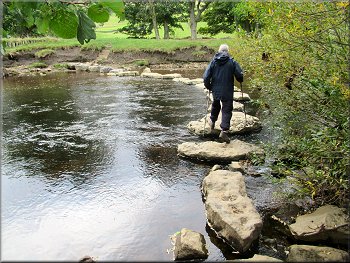
Stepping stones across the River Swale
|
This was a huge disappointment. I had planned to go downstream along the far river bank to the little suspension bridge and cross the river there to walk back up to Reeth. Jim was fine with the stepping stones and this had been a serious worsening of my capabilities. The walk from Reeth to the stepping stones had been 2km and I had no choice but to walk back to Reeth the way we had come. The stepping stones across the River Swale below Healaugh are not marked on the OS Explorer map and for normal knees they should form a reliable river crossing when the river level is low enough to leave the top of the stones dry.
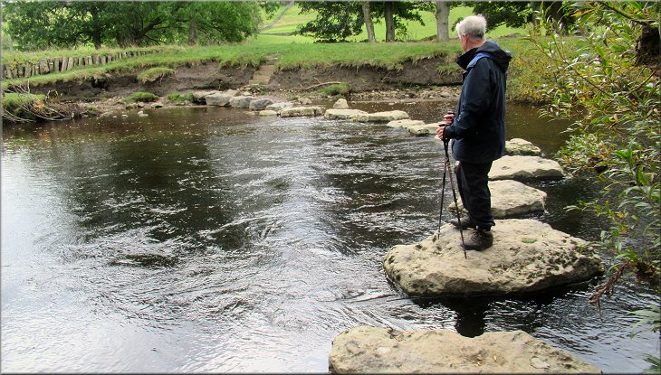
Stepping stones across the River Swale below Healaugh - not shown on the OS maps
|