Menu:
National Parks
The approximate route is shown by a blue line.
Use your mouse to drag the map to the area of interest and
zoom in/out using the controls on the left hand side of the map.
Please use my map to find the route on your own large scale
walking map such as the OS Explorer series at 1:25000.
If you have time if you do this walk please let me know how you get on.
That would be very helpful to me to keep my information accurate and up to date.
Please note that I provide this free service to you as a fellow walker on the
understanding that you walk
the route entirely at your own risk and that the information is not used for
any commercial purpose.
Library Route No. 940319
Rosedale Abbey, Russell's Wood, Hamer Moor,
Cropton Forest, Hartoft Bridge circuit - 18km
Rosedale - North York Moors . . .
Map: OS Explorer OL26 North York Moors Western area at 1:25000
General Directions (see markers on the route map)
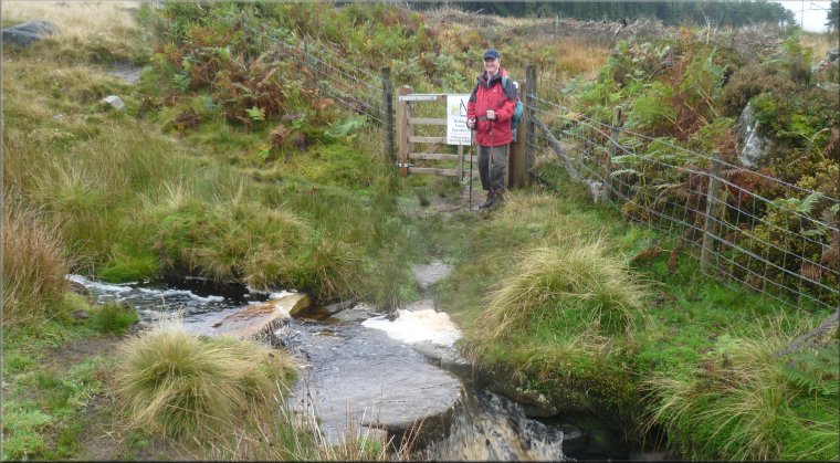
1.) Start the walk at the village of Rosedale Abbey where there are a couple of small car parks and some road side parking, also public toilet facilities and cafes. From the junction (map ref. SE724957) of the village main street (Alder Carr Lane) and the road up Rosedale Chimney Bank (Gill Lane) head out of the village along Alder Carr Lane. After about 1km turn left off the road to follow a public footpath (marked by a sign post), through a pedestrian gate next to a field gate. Continue along this path climbing up the valley side past the southern end of a small block of woodland called Pry Hills Wood, and up to a minor road, called Hancow Road, at the corner of a conifer plantation called Russell's Wood at map ref. SE740957.
2.) At Hancrow Road at the corner of Russell's Wood cross the cattle grid and turn left off the road to follow a public footpath down the edge of the plantation. Continue along this path through the plantation and down to a minor road in Hartoft Dale at map ref. SE753961. The path emerges on to the road opposite a farm access track. At the road turn left to walk along the road for about 800m to a right hand bend to a bridge over Hartoft Beck. From the bridge continue along the road to Higher Row Mires farm and from the farm take the public bridleway climbing up on to Hamer Moor. From the farm follow the bridleway for about 1.5km to map ref. SE751983.
3.) At this point (map ref. SE751983), there is another bridleway on the right that doubles back across the moor and about 100m ahead there is the corner of a field enclosure. Turn sharp right here to follow the bridleway to the edge of the Cropton Forest at map ref. SE760969. Go through the gate and follow the path along the western edge of the forest for about 2.5km to Head House.
4.) From Head House the bridleway follows a forest access track for a little over 1km to a left hand bend in the track at map ref. SE765935. Just before reaching the bend turn right off the track to follow a narrow footpath down the steep hillside. The path is rather overgrown in places and crosses two forest access roads before joining a third forest access road at map ref. SE759934. Walk along this access road through the forest for about 1.5km, passing the Spiers Bank House outdoor centre on the right, to the road just above Hartoft Bridge at map ref. SE749924. At the road turn right and follow the road across Hartoft Bridge and up the hill past The Blacksmiths Country Inn on the right.
5.) Just beyond the Blacksmiths Country Inn, opposite the pub car park is a field gate with a footpath sign next to it. Turn left off the road to go through this gate and follow the footpath down to the River Seven. Cross the footbridge over the river and follow the path up to join a bridleway at map ref. SE744934, running up the valley. Continue along the bridleway for about 1.6km to Hollins Farm. From the farm the bridleway follows an access road for about 1.2km to the road that climbs up Rosedale Chimney Bank at map ref. SE724955. At the road turn right to walk down the hill to the road junction where the walk began.
(top of page)